Trail Overview
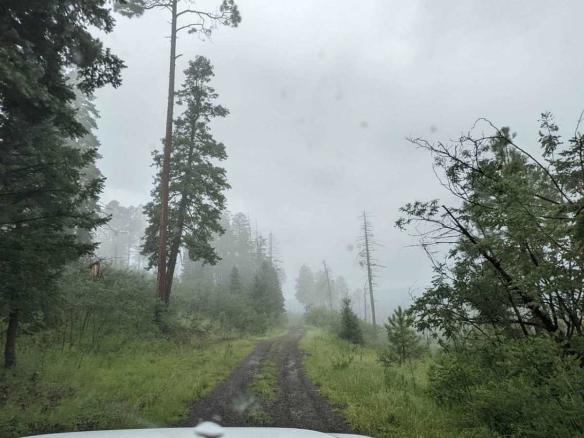
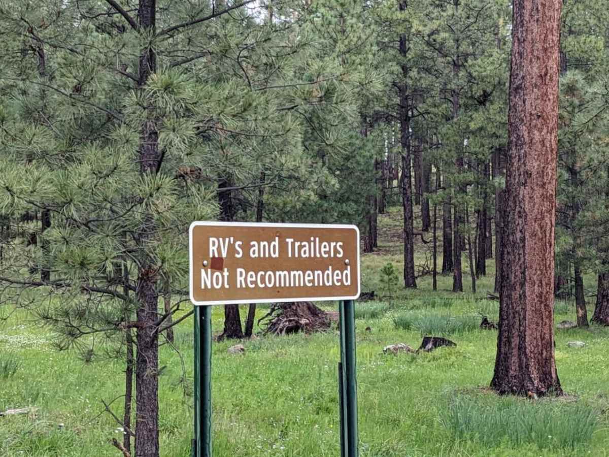
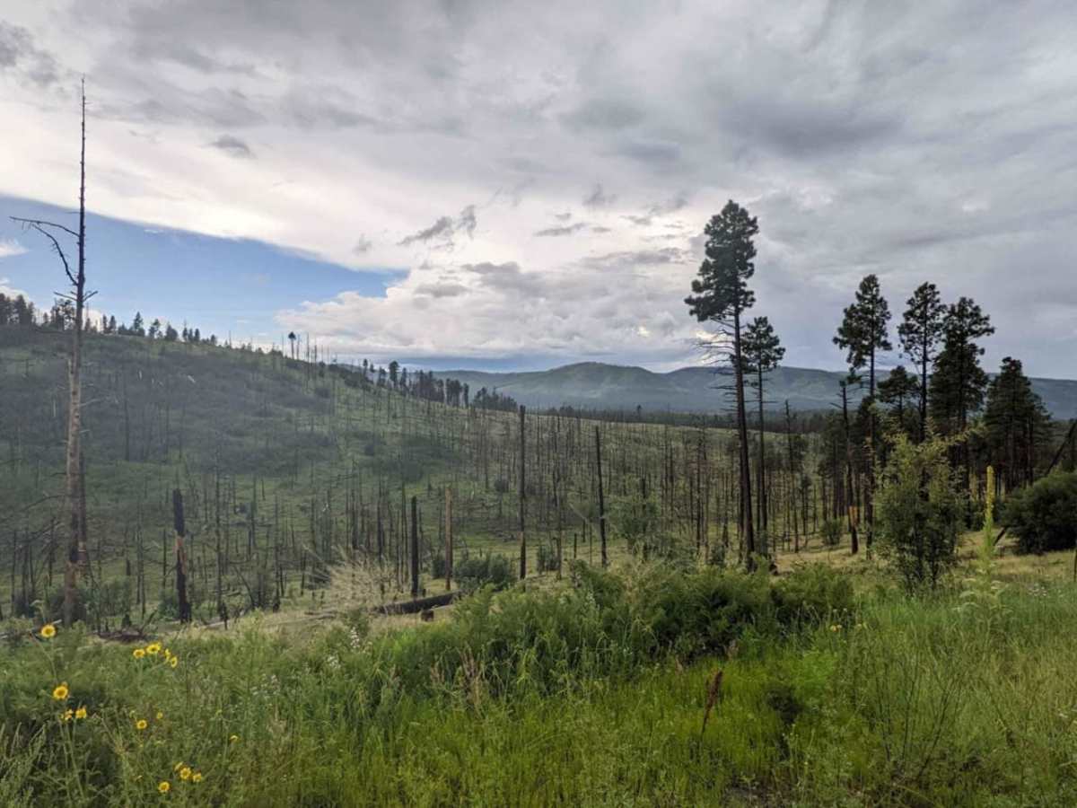
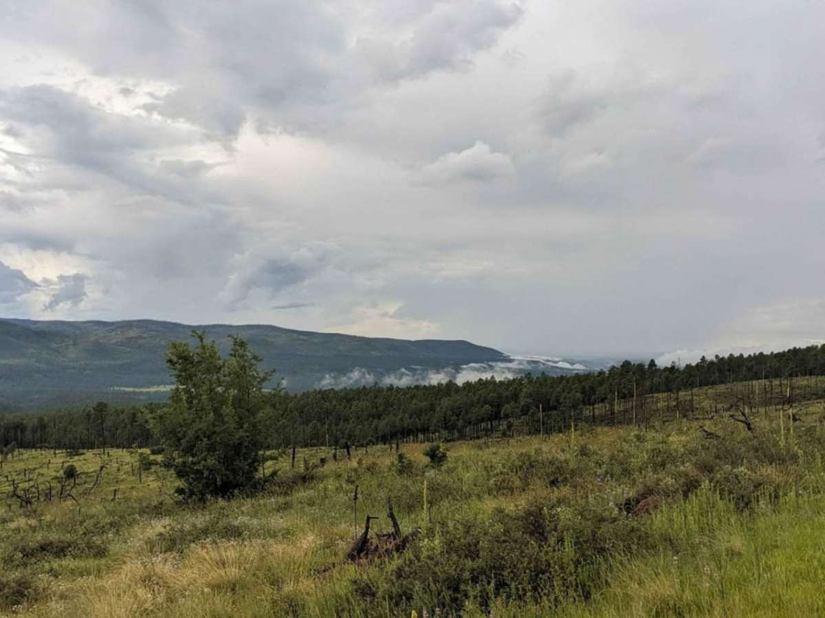
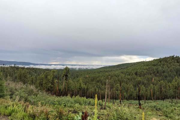
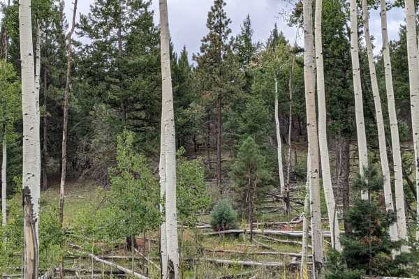
Middle Mountain Road is a 16.7-mile dirt route in the Apache-Sitgreaves National Forests near Alpine, Arizona. Connecting US Highway 191 to Forest Service Road 276, this beginner-friendly road winds through dense pine forests and high-country terrain. It features gentle grades with elevations ranging from 8,182 to 8,696 feet, and is generally passable for standard passenger vehicles in dry conditions.
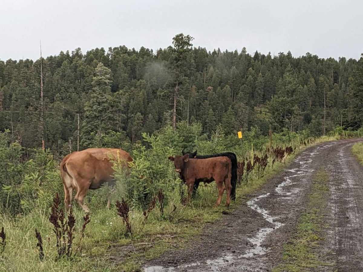
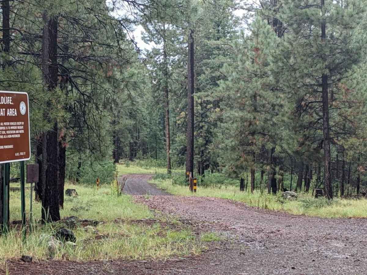
The corridor is popular for wildlife viewing, particularly elk and deer. The western terminus connects to the East Fork of the Black River and Diamond Rock Campground via Forest Service Road 276. Visitors must remain on the main road, as adjacent side roads lead into protected wildlife habitat areas that require written permits to enter.
Access Description
The road is managed by the Apache-Sitgreaves National Forests. High-clearance or four-wheel-drive vehicles are not required during dry conditions, but four-wheel drive is necessary when snow is present. Side roads bordering the route are designated wildlife habitat areas and require written permission to enter; these areas are marked with Wildlife Habitat Area signs.