Trail Overview
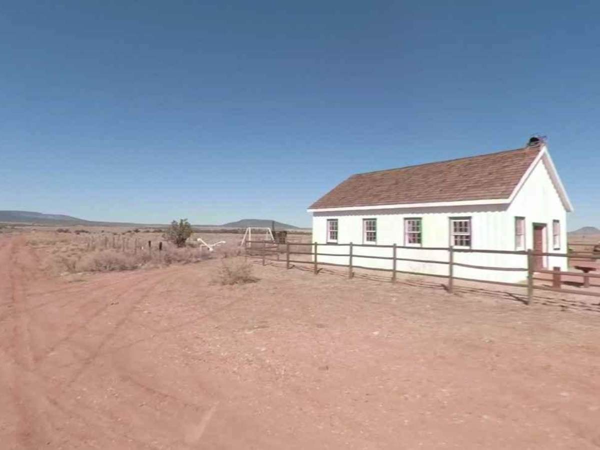
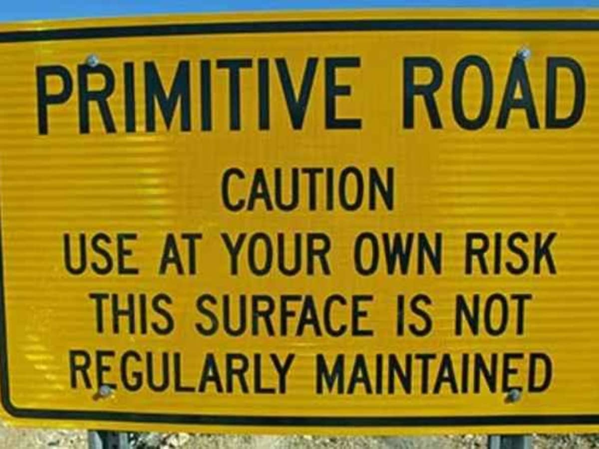
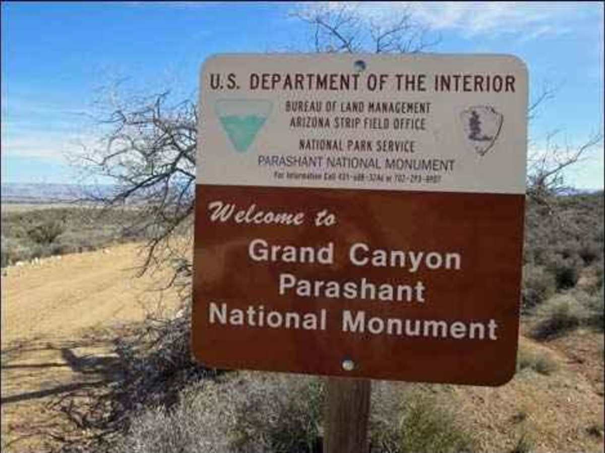
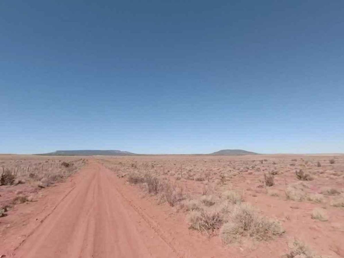
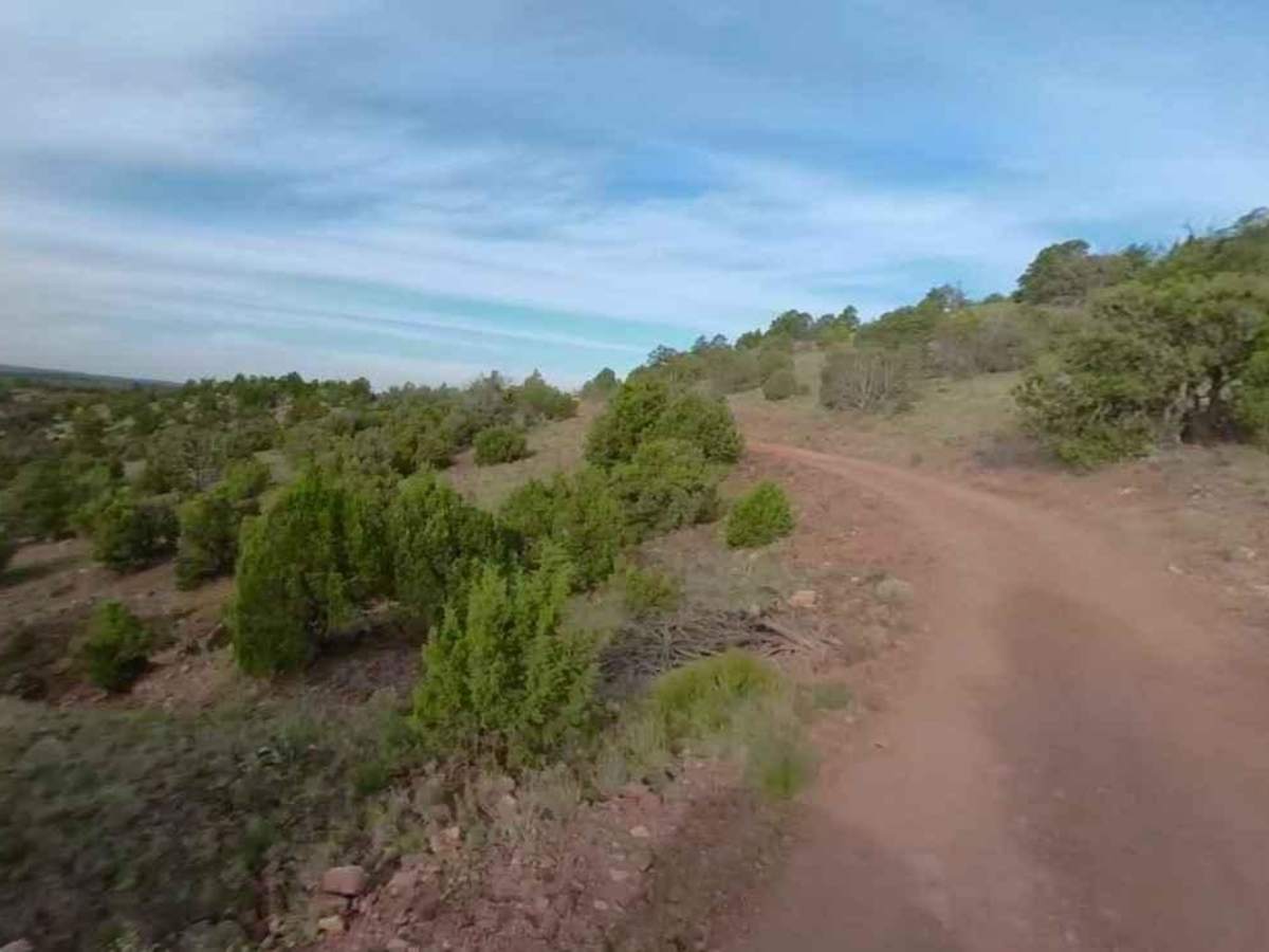
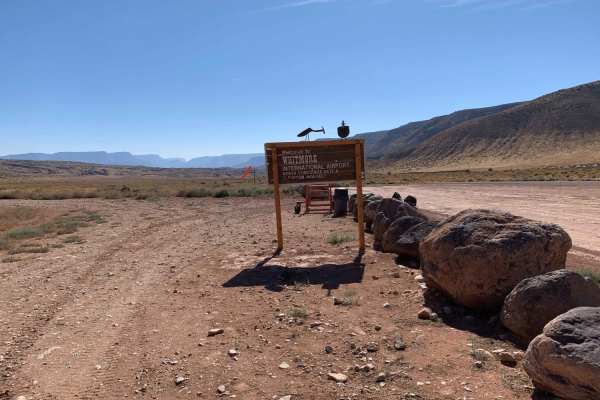
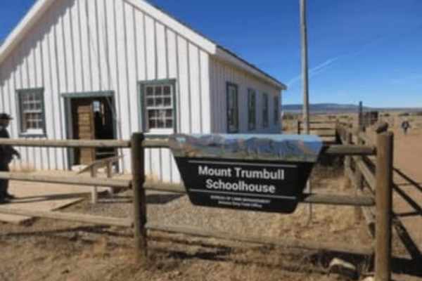
Agway Road-BLM1018 is an 18.3-mile point-to-point trail rated 2 of 10 located within the Grand Canyon Parashant National Monument. The trail is single track with plenty of places to pass oncoming traffic. Agway Road runs east-west, with the western end connecting to Mohave County Road 103 and the eastern end being the Trumbull Schoolhouse on Mohave County Road 5. Agway Road transits the south side of Poverty Mountain. At the intersection of Agway Road and County 103, there is a large OHV parking area for vehicles and trailers. The western half of the trail runs through pinyon pines and scrub and the trail is rocky and narrow in places. Continuing east, the trail drops into a large high desert plain, much of which is leased out by the BLM for cattle grazing. Here, the trail smooths out some and will parallel cattle fences separating the various grazing lots. Agway Road is one of the major access routes from Interstate 15 to the north rim of the Grand Canyon overlooks of Twin Point, Kelly Point, Whitmore Camp, and Toroweap. This area of the National Monument is very remote. There are no services of any type and a vehicle recovery can cost upwards of $3,000.