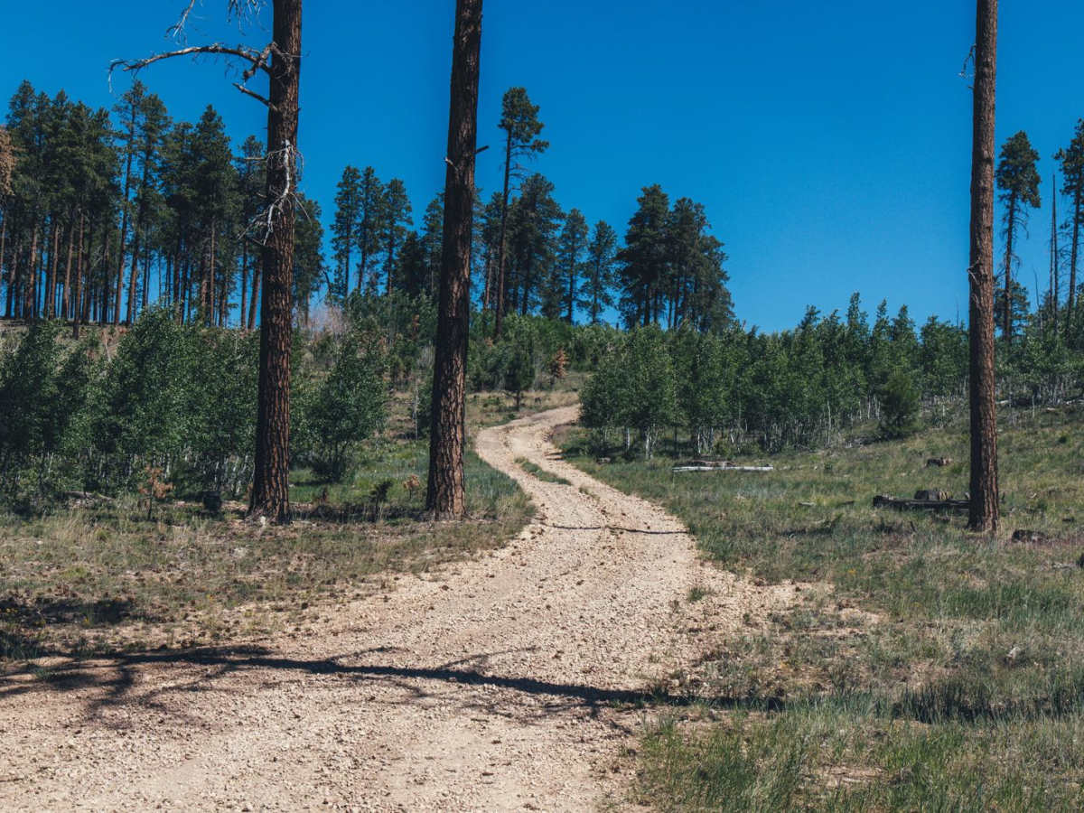
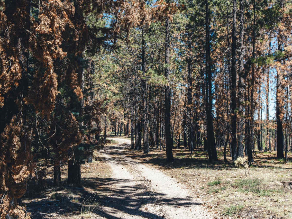
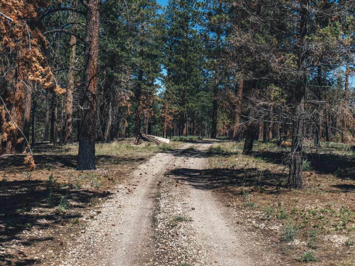
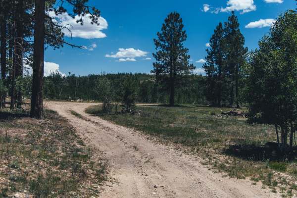
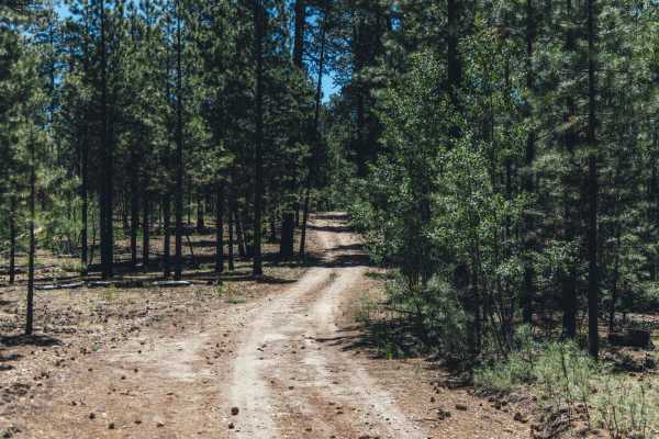
Trail Overview
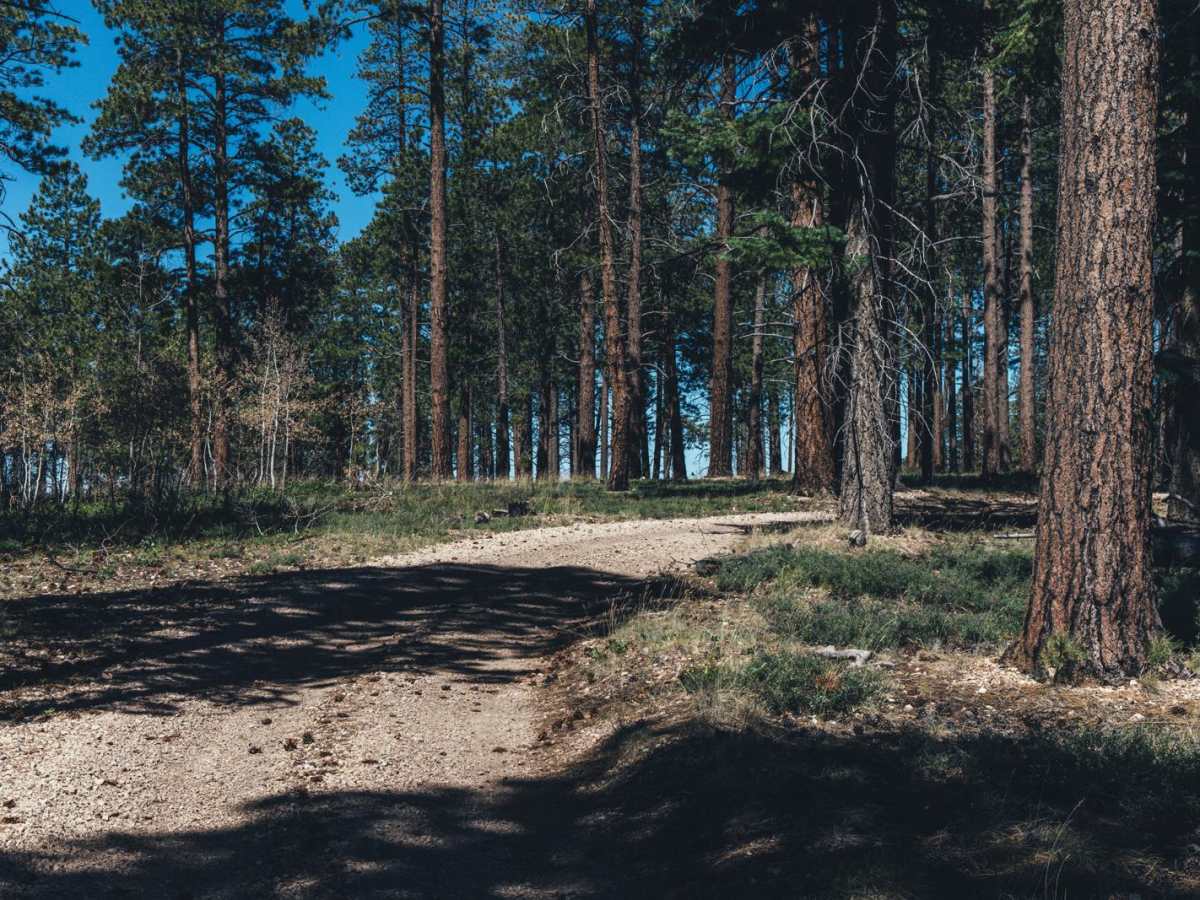
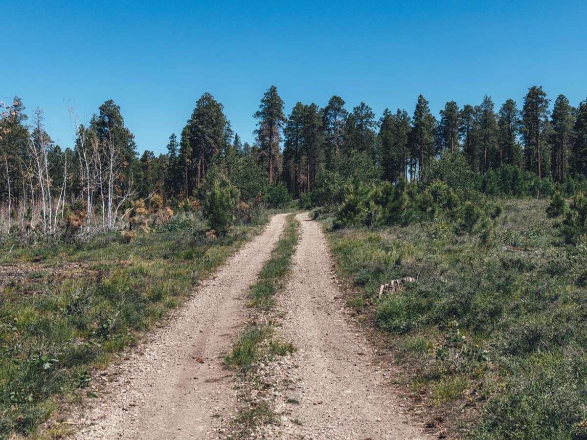
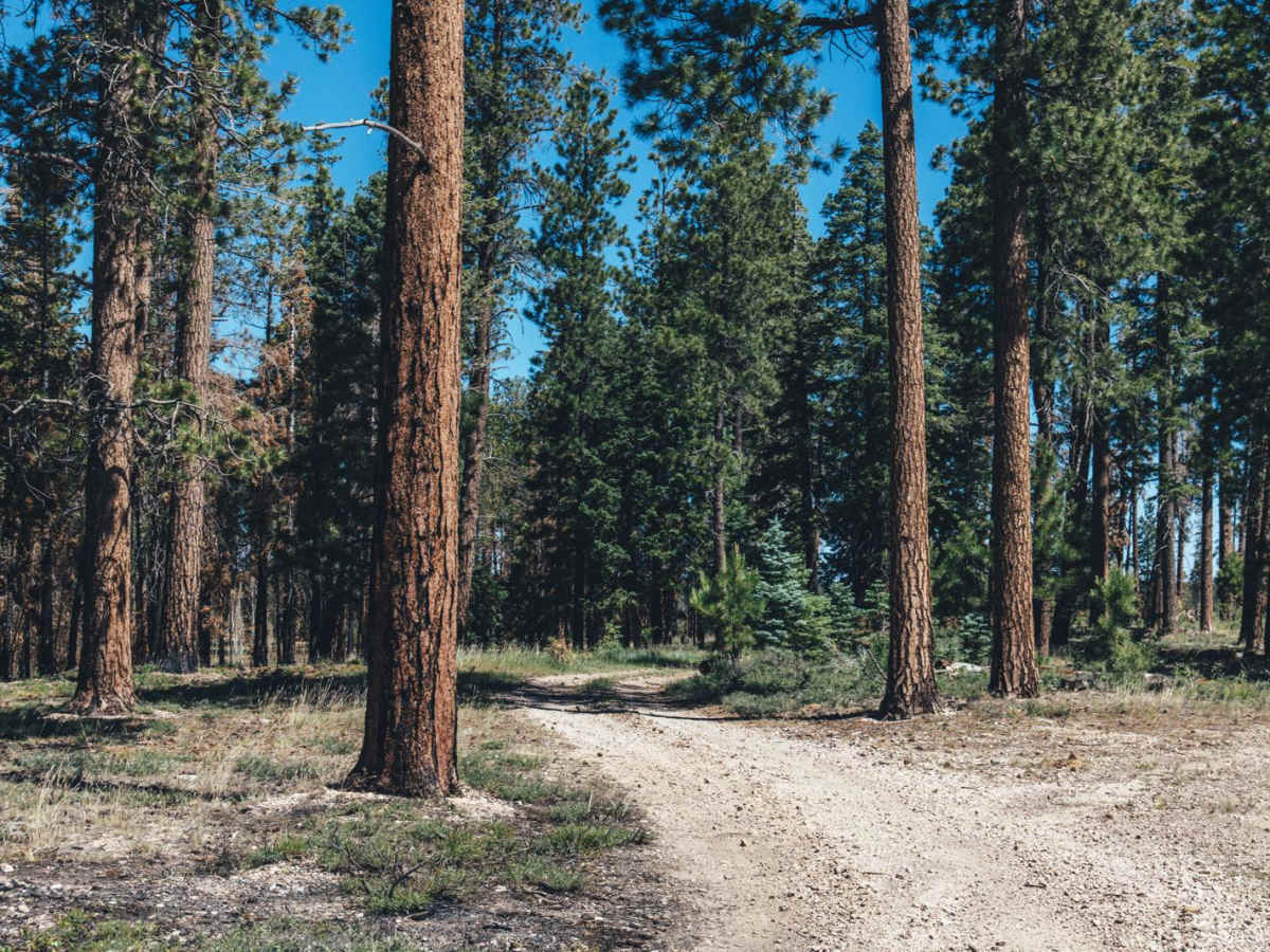
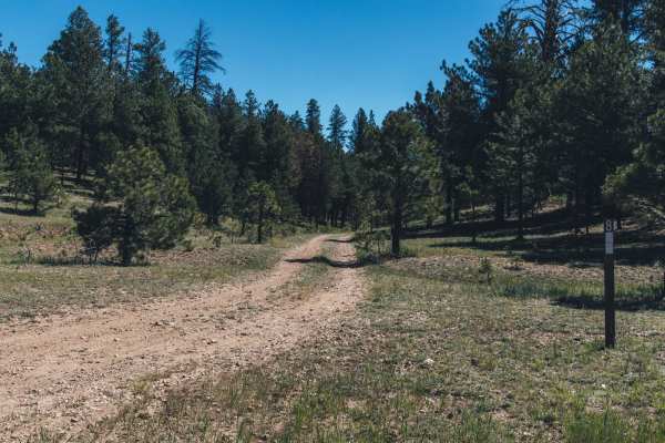
The Burned Hill is an easily accessible trail with an entrance right off of Arizona Highway 67. It starts with a hill climb up loose rocks to the top of the hill and into the burned forest of old ponderosa pine trees. The entire hill burned in a recent wildfire, so it's no surprise to see the charred remains of trees and stumps along your journey. There are no obstacles on this trail, but also no cell service, so offline maps are recommended. You'll follow the trail down a hill and into a beautiful, thriving meadow surrounded by pine. There are sporadic dirt "whoops" in the meadow, so paying attention is key to not damaging your vehicle on one of these seemingly innocuous berms. This trail connects to the 811 trail to the north. There are no campsites along this trail, but in the meadow, there are remnants of an old corral which might be fun to explore.
Difficulty
This is an unmaintained trail with the majority of it being dirt. There are no major obstacles, but it is one lane, with few places to pass. The recent burn scar might assist in water runoff and erosion should this trail be run during monsoon season or after a rain event.