Bruce moxley
Dec 29, 2025
Obstructed
Downed Tree
Trail is blocked by tree and barricades in two locations at rough Creek
fr
Dec 27, 2025
Temporarily Closed
Gate locked
Jon
Dec 07, 2025
2015 Toyota Tundra
Open
Muddy/WetRough/Deteriorated
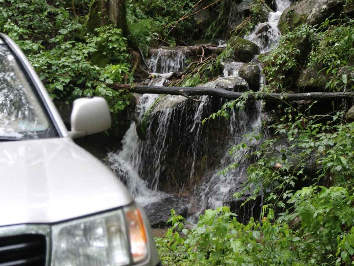
Charlie Creek is super wet and muddy. We went east to west and the washout after the 2nd water crossing was impossible without a locker. Its super slick and soft.
Michael Stephanos
Dec 07, 2025
2020 Jeep Gladiator
Temporarily Closed
Posted Sign
Trail is closed near Johnson branch can’t get through
Sajid Khan
Dec 06, 2025
Open
Muddy/Wet
We got stuck in the mud on 32C. We had to use the recovery board to pass through that section.
Jacob Edmond
Nov 23, 2025
2022 Ford Ranger
Open
NormalMuddy/WetRough/Deteriorated
Mike Lillo
Oct 25, 2025
2023 Toyota 4Runner
Open
Muddy/Wet
Ran the Charles Creek trail from Tallulah River Trail (FR-70) to SR 76. Trail was open and in great shape for the most part. There were a few obstacles that I didn’t get photos of but they were easy to navigate with the proper line. The first water crossing was nice because there was a little length to it but the next one was really short, maybe two car lengths. Overall this trail was quite a fun experience with my son and we are looking forward to going back for some other sections.
Doug Stokes
Oct 11, 2025
2021 Jeep Gladiator
Temporarily Closed
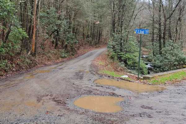
We approached from the west running the loop clockwise. Road closed signs are posted, however we were curious to assess do we proceeded to the Rough Creek crossing. Concrete barricades had been placed but moved aside to allow traffic to cross. The creek is passable by moto and high clearance 4x4, however upon proceeding up the trail 200 more yards there is another barricade and large tree trunk placed in the trail to prevent all but moto traffic. Disappointed we didn’t have the option to finish the loop (I drove down from Nashville to enjoy this trail) so we backtracked to Ocoee and left the loop and opted to visit the Bigfoot Museum in Blue Ridge.
Daniel McNeely
Oct 11, 2025
Temporarily Closed
Concrete barriers across trail before rough creek bridge.
T R
Sep 25, 2025
2022 Rivian R1T
Obstructed
Downed Tree
Downed tree around Sosebee cove, right before the summit of wolfpen gap, heading southbound. Had to turn around and head back towards sunshine grocery.
Cameron Cody
Sep 20, 2025
Temporarily Closed
Currently a giant tree is fallen on the road and concrete blocks have been put up. Do not know when it will be removed.
Steven R
Sep 08, 2025
Obstructed
Downed Tree
Downed tree @ 34.96595, -83.50742 - Ran this length of the trail in a 07 4runner, 3" suspension lift, 1" body lift, high clearance recommended in this leg of the trail.
Nelson A
Sep 06, 2025
2024 Toyota 4Runner
Open
Muddy/Wet
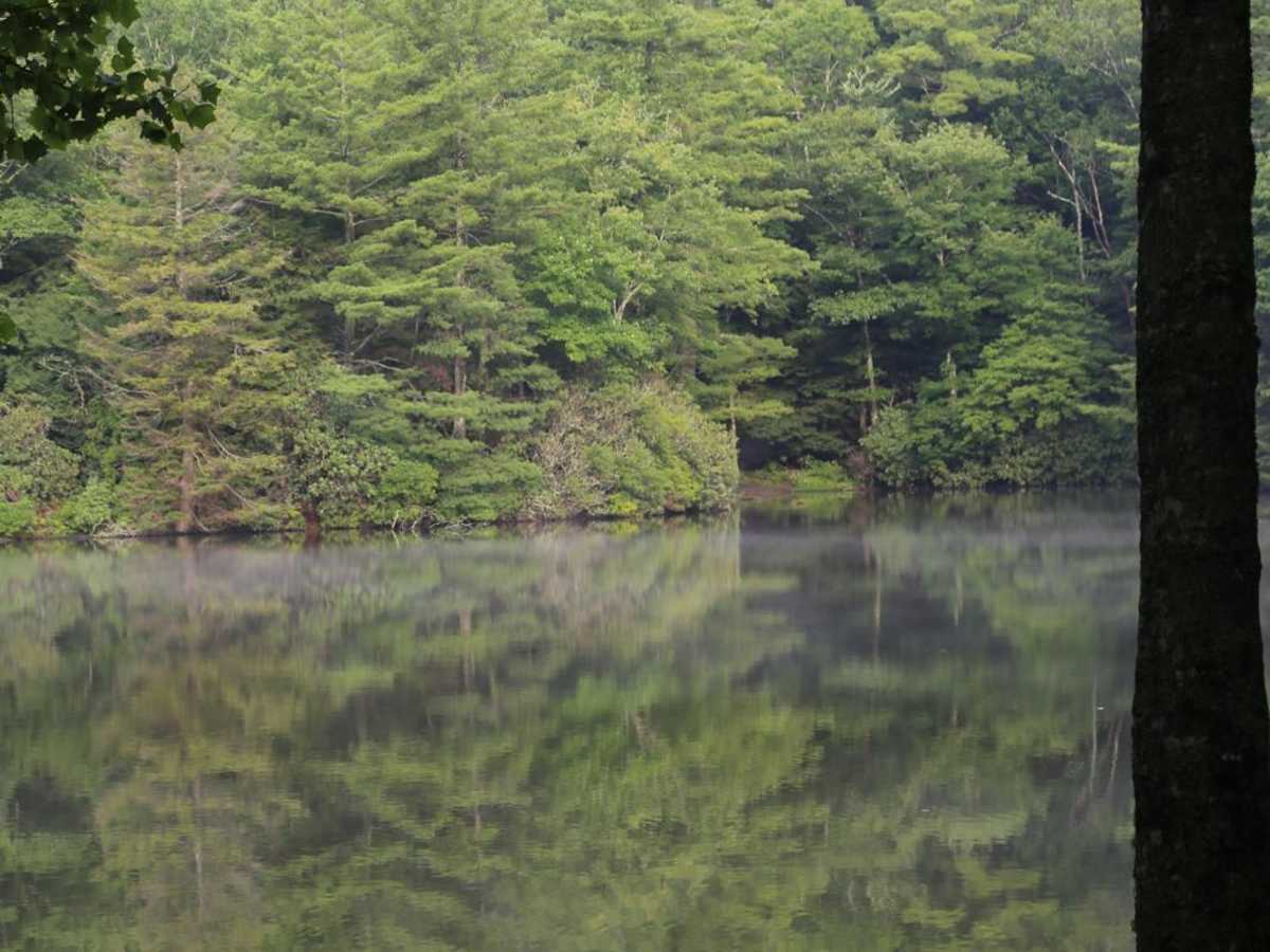
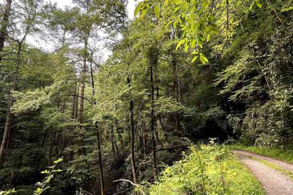
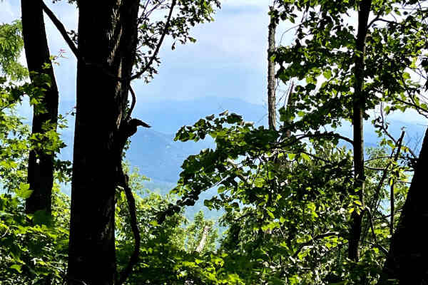
Ran this trail in my stock 2024 4Runner ORP with KO2s & did not air down. Trail was very muddy with slick rocks & some water runoff crossing. Nothing too tricky, but traction can be tricky on climbs when wet. The forest scenery in the rain is awesome! Lots of green & everything glowing green. I’m a newbie, so my wife and I had a blast on what I would consider moderate for a beginner like myself. I recommend a good set of tires at the VERY least if you’re running this.
Ryan Forbus
Sep 01, 2025
Obstructed
Washout
Trail closed at Rough Creek. Trail/bridge washed out and blocked off with concrete barricades. Does not look like much activity as far as repairs goes. Plan accordingly, no bypass possible.
Justin Gee
Aug 30, 2025
2023 Toyota 4Runner
Open