
Off-Road Trails
Near Nittany, Pennsylvania
Off-Road Trails Near Nittany, Pennsylvania
Discover the best offroad trails near you. Browse trail maps, check difficulty ratings, and find your next adventure — whether you're looking for a quick ride or an all-day expedition.
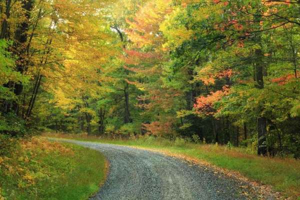
Rag Valley Road
Rag Valley Road is a nice gravel and dirt road that connects Mackeyville to Fire Tower Road in Clinton County. It is an easy trail in the spring, summer, and fall. The difficulty increases in the winter, as there is no winter maintenance on this trail. The trail is a gradual climb up the side of the...
Learn more about Rag Valley Road
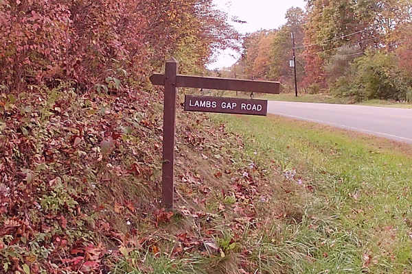
Lamb Gap Trail
This trail is within the Bald Eagle State Forest. It is State game land for hunting, and is gated during the off-season. It is a graded Gravel road with some turns and small slopes. There are a few small parking lots along the trail. It is a mix of pines and big timber. This trail is an out-and-back...
Learn more about Lamb Gap Trail
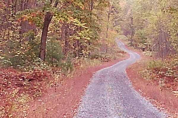
Hancock Road
This trail is open for hunting season 9/18/25 to 1/26/26. It is on State game land, and when out of hunting season, it is gated. It is a simple, graded gravel road within Bald Eagle State Forest. It is an out-and-back type of trail. It has a few parking lots along this trail. There are pine trees an...
Learn more about Hancock Road
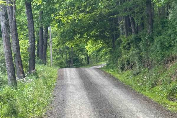
Greens Run Road
Greens Run Road is primarily a graded gravel road. It is an easy ride in the summer months; however, there is no winter maintenance. During times of rain, snow, and ice, the road can become rutted and harder to travel on. Greens Run Road is just south of Sproul State Forest. There are numerous spots...
Learn more about Greens Run Road
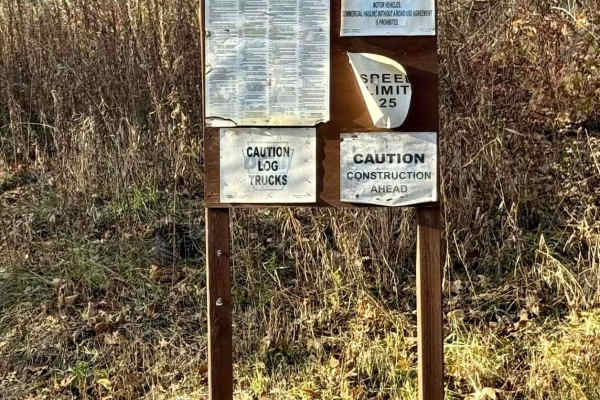
Beech Creek Road
Beech Creek Road is a graded gravel road. It is an easy ride in the summer months, however there is no winter maintenance. During times of rain, snow, and ice the road will become harder to travel on. Beech Creek Road is within Sproul State Forest. Beech Creek Road is the main road to access all the...
Learn more about Beech Creek Road
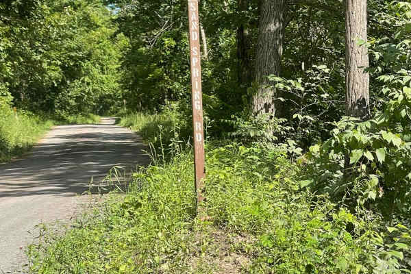
Sand Spring Road
Sand Spring Road is a bumpy and rutted dirt road that ends on private property. It is an out-and-back trail that cuts through the woods. There is plenty of room to turn around at the end. In the winter and spring, the road is pretty gnarly, but during the dry summer months, the road is quite a bit e...
Learn more about Sand Spring Road
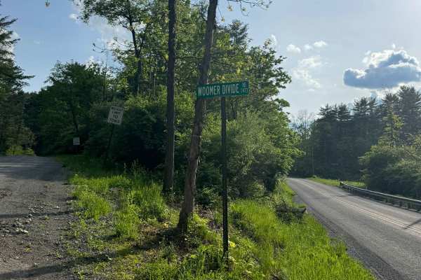
Woomers Divide Road
Woomers Divide Road is primarily a graded gravel road. It is an easy ride in the summer months; however, there is no winter maintenance. During times of rain, snow, and ice, the road can become rutted and harder to travel on. Woomers Divide Road is just south of Sproul State Forest. There are numero...
Learn more about Woomers Divide Road
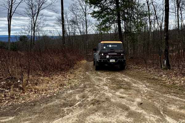
Bartley Hollow Road
Bartley Hollow Road is primarily an ungraded dirt trail. It is classified as a PA Drivable Trail by the DCNR. It is a moderate ride in the summer months; however, there is no maintenance at all on this trail. During times of rain, snow, and ice, the trail can become heavily rutted and extremely hard...
Learn more about Bartley Hollow Road
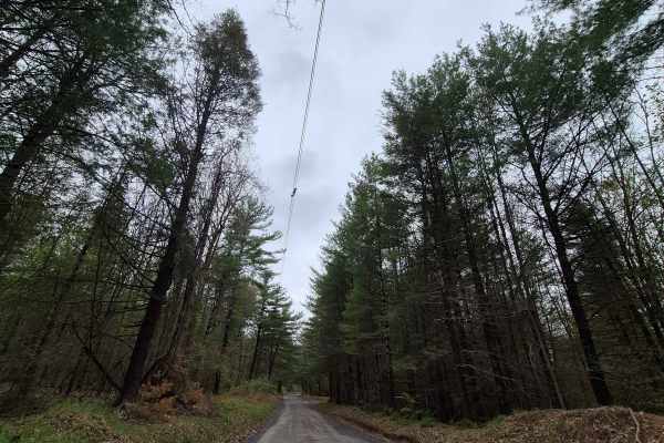
Siglerville-Millheim Pike
Siglerville-Milheim Pike provides access into Bald Eagle State Forest from the west. It crosses Penn's Creek as a paved road and then turns into gravel as you continue up the hill. After passing through Greenbrier Gap, the road continues up the hill, eventually becoming Mountain Church Road. Ther...
Learn more about Siglerville-Millheim Pike
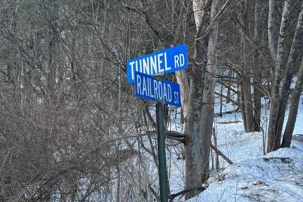
Tunnel Road
Tunnel Road is primarily a graded gravel road. It is an easy ride in the summer months; however, there is no winter maintenance. During times of rain, snow, and ice, the road can become rutted and harder to travel on. Tunnel Road is within Bald Eagle State Forest and runs along Penns Creek. There ar...
Learn more about Tunnel Road
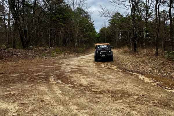
Slide Hollow Trail
Slide Hollow Trail is a dead-end, ungraded dirt trail. It ends on the east on private property and at the intersection of private roads. It is classified as a PA Drivable Trail by the DCNR. It is a moderate ride in the summer months; however, there is no maintenance at all on this trail. During time...
Learn more about Slide Hollow Trail
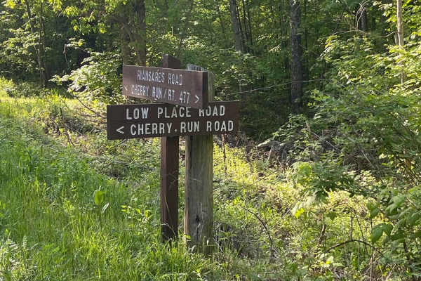
Low Place Road
Low Place Road is a nice and easy graded gravel road that connects Cherry Run Road on the south to Fire Tower Road on the north. The travel is flat and level. There is no winter maintenance on this road, so travel with caution during the winter months due to snow and ice.
Learn more about Low Place Road
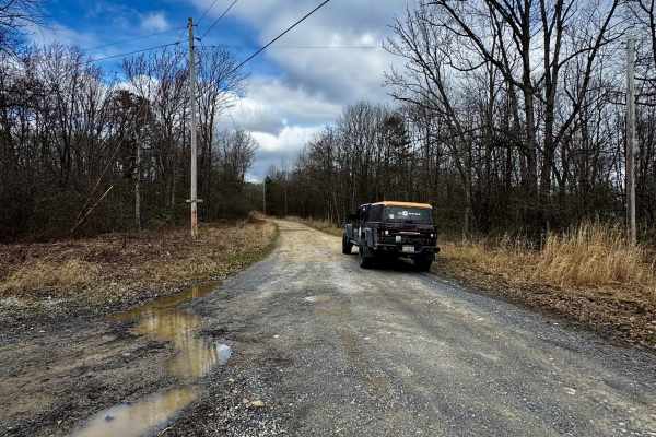
Salt Lick Trail
Salt Lick Trail is primarily a dead-end, ungraded dirt trail. It is classified as a PA Drivable Trail by the DCNR. It is a moderate ride in the summer months; however, there is no maintenance at all on this trail. During times of rain, snow, and ice, the trail can become heavily rutted and extremely...
Learn more about Salt Lick Trail
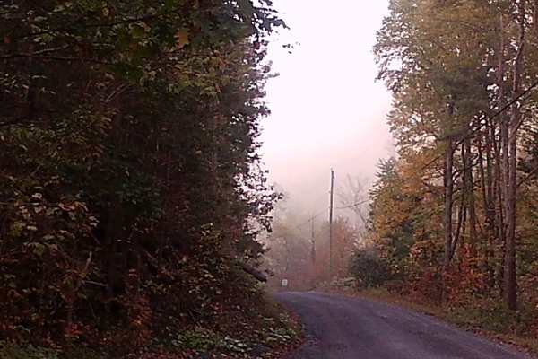
Lingle Valley Road
This graded gravel road runs through Bald Eagle State Forest, featuring gentle hills and the winding layout typical of forest roads. It is a point-to-point route with several camps and residences along the way. Wildlife such as wild turkeys are commonly seen in the area. The road is easily accessibl...
Learn more about Lingle Valley Road
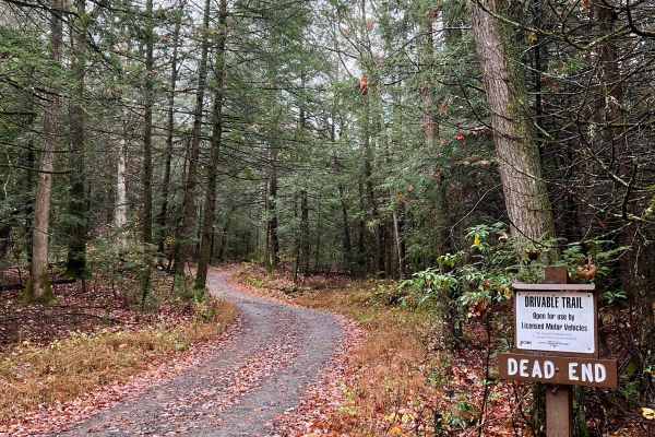
Pepper Run Road
This is an out-and-back trail along the base of Riansares Mountain. There are no real points of interest along the trail. It's a scenic, wooded track that's a bit less technical than the majority of what the Pennsylvania Department of Conservation of Natural Resources calls "drivable trails." Be awa...
Learn more about Pepper Run Road
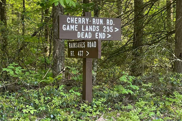
Cherry Run Road
Cherry Run Road is a nice and easy gravel road that dead-ends on State Game Lands. There is also a gate that may be closed in non-Pennsylvania hunting seasons that is about two-thirds of the way down the trail. There is a very large parking area at the gate, so turning around is a breeze. The travel...
Learn more about Cherry Run Road
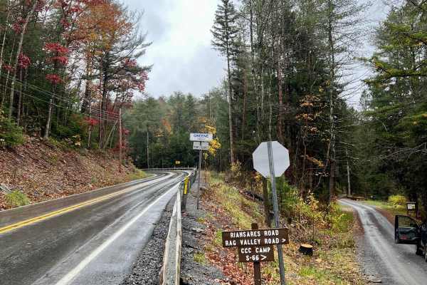
Firetower Road
This trail ascends to the peak of Riansares Mountain, 2,310 feet, before returning to the level of the surrounding area. There is a vista near the peak of the mountain and several radio/communication towers to be seen. Otherwise, it's a relaxing wooded drive that can be accessed by pretty much any s...
Learn more about Firetower Road
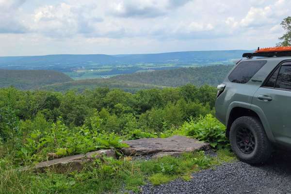
Mnt Church
The Mnt Church Trail runs east to west through Bald Eagle State Forest in Pennsylvania. This trail makes for a scenic drive that takes you to the top of Big Poe Mountain. Mnt Church passes by several hiking trailheads and one of the most beautiful vistas in Bald Eagle State Forest. There's one motor...
Learn more about Mnt Church
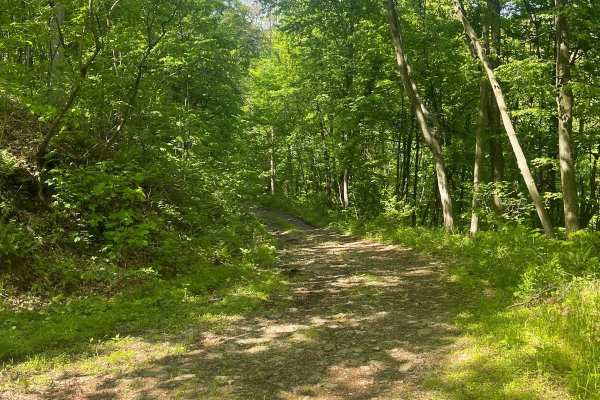
Graham Road
Graham Road is a rough forestry road that follows the West Branch Susquehanna River. Many trails leave Graham Road and provide many looping opportunities. Trails such as Twin Springs, Dark Hollow, and Oak Ridge offer challenging riding and great scenic vistas. There is no winter maintenance on this ...
Learn more about Graham Road
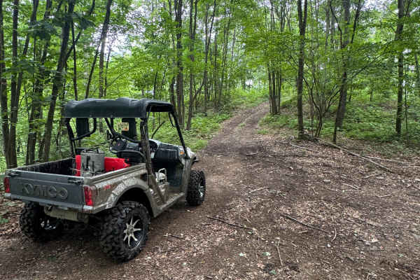
Trail 76
Trail 76 is a dead-end, ungraded, narrow dirt trail. It is part of the PA DCNR Bloody Skillet ATV Trail System located within Sproul State Forest. The trail system is open for use year-round except for being closed for two months during the spring fire season and in the fall for hunting season. Plea...
Learn more about Trail 76
ATV trails near Nittany, Pennsylvania
Explore ATV-friendly trails near you. These trails are accessible for vehicles up to 50 inches wide, perfect for ATVs and smaller off-road machines.
Trail 76
Trail 76 is a dead-end, ungraded, narrow dirt trail. It is part of the PA DCNR Bloody Skillet ATV Trail System located within Sproul State Forest. The trail system is open for use year-round except for being closed for two months during the spring fire season and in the fall for hunting season. Plea...
Learn more about Trail 76
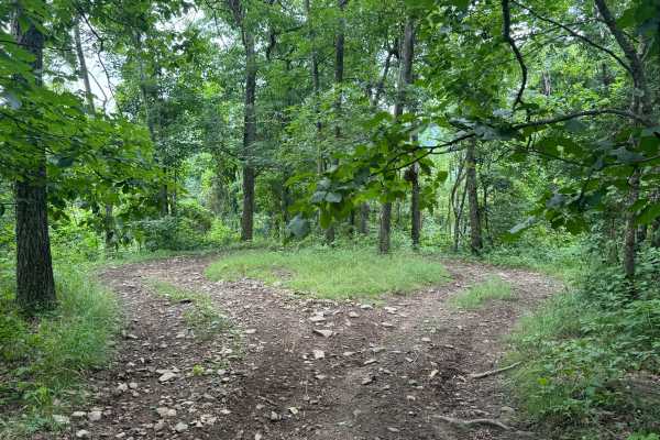
Trail 77
Trail 77 is an ungraded, narrow dirt trail. It is part of the PA DCNR Bloody Skillet ATV Trail System located within Sproul State Forest. The trail system is open for use year-round except for being closed for two months during the spring fire season and in the fall for hunting season. Please call t...
Learn more about Trail 77
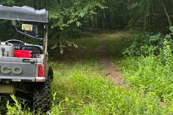
Trail 80
Trail 80 is an ungraded, narrow dirt trail. It is part of the PA DCNR Bloody Skillet ATV Trail System located within Sproul State Forest. The trail system is open for use year-round except for being closed for two months during the spring fire season and in the fall for hunting season. Please call t...
Learn more about Trail 80
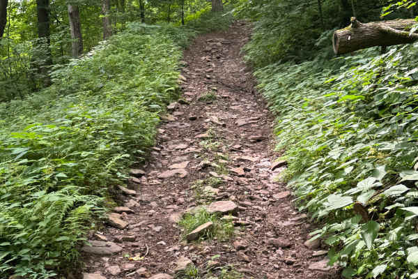
Trail 74
Trail 74 is an ungraded, narrow dirt trail. It is part of the PA DCNR Bloody Skillet ATV Trail System located within Sproul State Forest. The trail system is open for use year-round except for being closed for two months during the spring fire season and in the fall for hunting season. Please call t...
Learn more about Trail 74
UTV/side-by-side trails near Nittany, Pennsylvania
Find UTV and side-by-side trails near you. These trails accommodate vehicles up to 60 inches wide, ideal for UTVs, side-by-sides, and wider off-road rigs.
Trail 76
Trail 76 is a dead-end, ungraded, narrow dirt trail. It is part of the PA DCNR Bloody Skillet ATV Trail System located within Sproul State Forest. The trail system is open for use year-round except for being closed for two months during the spring fire season and in the fall for hunting season. Plea...
Learn more about Trail 76
Trail 77
Trail 77 is an ungraded, narrow dirt trail. It is part of the PA DCNR Bloody Skillet ATV Trail System located within Sproul State Forest. The trail system is open for use year-round except for being closed for two months during the spring fire season and in the fall for hunting season. Please call t...
Learn more about Trail 77
Trail 80
Trail 80 is an ungraded, narrow dirt trail. It is part of the PA DCNR Bloody Skillet ATV Trail System located within Sproul State Forest. The trail system is open for use year-round except for being closed for two months during the spring fire season and in the fall for hunting season. Please call t...
Learn more about Trail 80
Trail 74
Trail 74 is an ungraded, narrow dirt trail. It is part of the PA DCNR Bloody Skillet ATV Trail System located within Sproul State Forest. The trail system is open for use year-round except for being closed for two months during the spring fire season and in the fall for hunting season. Please call t...
Learn more about Trail 74
The onX Offroad Difference
onX Offroad combines trail photos, descriptions, difficulty ratings, width restrictions, seasonality, and more in a user-friendly interface. Available on all devices, with offline access and full compatibility with CarPlay and Android Auto. Discover what you're missing today!
Open Trail Map