Trail Overview
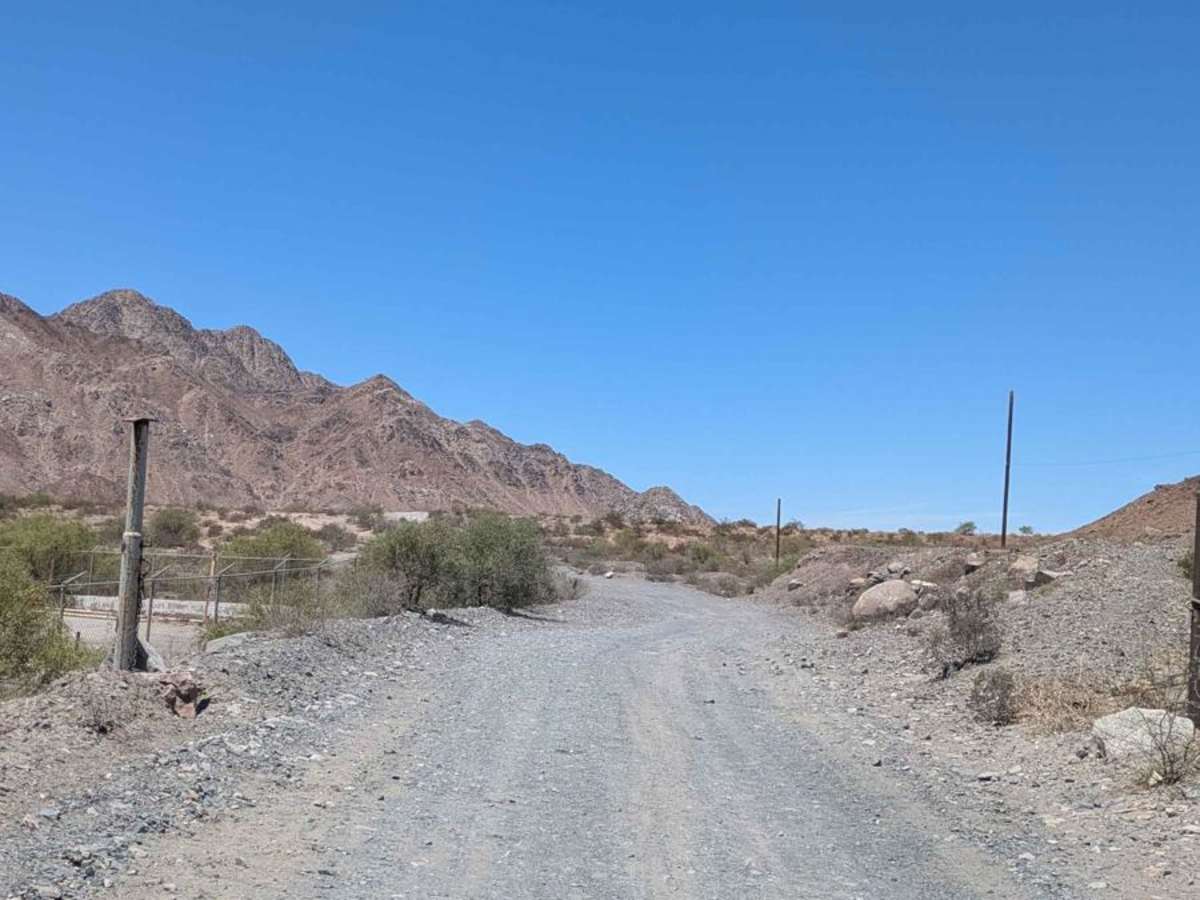
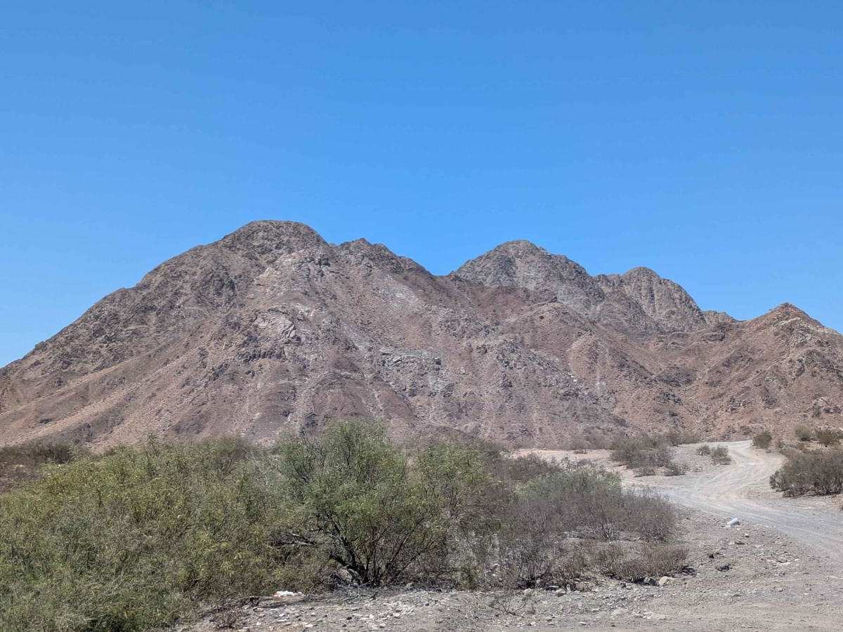
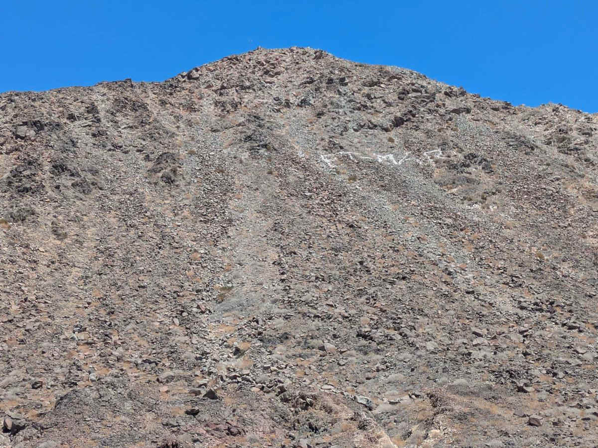
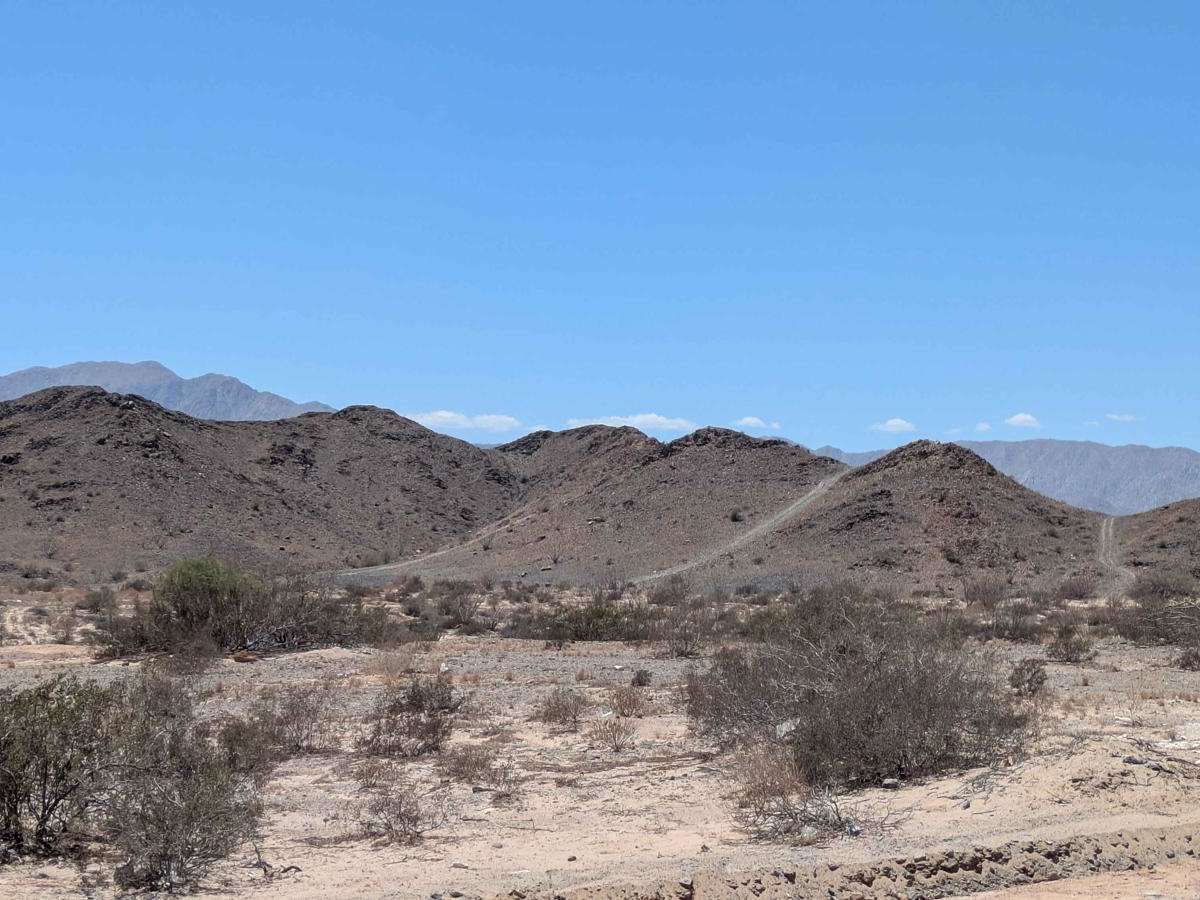
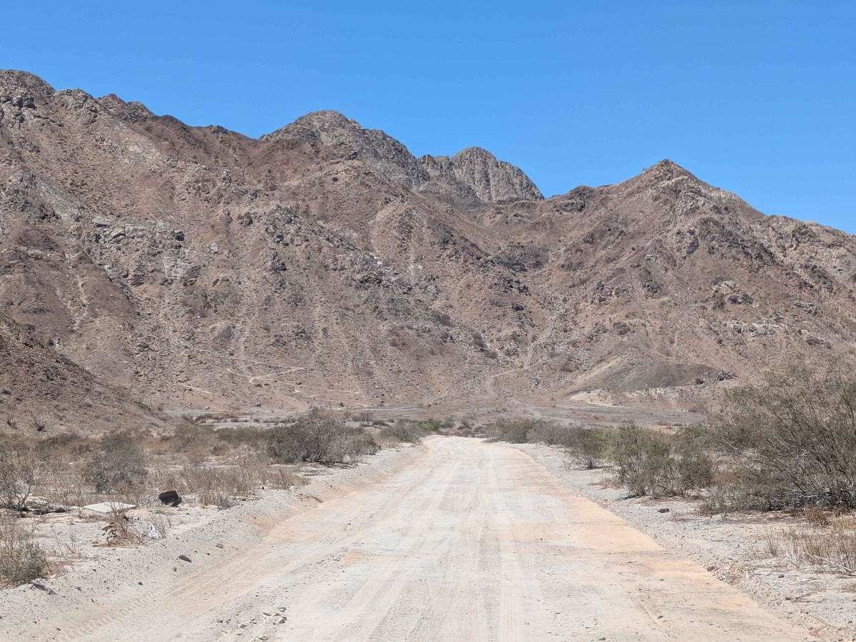
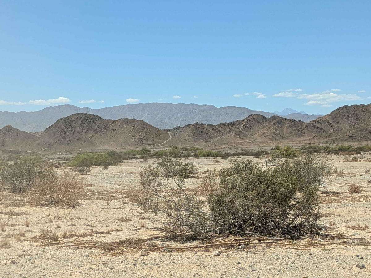
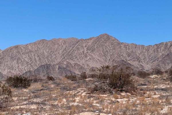
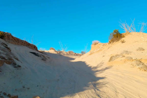
The El Machorro Descent off-road trail skirts the rugged base of Cerro El Machorro, offering adventurous drivers a diverse mix of terrain and stunning vistas. Departing from San Felipe, the first section of the trail has been recently graded, providing a smooth and easy start. As the route progresses, the second half becomes more technical, with a variety of embedded rocks and uneven surfaces--some of which may be sharp and require careful tire placement. The final segment is a challenging downhill stretch that is rough, heavily uneven, and off-camber, demanding high-clearance vehicles and confident driving skills. Throughout the journey, the trail rewards travelers with sweeping views of the Sea of Cortez and the San Felipe Bay. The route culminates at a secluded, hidden beach--an ideal spot to rest and enjoy the coastal serenity.
Difficulty
While the beginning is accessible to most off-road vehicles, the latter sections--especially the rocky middle and the final off-camber descent--require a capable 4WD vehicle with good clearance and experienced driving. Not recommended for stock crossovers or inexperienced drivers. While most of the trail is 1 or 2, the last section is 3.