Calamajue Canyon Trail

Total Miles 28.4
Technical Rating
3 Easy
Best Time Spring, Fall, Winter
Trail Type High-Clearance 4x4 Trail
Accessible By
Open Trail Map

Trail Overview

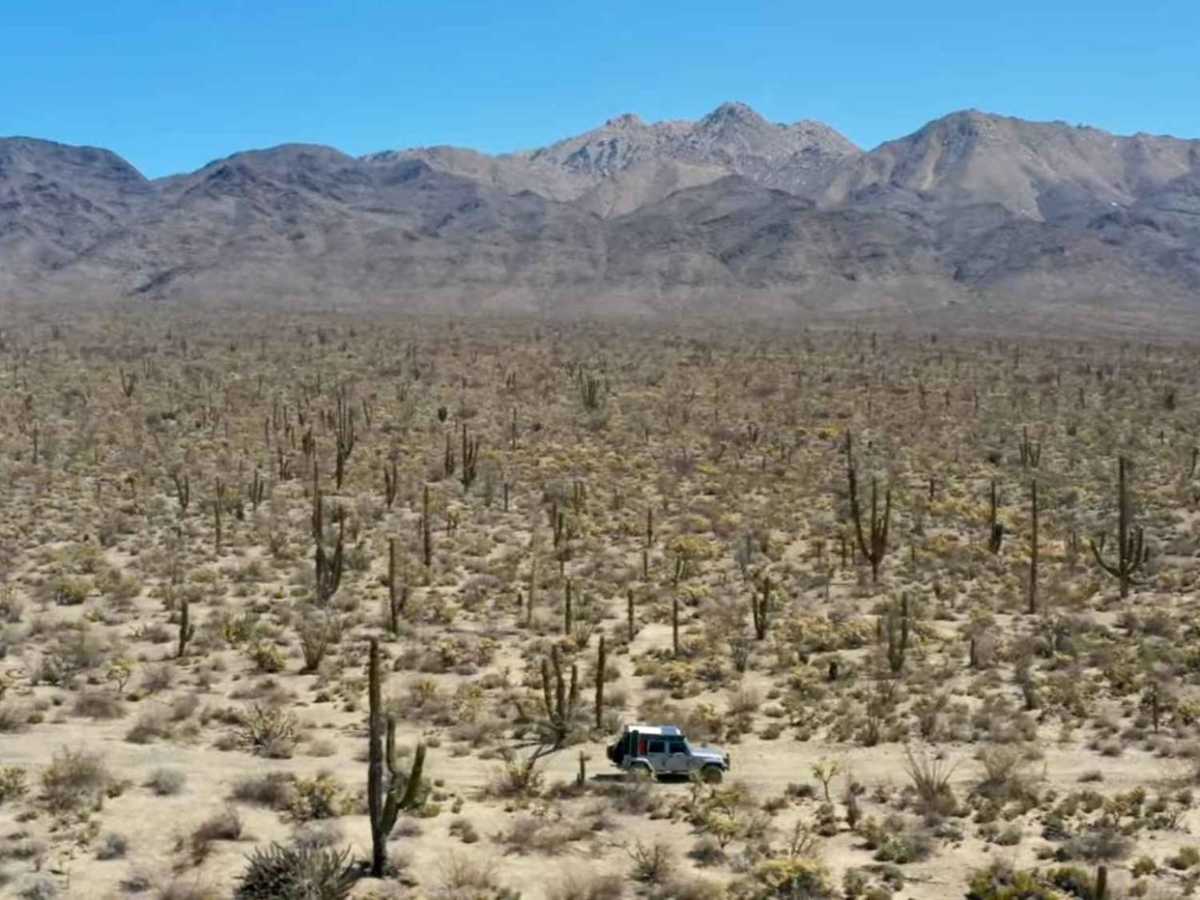
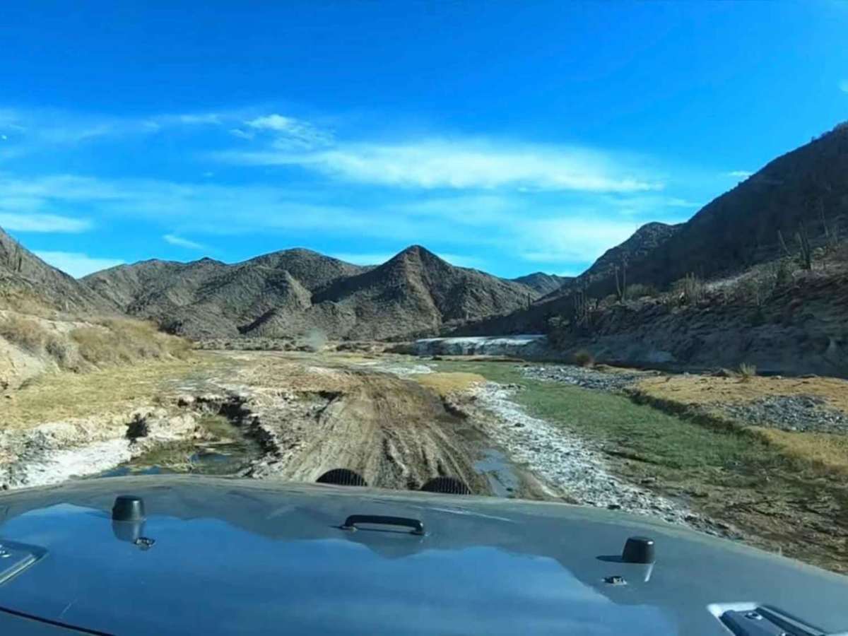
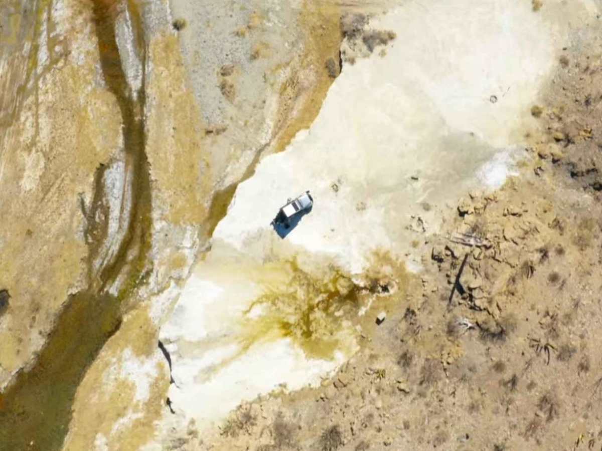
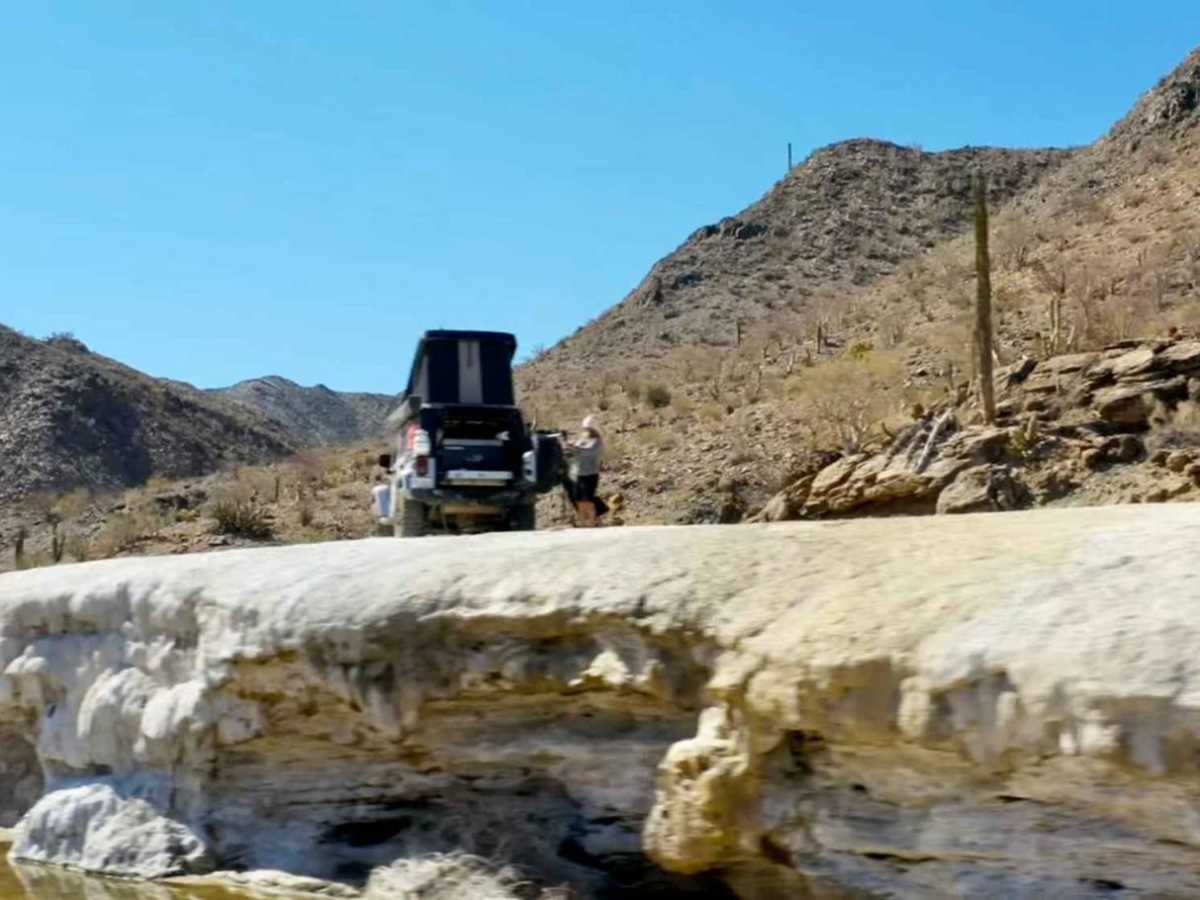
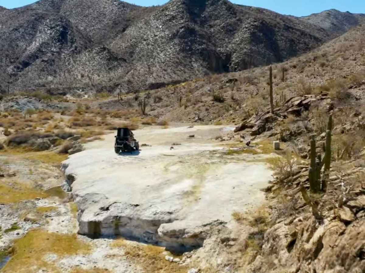
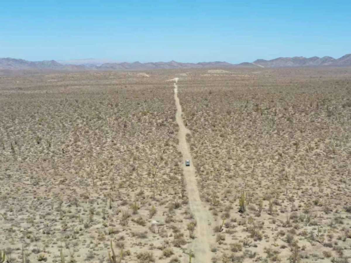
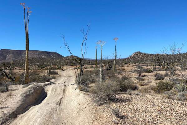
As one embarks on the desert trail, commencing at the once-known intersection of Cocos Corner, the initial path reveals itself as a rugged and narrow dirt road that accommodates only a single vehicle at a time. Upon taking a right turn, the trail unveils an increasingly picturesque landscape, with a highlight being a raised area approximately one hour into the journey, boasting a small spring of water emerging from white rock. This serene spot provides an excellent location for camping, offering some shelter from the wind and positioned above the wash. As the trail continues, it meanders through a wash, leading to a tropical section adorned with verdant palm trees and greenery that is not commonly observed in a desert environment. It is essential to exercise caution when traversing the deep sandy ruts in this area, especially if the vehicle has less than 2 inches of lift and 35-inch tires. Eventually, the trail ascends from the tropical area, returning one to the arid desert terrain, followed by a lengthy stretch of flat road that eventually leads back to the 5.

Photos of Calamajue Canyon Trail

Difficulty

While in the wash and coming out of the wash you may find soft sand ruts that require a high clearance vehicle and 4x4. A 2" lift and 35" tires are more than adequate. Positioning the tires on the high areas can make up for lower clearance or smaller tires.

History

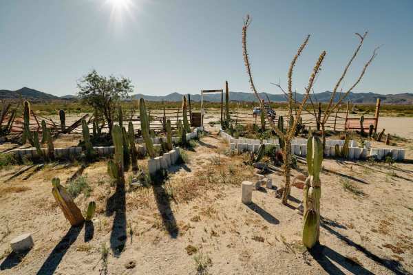
Coco's Corner was originally at this trailhead. Coco passed away in 2022 and was an ex-police officer that was handicapped and lived in this dusty corner away from the population. Except when the Baja 1000 came by annually and his corner became a popular stop for racers and race enthusiasts. He was known for his hospitality and free camping.

Technical Rating

3

Status Reports

Add Status Report
Pelle Fornberg
Feb 05, 2026
Open
Came from the north. The route is scenic and manageable by most vehicles till about mile 17 where you will find a deep, V-shaped wash. Side going down had secure holding and was generally level and solid. However, the way up the other side has been quite eroded by weather and vehicles. With steep off-camber and narrow areas, this 20-30 meter section seems more like a 4/10.
Robb Pope
Dec 27, 2025
Open
We ventured into this road as an interesting way to bypass a section of boring highway along the way to Bahia de Los Angeles and ended up spending multiple days in the mountains. This trail, if followed directly, talked you through a breathtaking canyon and through a variety of terrain. Nothing overly challenging for a lifted 4wd vehicle with low gear. There were a number of Sandy patches to be careful of not getting stuck in. Also, about halfway through the route there is a split. One way takes you through the canyon, the other road leads to some kind of beach all the way out on the coast. We ended up at the coast and camped there for the night. Be aware that it seems that locals have some kind of mining
ML Ladinig
Dec 27, 2023
Open
Ahsan Uddin
Dec 25, 2023
Open
The first and the last one third is fairly marked. The middle portion starting from the wash is unmarked and kinda easy to get lost. Follow the trail on OnX and you should be on the right track.
Chris Cordes
Nov 07, 2023
Open

Calamajue Canyon Trail Trail can be accessed by the following ride types:

  • High Clearance

Calamajue Canyon Trail Map

The onX Offroad Difference

onX Offroad combines trail photos, descriptions, difficulty ratings, width restrictions, seasonality, and more in a user-friendly interface. Available on all devices, with offline access and full compatibility with CarPlay and Android Auto. Discover what you're missing today!

Open Trail Map