Trail Overview
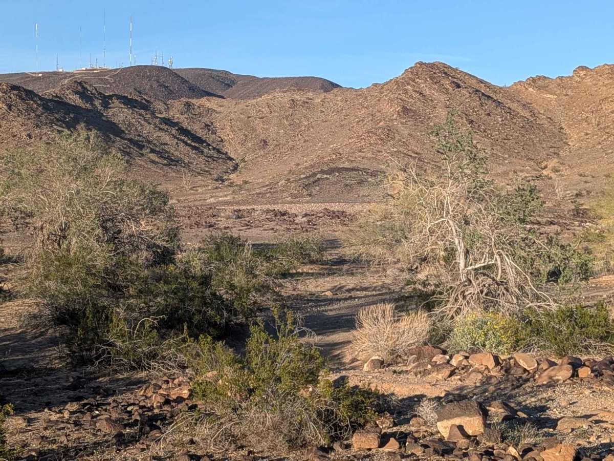
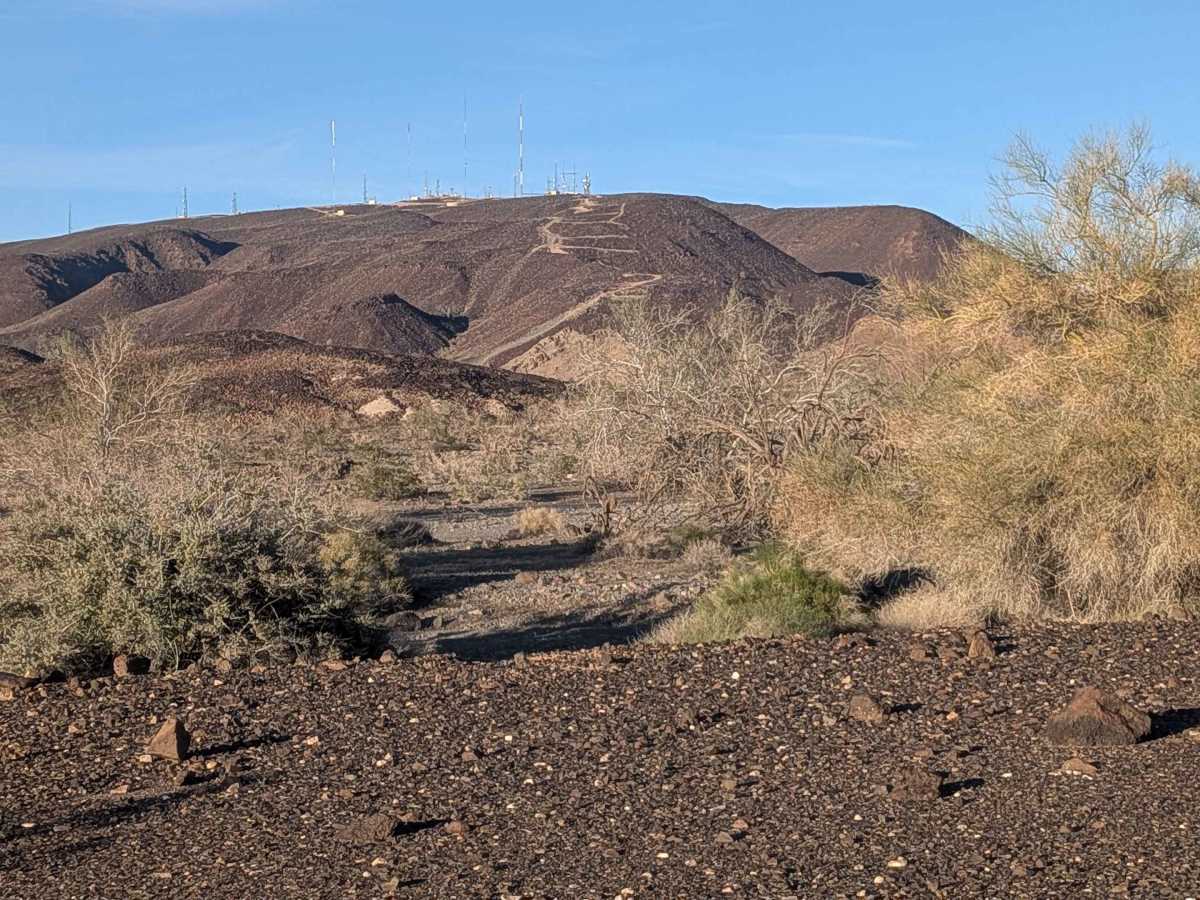
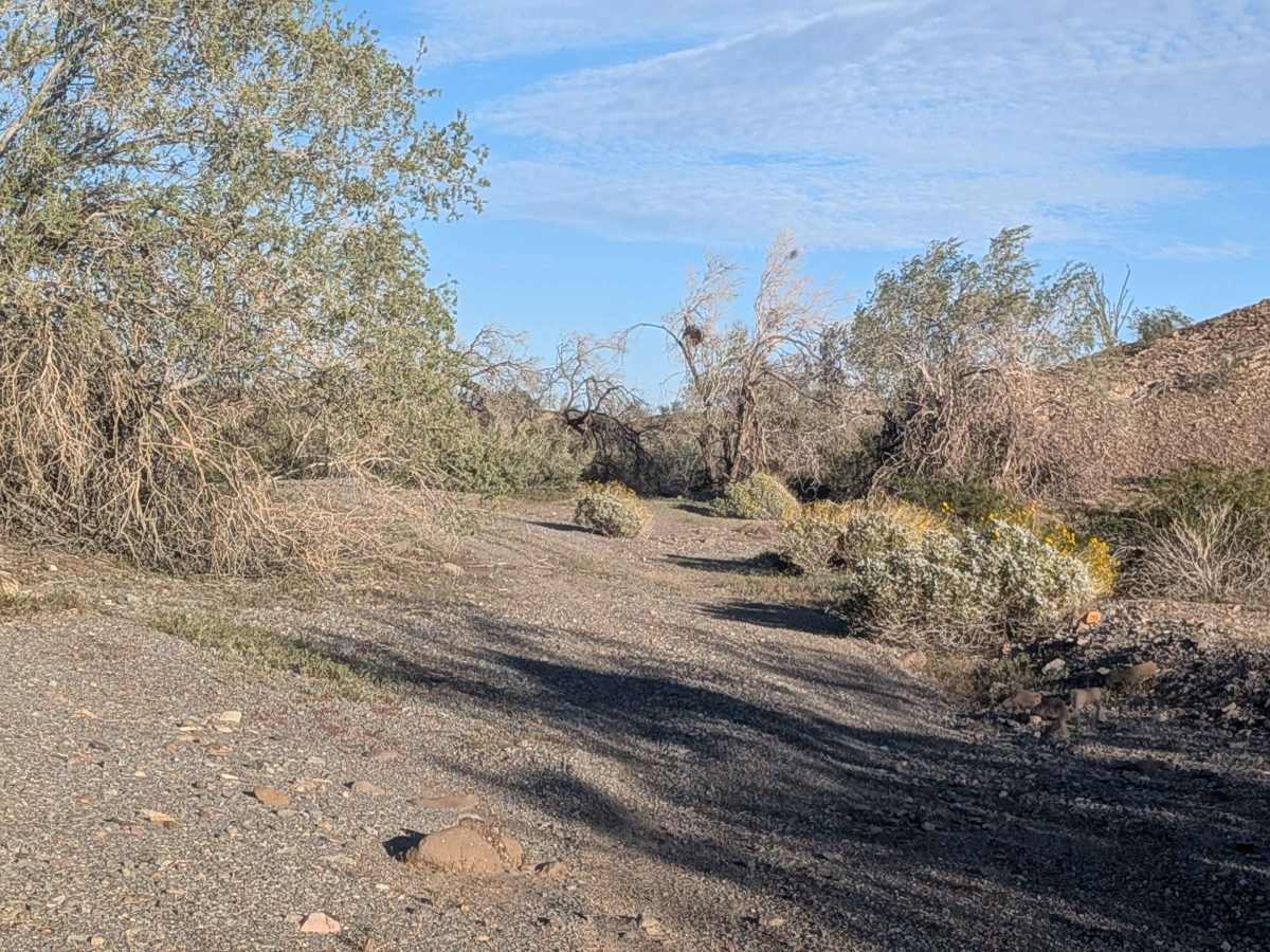
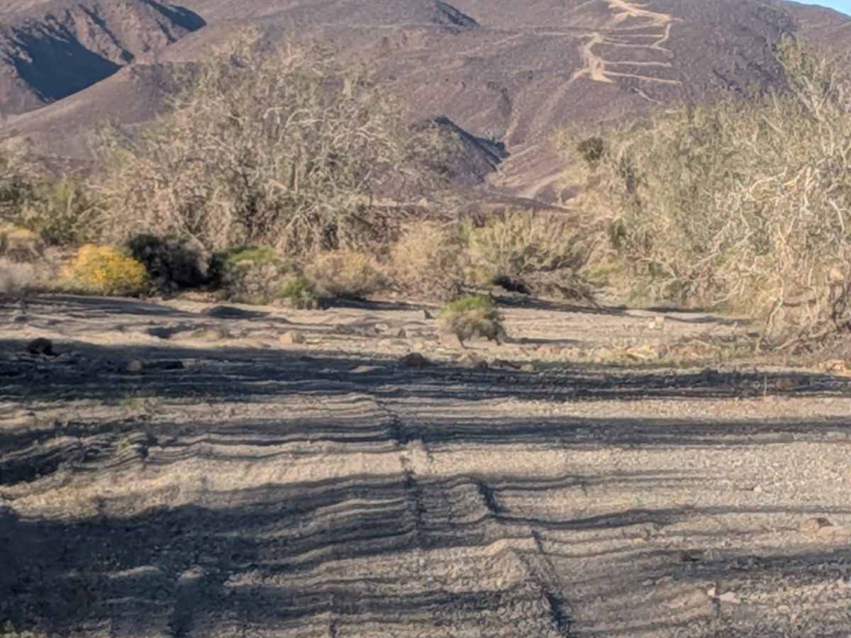
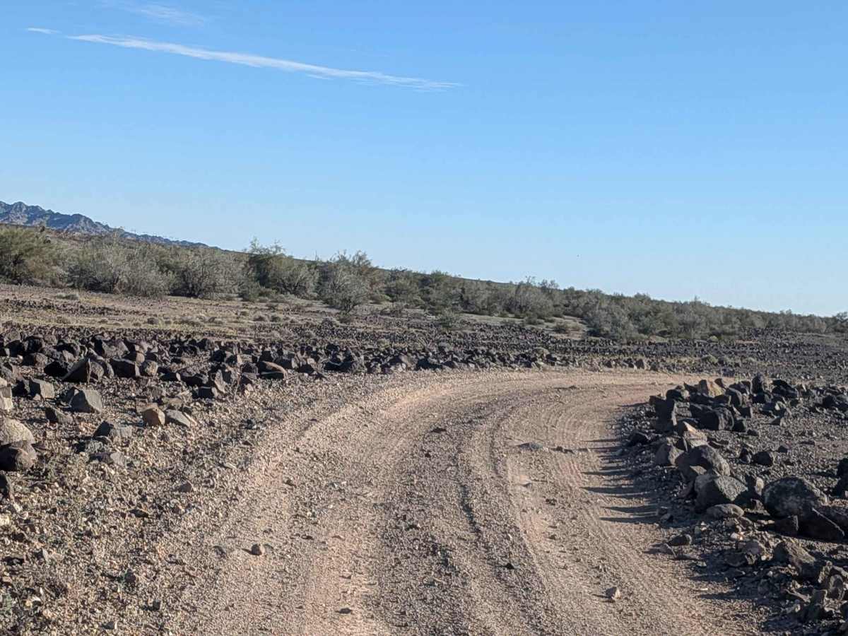
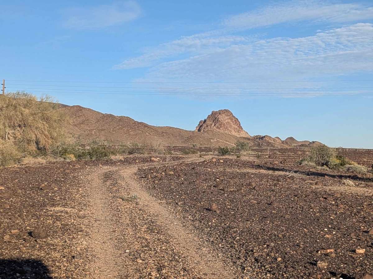
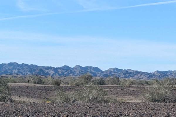
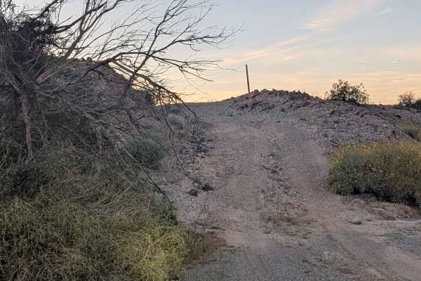
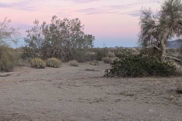
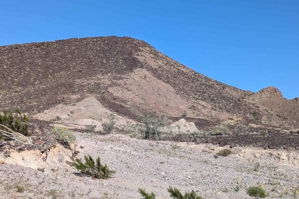
Connecting BLM 640 to BLM 654 while crossing BLM 592, this hard pack sand route travels through an otherworldly landscape carpeted in small black volcanic rocks from pebble to basketball size. Vegetation barely exists beyond occasional ocotillo, creating an almost barren alien world feeling. The best views arrive heading north, where Pasadena Mountain and the Chocolate Mountains command attention. Recent floods erased the old start, forcing a new beginning that rejoins the original trail half a mile down from the 592 intersection. The route cuts down into a wash where hard-pack sand meets lots of vegetation, a stark contrast to the volcanic rock moonscape above. Following various washes with steps up to 18 inches becomes the pattern. Quartz Peak appears in views as you navigate ruts, deeper sand, and off-camber sections meandering through washes, nothing exceeding 18 inches. Overgrown trees create tight maneuvering in spots. Stunning mountain views punctuate this journey through contrasting landscapes.
Difficulty
Steps up to 18 inches in those various washes demand high clearance and careful approach angles throughout. The combination of ruts, deeper sand, and off-camber sections creates technical challenges that require attention and skill. Overgrown trees forcing tight maneuvering add navigation difficulty and potential pinstriping. The new start due to flood damage means conditions differ from historical descriptions. High clearance and four wheel drive handle the wash navigation and varied obstacles. The contrast between barren volcanic terrain and vegetated washes keeps you adjusting your approach.