Trail Overview
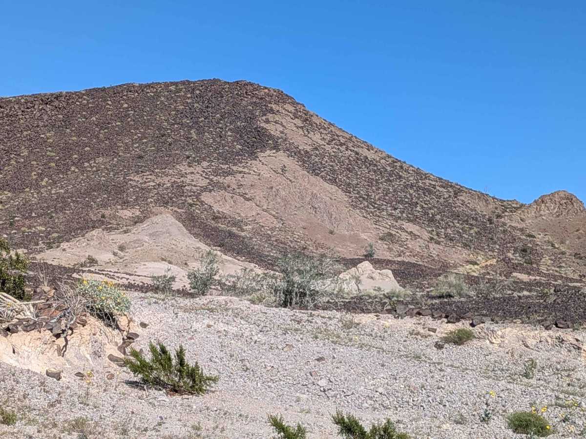
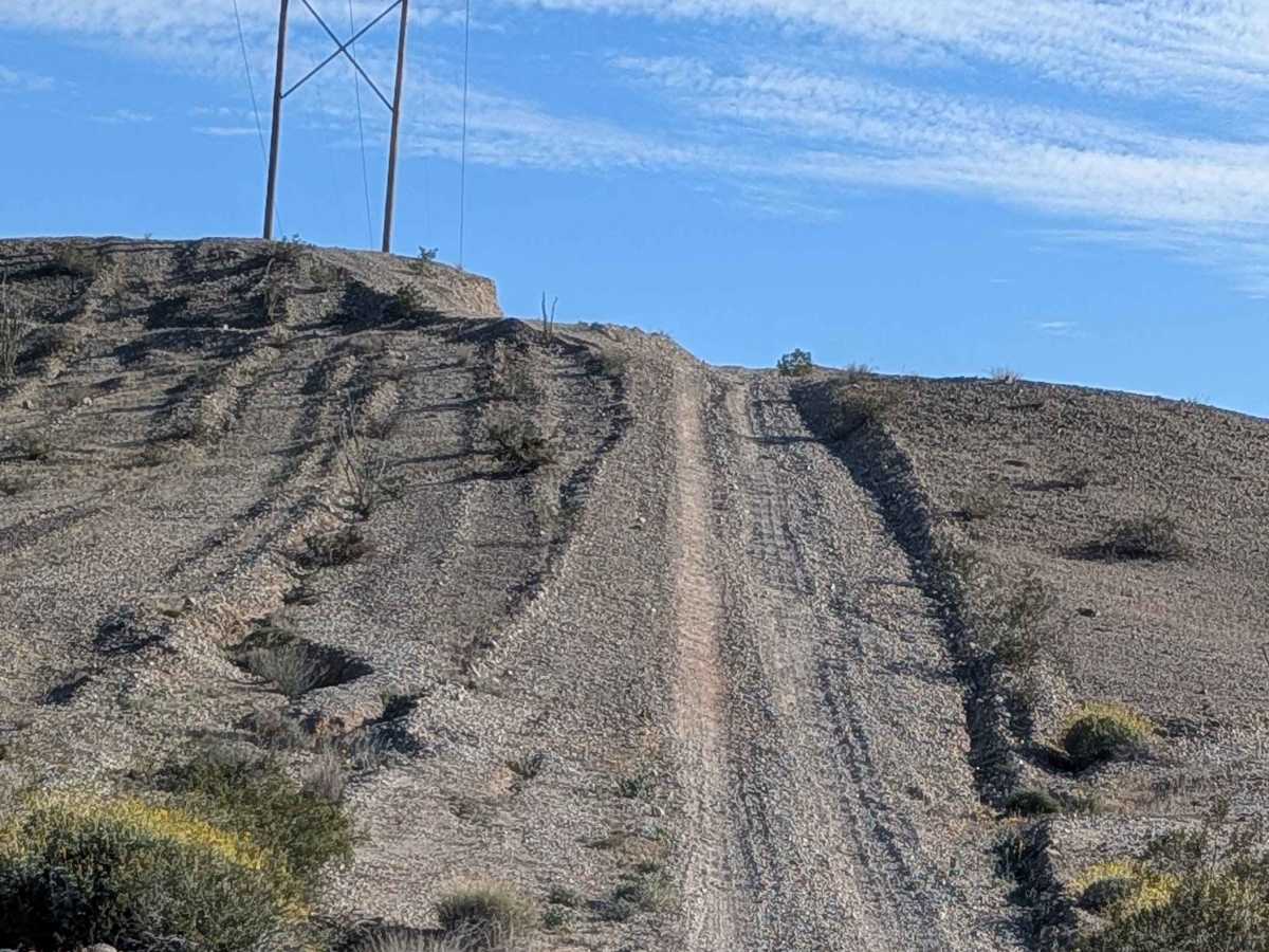
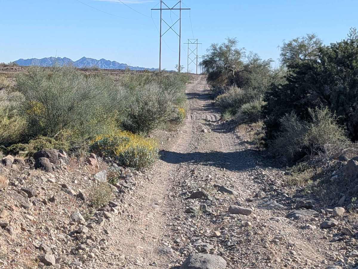
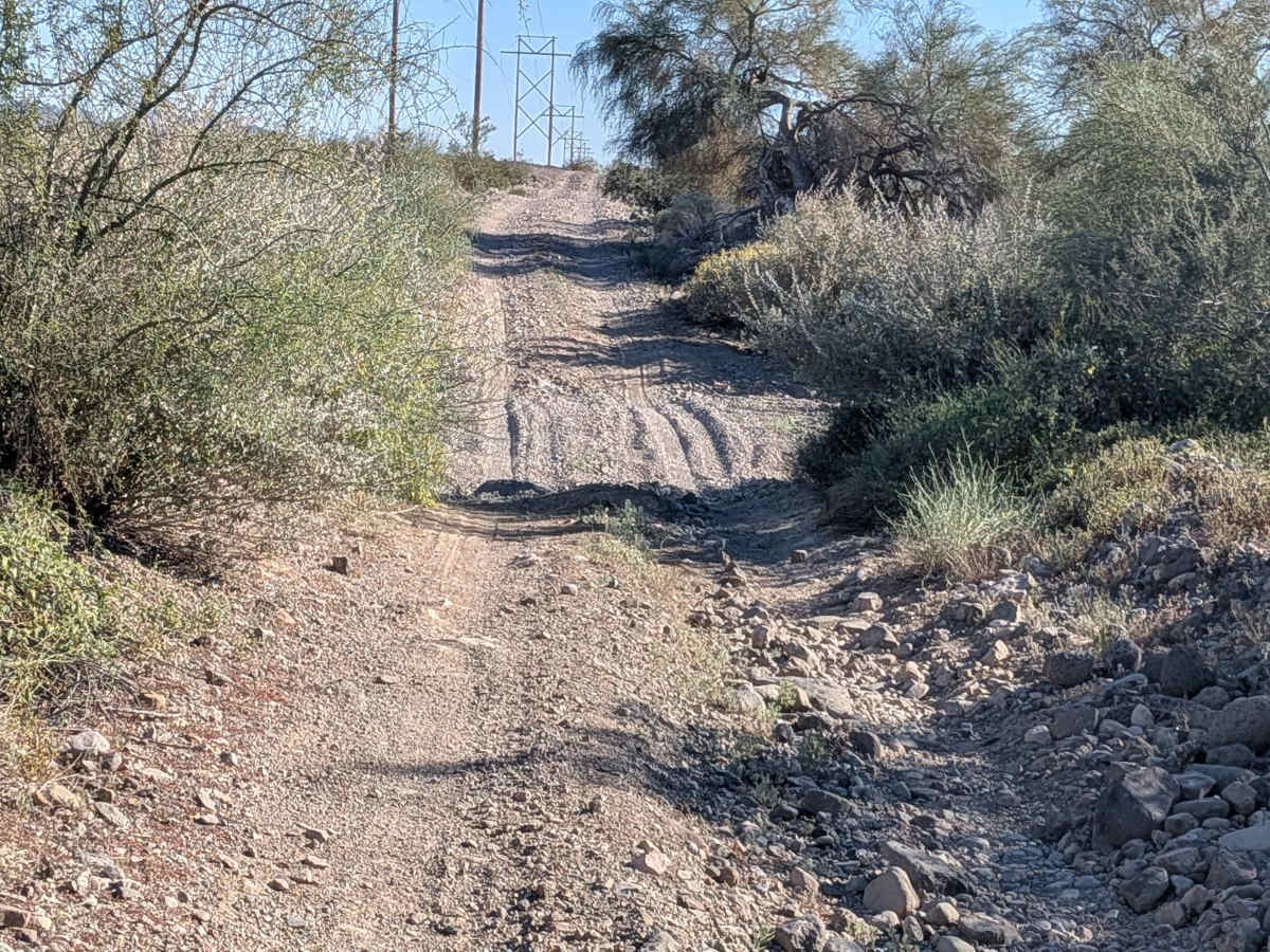
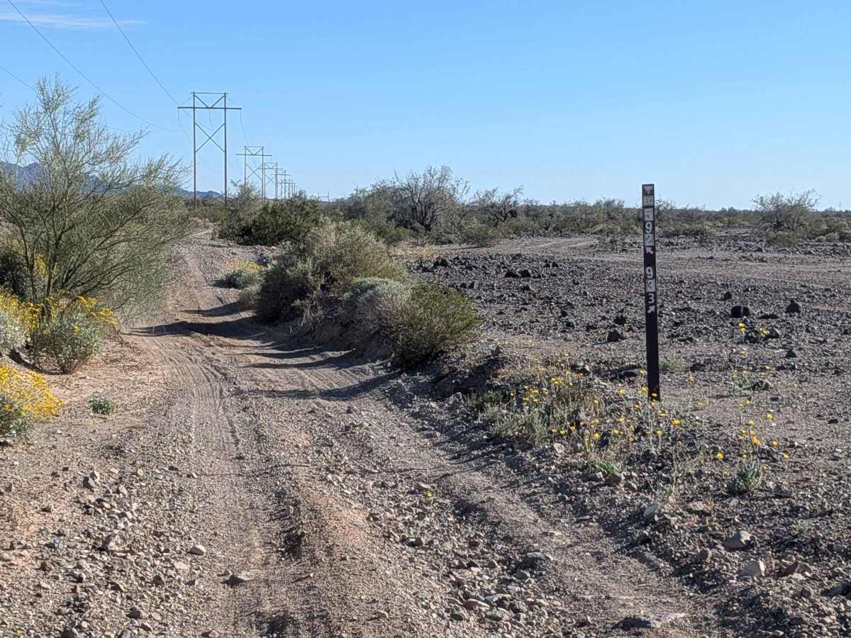
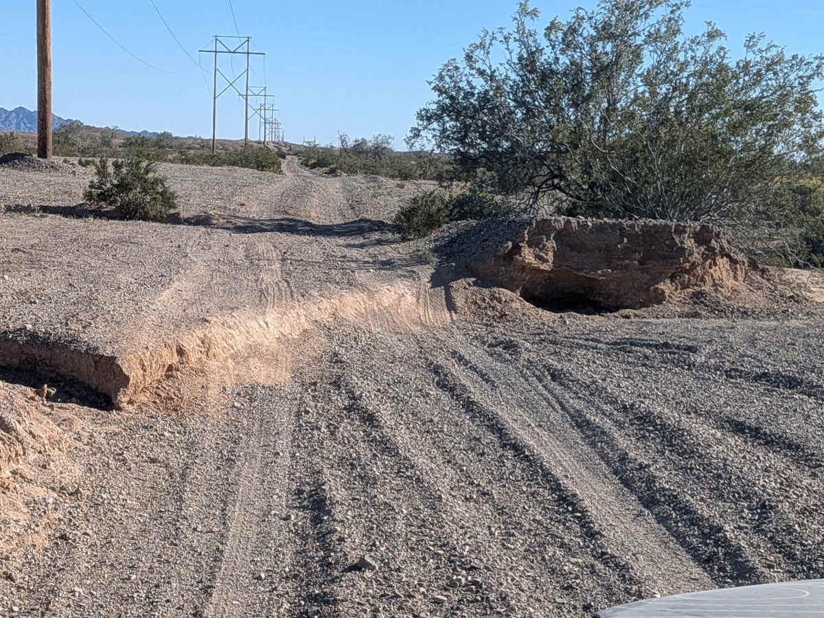
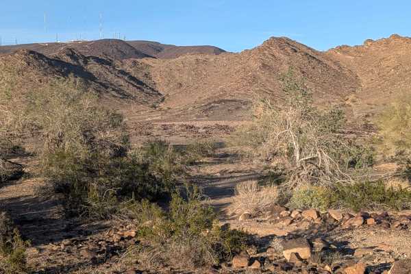
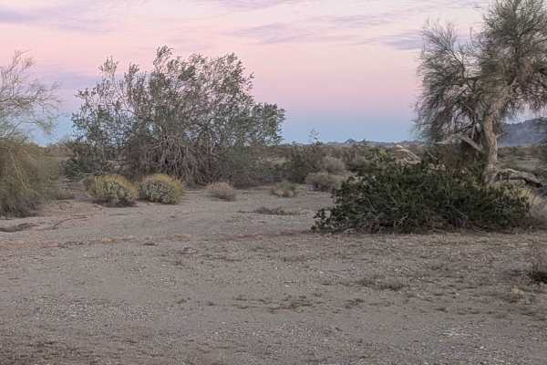
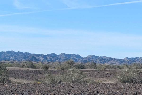
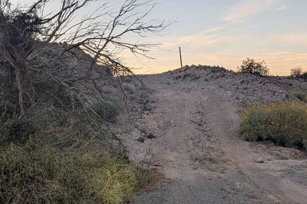
Threading north to south beneath main power lines, this sandy route with gravel and small rocks winds back and forth rather than following a straight path, weaving near the towers. Up and down becomes the rhythm as you navigate terrain studded with ruts reaching 12 inches. Great views of mountains, including the Chocolates, reward your efforts. Vegetation thickens with lots of trees, desert brush, and seasonal blooming wildflowers, creating density unusual for the region. One very steep hill tests your momentum and nerve. The trail climbs high onto a ridgeline with dropoffs flanking both sides, creating exposure that demands respect while offering stunning views of all surrounding mountains in every direction from this elevated perch.
Difficulty
Ruts up to 12 inches require clearance and attention throughout. The very steep hill is the major challenge, demanding momentum, traction, and commitment to climb successfully. The ridgeline section with dropoffs on both sides creates psychological pressure even if the trail surface handles well, requiring steady nerves and precise navigation. The winding nature means constant steering input rather than cruise control. High clearance and four wheel drive handle the terrain well, though that steep hill and exposed ridgeline earn the rating.