Trail Overview
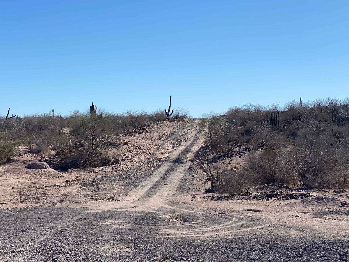
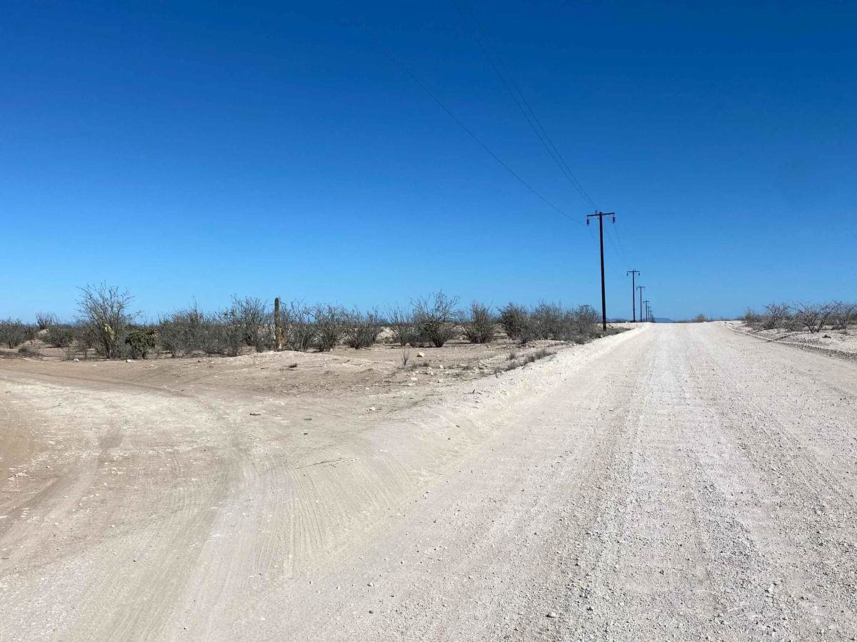
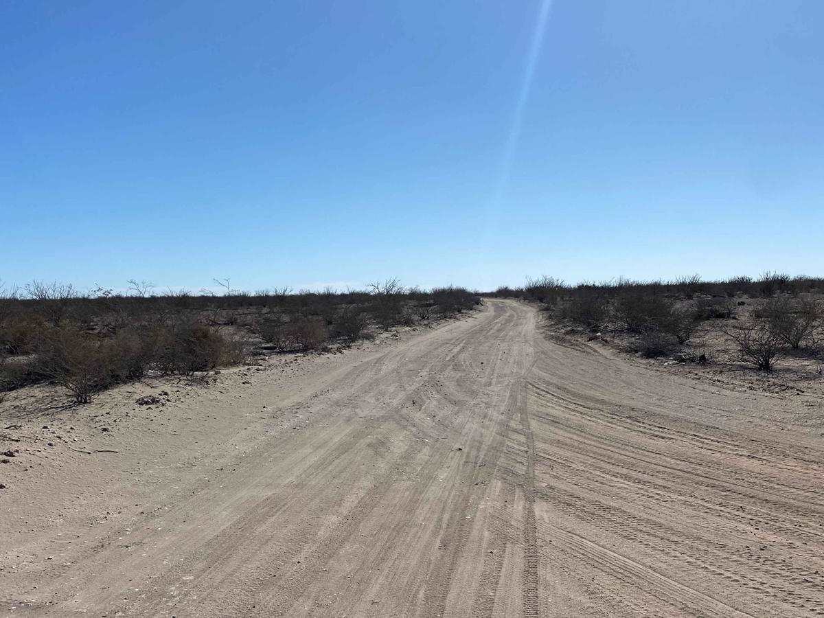
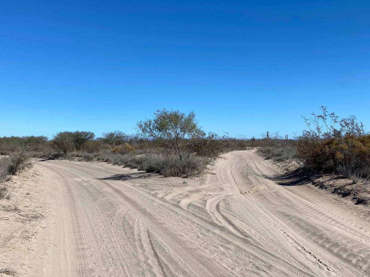
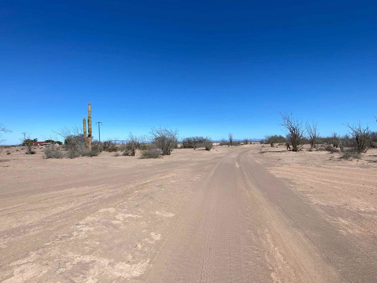
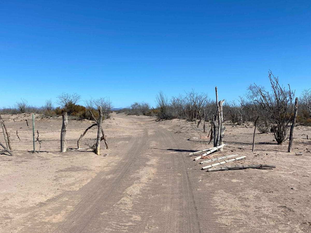
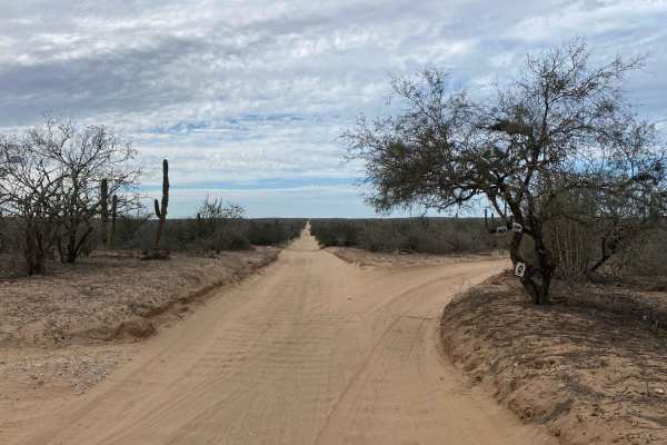
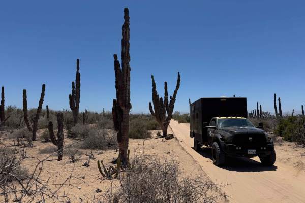
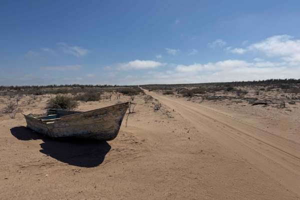
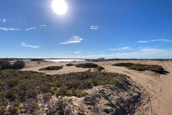
This alternate trail to San Javier was mapped to bypass the first 6 bone-rattling miles of washboard on the main road--and for the first 3 to 4 miles, it delivers. The path is smooth, winding, and relatively comfortable, with only occasional washboard patches, far fewer than on the main route. Along the way, you'll pass small farms, ranches, and desert wildlife like rabbits and chipmunks, surrounded by typical desert vegetation and a few El Cardon cacti. At about the 3.5-mile mark, the road changes character: an open gate leads to a less-traveled section with silt traps about a foot deep, manageable but requiring care. It was here that I heard a javelina nearby--a reminder to stay alert in the desert. Beyond the silt, the trail becomes rocky, with stretches of loose, baseball-sized rocks breaking up smoother sections. Once you reach the arroyo, the terrain surprises you with firm, easy sand that transitions into a decent road leading back to the main route. Despite the challenges, this alternate trail proved to be a worthwhile and adventurous detour.