Trail Overview
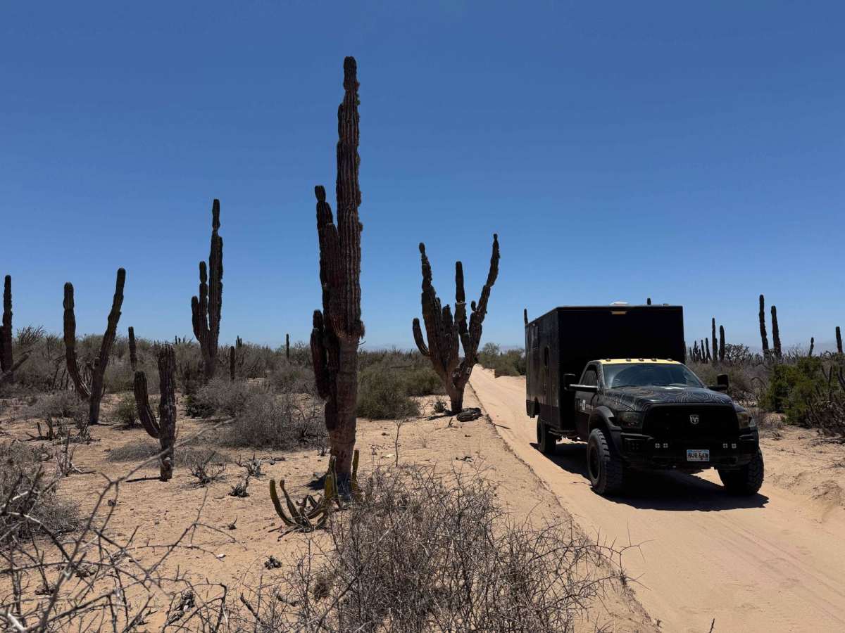
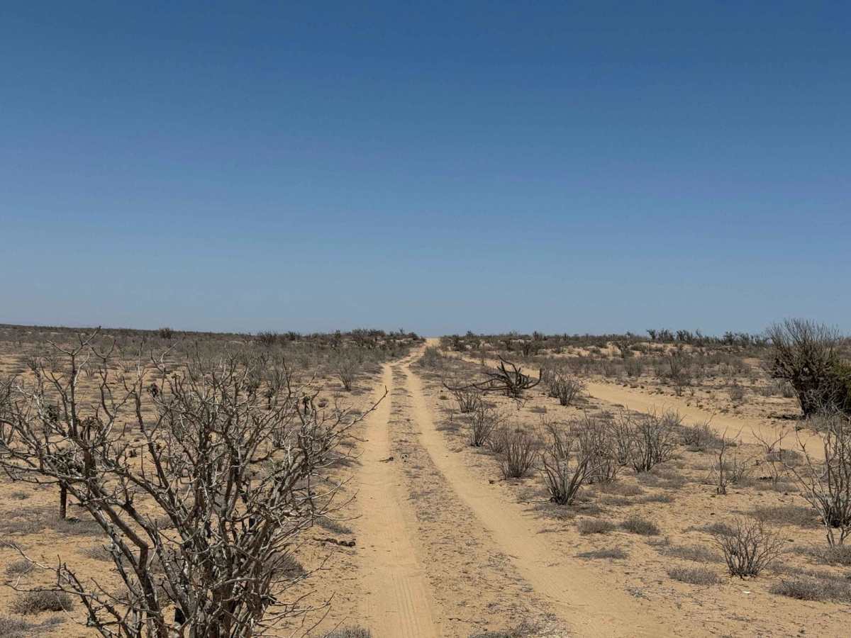
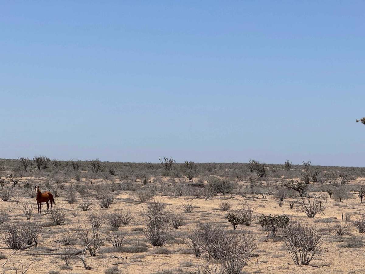
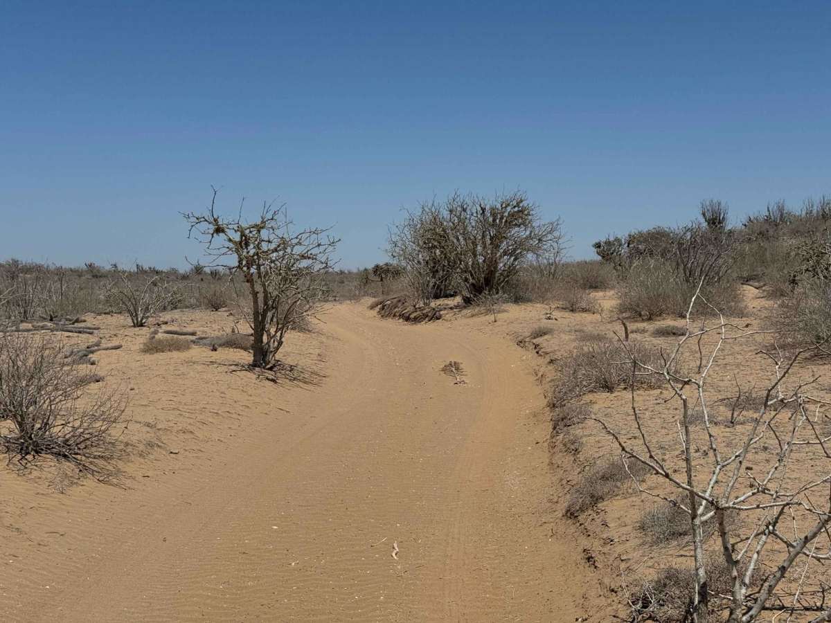
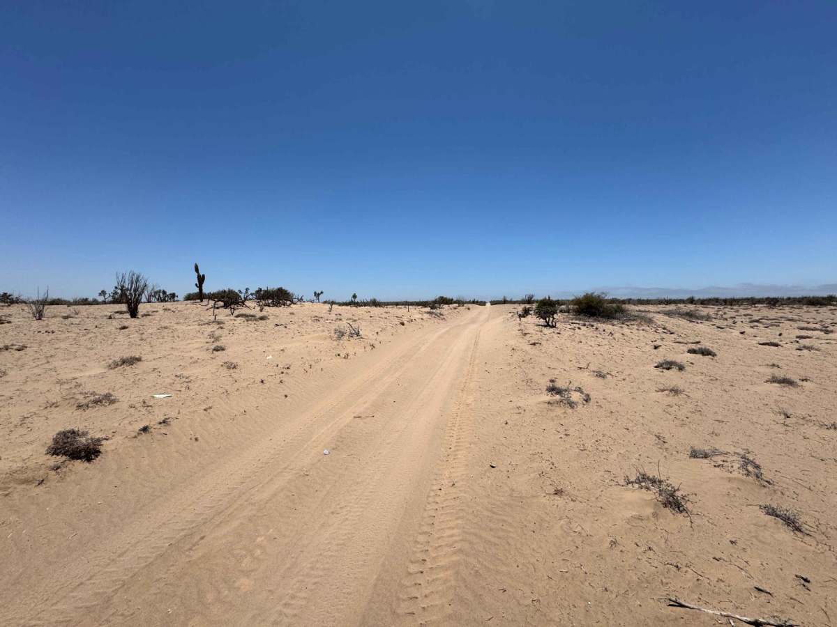
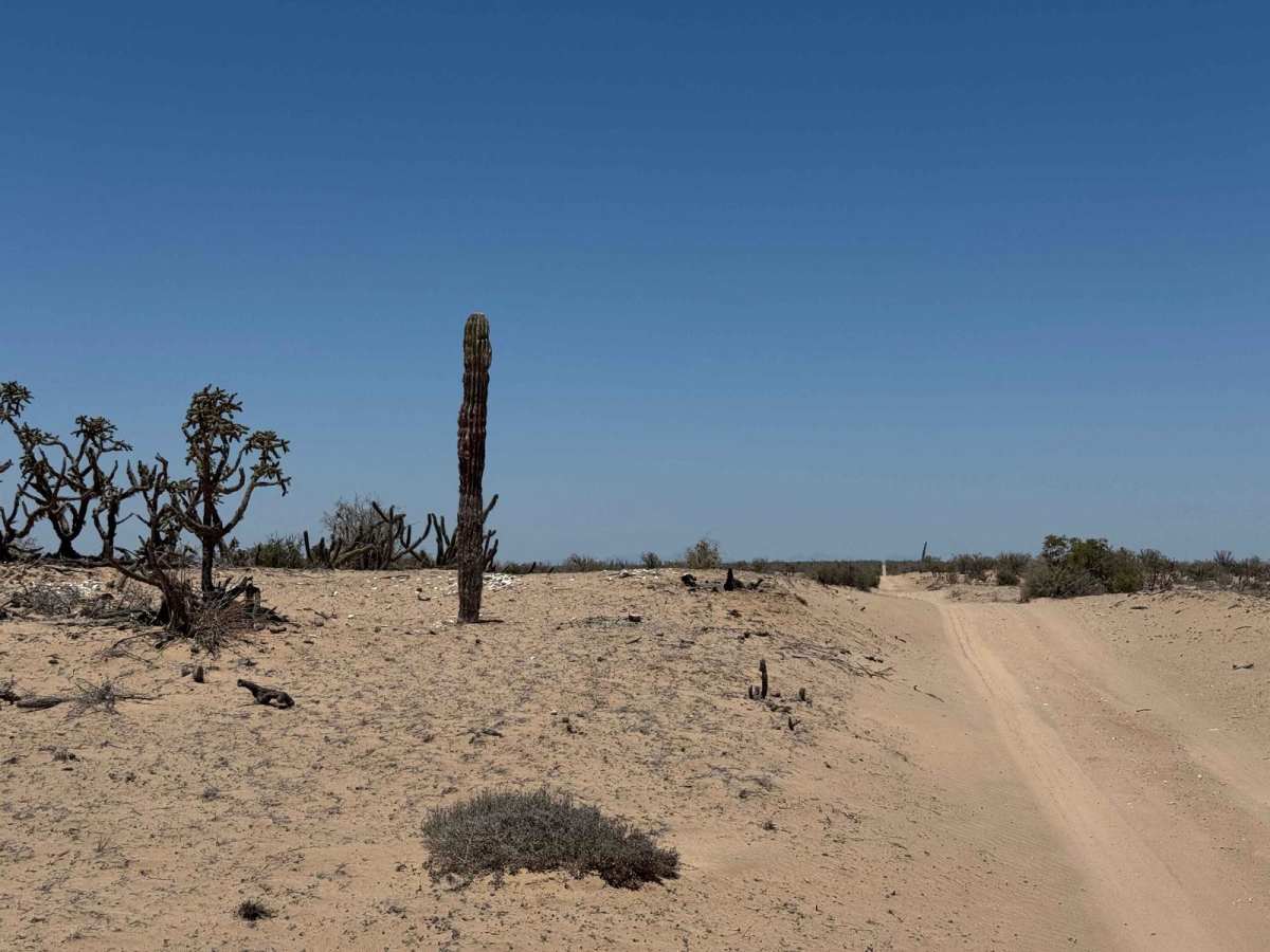
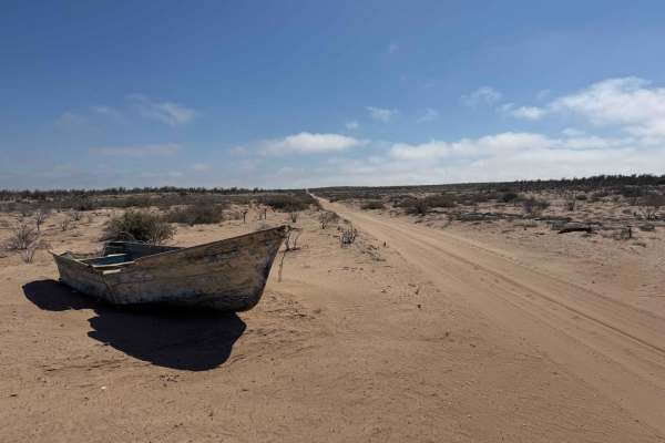
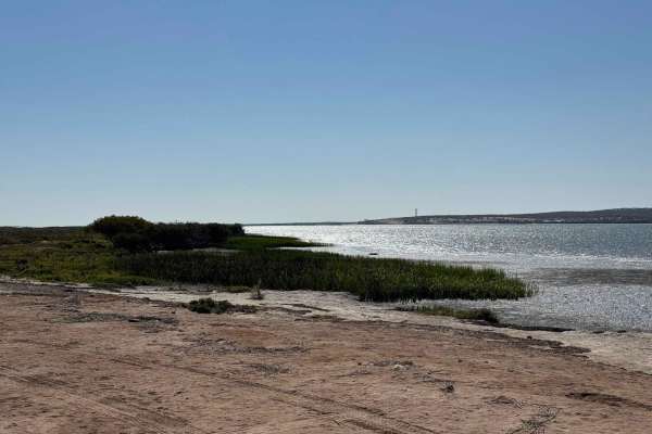
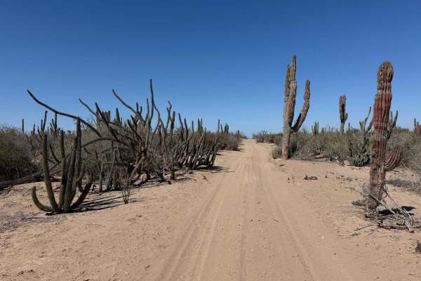
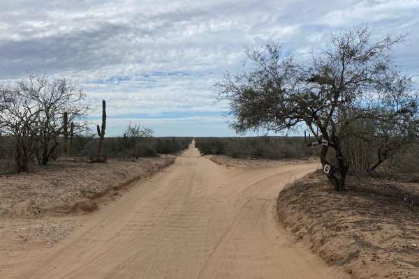
Beginning in the town of Maria Auxiliadora, this route heads west toward the coastal lowlands, transitioning quickly from a firm, hard-packed surface to sections covered with large, wind-blown sand drifts--some reaching 2 to 3 feet high. While the underlying road appears well-maintained, likely due to frequent use by local fishermen, on this day, the drifts made 4WD essential. Although a few 2WD trucks were spotted attempting the route, the risk of getting stuck was high without the ability to air down or find viable go-arounds. Fortunately, this deep sand section is relatively short. Beyond it, the trail levels out with only light sand--typically no more than 2 to 3 inches--and winds through wide-open desert before giving way to increasingly lush vegetation. Towering El Cordon cacti and other desert flora line the route before transitioning into a mix of mid-desert vegetation. Wildlife in the area is abundant, with sightings of coyotes, rabbits, wild donkeys, and even wild horses. Near the coast, the route intersects with a Baja racecourse, where you can turn left or right to parallel the estuary, or continue straight for another mile to reach one of the mangrove-lined roads in the coastal lowlands.
Difficulty
The most challenging section of this trail comes just outside of town, where you'll encounter a stretch with large, 2 to 3-foot sand drifts piled across the road near a fence line. While the drifts are fairly firm and may occasionally be cleared, 4WD was necessary on this trip to navigate the area safely. In general, having 4WD and the ability to air down your tires is highly recommended throughout these semi-remote sections--even in dry conditions. If you're planning to continue into the lowlands along the estuary, be sure to check the tide charts ahead of time; king tides or unusual weather patterns can quickly make those lowland routes impassable.