Trail Overview
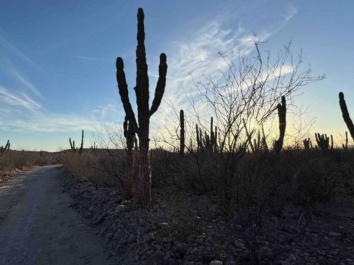
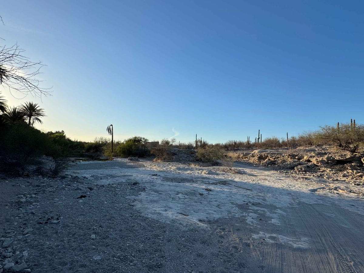
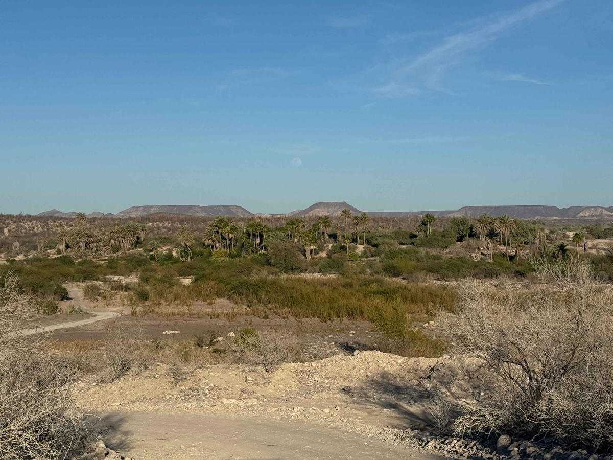
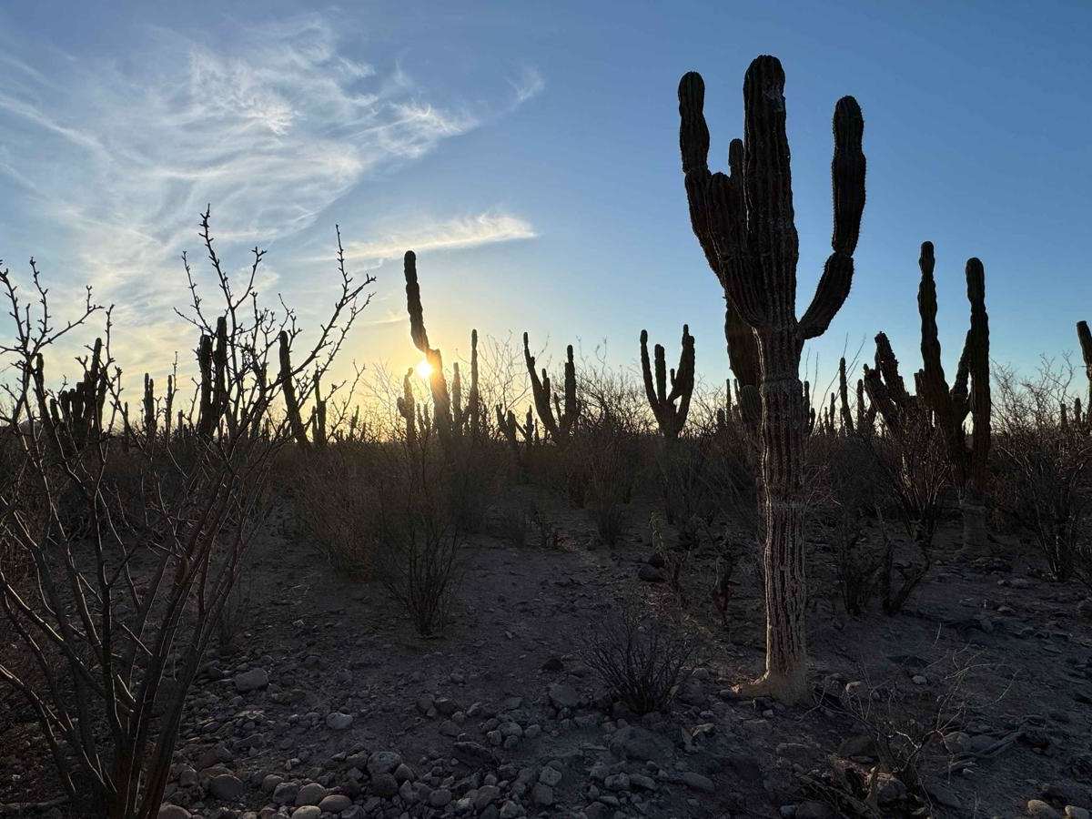
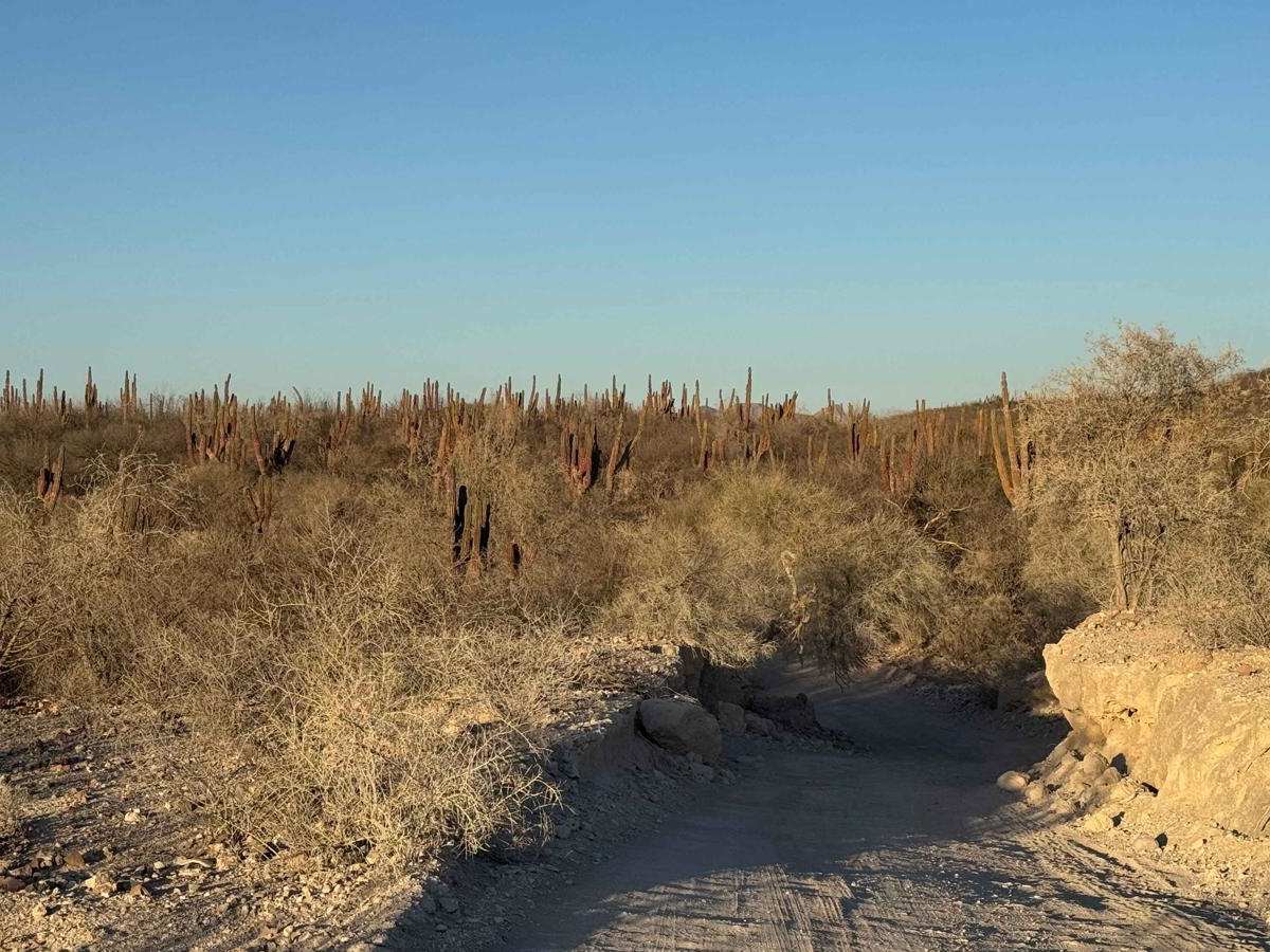
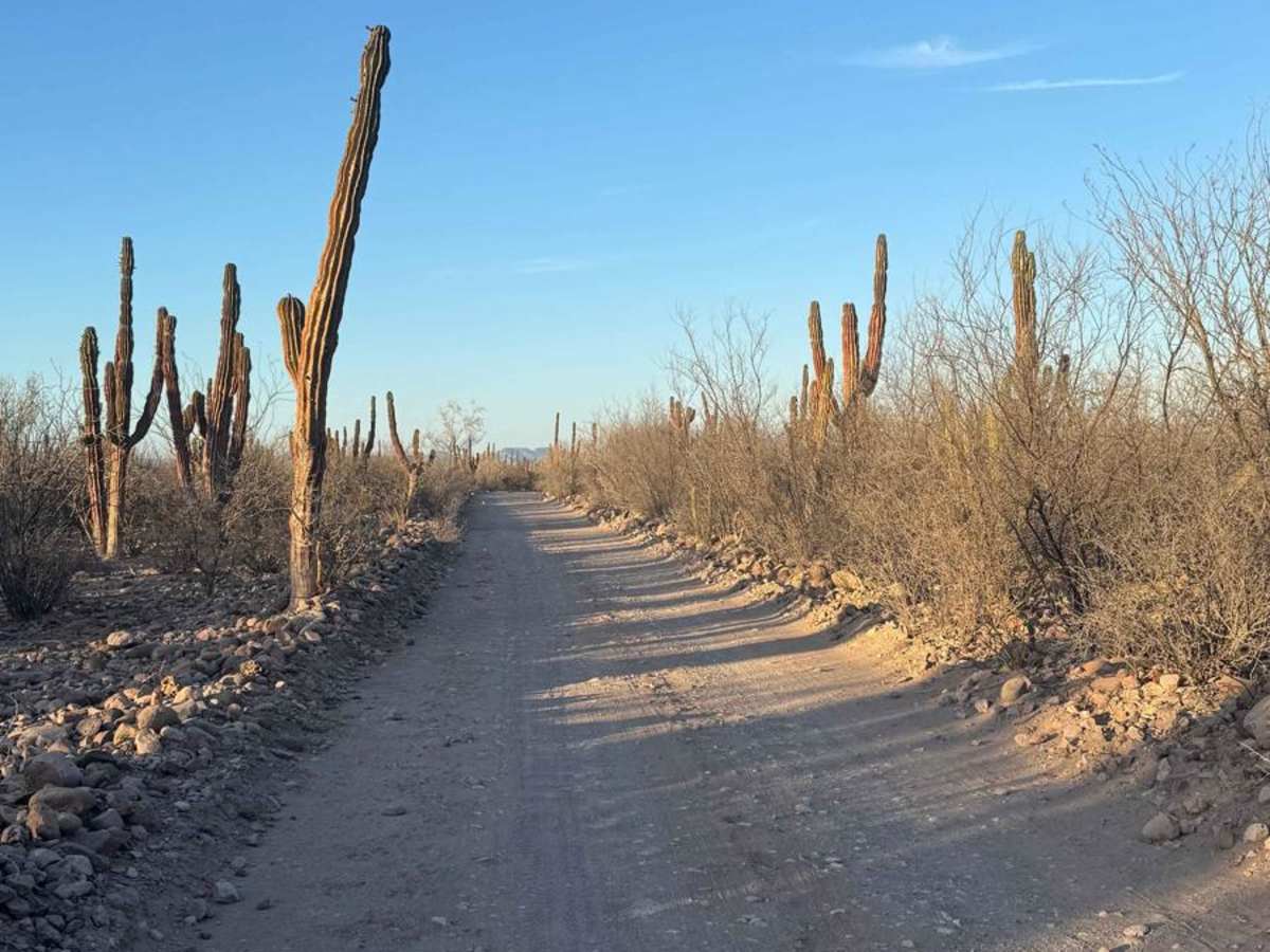
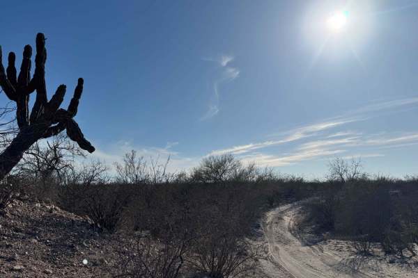
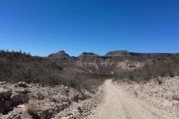
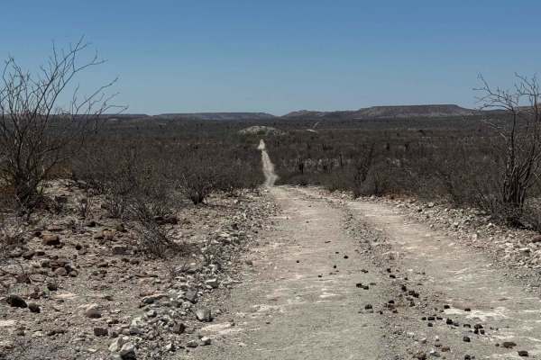
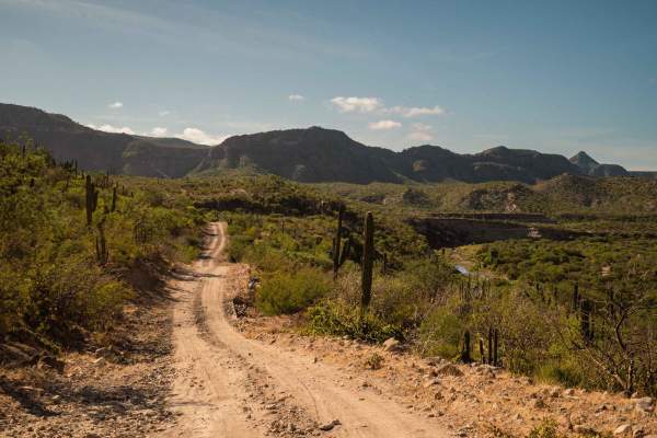
Beginning off the Las Positas-La Soledad road, this short but scenic 5-mile route winds through four to five lush sections of a larger arroyo, each lined with palm trees and holding water even in the driest seasons--making it likely that during the rainy season, there will be more water crossings than total miles traveled. After crossing the first arroyo, the trail climbs toward a nearby ranch where locals, typically friendly, may ask about your destination; simply explaining that you're a tourist is usually enough, as this area falls under local Ejido jurisdiction. Passing a charming schoolhouse and small church, the trail opens into a stunning stretch of desert--especially beautiful at sunset. As you near the final arroyo, the route veers left toward a private ranch; unless you have permission, it's best to stop short here, though all the ranchers encountered along the way tend to be welcoming. There are a few potential camping spots along the route, and if you continue straight into the arroyo, it eventually leads to another private ranch where access may also be restricted.
Difficulty
While 4WD likely won't be necessary for most of this route in dry conditions, there are a few steep sections when entering and exiting the arroyos, with the final arroyo presenting the most technical challenge due to its steep, off-camber angles. In wet conditions, extreme caution is required--what appear as manageable ledges when dry can become dangerous if submerged, as the water can conceal sharp drop-offs and unstable edges. Familiarity with the road is crucial if you're attempting this section during or after rainfall.