Trail Overview
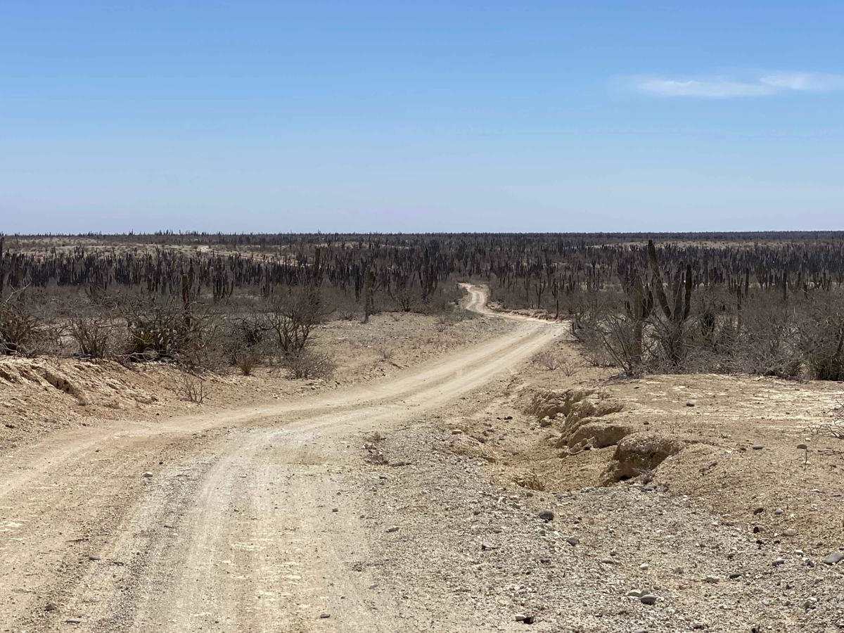
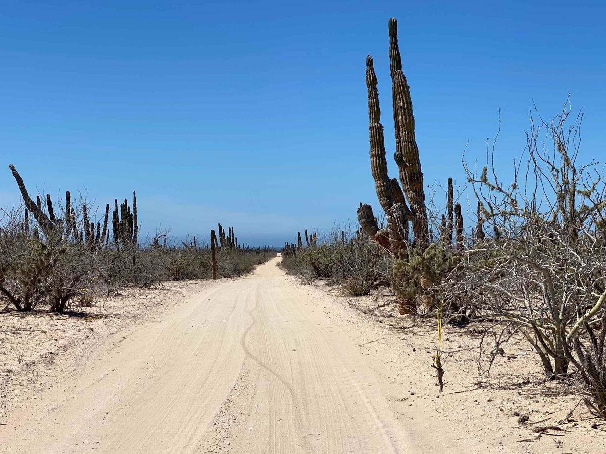
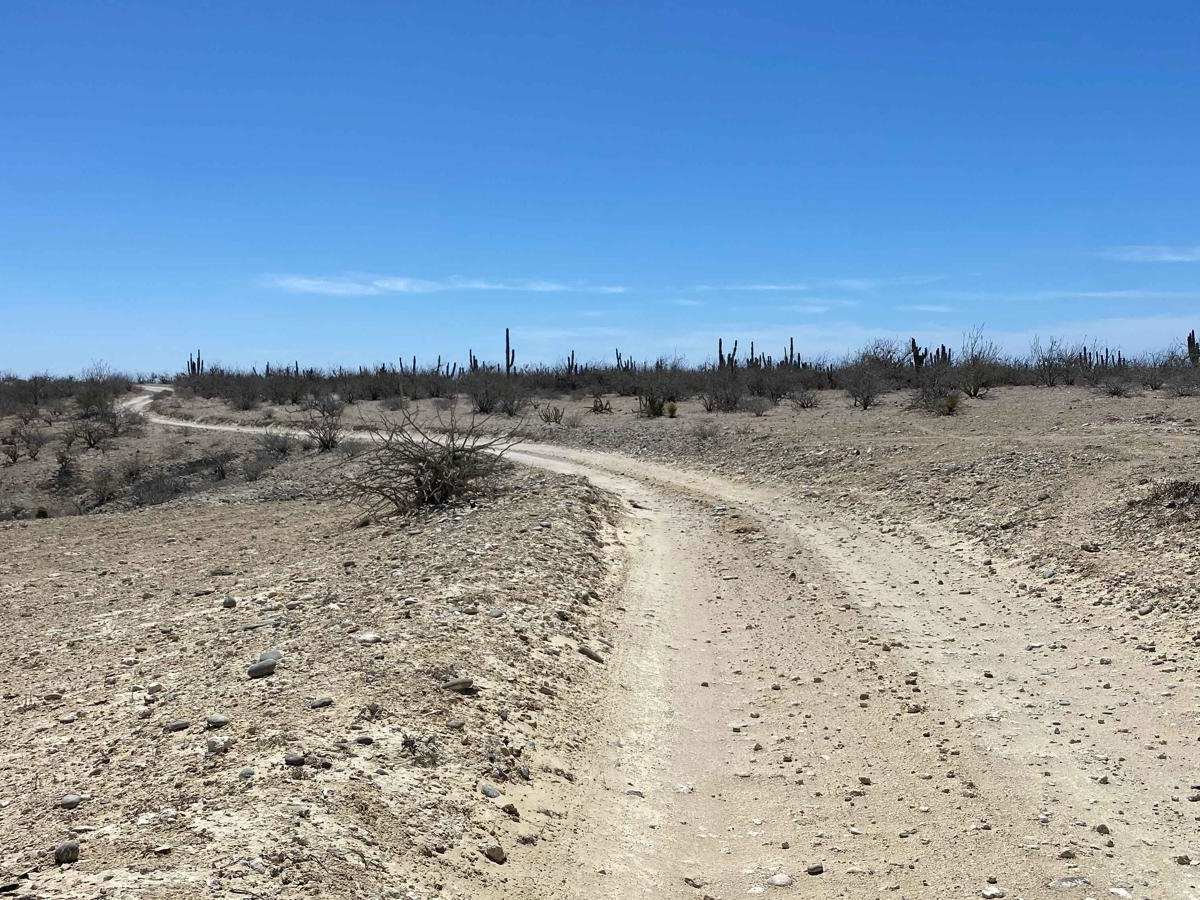
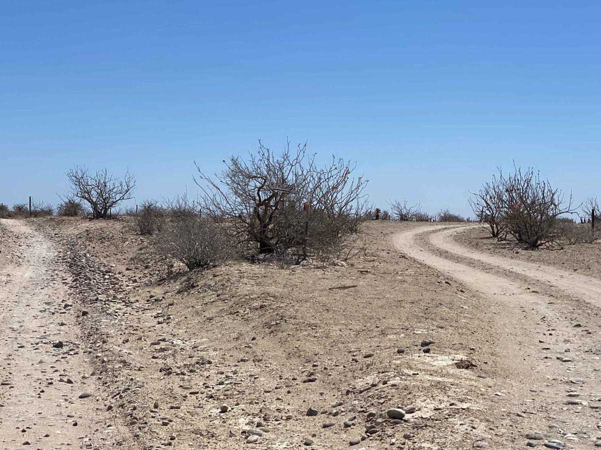
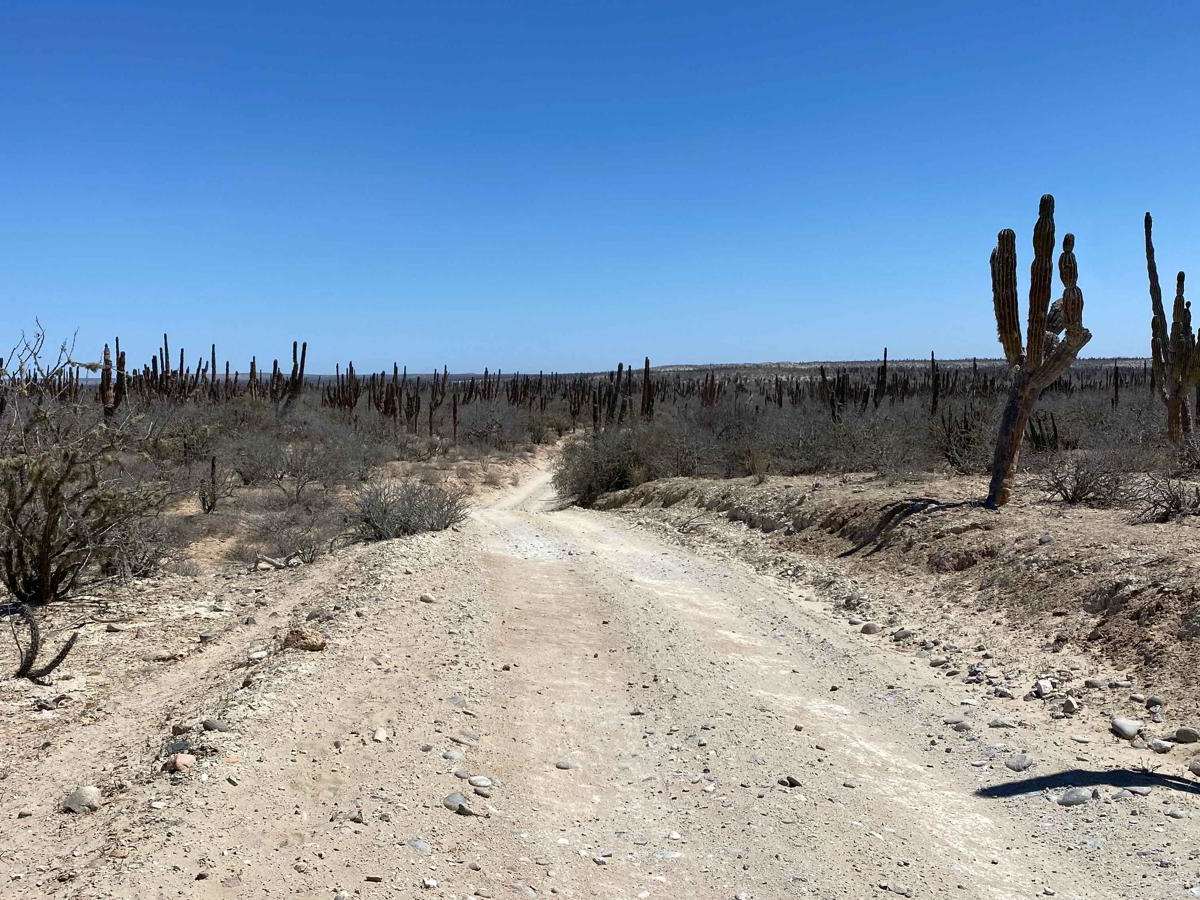
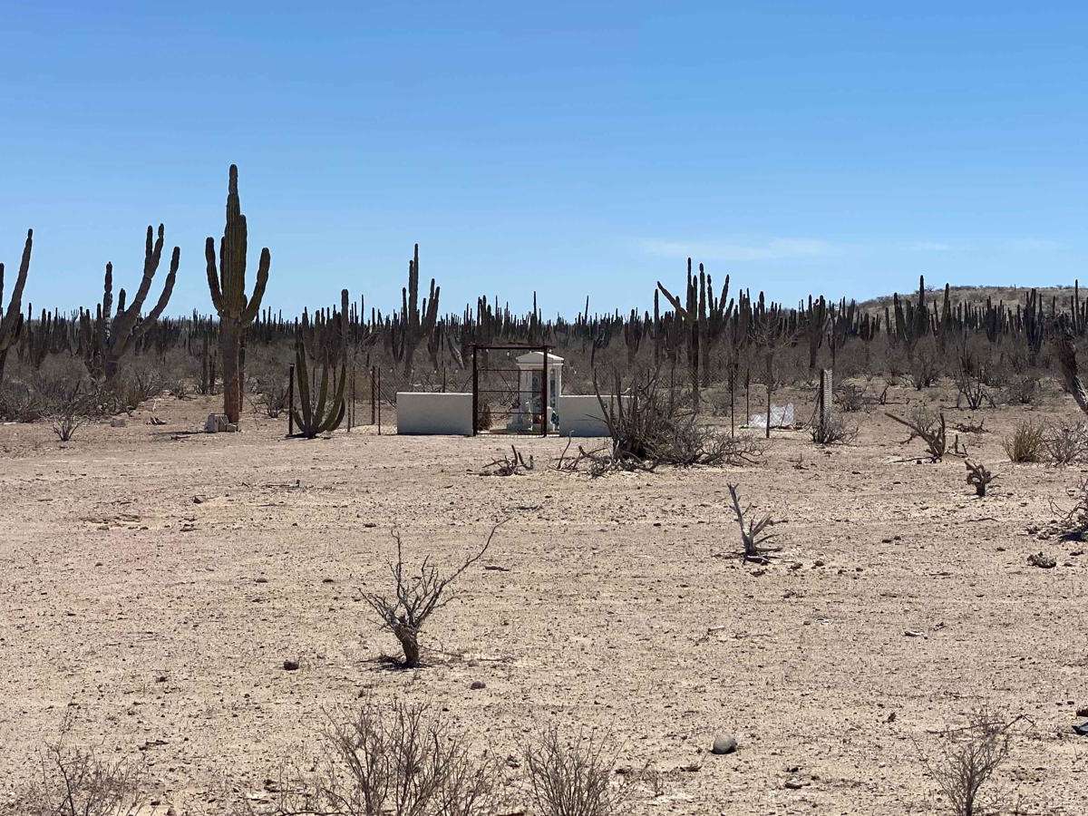
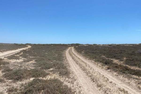
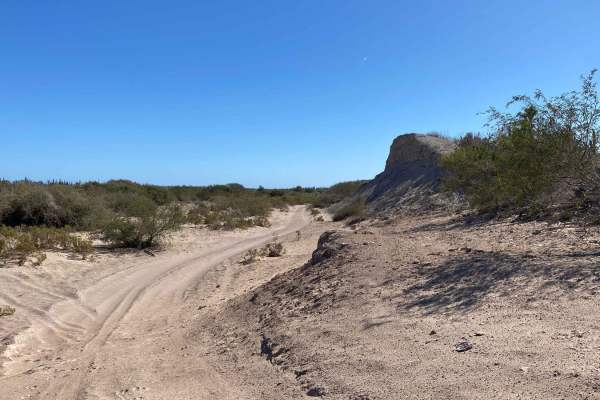
Starting from Dos Ranchos Road, this two-track trail branches off to the right, passing Rancho El Rosario No. 2 with turnoffs to several other ranches along the way. The route begins with a light sandy surface, about 2-3 inches deep but easily manageable, before firming up as you descend a few hundred feet. The road remains relatively smooth throughout. Upon reaching Rancho El Rosario, the trail forks left to bypass the ranch, following a lesser-traveled path. While you cannot continue straight, the route does pass directly through the ranch before reconnecting with the main trail about a quarter mile ahead. Travelers are encouraged to maintain good relations by reducing speed and greeting any ranchers they encounter, as recent closures of gates have been an issue in this area. The trail winds through a landscape of ancient cardon cacti and dense mid-height desert vegetation, where owls can be spotted at dusk and a bobcat has been seen near a nearby camp. At a sharp left turn, an alternate route to the right leads to a network of trails connecting to pavement at Reforma Agraria. Staying left, however, brings you near the entrance to the Rabbit Hole and onto a route that extends approximately 30 miles northwest to southeast, eventually reaching the highway to Todos Santos.
Difficulty
This trail is generally easy and manageable, though some sections have light sand, particularly along the bypass around the ranch, which is unmaintained and infrequently traveled. Aside from that, the route remains straightforward, and in dry conditions, it poses little challenge for most vehicles.