Trail Overview
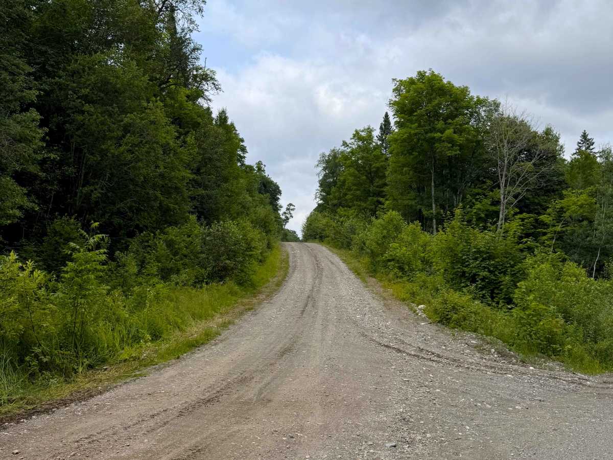
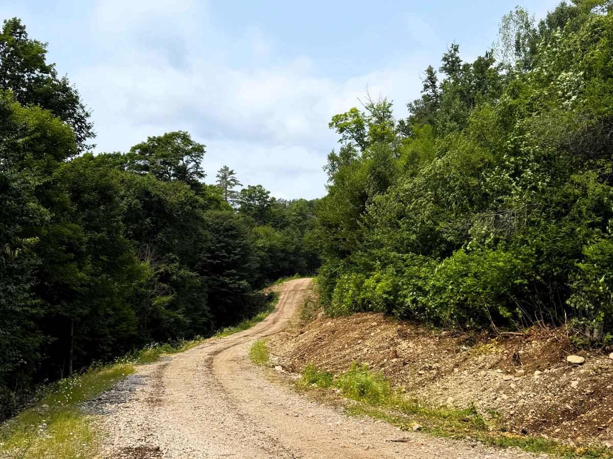
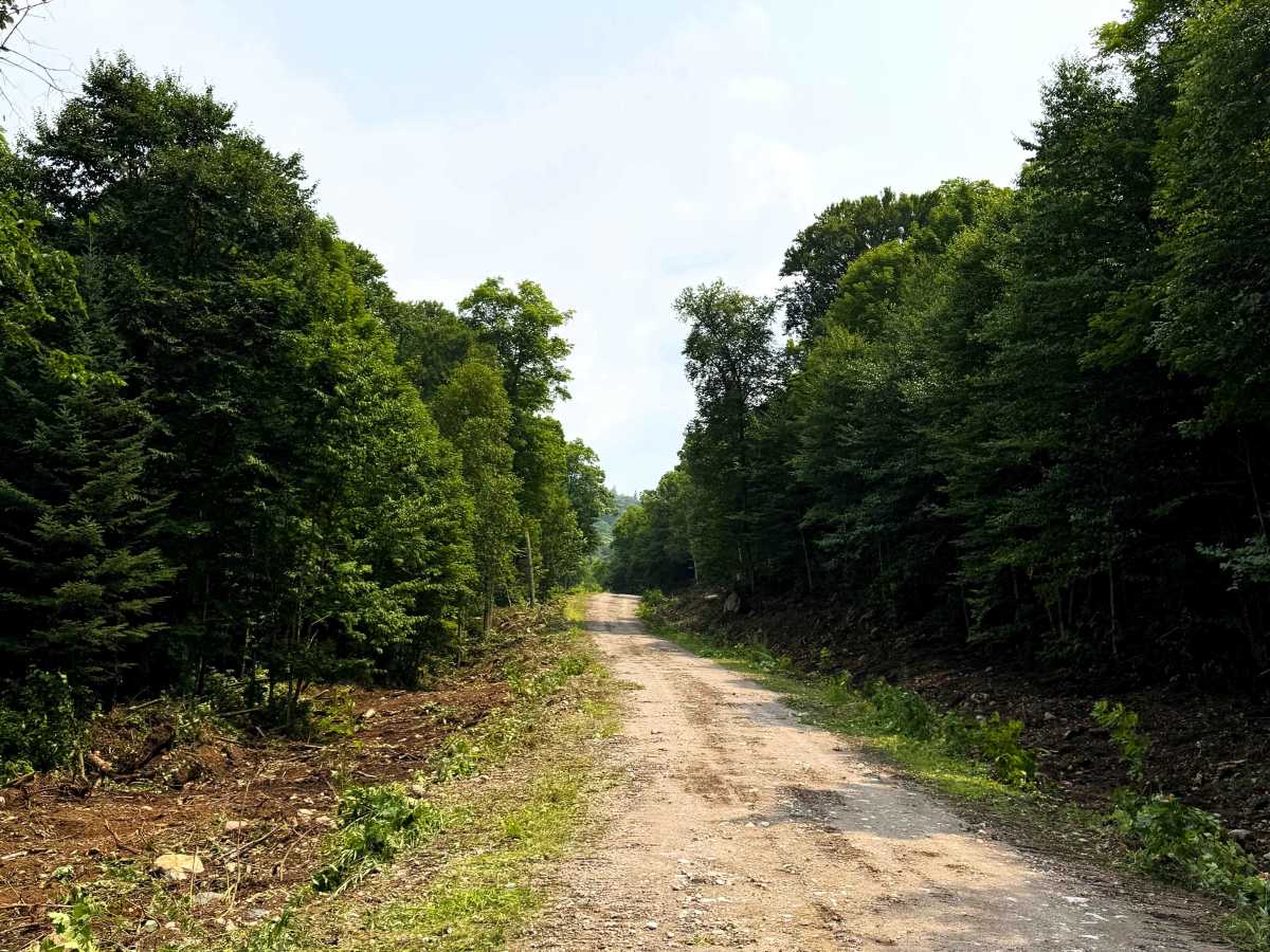
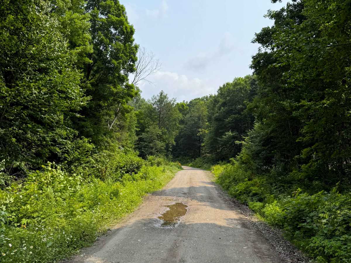
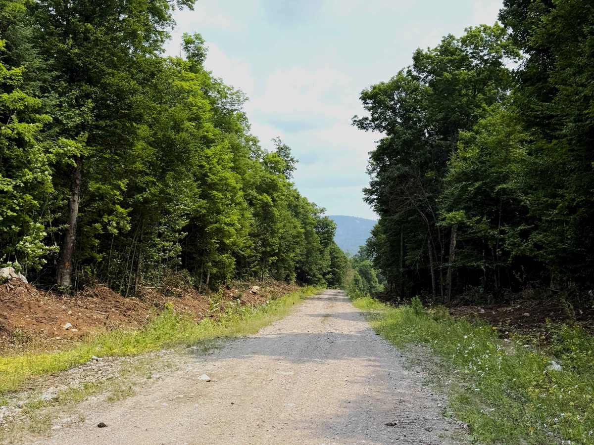
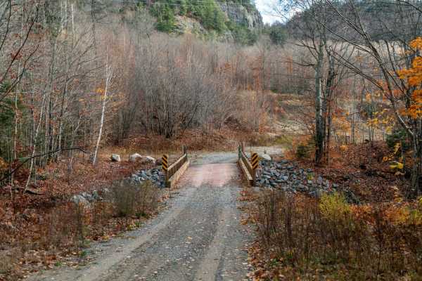
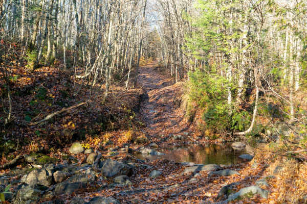
Research Camp follows approximately 7 km of gravel and dirt forest roads through the Algoma backcountry. The route passes facilities associated with the Turkey Lakes Watershed research program before continuing deeper into the surrounding forest. Expect a relatively easy drive on mostly wide, well-surfaced forest roads with rolling hills, occasional potholes, and loose gravel. There are no significant off-road obstacles along the route, making for a scenic and straightforward drive through the area.
Difficulty
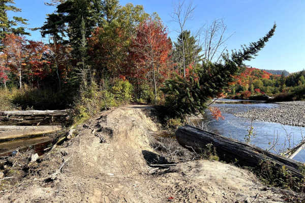
Research Camp is an easy gravel and dirt forest road with no significant technical obstacles. The route is generally wide with a firm surface, but includes occasional potholes, loose gravel, uneven sections, and rolling grades. Conditions may vary with recent weather and road maintenance. Four-wheel drive is recommended.
History
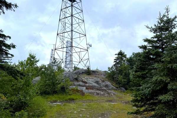
The route passes the Turkey Lakes Watershed field camp, part of a long-running environmental research program established in the early 1980s. The watershed has been used by Canadian researchers to study forest ecosystems, water quality, acid rain, and the effects of environmental change. The field camp provides facilities for researchers working in the surrounding area and has supported decades of scientific monitoring and study.