Trail Overview
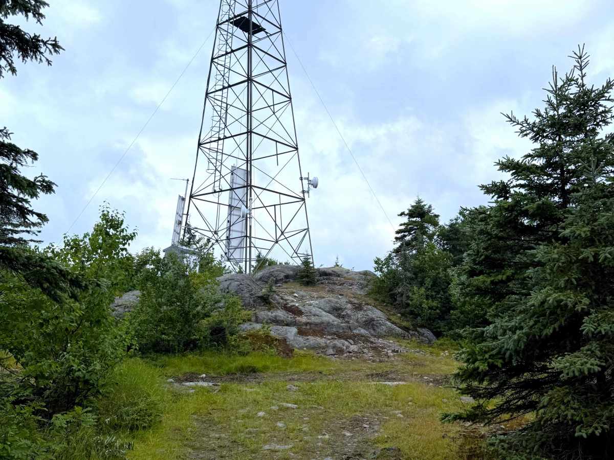
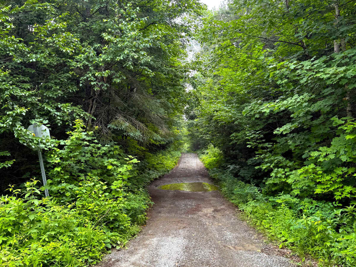
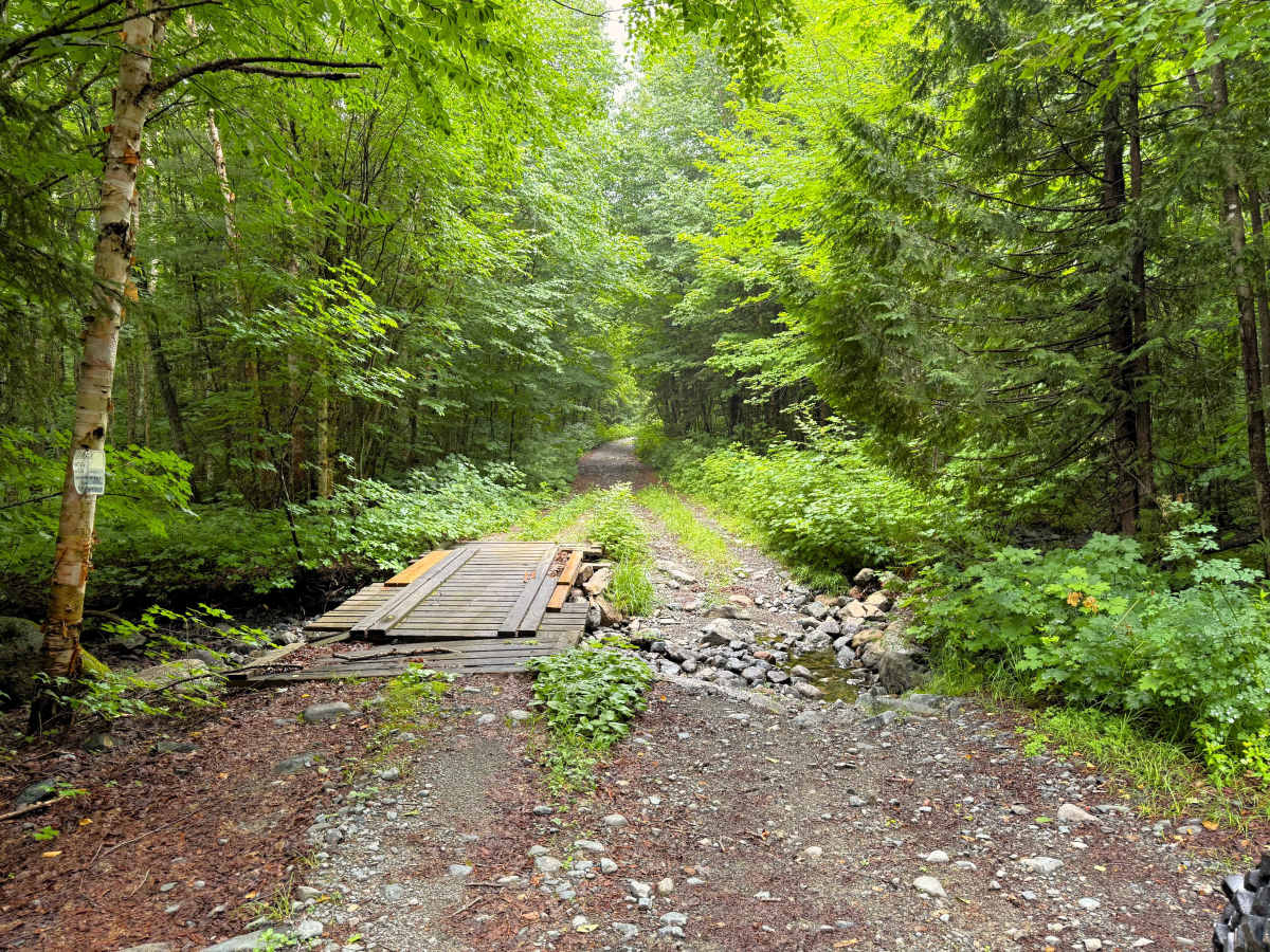
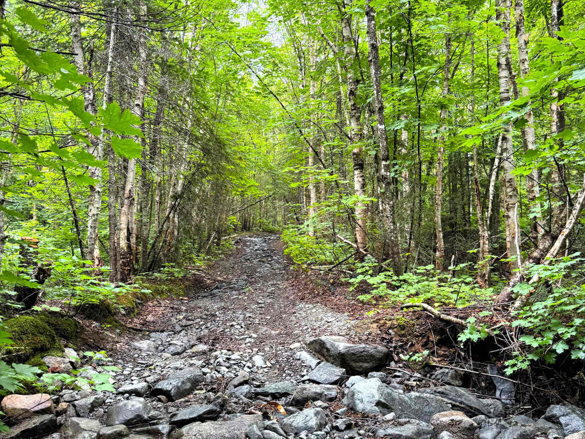
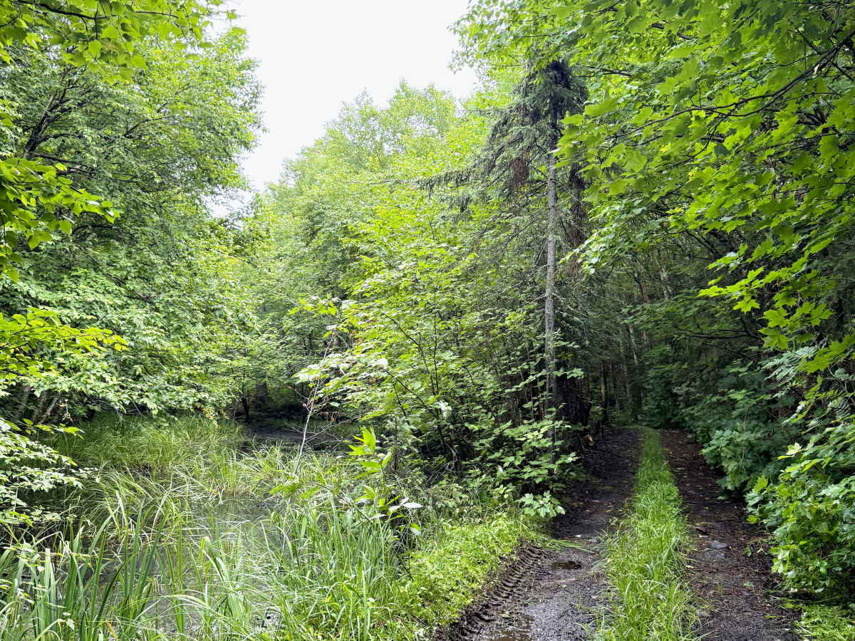
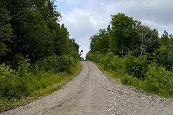
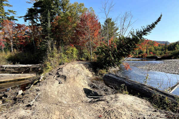
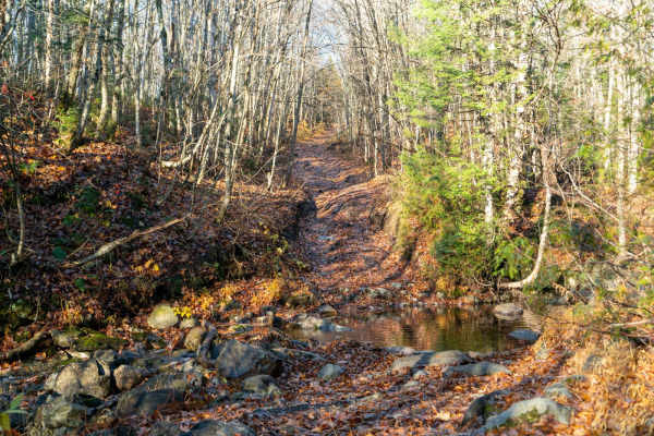
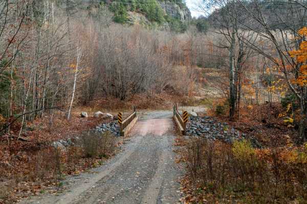
The Batchawana Fire Tower Trail winds approximately 6 km through the forest while steadily gaining elevation toward the lookout. The route begins as a wider dirt and gravel trail before becoming narrower and more rugged farther along. Along the way, the trail passes through low-lying wet areas, crosses a small rocky creek beside an old deteriorated bridge, and climbs through increasingly rocky terrain and exposed bedrock. Near the top, the forest begins to open up before reaching the Batchawana Fire Tower and a scenic lookout over Griffin Lake and the surrounding Algoma area.
Difficulty
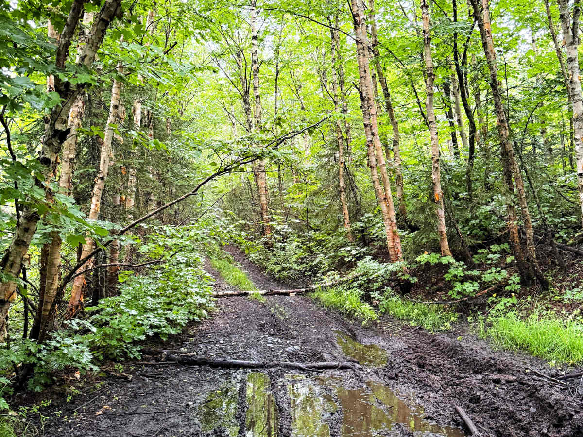
The trail is mostly dirt and gravel, with sections becoming increasingly rocky and uneven as it climbs toward the fire tower. Expect ruts, loose rock, exposed bedrock, occasional mud, and several short, steeper climbs. A deteriorated bridge requires full-size vehicles to cross the shallow, rocky creek beside it. The creek typically carries very little water, with the uneven rocky crossing presenting more of a challenge than the water itself. Overall, the obstacles are moderate and manageable with a capable 4WD vehicle and adequate ground clearance.
History
The summit is approximately 650–656 meters above sea level and is among Ontario's higher elevations.