Lingham Hydro Line

Total Miles19.3
Technical Rating
2Easy
Best TimeWinter, Fall, Spring, Summer
Trail TypeFull-Width Road
Accessible By
Open Trail Map

Trail Overview

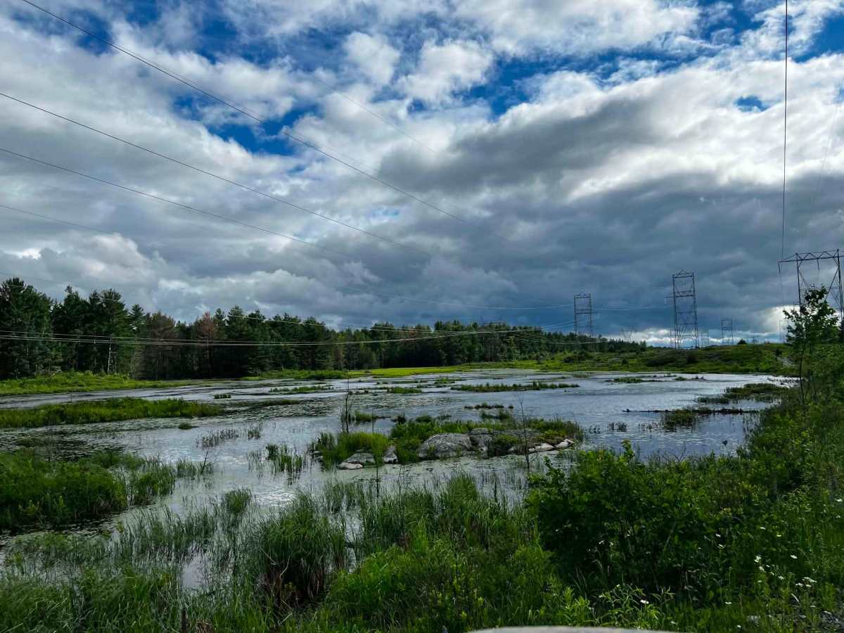
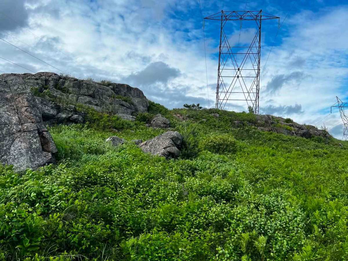
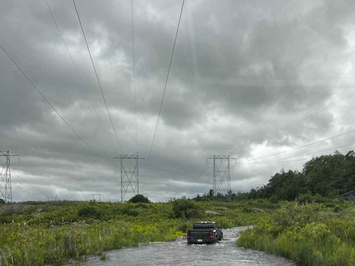
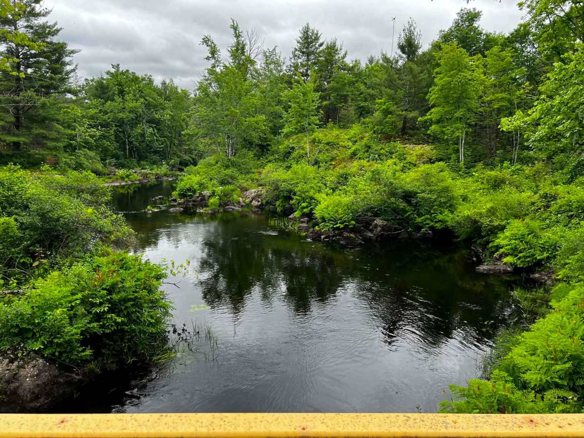
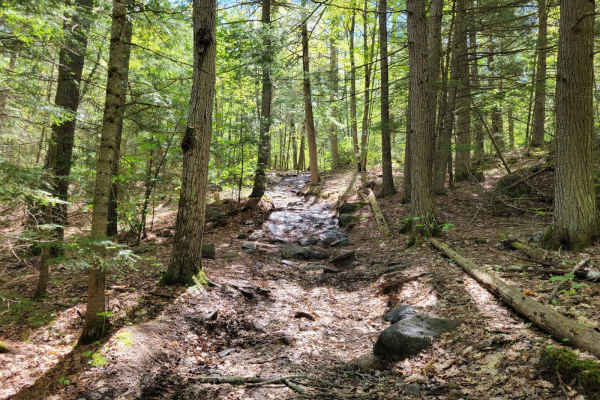
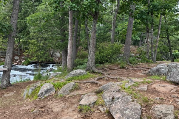
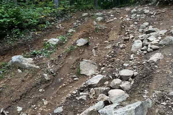
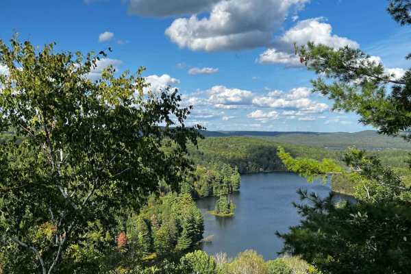
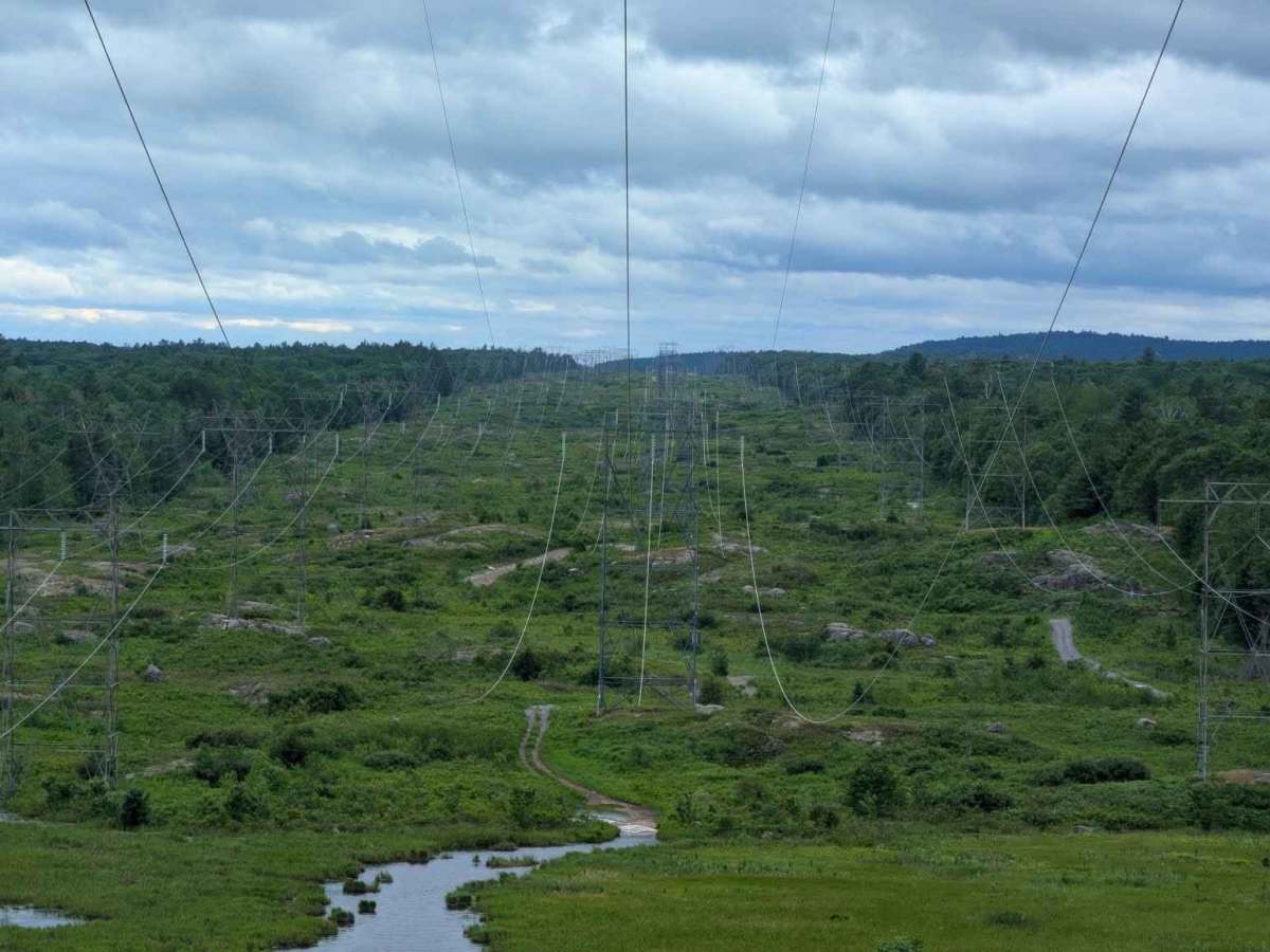
A challenging off-road trail running along a hydro corridor in Hastings County, Ontario, featuring deep mud, rugged bedrock, and scenic wetlands between Highway 62 and Highway 41.

Photos of Lingham Hydro Line

Difficulty

Nicely maintained, long beautiful stretch with nice views. Winter will greatly increase this rating.

Technical Rating

2

Lingham Hydro Line Trail can be accessed by the following ride types:

  • Single Track
  • 50 Inch
  • 60 Inch
  • High Clearance
  • Full Width

Access Description

The trail is located on public Crown land and utility corridor right-of-ways. While there are no access fees, users must ensure their vehicles are properly registered and insured. It is highly recommended to avoid the trail during the spring thaw or periods of heavy rain to prevent excessive trail damage and to ensure safe water crossing depths.

Lingham Hydro Line Map

The onX Offroad Difference

onX Offroad combines trail photos, descriptions, difficulty ratings, width restrictions, seasonality, and more in a user-friendly interface. Available on all devices, with offline access and full compatibility with CarPlay and Android Auto. Discover what you're missing today!

Open Trail Map