Trail Overview
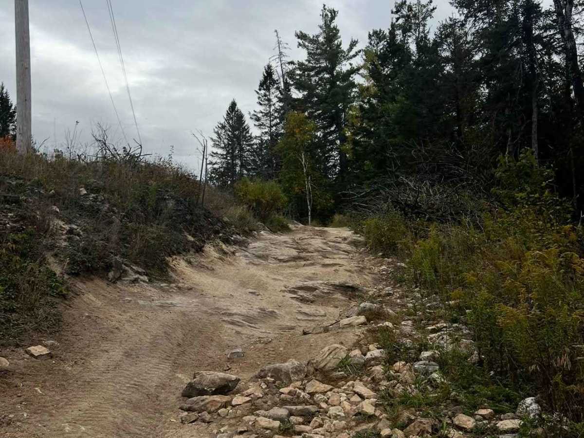
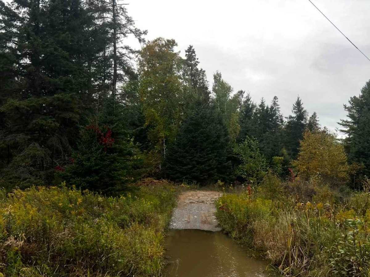
South to North allows the trail to unfold and get more difficult as you progress. This also has you descending the hardest obstacles later on the trail. Starting with the North end will put you through the gauntlet right away; this direction can increase the difficulty on certain obstacles. Near the South end of the trail, there is a water crossing in which you make a turn in the water. This is quite easy if you stay nice and wide; if you try to go in too tight, it gets very deep. Most of the trail is relatively simple to navigate with decent clearance and tires, but you WILL receive bush rash. There is a section midway through where you dip East off of the hydro line and then immediately loop back. It is important to catch your turn here, or you will end up on another trail. At the end of your adventure, the North end opens at a large sandy area. You can technically continue a short period from here, but the exit is gated.
Difficulty
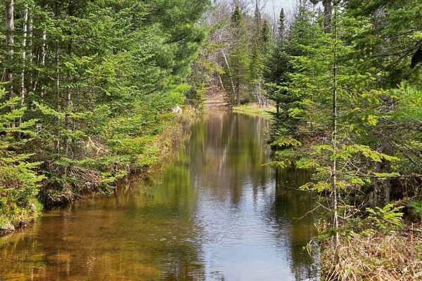
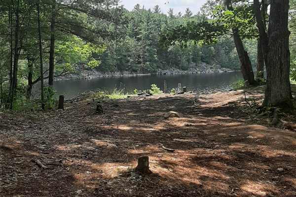
This trail has a little bit of everything. Lake Campsite, Water Crossings, rock gardens, ledges, and off-camber areas. You have a mix of open hydro line and navigating tight forest sections that require finesse. The section near Ties Lake has a few notable obstacles that do not have by-passes, that may rival more of a level 7 depending on vehicle. Extreme caution is needed in the early winter season, as traction goes out the window
History
Well worth going to check out Petroglyph Provincial Park; it is essentially next door to the trailhead on Northey's Bay Rd. Largest known concentration of Indigenous rock carvings (petroglyphs) in Canada, depicting turtles, snakes, birds, humans, and more; this sacred site is known as “The Teaching Rocks”




 Offroad