Trail Overview
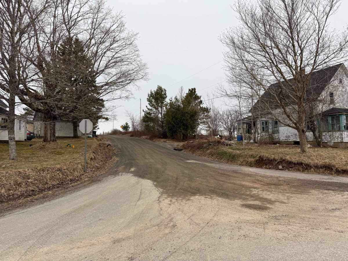
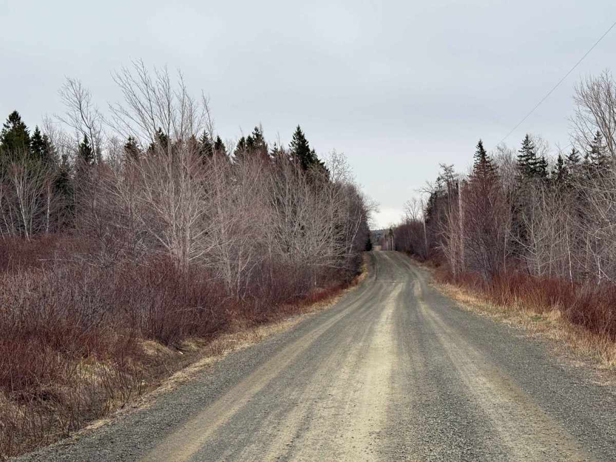
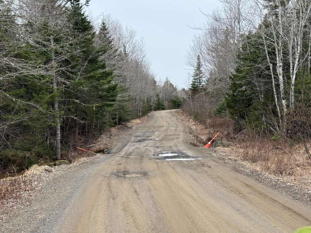
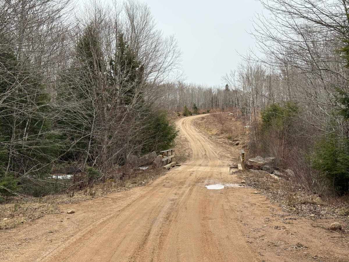
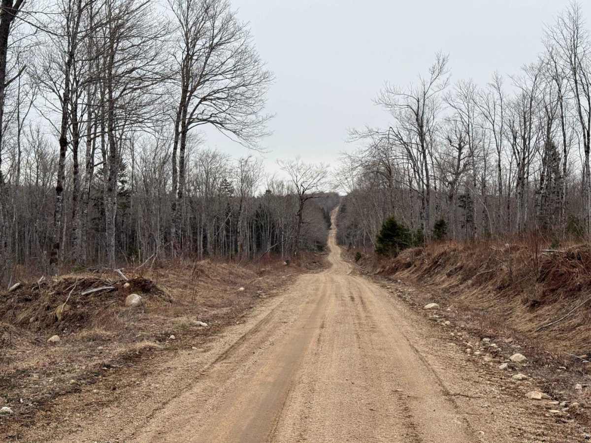
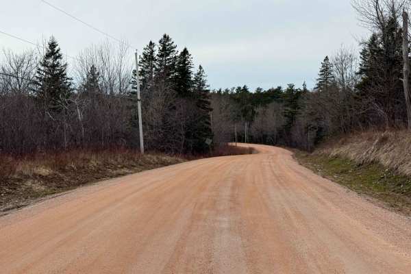
Starting at the north end at West Dalhousie Road, the Thorne Road Trail begins as a residential road. Be courteous and obey signage. This section can be rough with some potholes and washouts near bridges, and you should watch out for active logging. As you enter Crown Land, the road becomes a well-maintained single lane of hard-packed dirt. It's an easy and beautiful drive, but be cautious of washouts and fallen trees.
History
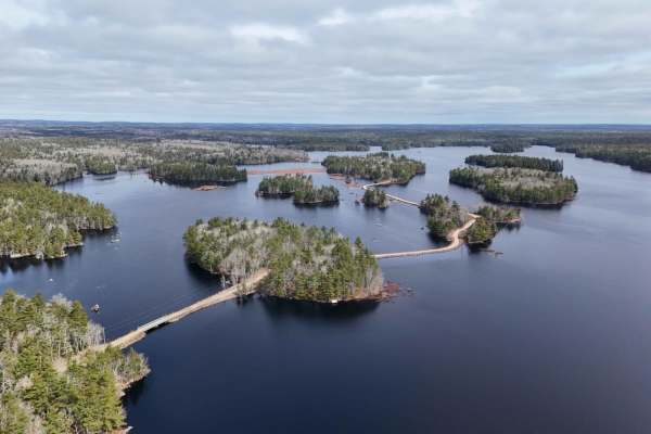
The 19th and 20th centuries saw the rise of the logging industry in Nova Scotia. Companies like Mersey Paper Company Limited constructed roads and clear-cut forests to access timber resources. By the 1970s, significant portions of the upland forests were harvested, though some old-growth stands persisted. Thorne Road Trail originated as a logging access route during this period, facilitating the transportation of timber from the interior forests to processing facilities. In recent years, efforts have been made to preserve the ecological integrity of this region. The Medway Lakes Wilderness Area, encompassing over 19,000 hectares, was established to protect its diverse ecosystems, including old-growth forests, wetlands, and interconnected lakes and rivers. This designation followed the acquisition of lands formerly owned by Bowater Mersey Paper Company by the Nova Scotia government in 2012. Today, Thorne Road provides access to this protected area, offering opportunities for outdoor recreation such as canoeing, hiking, and wildlife observation. The road's transformation from a logging route to a gateway for conservation and recreation reflects the region's evolving relationship with its natural resources.