Plane Crash Trail

Total Miles8.6
Technical Rating
1Easy
Best TimeFall, Summer, Spring
Trail TypeFull-Width Road
Accessible By
Open Trail Map

Trail Overview

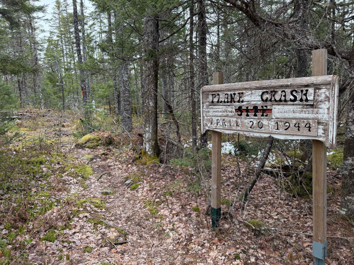
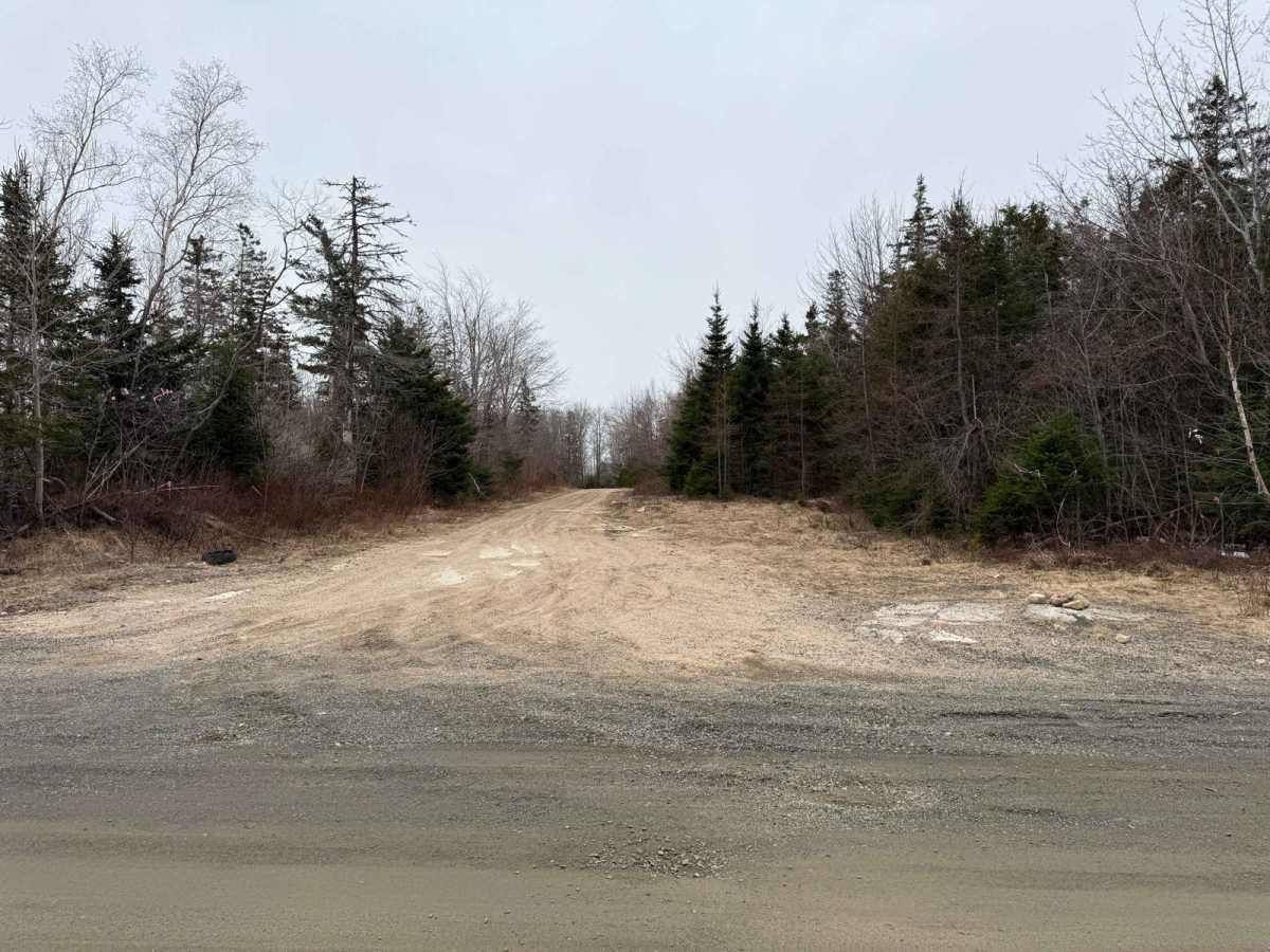
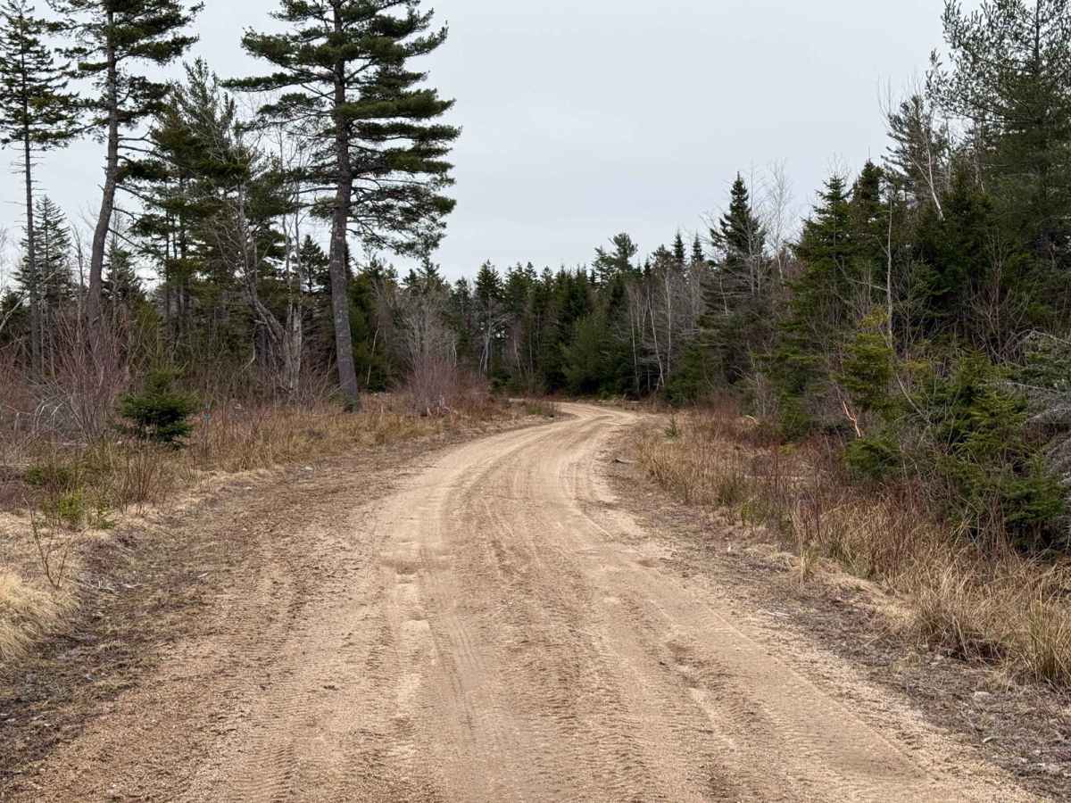
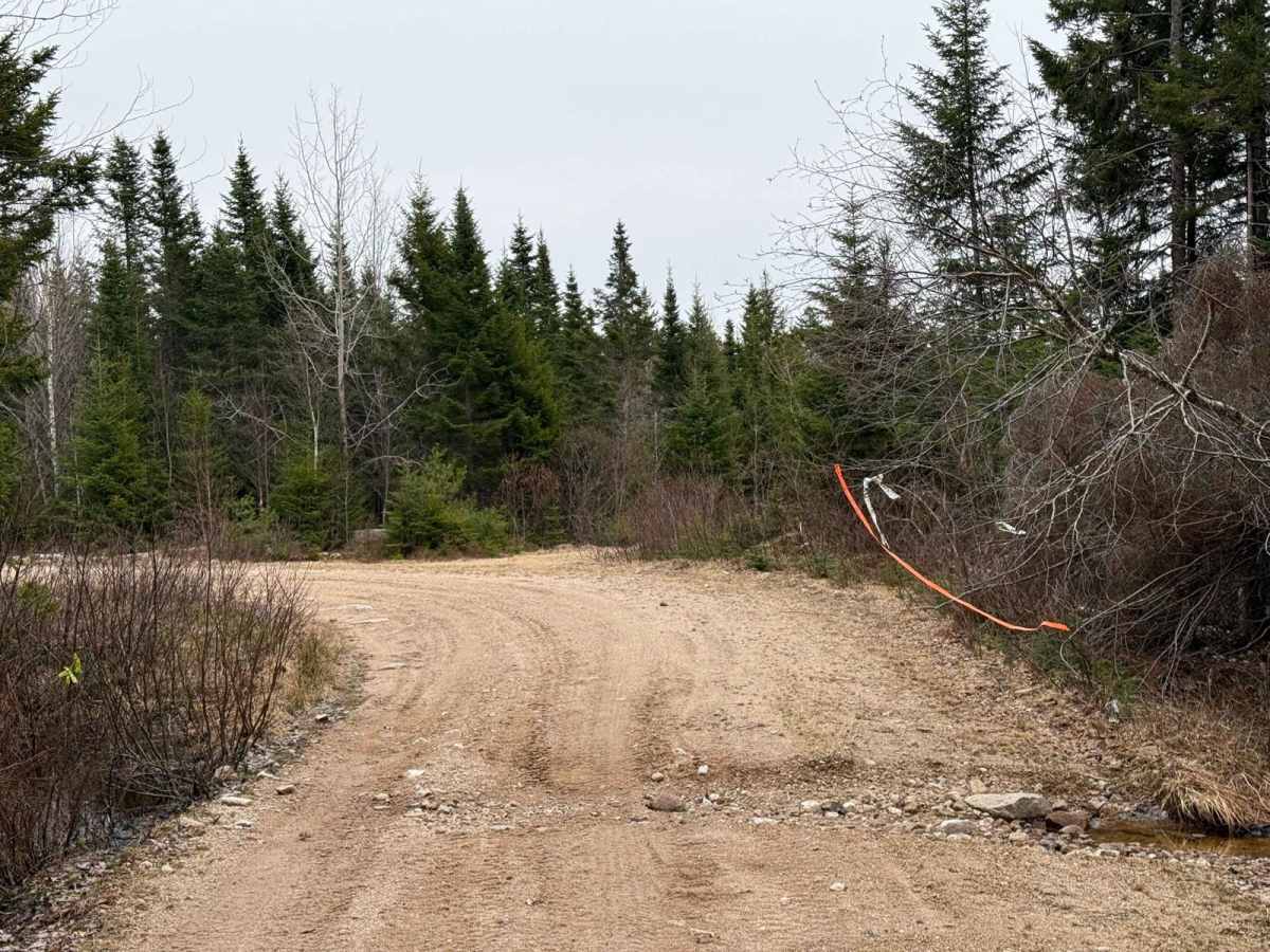
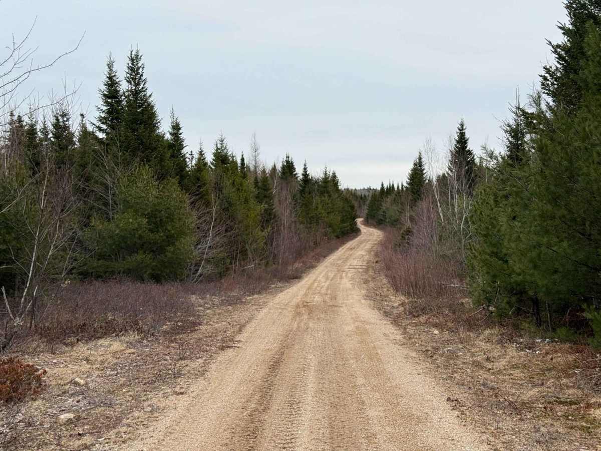
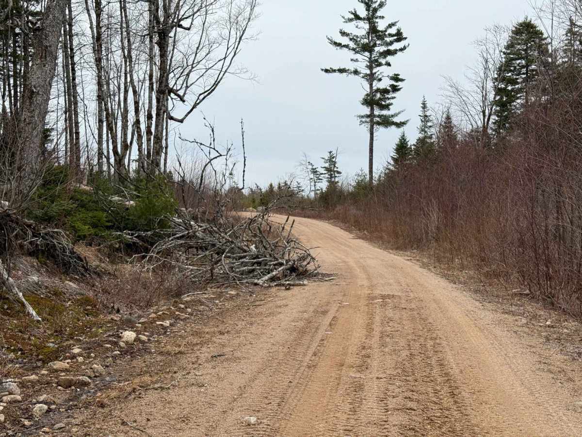
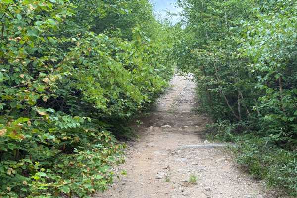
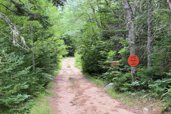
Starting at West Dalhousie Road, Plane Crash Trail is a consistently hard-packed single-lane dirt road with a loose sandy top. Be cautious of small washouts and fallen trees along the way. The main attraction is the WWII plane crash site at the halfway point, offering a unique historical landmark for visitors.

Photos of Plane Crash Trail

Difficulty

An easy single-lane road with some sandy spots and small washouts. Be cautious of fallen trees.

History

The plane crash near West Dalhousie Road involves a WWII-era Mosquito KB126 aircraft. On April 20, 1944, the plane crashed approximately 12 miles SSE of Bridgetown, NS. The crash resulted in the deaths of the pilot, P/O James Gerald Brown, and the navigator, F/O Hugh Edward McCann. The aircraft was scrapped on site, which was common for Mosquito crashes due to their damaged wooden airframes.

Technical Rating

1

Plane Crash Trail Trail can be accessed by the following ride types:

  • Single Track
  • 50 Inch
  • 60 Inch
  • High Clearance
  • Full Width

Plane Crash Trail Map

The onX Offroad Difference

onX Offroad combines trail photos, descriptions, difficulty ratings, width restrictions, seasonality, and more in a user-friendly interface. Available on all devices, with offline access and full compatibility with CarPlay and Android Auto. Discover what you're missing today!

Open Trail Map