Trail Overview
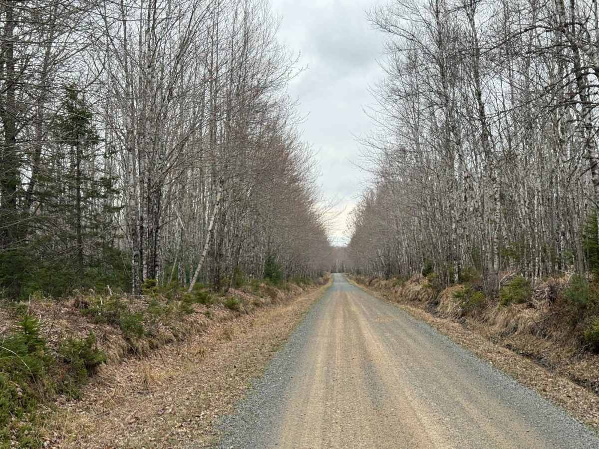
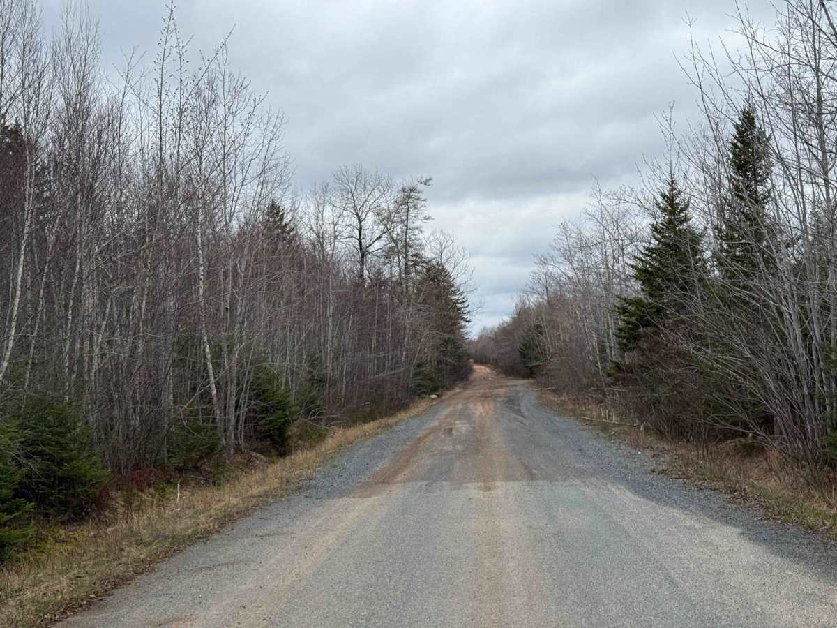
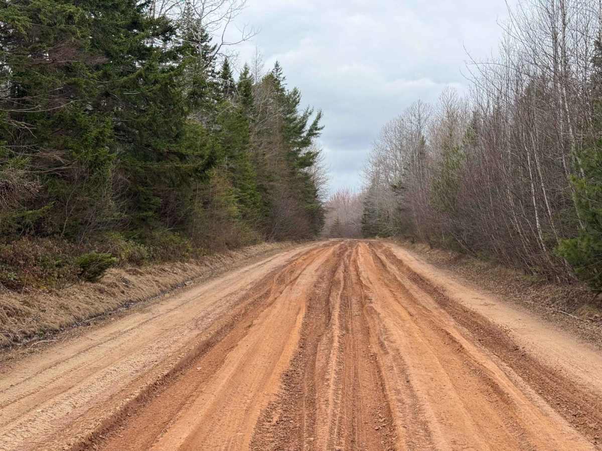
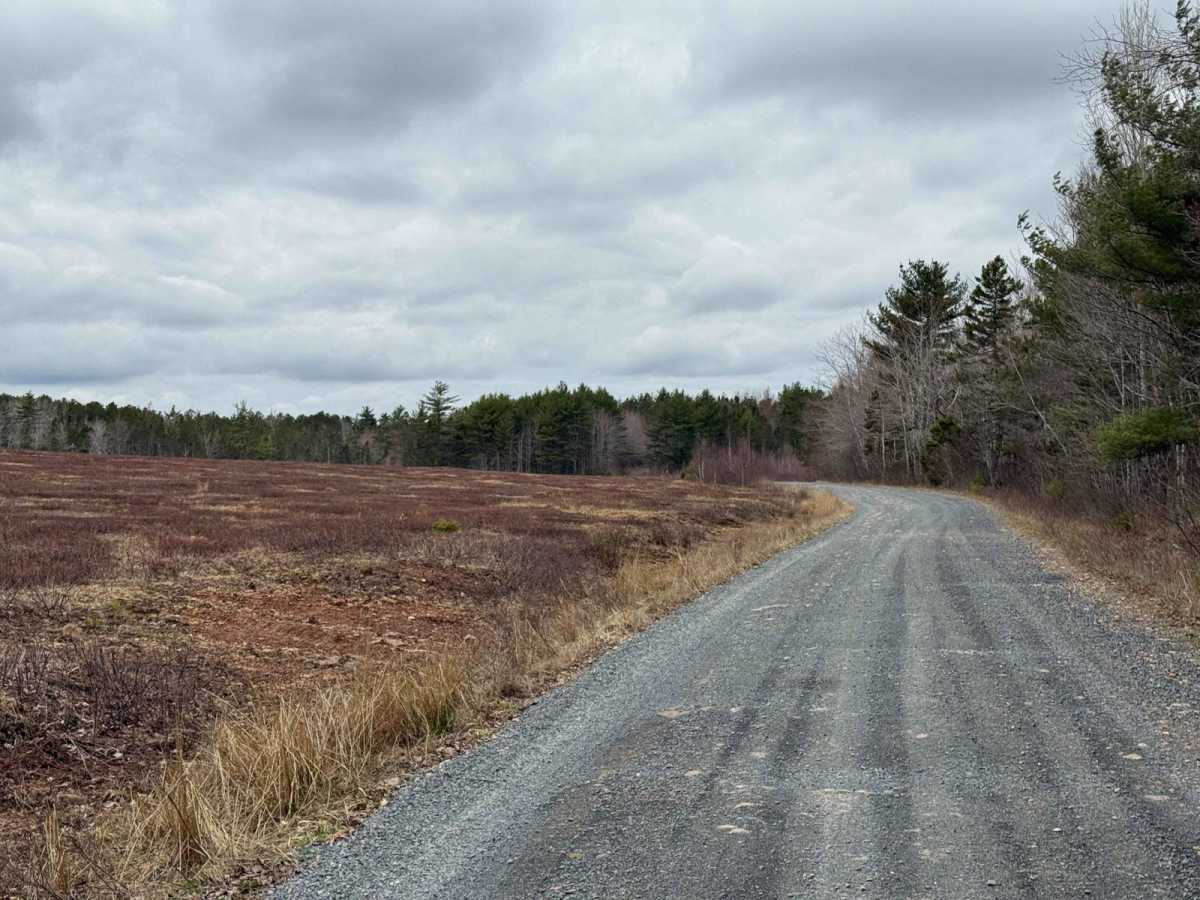
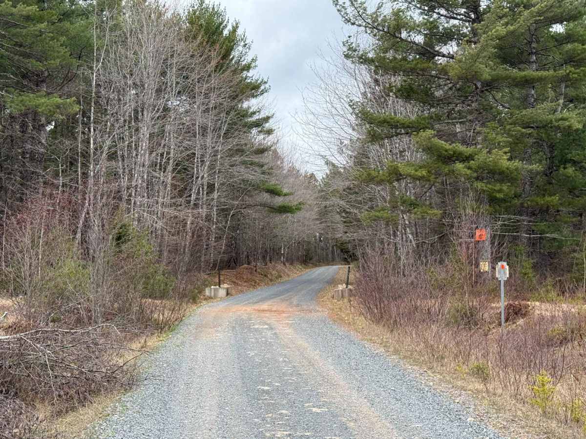
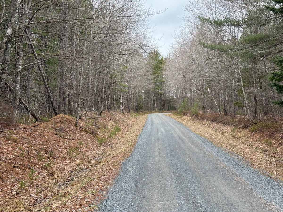
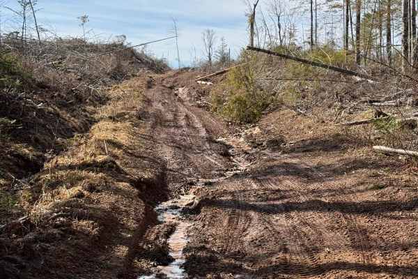
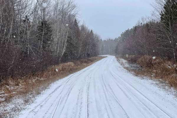
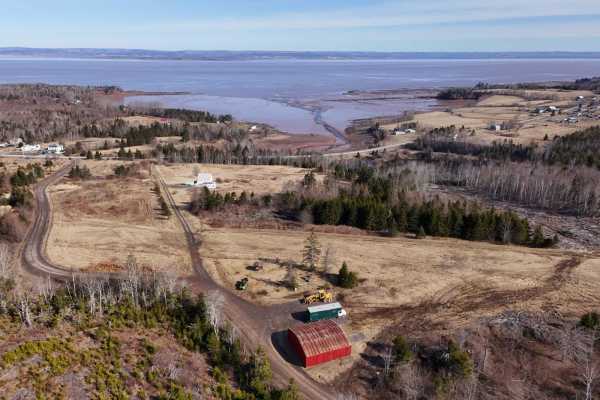
Starting from Highway 354 in Noel Road, just north of Kennetcook, the trail begins with a 4km stretch along Colbert Road, a residential street. This initial section features a rough, hard-packed dirt surface. The road transitions to smooth, fast gravel as you pass the scenic blueberry fields and enter Nova Scotia Crown Land. At Wet Meadow Road, Colbert Road ends, and Straight Road begins. These roads were once separate but have since been joined, with no discernible change in direction. Straight Road was built sometime after Colbert Road and extends to Stanley Airport Road. Be mindful of potential washouts after rain, muddy ruts, loose gravel, and dust. The trail narrows in some areas, but vehicles can pass with caution.
History
This trail is located in the historic Douglas Township, an area rich in history. The section from Highway 354 to Wet Meadow Road is named Colbert Road after Isaac Colbert, who was granted land near Highway 354 between 1750 and 1850. In 1854 and 1855, Colbert applied for and was granted two Crown Land grants at the intersection of Colbert Road, Straight Road, and Wet Meadow Road. Douglas Township, established in 1784, was originally settled by Loyalists and veterans of the 84th Regiment of Foot (Royal Highland Emigrants) after the American Revolutionary War.Today, the area that was once Douglas Township is part of the Municipal District of East Hants. It encompasses the communities of Kennetcook, Gore, Noel, and Maitland. These communities continue to reflect the rich heritage and historical significance of the region, offering a blend of rural charm and historical landmarks.