Trail Overview
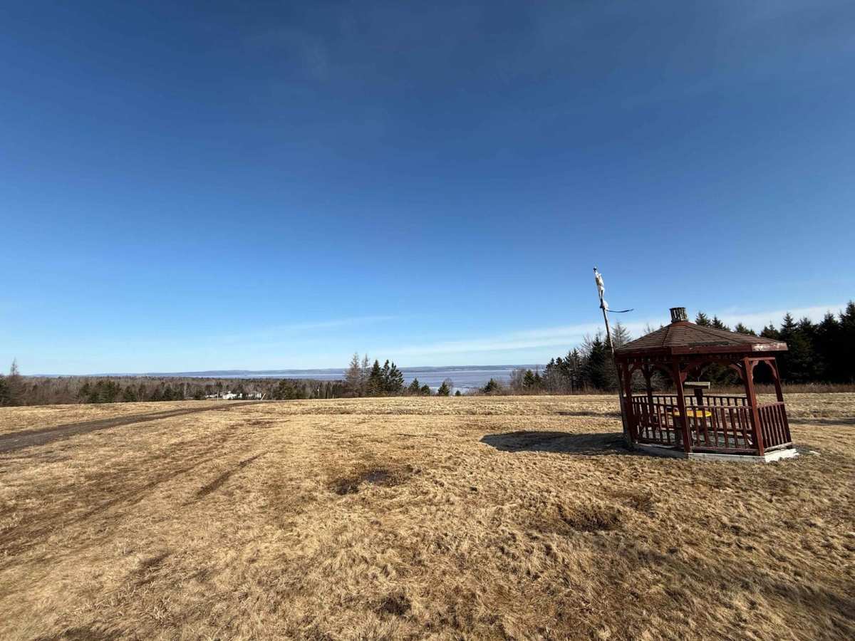
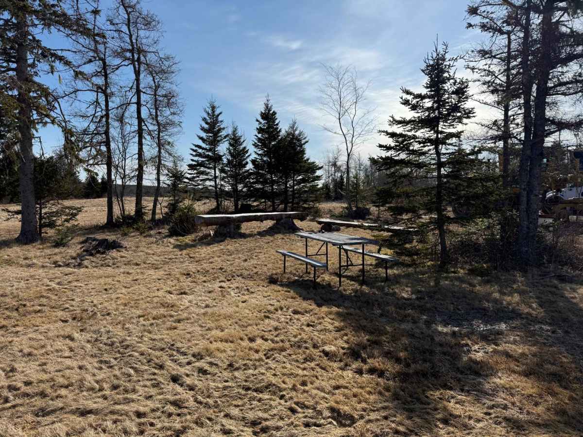
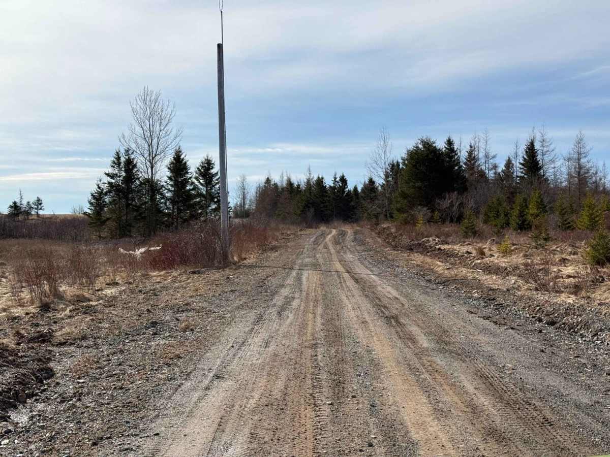
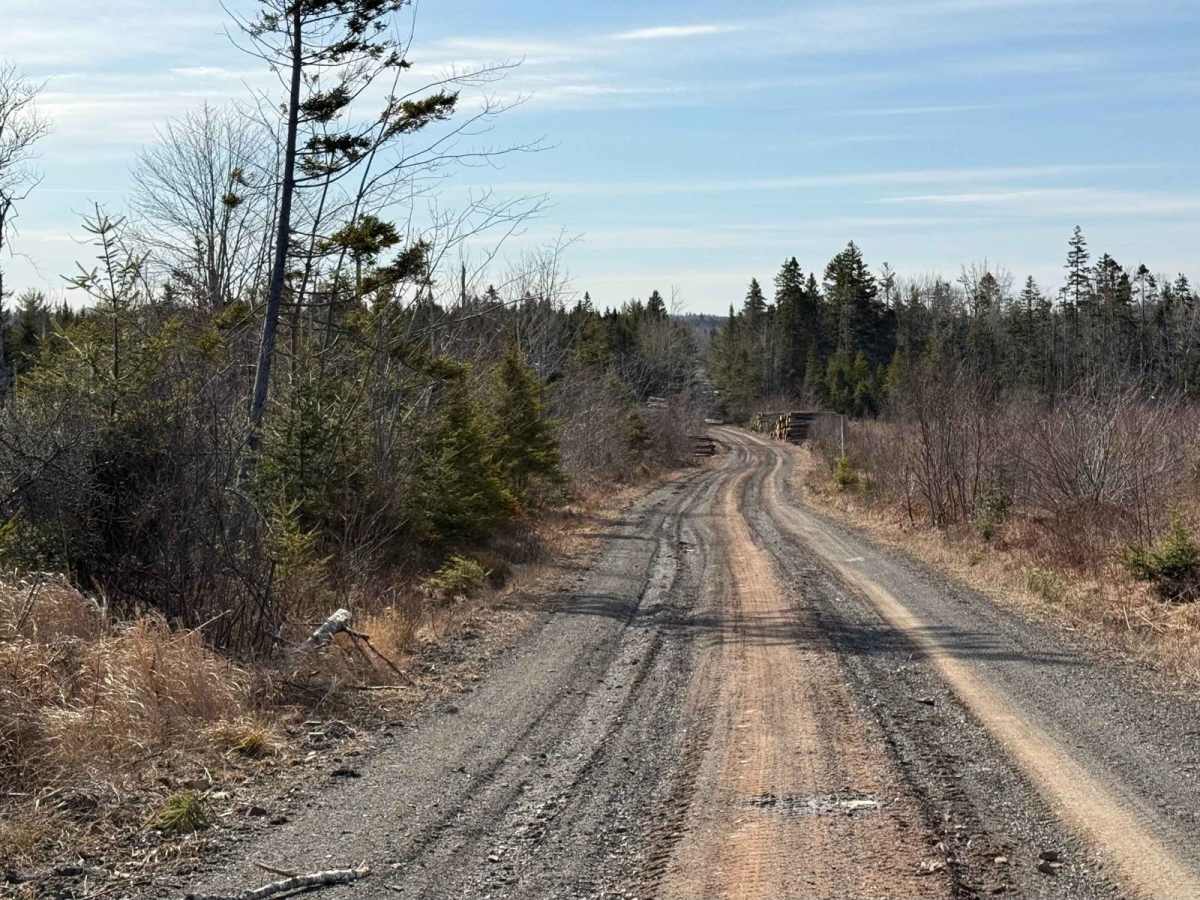
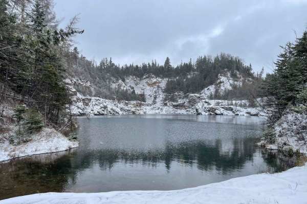
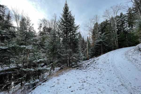
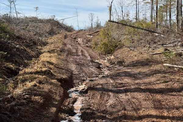
Airport Lane is an excellent starting or ending point for an off-roading adventure in the Nova Scotia Crown Land between Walton and Kennetcook. The north end of Airport Lane begins in Tennecape, where the old grassy airport area features a gazebo and benches overlooking the Bay of Fundy, perfect for a picnic or rest stop. Don't forget to sign the guest book! From there, Airport Lane heads south as a hard-packed dirt logging road, providing access to numerous trails within the Crown Land. Be mindful of washouts and slick mud after rain, but overall, it's an easy and enjoyable start or end to your adventure. Tennecape, Nova Scotia: Nestled in Hants County, Tennecape boasts a rich Acadian heritage dating back to the 17th century. Originally settled by Acadians, the community faced displacement during the Great Expulsion of 1755. The area later flourished with a thriving gypsum mining industry in the 19th and early 20th centuries. A notable historical event was the tragic murder of 16-year-old peddler Lion Lundore in 1902, marking the first documented murder in Hants County. Today, Tennecape remains a serene rural community, deeply connected to its historical roots.