Trail Overview
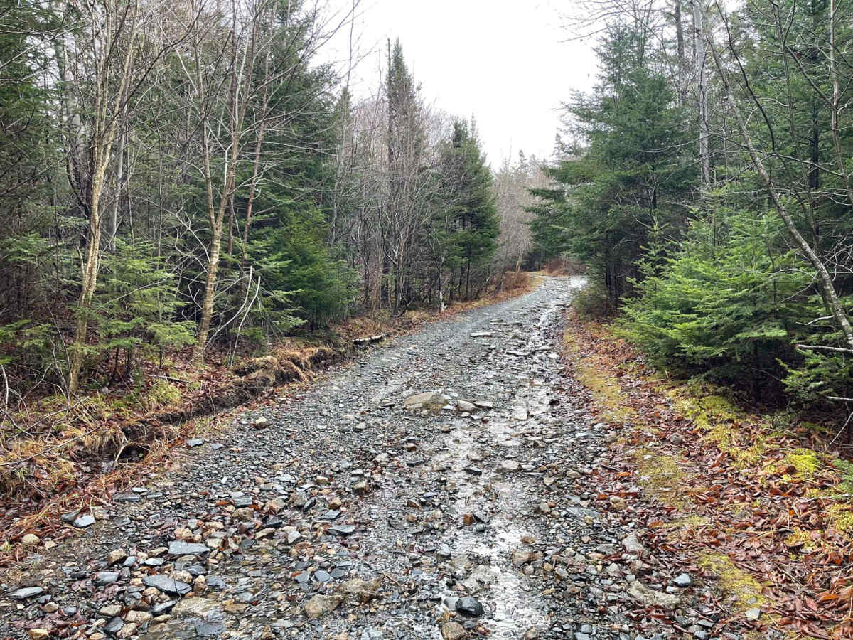
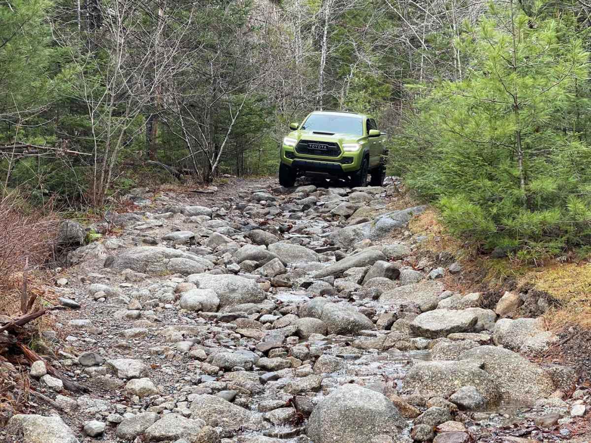
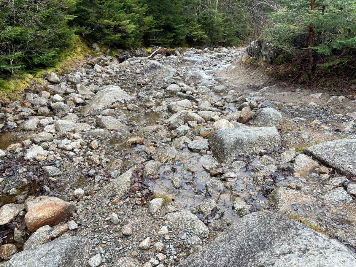
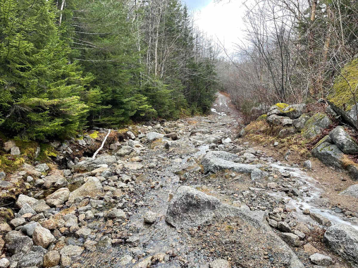
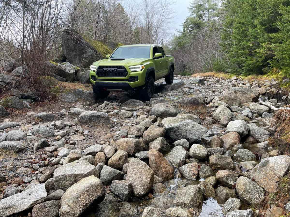
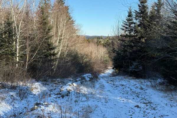
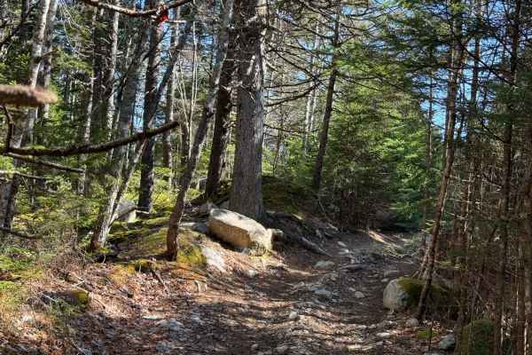
Pockwock Falls Trail, also known as Bowater Mersey to Pockwock Road, is officially named Old Kemptown Road. This primitive road in Halifax Regional Municipality is accessed from Pockwock Road in Hammonds Plains and leads to the former Bowater Mersey lands and its trail system. The trail is very washed out with large rocks, requiring careful navigation and sometimes a spotter. There are large puddles with hard bottoms that are not deep. Near the Bowater Mersey end, some minor brush clearing has made the trail decently wide for a mid-sized vehicle. It's a well-used trail for OHV and hiking, with an old mill site and waterfalls to explore. Old Kemptown Road was established in the early 1800s as part of an effort to connect Halifax to Annapolis Royal. Named after Sir James Kempt, the road facilitated the settlement of disbanded soldiers and Irish immigrants in the area, leading to the formation of Kemptown. In 1815, Black Refugees from Chesapeake, Virginia, who fought in the War of 1812, were granted lands in the community of Upper Hammonds Plains, contributing to the region's rich cultural heritage. In the mid-1800s, Kemptown became a thriving settlement based on forestry, with several mills and cooper shops operating in the area. However, by the late 1800s, the population declined due to the collapse of the Annapolis Road and the harsh living conditions. The road, now a 2.2-kilometer corridor, is owned by the Halifax Regional Municipality and serves as a hiking and off-highway vehicle trail. It runs through forested land with no residences, reflecting its historical role in connecting remote settlements. Today, Old Kemptown Road stands as a reminder of the early efforts to develop Nova Scotia's infrastructure and the resilience of its settlers.

 Offroad