Ingramport Connector

Total Miles4.5
Technical Rating
1Easy
Best TimeSpring, Summer, Fall
Trail TypeFull-Width Road
Accessible By

Open Trail Map

Trail Overview

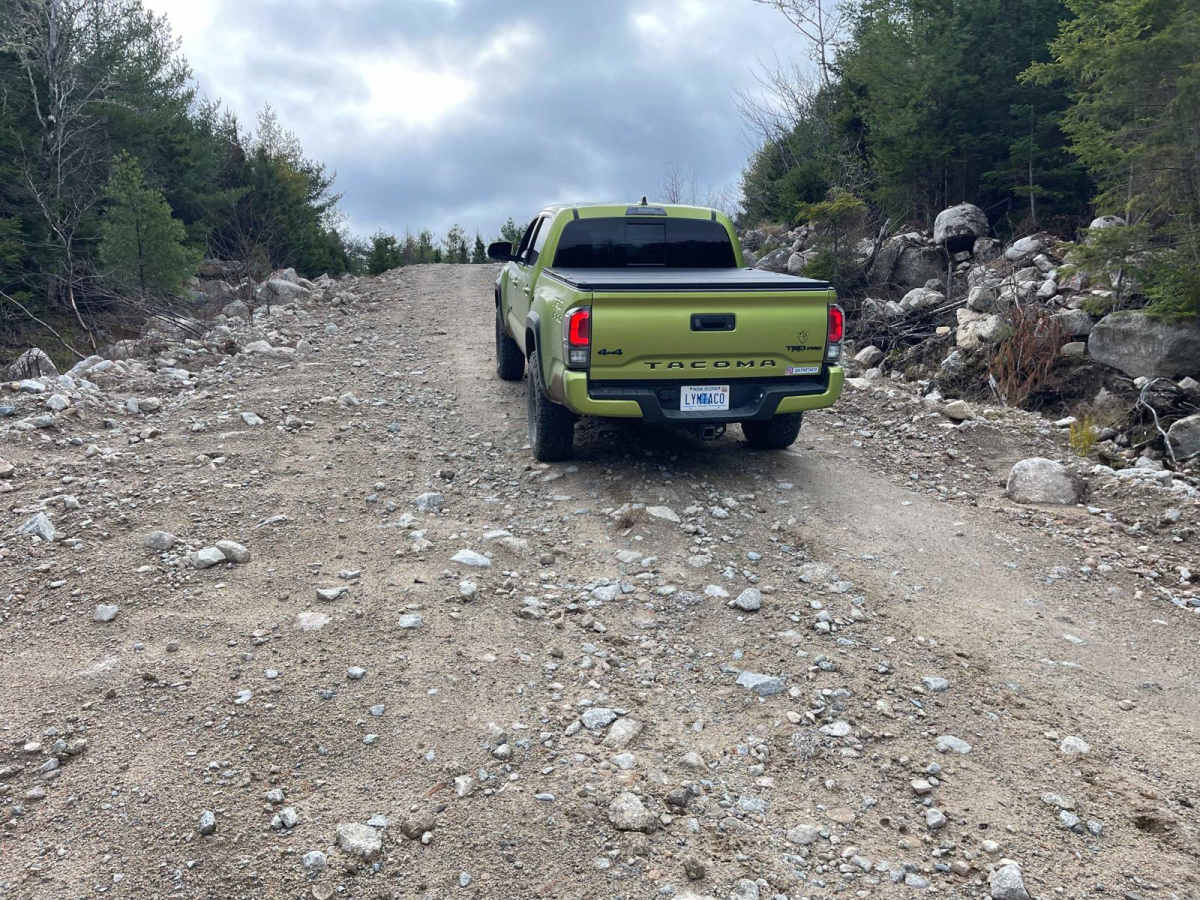
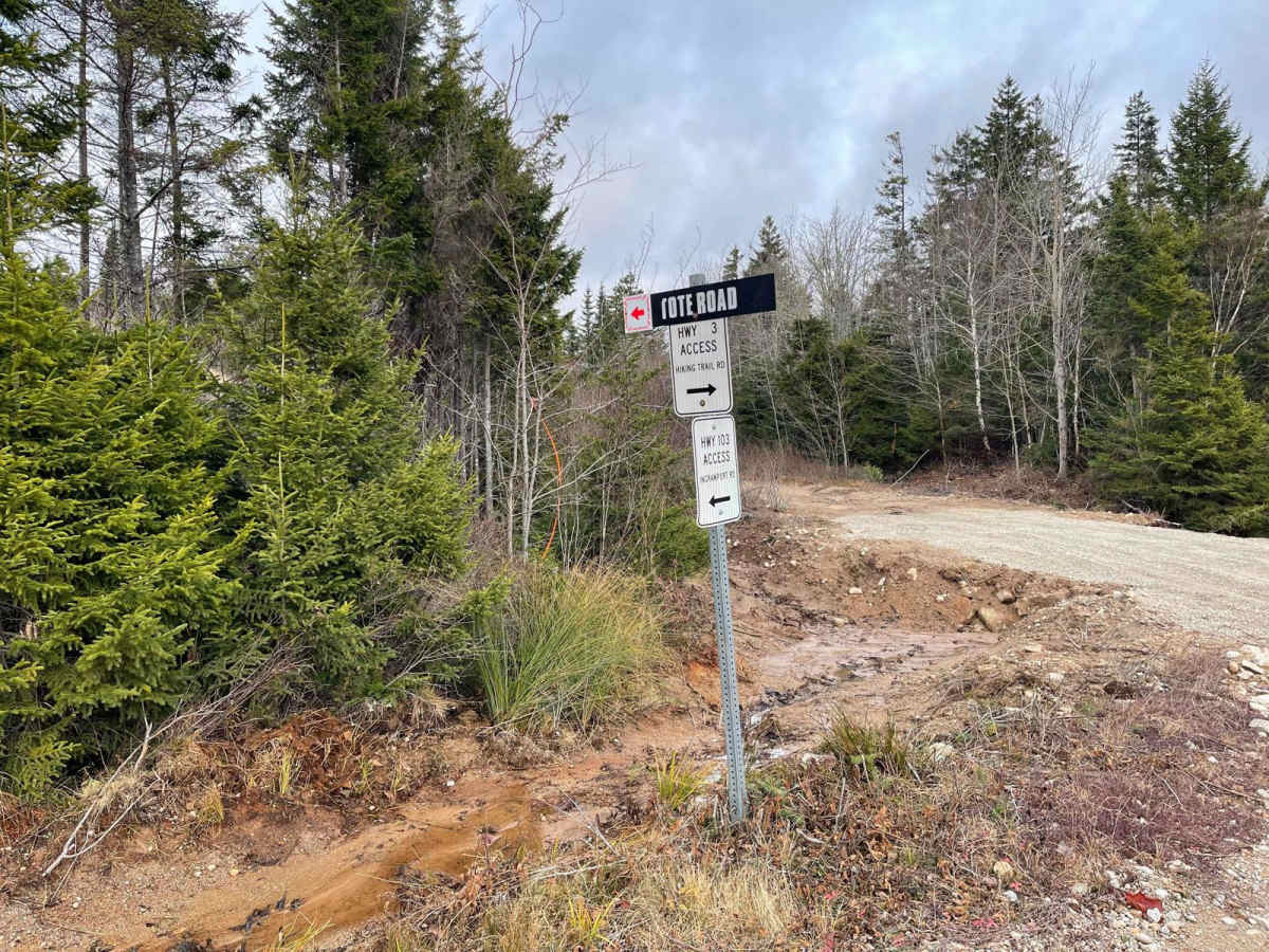
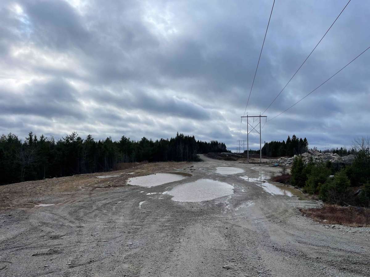
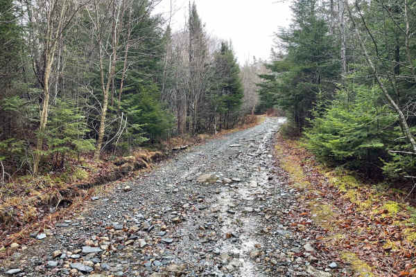
The Ingramport Connector is a two-lane gravel road running parallel to Highway 103, stretching from Ingramport Road to Hiking Trail Road. This road is essential for accessing a multitude of trails in the Mersey Trail system and is currently the quickest route to the south end of Hiking Trail Road due to a bridge outage. It offers a smooth and scenic drive through the woods, providing a pleasant journey for trail enthusiasts. The road is maintained because it is used for gravel pit access, but it may still experience washouts after heavy rain.

Photos of Ingramport Connector

Difficulty

This is a well-traveled and well-maintained two-lane gravel road.

Technical Rating

1

Ingramport Connector Trail can be accessed by the following ride types:

  • Single Track
  • 50 Inch
  • 60 Inch
  • High Clearance
  • Full Width

Ingramport Connector Map

The onX Offroad Difference

onX Offroad combines trail photos, descriptions, difficulty ratings, width restrictions, seasonality, and more in a user-friendly interface. Available on all devices, with offline access and full compatibility with CarPlay and Android Auto. Discover what you're missing today!

Open Trail Map