Trail Overview
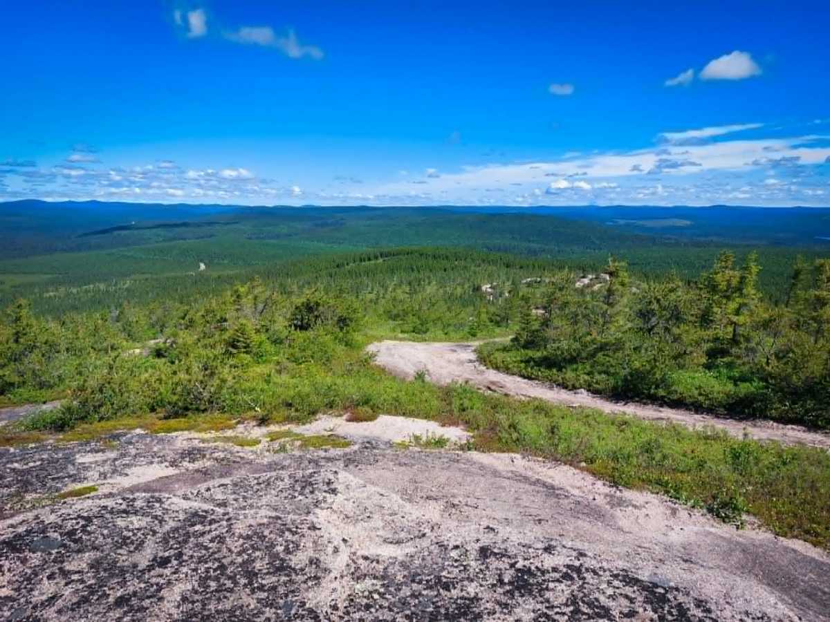
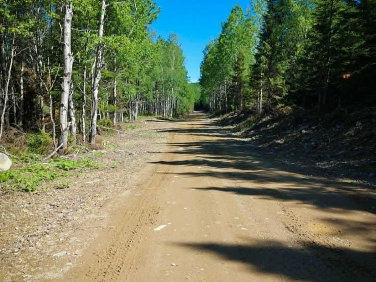
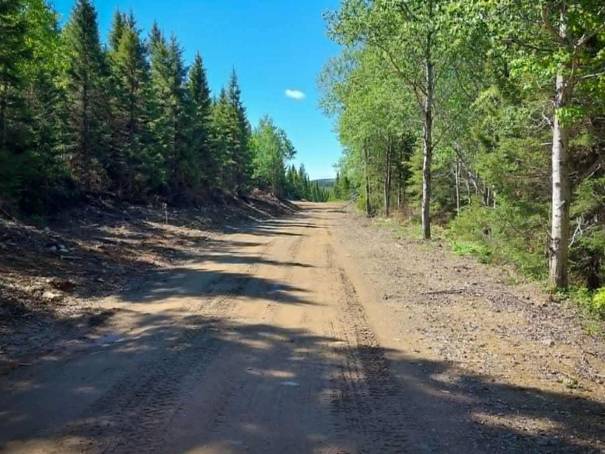
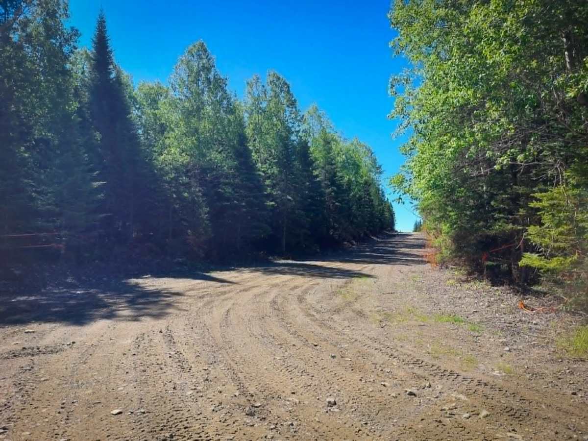
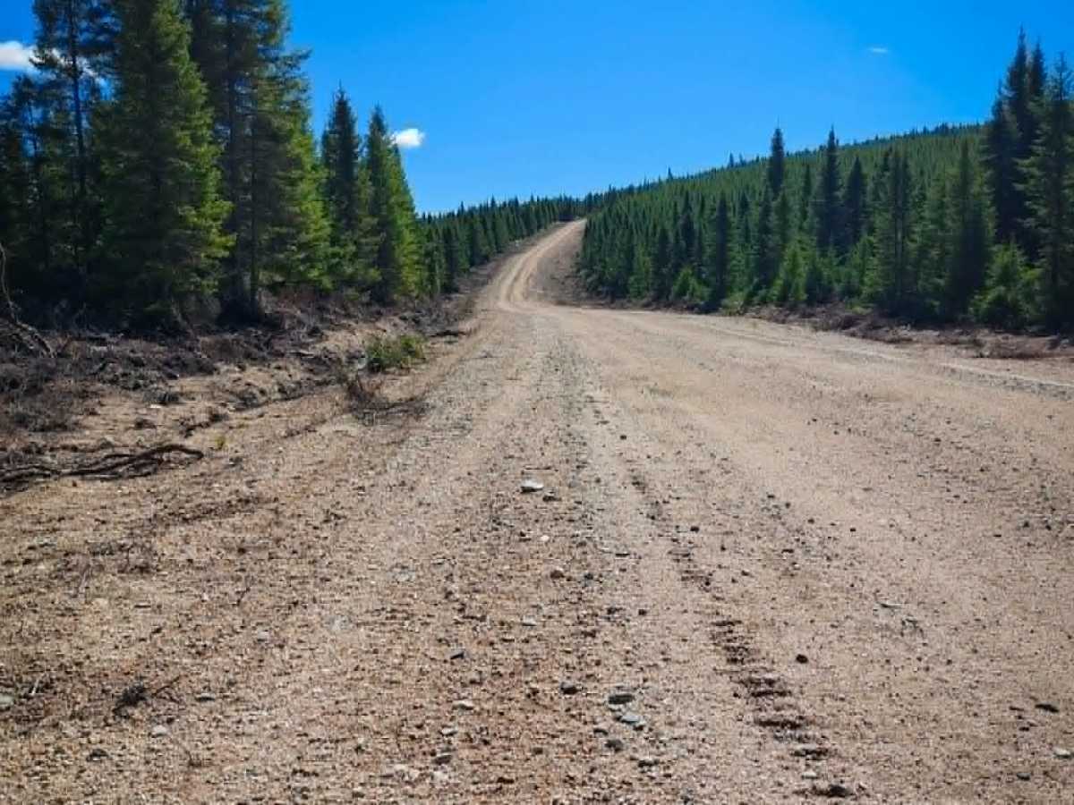
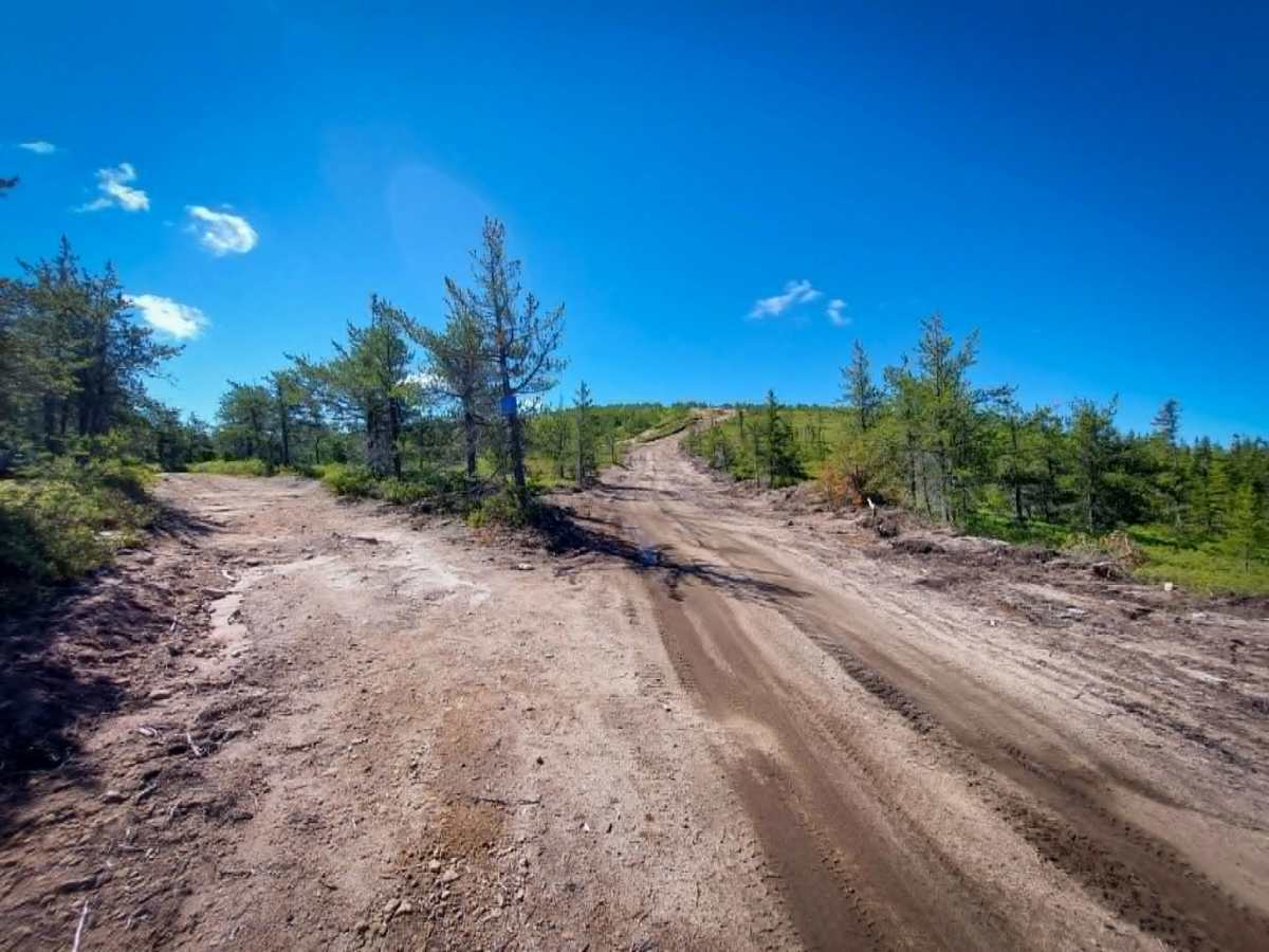
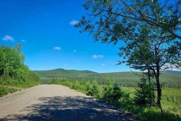
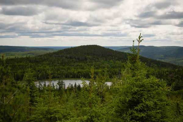
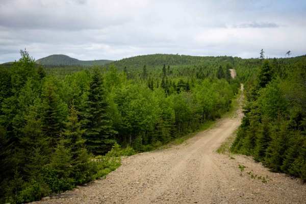
Big Bald Mountain Road is a gravel road with several narrow sections where only one vehicle can pass at a time. The road was graded in 2025 and, as of spring 2026, was generally in good condition and easy to navigate. However, the final stretch to the summit is quite steep and may require a four-wheel-drive vehicle when conditions are wet or muddy. At the top, cellular service is available, and on a clear day, visitors are rewarded with breathtaking panoramic views of Northern New Brunswick's vast wilderness. Indeed, the top of the mountain is "bald"!
History
The mountain’s most defining feature—and the source of its name—is its completely exposed, treeless granite summit. While it isn’t high enough to sit above a true latitudinal tree line, the mountain's intense exposure to harsh weather, severe winter winds, and poor, shallow soil prevents large trees from taking root at the top. Because of this sweeping, unobstructed view, the summit became a critical asset for early 20th-century forest conservation as a permanent fire-spotting lookout station.