Airstrip Road

Total Miles20.8
Technical Rating
1Easy
Best TimeSpring, Summer, Fall
Trail TypeFull-Width Road
Accessible By
Open Trail Map

Trail Overview

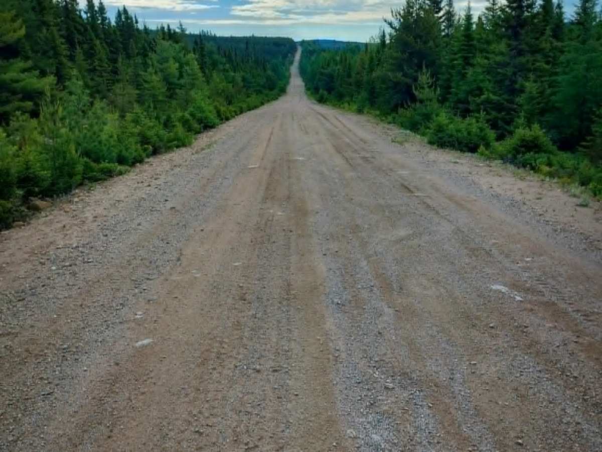
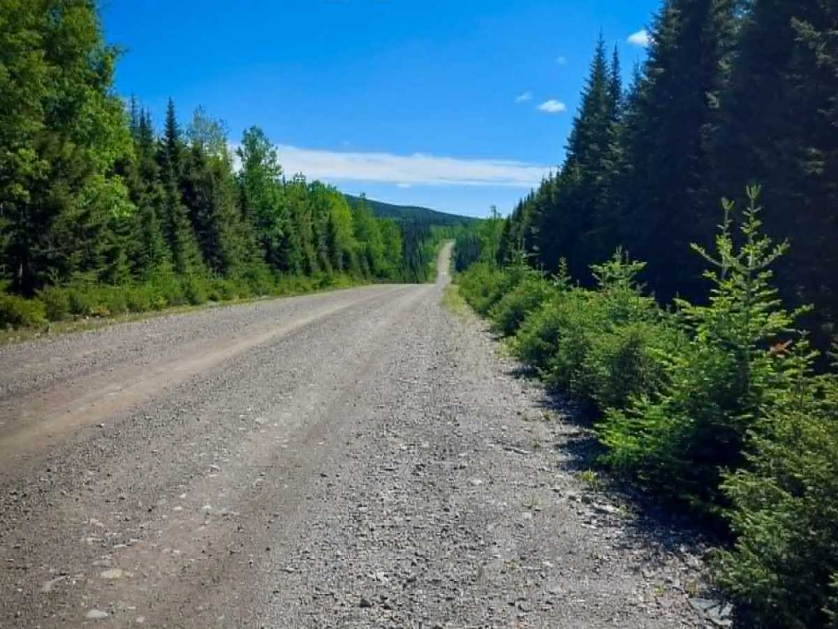
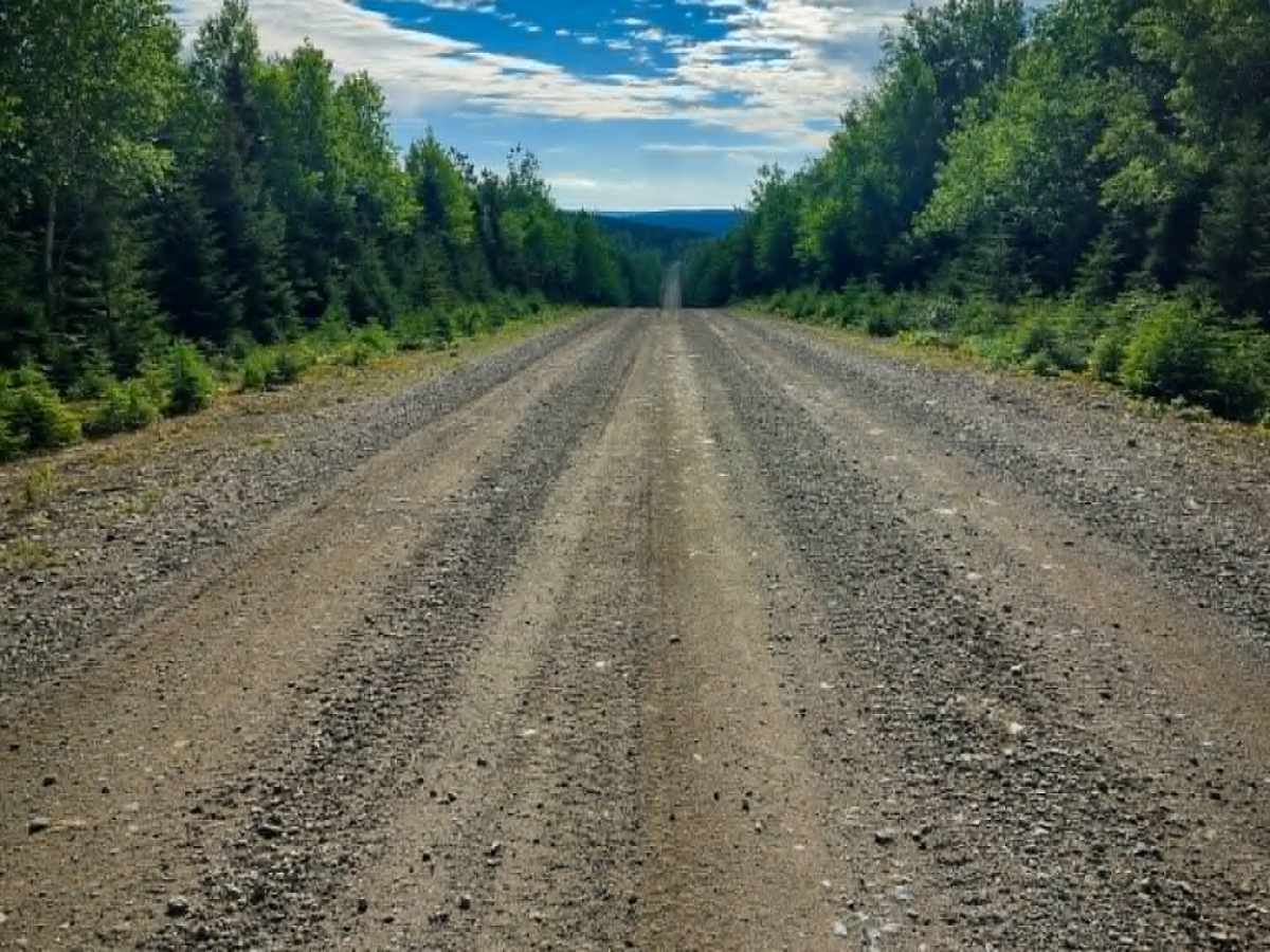
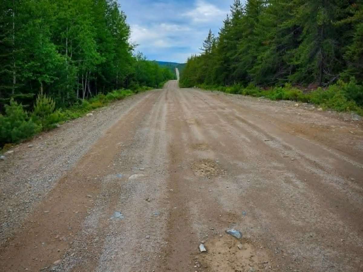
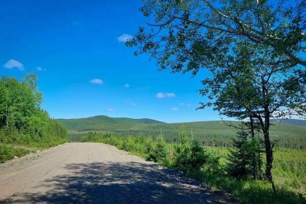
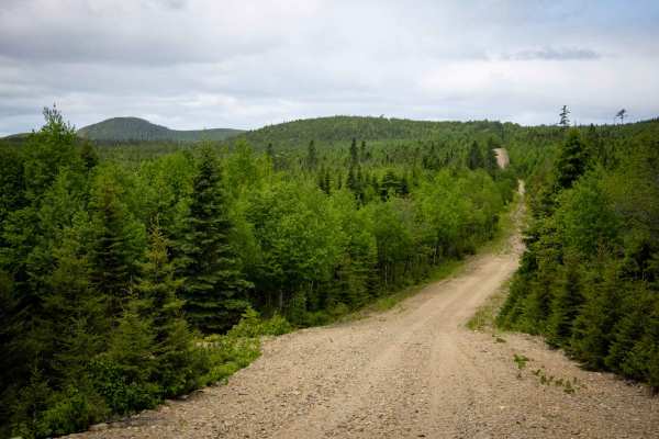
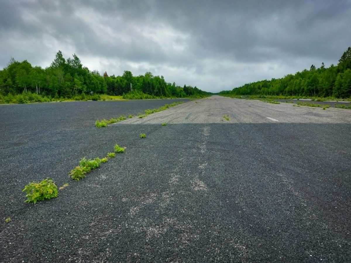
Airstrip Road, together with Fraser Burchill Road, provides a maintained route between Miramichi and Popple Depot. The road is wide enough for two vehicles to pass and has small potholes and many blind hills. It offers access to the Sevogle Airstrip, a remote airstrip originally built to support forestry operations rather than passenger travel. Now operated by the New Brunswick Department of Natural Resources, the airstrip features a 945-metre runway that can support forestry activities. It was noted that the company Interfor had a road sign towards the South Branch River Road end with "Nepisiquit Road" on it.

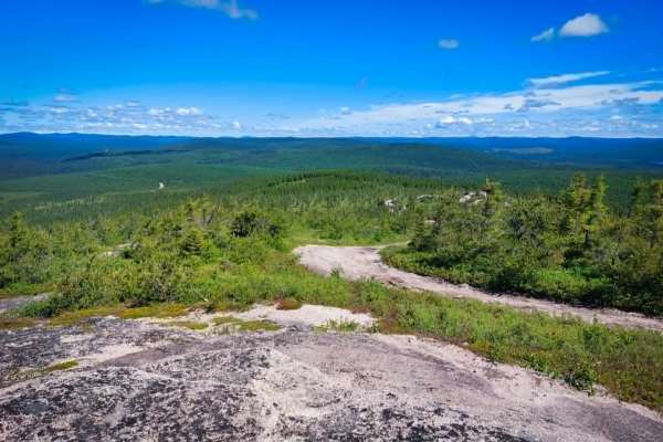
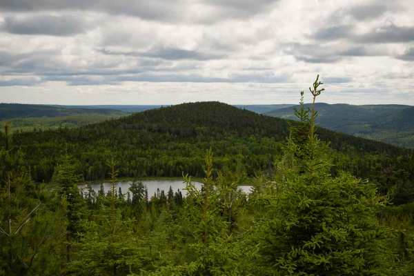
Photos of Airstrip Road

Difficulty

Maintained dirt or rocky road with gentle grades. The road is two vehicles wide.

Technical Rating

1

Airstrip Road Trail can be accessed by the following ride types:

  • Single Track
  • 50 Inch
  • 60 Inch
  • High Clearance
  • Full Width

Airstrip Road Map

The onX Offroad Difference

onX Offroad combines trail photos, descriptions, difficulty ratings, width restrictions, seasonality, and more in a user-friendly interface. Available on all devices, with offline access and full compatibility with CarPlay and Android Auto. Discover what you're missing today!

Open Trail Map