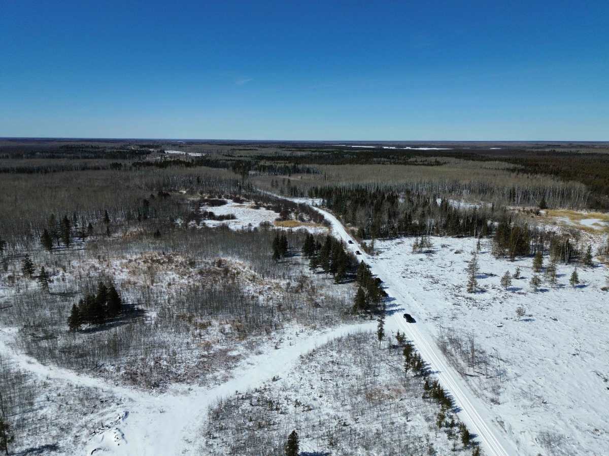
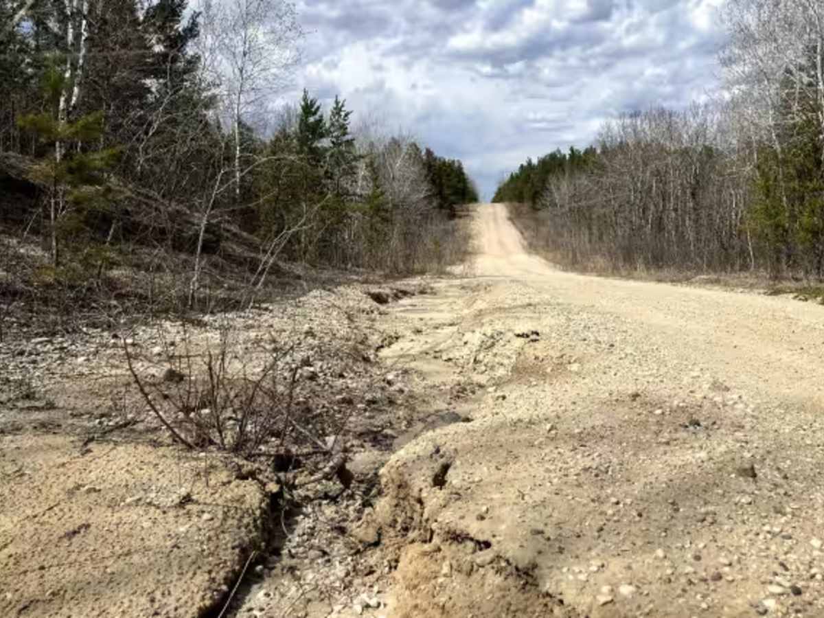
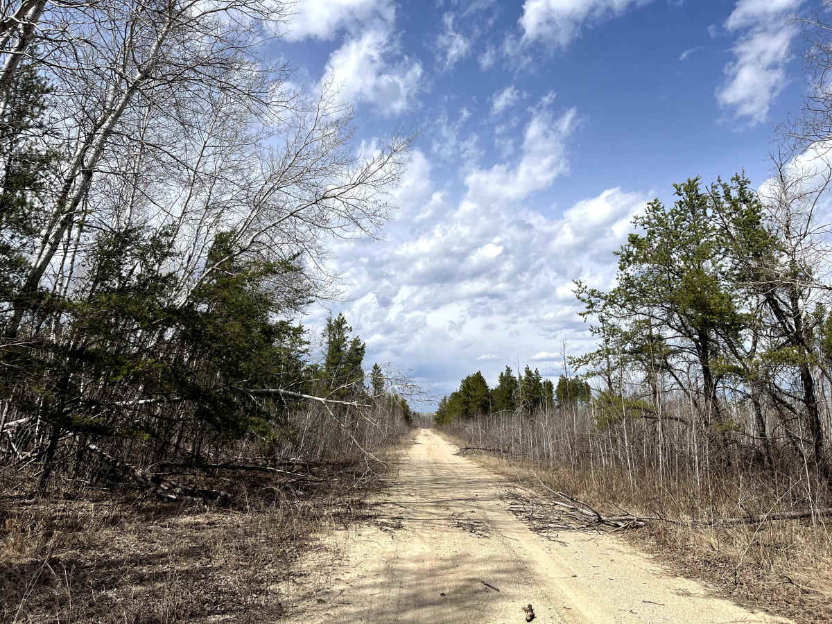
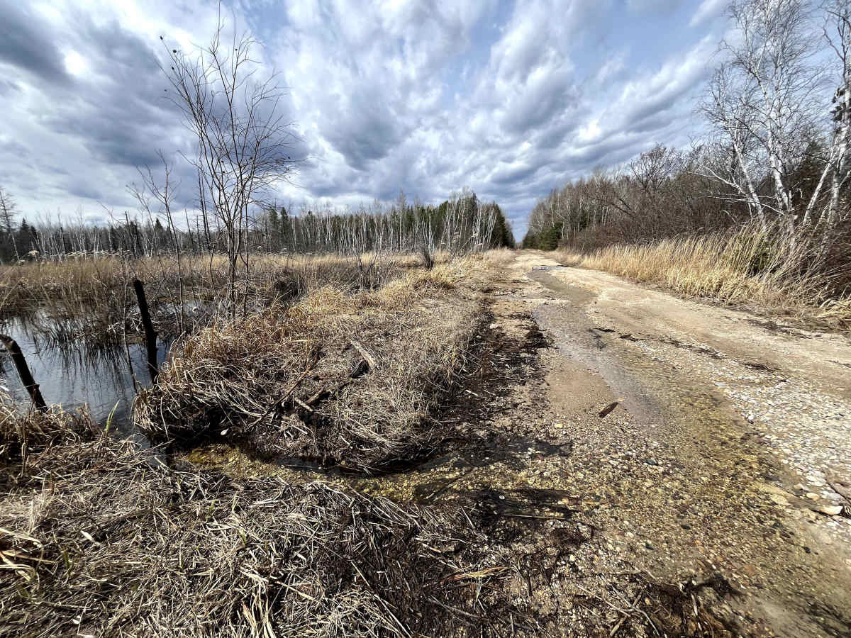
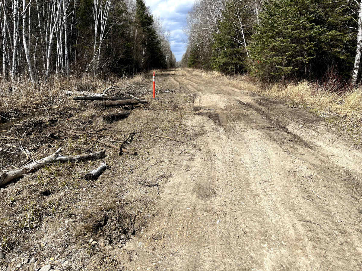
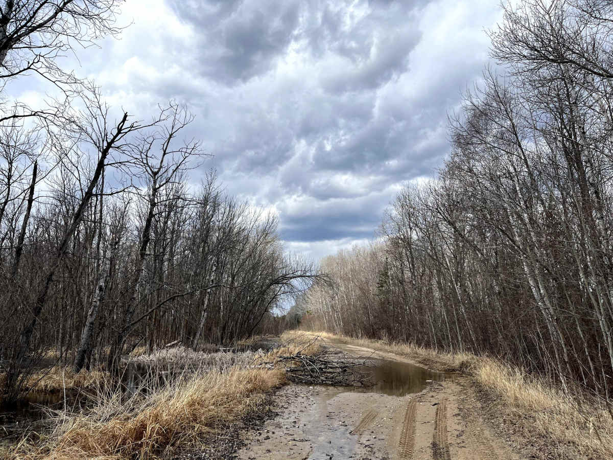
Trail Overview
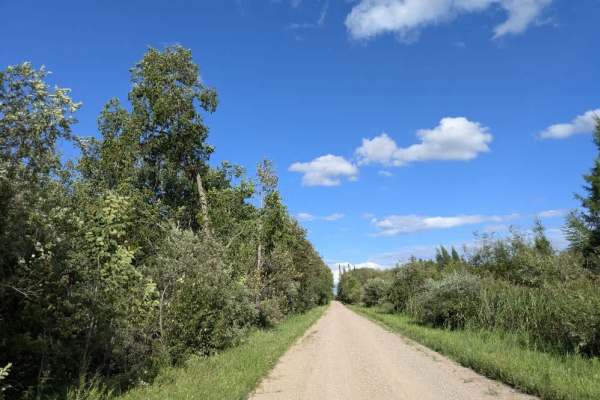
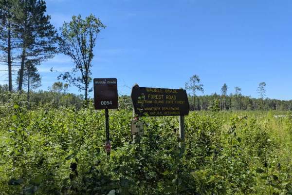
Forestry Road 31 / Fire Guard Road 31 is an easy forest access road in Manitoba’s Sandilands Provincial Forest near Woodridge. The route runs north from the Woodridge area toward Highway 1 through sandy pine forest and managed forestry land. This is primarily a forestry/fire-guard road, not a technical 4x4 trail. In dry conditions, it is generally an easy drive for a stock 4x4 or high-clearance vehicle. Conditions can change with snow, spring thaw, rain, logging activity, and soft sand. Expect gravel and sandy road surface, light ruts, occasional wet sections, possible small washouts, wildlife, and shared-use recreation traffic. The surrounding area is used by ATV riders, snowmobilers, hikers, hunters, campers, and forestry operations. Check current maps before travelling, avoid designated snowmobile trails when they are active, watch for logging detours or signage, and stay on established roads.
History
Part of the older fire-guard and forestry access road network within Sandilands Provincial Forest, near Woodridge, Manitoba. Road’s original purpose was likely practical forest management: access for fire control, forestry operations, logging, and movement through the provincial forest, rather than recreation alone.