W50-A

Total Miles2.9
Technical Rating
2Easy
Best TimeSpring, Summer, Fall
Trail TypeFull-Width Road
Accessible By
Open Trail Map

Trail Overview

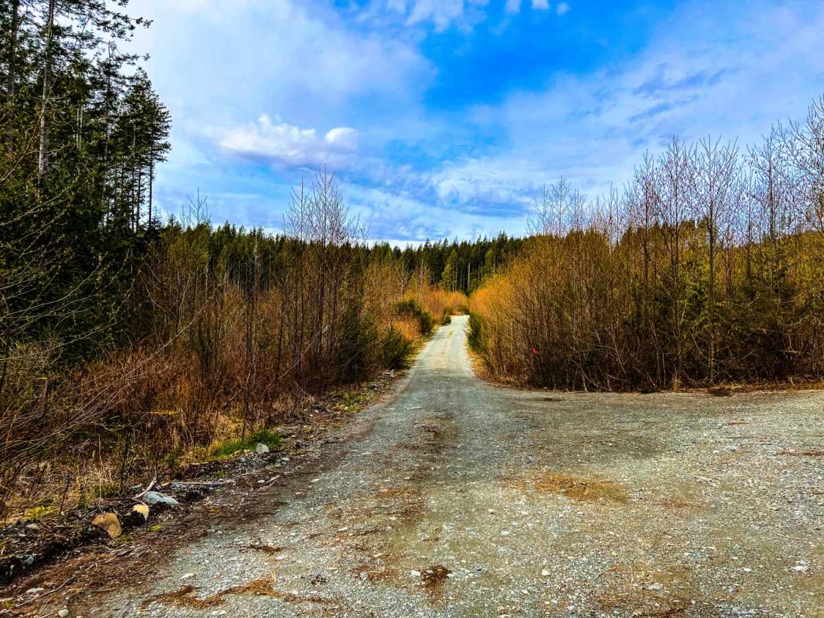
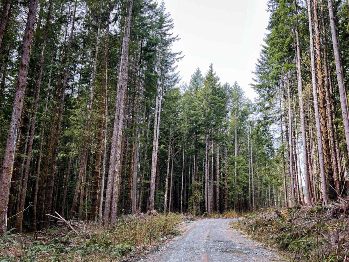
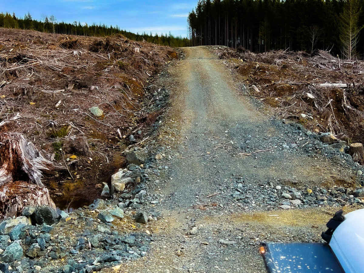
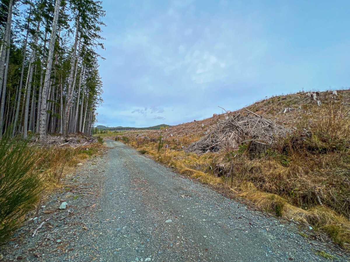
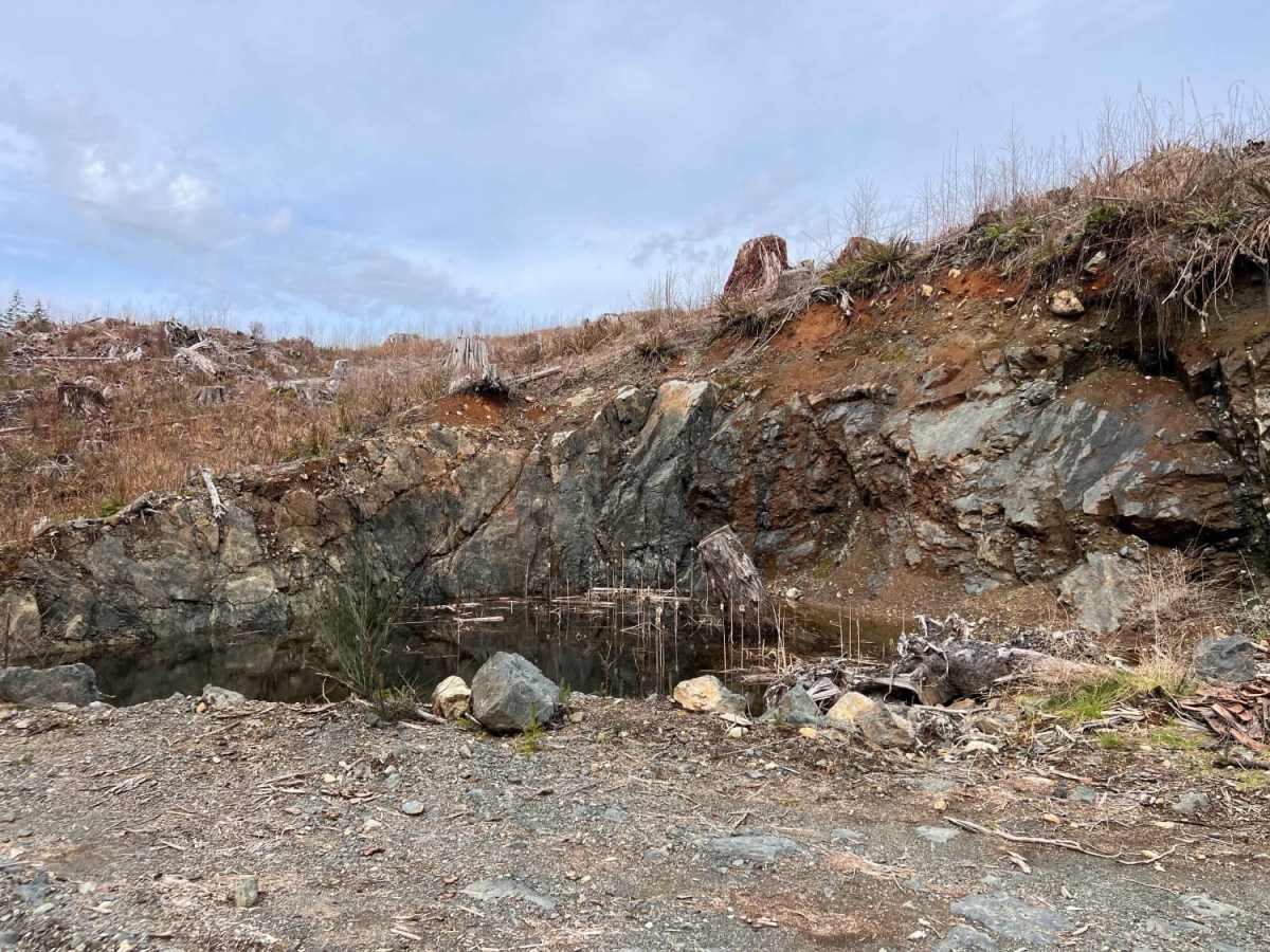
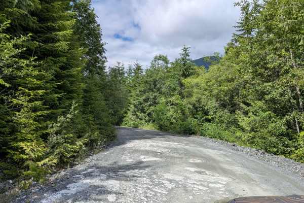
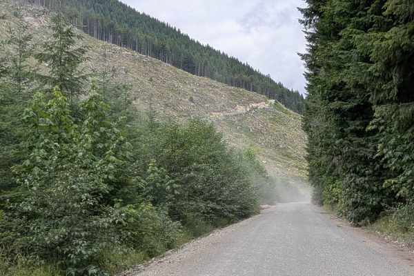
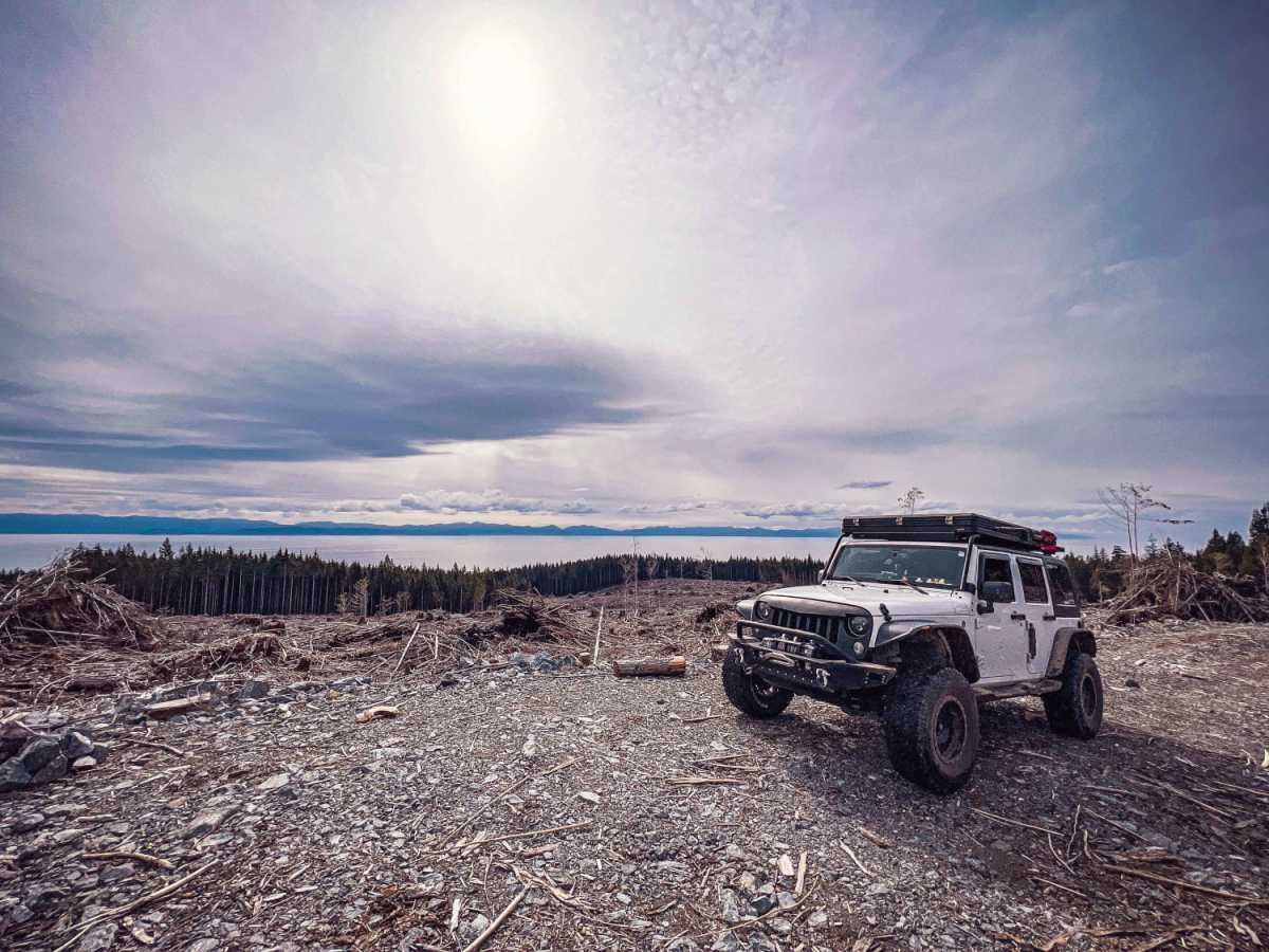
Just off Highway 14 (West Coast Road) along the coast of Vancouver Island are a number of logging roads. One of those roads is W40 which quickly leads to W50-A. W50-A is primarily dirt and gravel, with a few very deep and narrow ditches that cross the road and require high clearance to avoid scraping on the front or rear bumpers. The road has a few offshoots but ultimately dead-ends at the top. Though the view of the surrounding clear cut trees is not much to write home about, the view from the top where the road dead-ends provides a nice view of the Salish Sea and can make for a great place to overnight camp. There was a gate at the entrance, so it has the possibility of being closed and locked, and/or beware of it becoming locked after going in and camping.

Photos of W50-A

Difficulty

The road was pretty easy going, aside from a number of ditches that must be crossed and would be difficult without some higher clearance

Technical Rating

2

Status Reports

Add Status Report
Ryder Mayell
May 31, 2026
Obstructed
Washout
The firsr bridge you would go over was taken down. If you take the first right as soon as you can on the trail it will connect back to the main trial.
David Shannon
Oct 10, 2025
Obstructed
Washout
Road washed out, tree barrier placed to prevent traffic.
Kristopher & Angela Halloran
Jun 26, 2024
Open
Normal
Trail was easy towards the end there are some washouts. A few spots to camp sadly some trash in some. Did find a large makeshift shooting range.

W50-A Trail can be accessed by the following ride types:

  • Single Track
  • 50 Inch
  • 60 Inch
  • High Clearance
  • Full Width

W50-A Map

The onX Offroad Difference

onX Offroad combines trail photos, descriptions, difficulty ratings, width restrictions, seasonality, and more in a user-friendly interface. Available on all devices, with offline access and full compatibility with CarPlay and Android Auto. Discover what you're missing today!

Open Trail Map