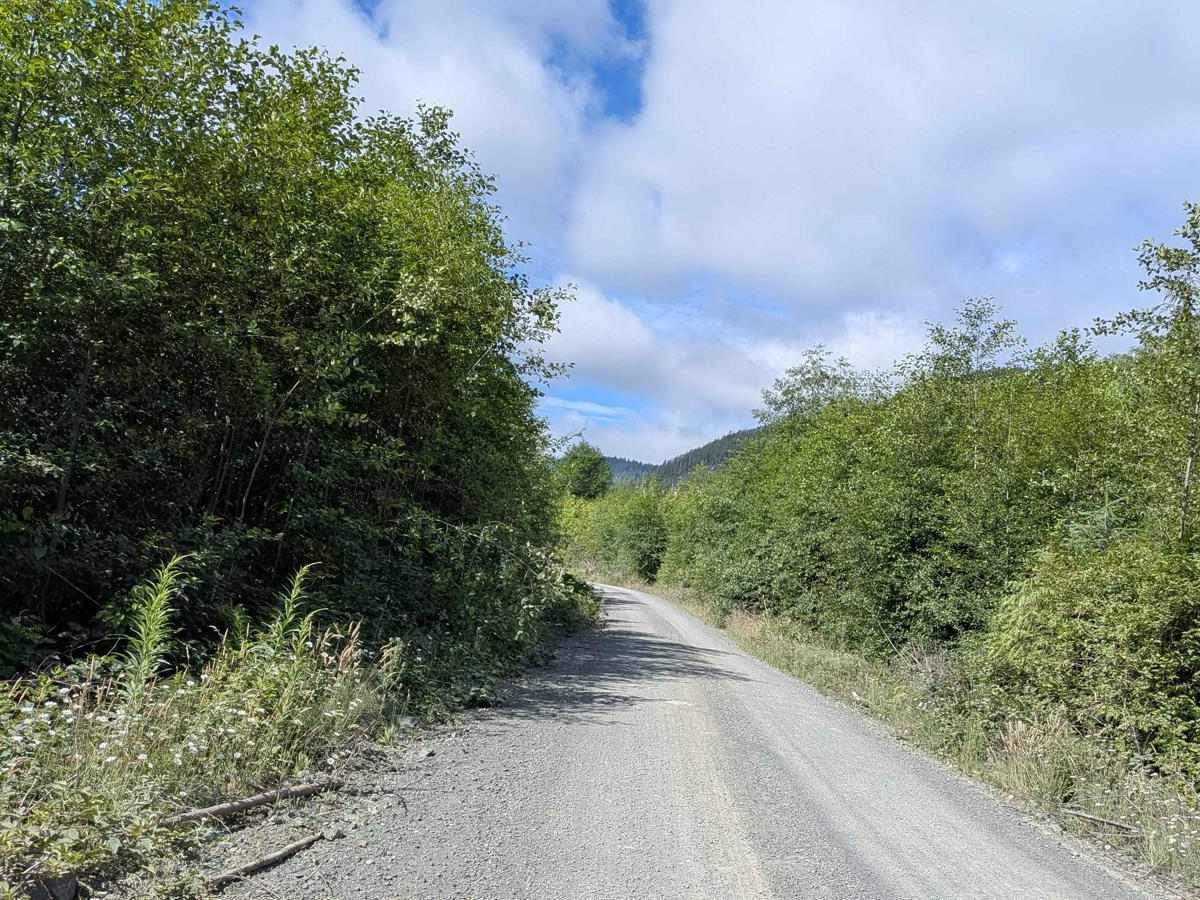
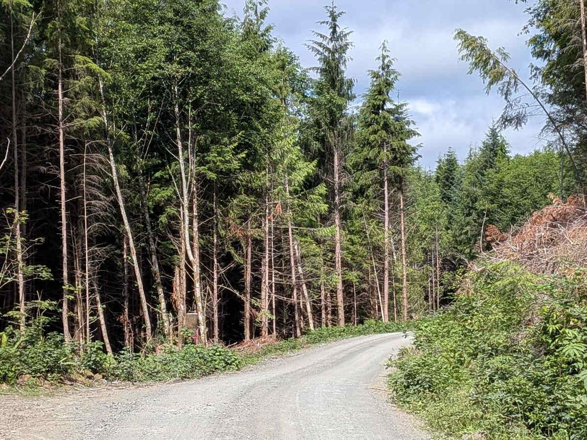
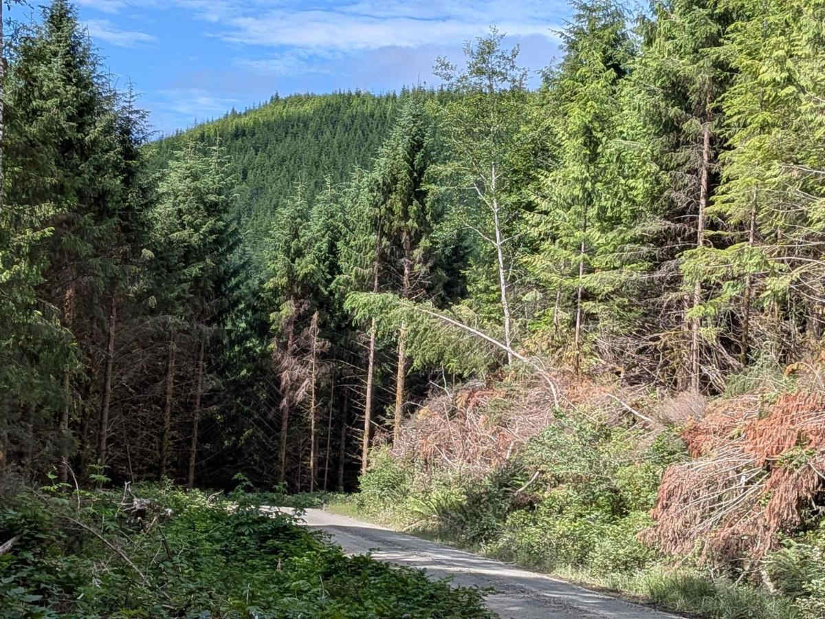
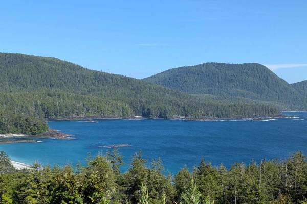
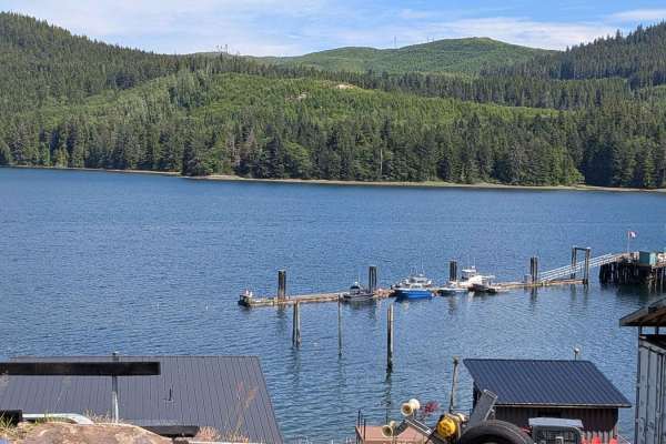
Trail Overview
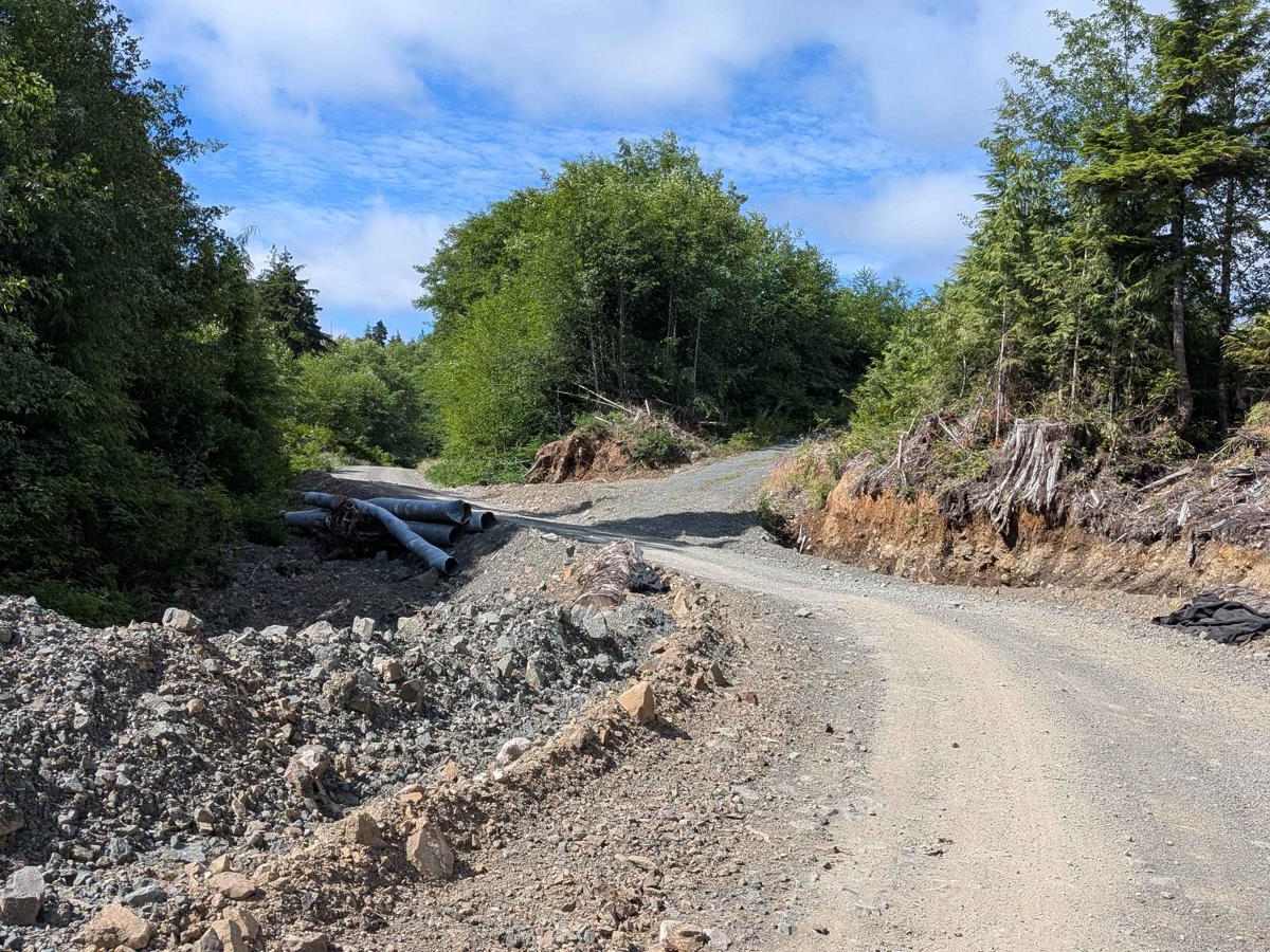
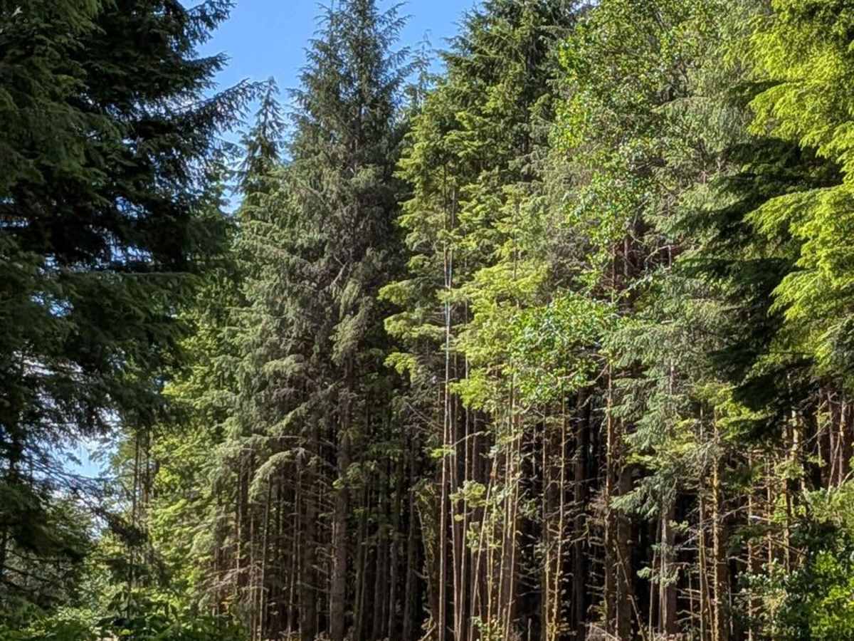
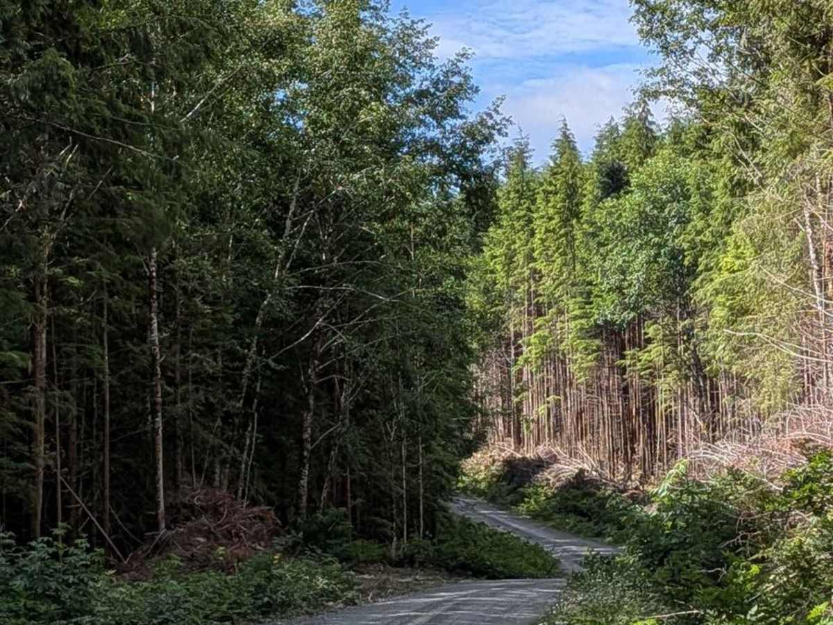
Topknot Main is a crushed rock gravel road just wide enough for two vehicles to pass. Caution is essential due to its active use by logging trucks and other vehicles. For the first 10 kilometers (6 miles), the road is relatively smooth and open, lined with tall trees, heavy vegetation, and colorful wildflowers, especially in spring and early summer. There is an ongoing effort to clear vegetation alongside the trail, which not only improves visibility but also opens up scenic views of the towering forest canopy. At the Y-split, the trail becomes a single-vehicle-width spur trail that continues for about 4 more kilometers (2.5 miles). This section is narrower, with more potholes, and continues to offer wildflower displays and a more secluded feel. Watch for bears, deer, and other wildlife, and drive slowly to avoid collisions. The trail ends at a large parking area used by visitors heading to the Macjack River and Raft Cove Park.
Difficulty
The first 10 kilometers (6 miles) are suitable for most stock 4WD or AWD vehicles, though dust and visibility issues require extra caution. The final 4 kilometer (2.5 mile) spur section becomes narrower and rougher, with more potholes and reduced passing opportunities, warranting a slightly higher difficulty rating.