Trail Overview
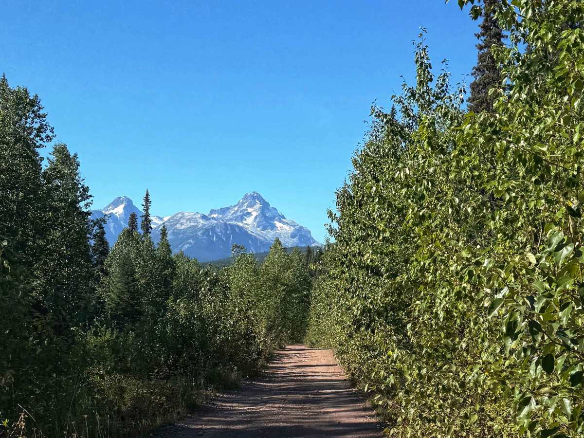
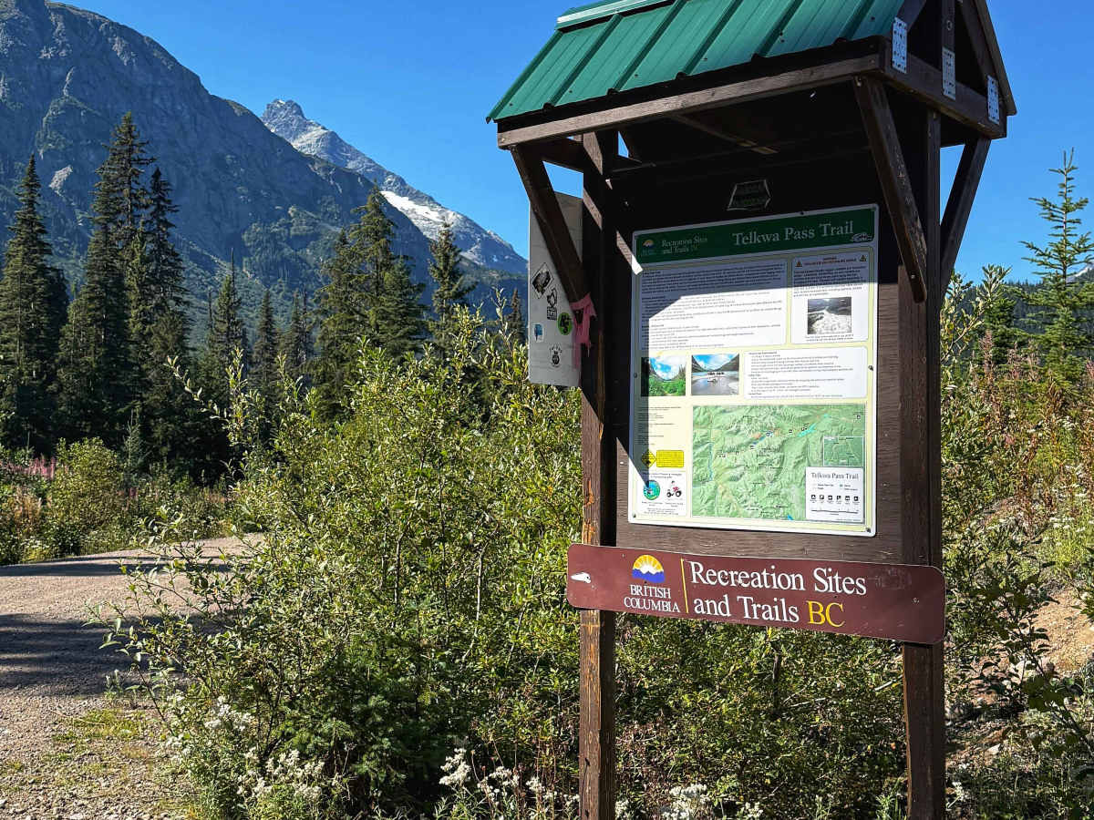
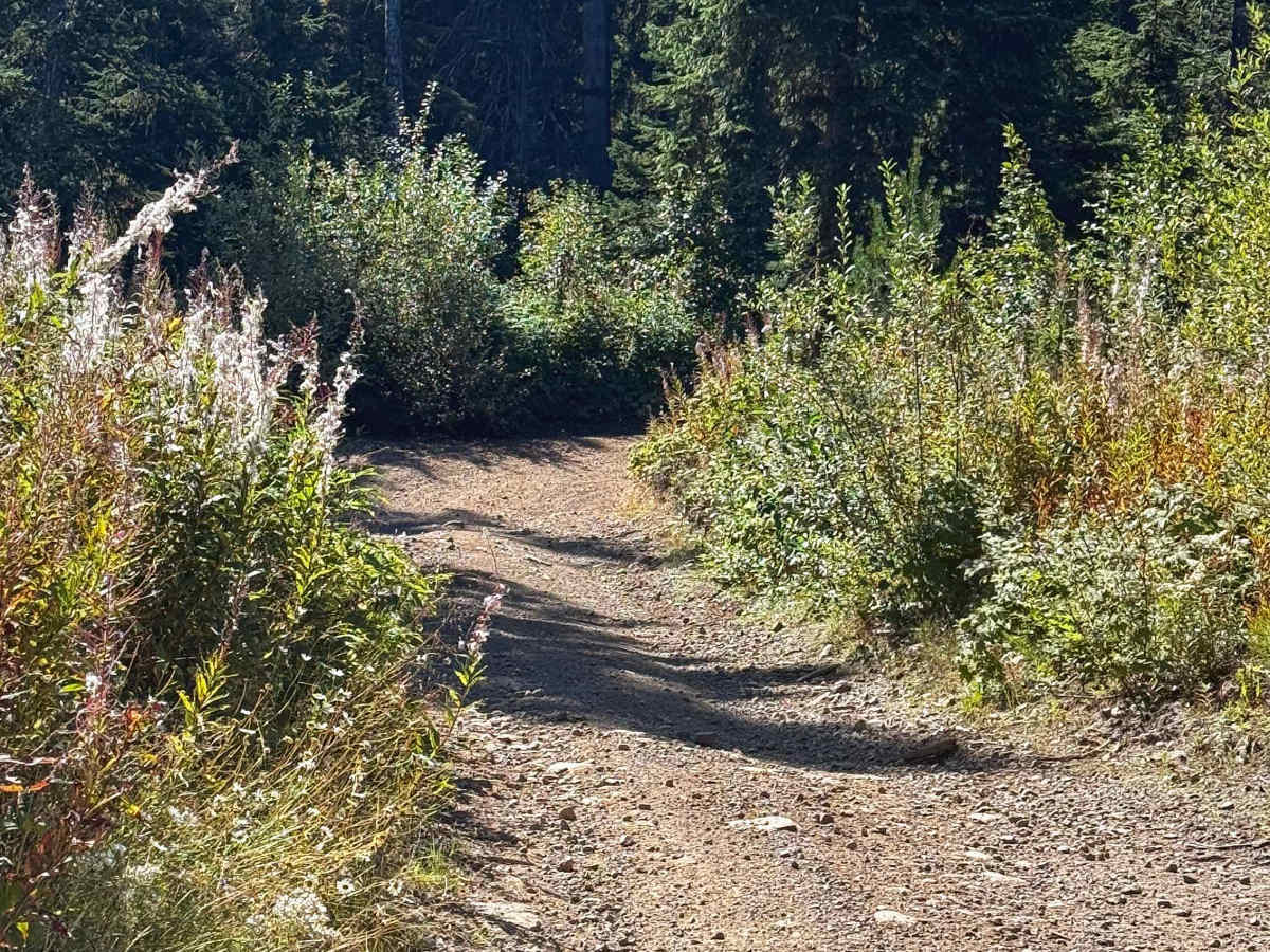
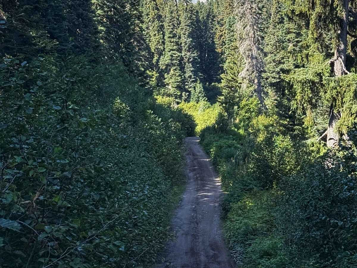
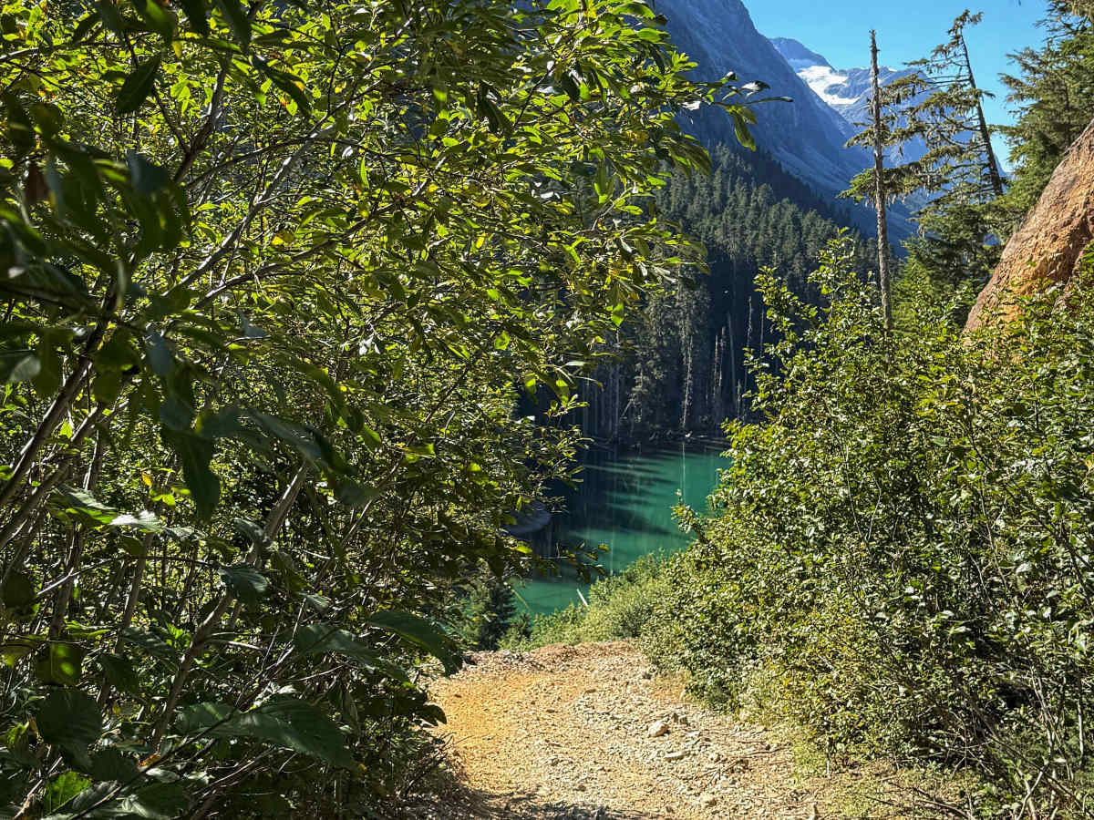
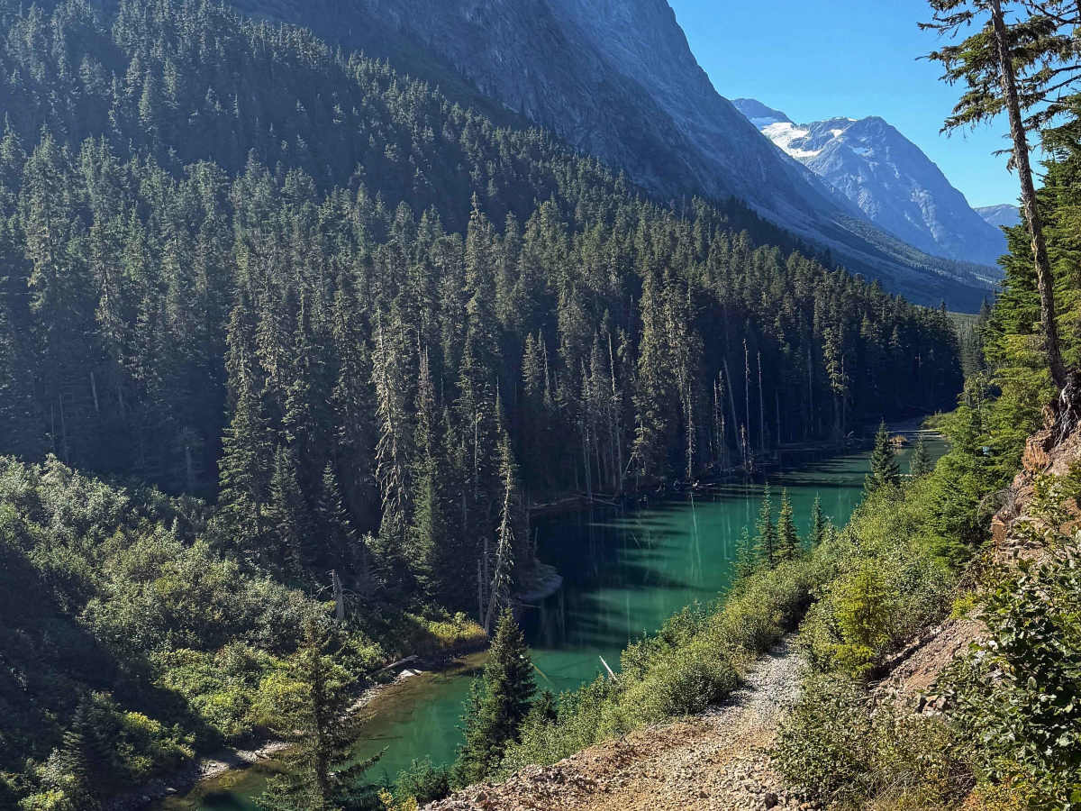
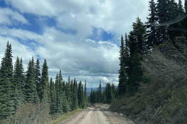
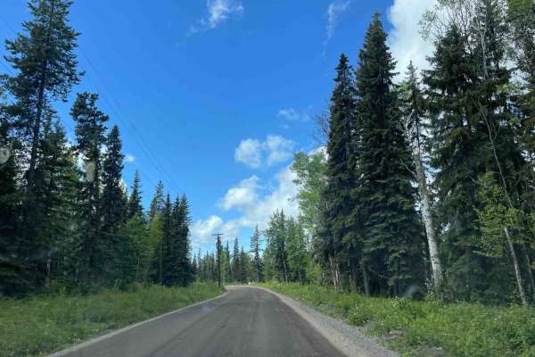
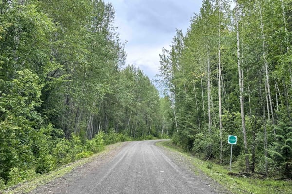
The Telkwa Pass is one trail in the Northwest of British Columbia that every Four Wheel Drive enthusiast should do once. Coming from Telkwa/Smithers, the road starts as a regular, easy Forest Service road. At the midpoint of this route, you will find a sign giving some information on the Telkwa Pass, followed by a small marker that starts the "Trail". At this point, the trail is narrow and makes its way down into the valley. The deeper you travel, the more narrow it becomes, so expect pinstriping. There are a number of steep hills, loose rocks, and medium-sized boulders to drive over. Once you pass a small shelf road, you will reach the first area to camp at. As you get closer to Top Lake, the trail becomes a stream. As of late August, this was knee deep and very cold. Lots of water crossing as you reach Top Lake, where you will find a large sandbar that is a popular camp spot.
Difficulty
This trail is very tight, expect pinstriping from overgrown vegetation. There are a few larger branches that keep drivers on their toes. The water crossings can be deep and narrow. The first water crossing doubles as a stream where you travel with the stream, not across it.