Squamish Indian Arm FSR

Total Miles23.6
Technical Rating
4Moderate
Best TimeSummer, Fall
Trail TypeHigh-Clearance 4x4 Trail
Accessible By
Open Trail Map

Trail Overview

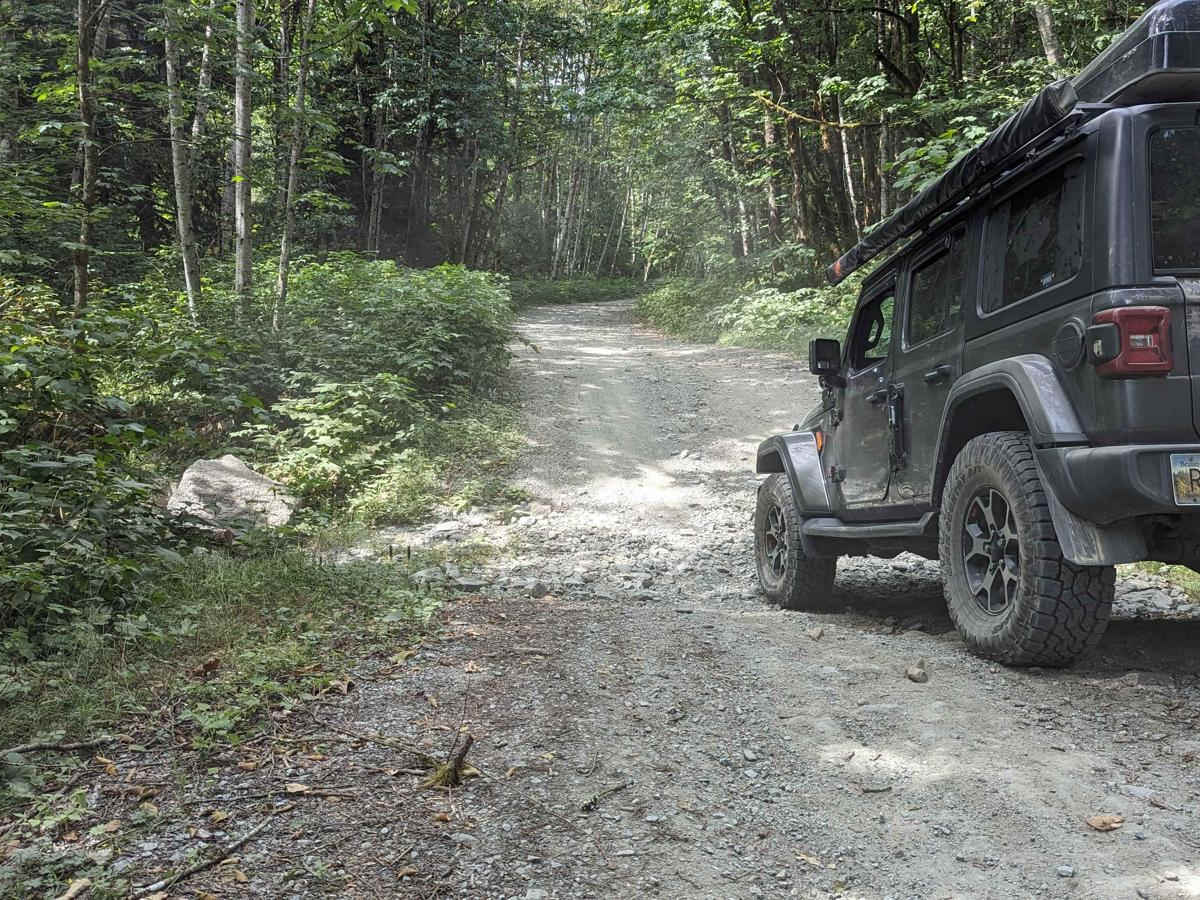
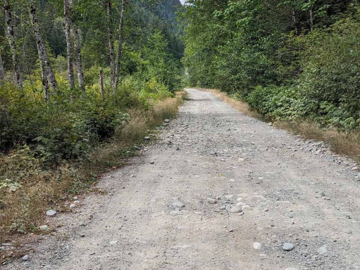
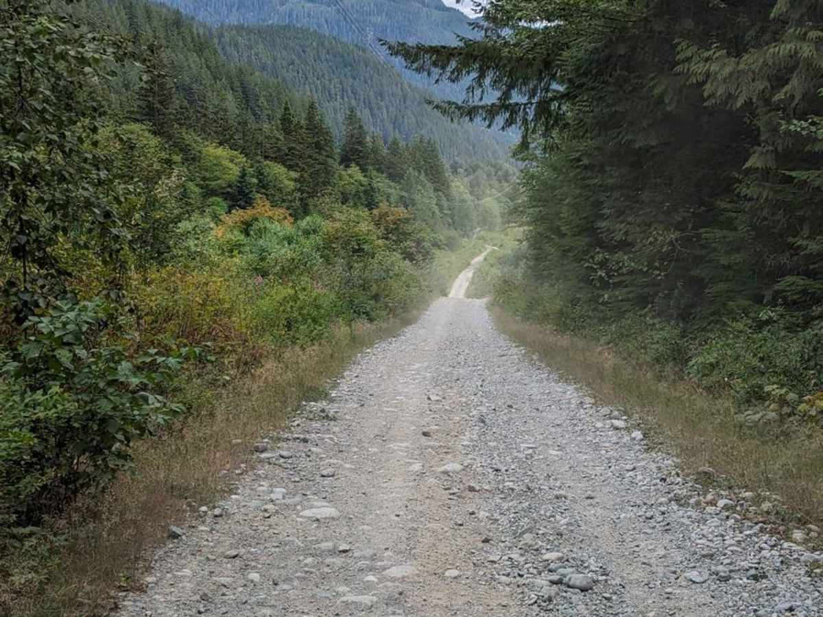
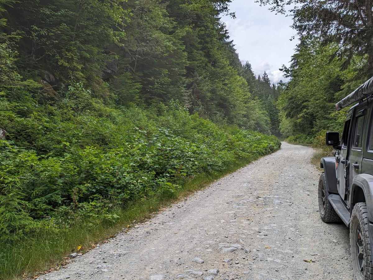
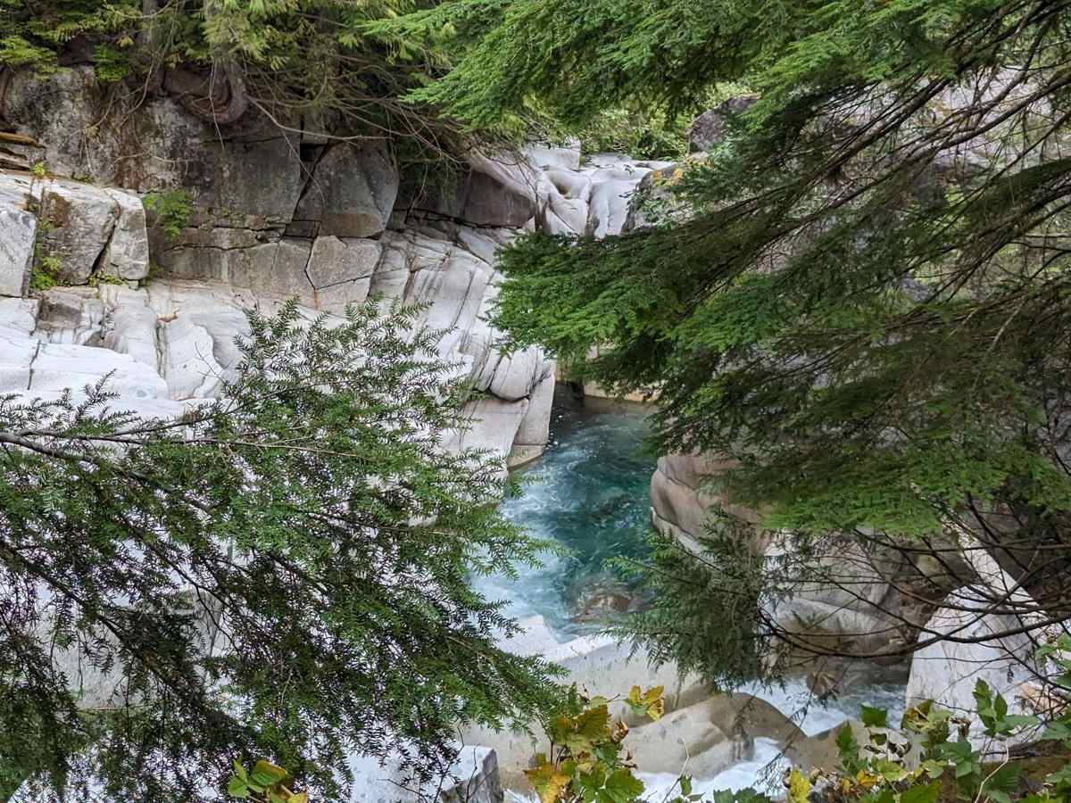
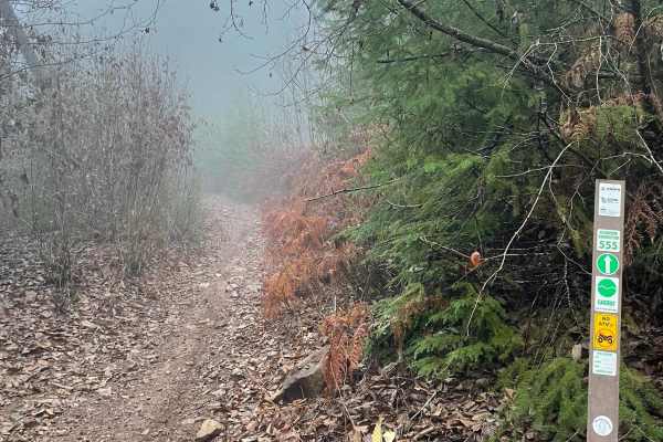
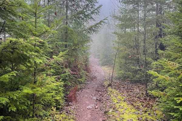
This gravel road leads from Squamish town in BC to the north end of Indian Arm-an ocean inlet. It is a Forest Service road that is not regularly maintained. You'll encounter gravel with loose sharp rocks, and it's pretty steep at the beginning (9-12 degrees). Since it's at a higher elevation, snow is present until the middle/end of June. Be prepared. Have a spare!

Photos of Squamish Indian Arm FSR

Difficulty

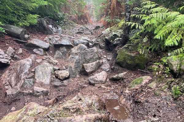
There are loose sharp rocks, steep hills, and washouts. During the summer months, it's passable by any vehicle with high clearance and good tires.

Technical Rating

4

Status Reports

Add Status Report
Joshua Pennock
Apr 22, 2025
2022 Mercedes Sprinter
Temporarily Closed
Closed GatePosted Sign
Road closed to all users at gate at 3km due to construction activities. Single lane alternating traffic 0 - 3km. Expect delays. Traffic control on site. Road also closed to all users at 34.5km (no access through Indian Arm). Expect further closures through 2026.
Daud Riaz
Sep 08, 2024
Temporarily Closed
Closed GatePosted Sign
About 6km on the gravel road, came up to a closed gate with security personnel present. Posted “road closed”
Alpay Kurtoglu
Jun 16, 2024
Temporarily Closed
Posted Sign

Squamish Indian Arm FSR Trail can be accessed by the following ride types:

  • Single Track
  • 50 Inch
  • 60 Inch
  • High Clearance

Squamish Indian Arm FSR Map

The onX Offroad Difference

onX Offroad combines trail photos, descriptions, difficulty ratings, width restrictions, seasonality, and more in a user-friendly interface. Available on all devices, with offline access and full compatibility with CarPlay and Android Auto. Discover what you're missing today!

Open Trail Map