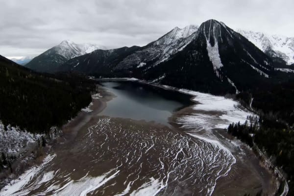
Trail Overview
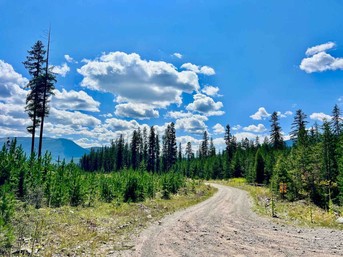
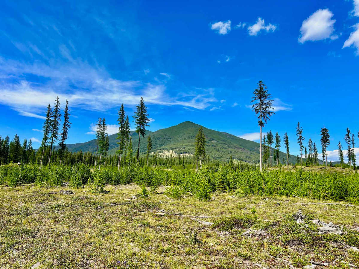
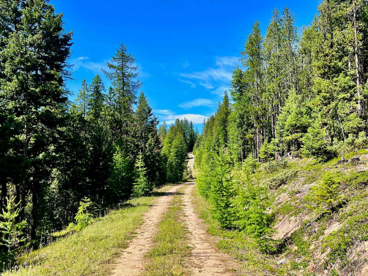
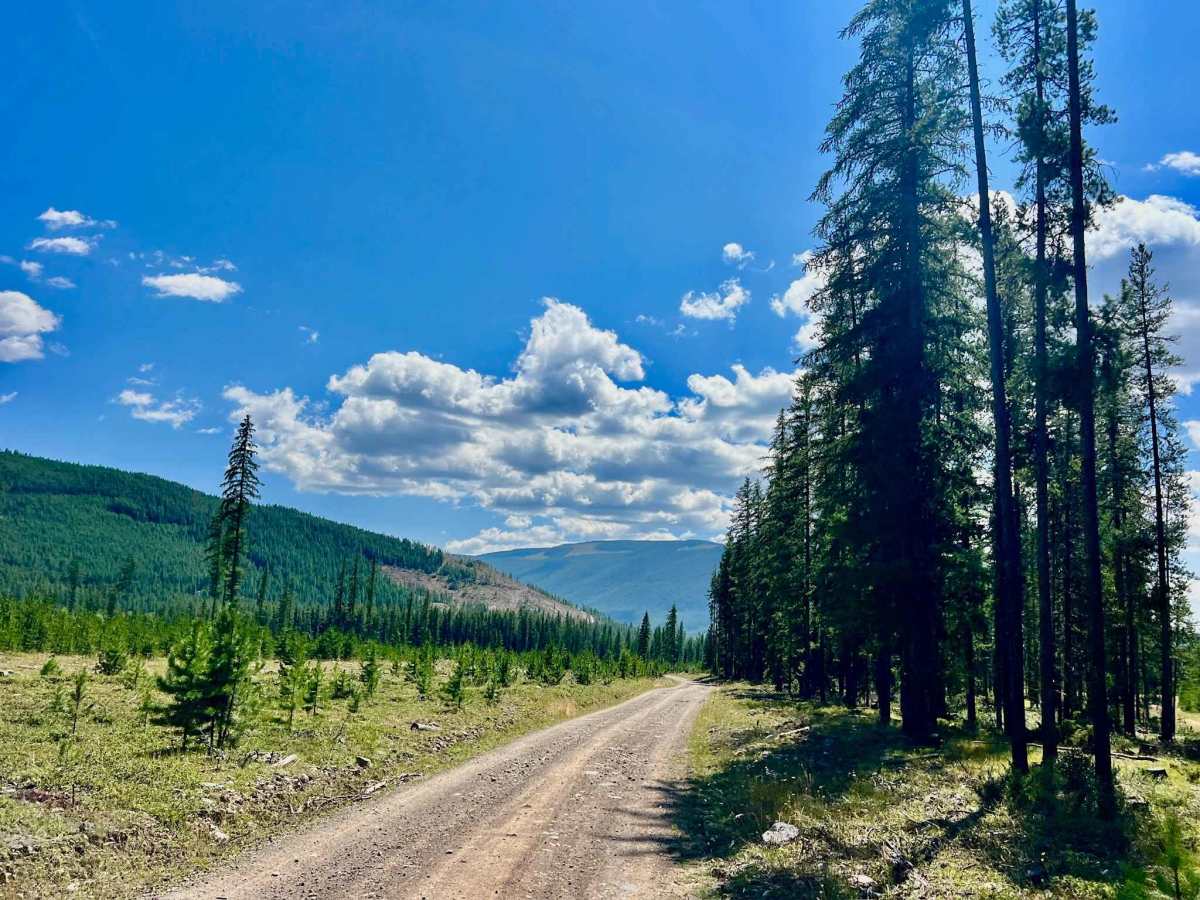
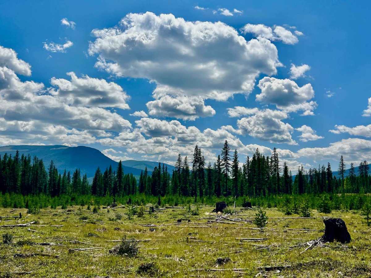
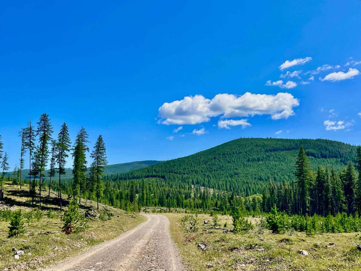
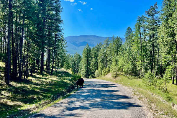
South Baker is a truly rewarding trail that winds through a mosaic of varying ages of forestry cuts and pristine meadows. This allows for spectacular, expansive mountain views that define the Kootenay landscape. While there are a few open areas where one could choose to camp, the true highlight lies near the top, just before the trail's end. Here, a magnificent clearing opens, offering an unobstructed, commanding view of Mount Baker and the epic range to the northeast. This spot is spacious enough to comfortably fit a handful of rigs, making it an ideal, remote sanctuary. This is a genuinely remote trail, and the odds are high that you'll have it entirely to yourself, enhancing the sense of wilderness. Expect a narrow track in places, but nothing more challenging than navigating these sections and the occasional deep washout. The surrounding forest is dominated by species like Lodgepole Pine and Subalpine Fir, creating a rich habitat for wildlife. You'll encounter one bar of Verizon cell service, which can be inconsistent; therefore, having offline maps downloaded is crucial for navigation.
Difficulty
This trail is suitable for most vehicles, though higher clearance is helpful in narrow sections and where deeper washouts may appear. Drivers should expect a tight track in places and remain alert for occasional washout areas.
History
South Baker traces routes through lands that have been the traditional territory of the Ktunaxa people for thousands of years, long before any formal trails existed. The varying ages of forestry cuts visible from the trail tell a clear story of the region's intense logging history, a dominant industry that shaped these mountains from the late 19th century onwards. These "cuts," now healing with new growth and meadows, provided essential timber for the burgeoning towns and industries of the Kootenays. While remote, these trails are the legacy of that era, repurposing industrial access into avenues for recreation. Even though this specific trail is west of Lake Koocanusa, it is part of the same vast Kootenay ecosystem, sharing a history of human interaction with its abundant natural resources. The McGillivray Mountain Range, part of the larger Kootenay Rockies, offers rugged and pristine mountain landscapes. Known for its extensive forests, diverse wildlife, and numerous recreational opportunities, it provides a dramatic backdrop to trails like South Baker.