Trail Overview
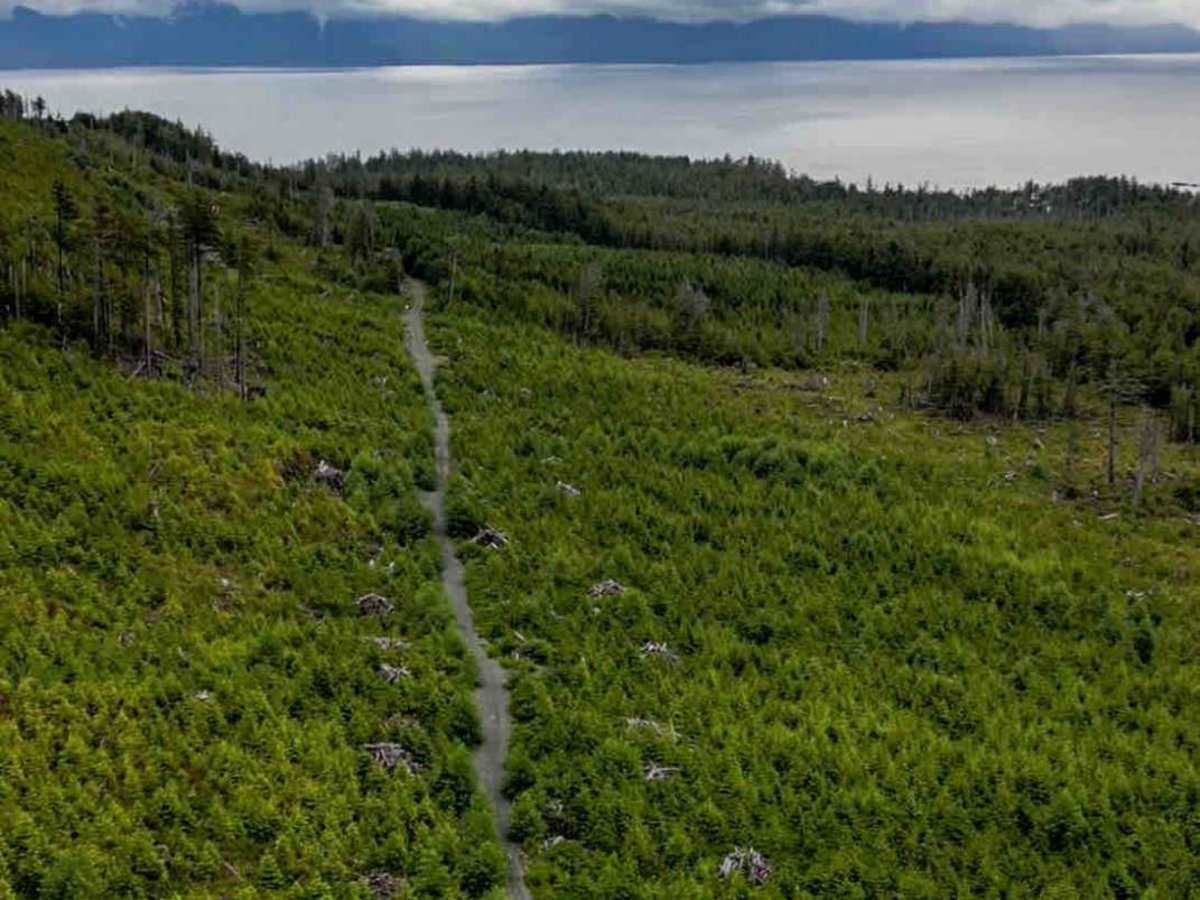
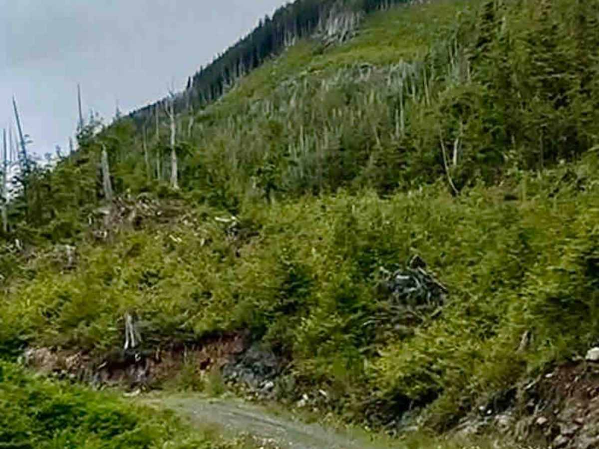
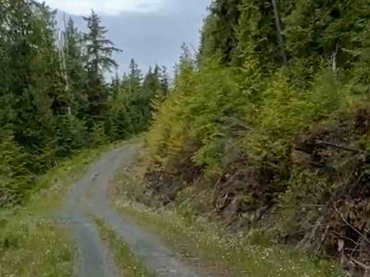
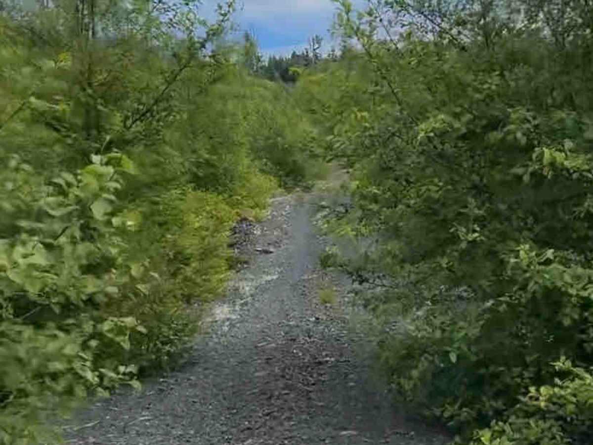
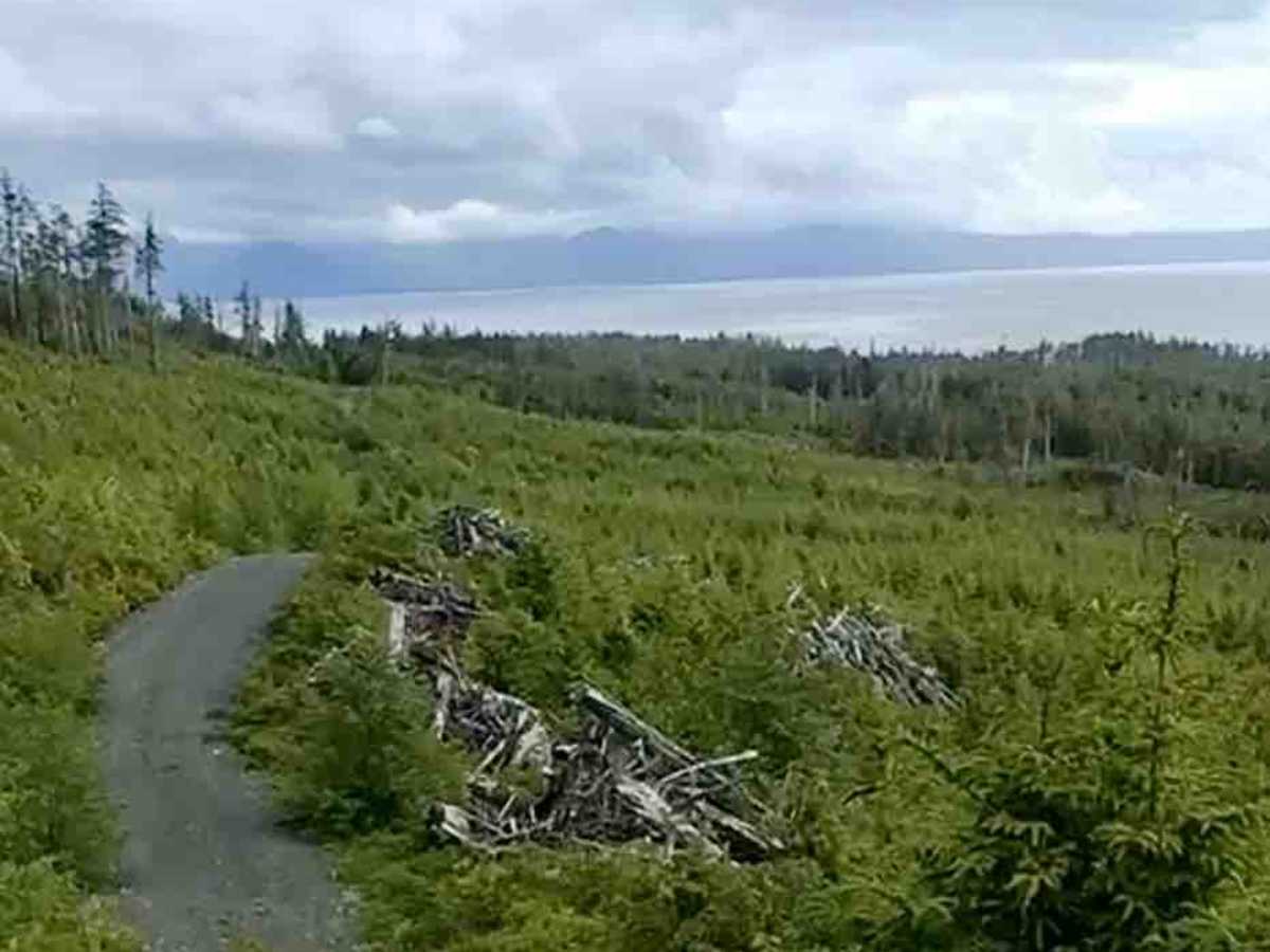
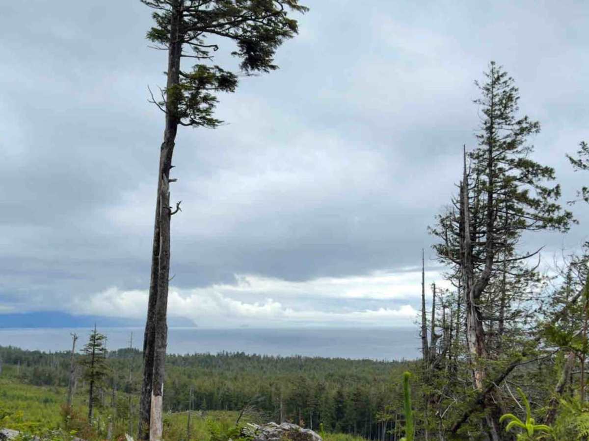
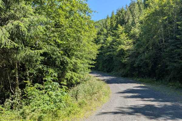
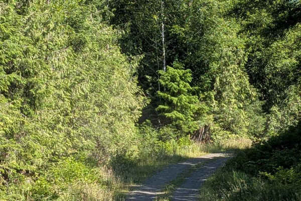
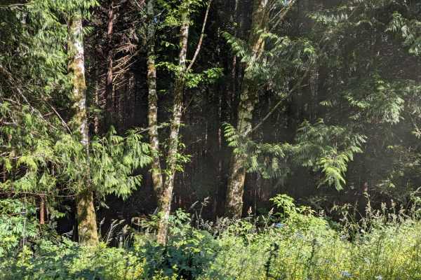
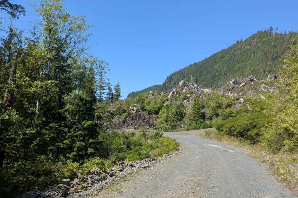
Side Bay Main Part 2 starts just beyond Side Bay and follows a gravel forest service road through open coastal terrain toward Lawn Point Park. The route travels through a mix of cutblocks and young regrowth, with low brush, small trees, and open slopes rather than dense forest. Because of this, the road often feels exposed, with wider sightlines and occasional views out toward the water and surrounding coastline. The surface is gravel throughout and generally easy to drive, with sections of well-packed road mixed with loose rock, washboard, and occasional rougher patches. In places, vegetation grows in toward the road edges, narrowing the track slightly, and downed debris or old logging remnants can be present near the shoulders. Low spots may hold water after rain, but overall drainage is decent compared to heavily forested routes. Wind and weather can be more noticeable here due to the open landscape, especially closer to the coast. The drive has an abrupt end of the road with a large tree across it. There is said to be a primitive path down to the beach (probably past the point where the tree is blocking the road), which looks amazing from a drone shot (see photos).
Difficulty
This is a non-technical gravel road with gentle grades and no major obstacles in dry conditions. Washboard, potholes, soft spots, and standing water are the main considerations. Difficulty increases slightly after heavy rain but remains straightforward for vehicles with basic clearance.
History
Side Bay Main was built as a forestry access road and continues to function as a working resource route.