Trail Overview
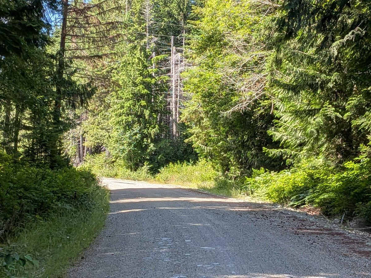
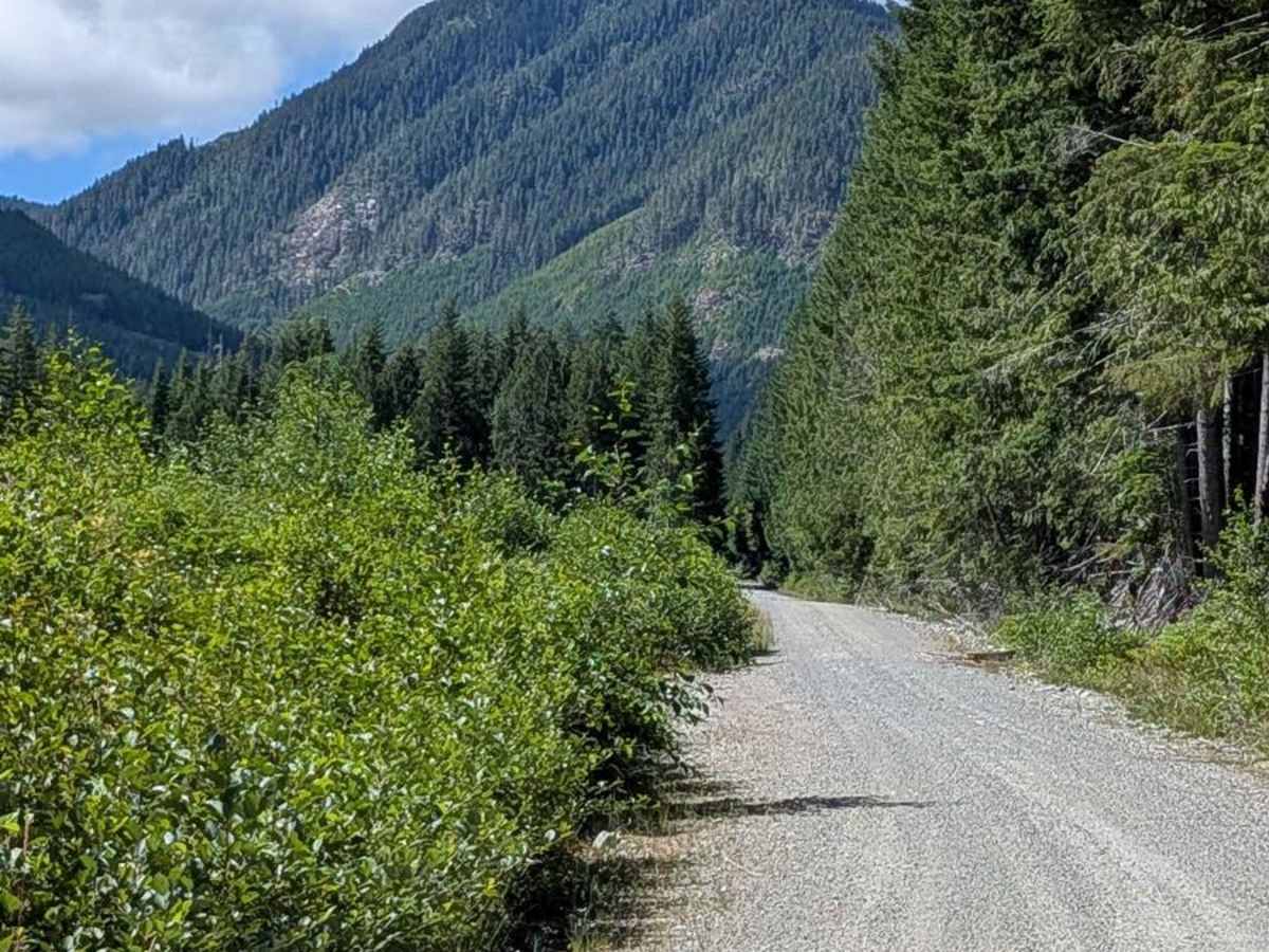
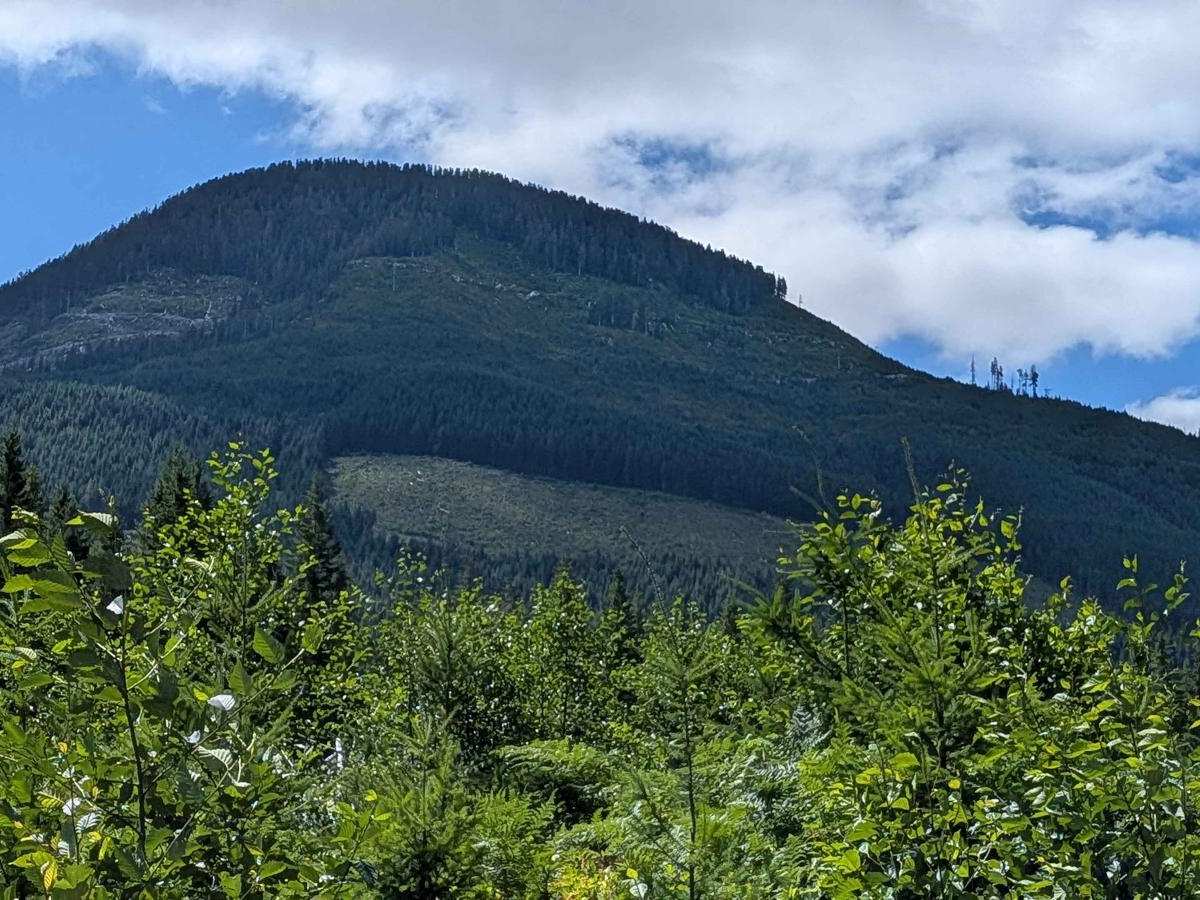
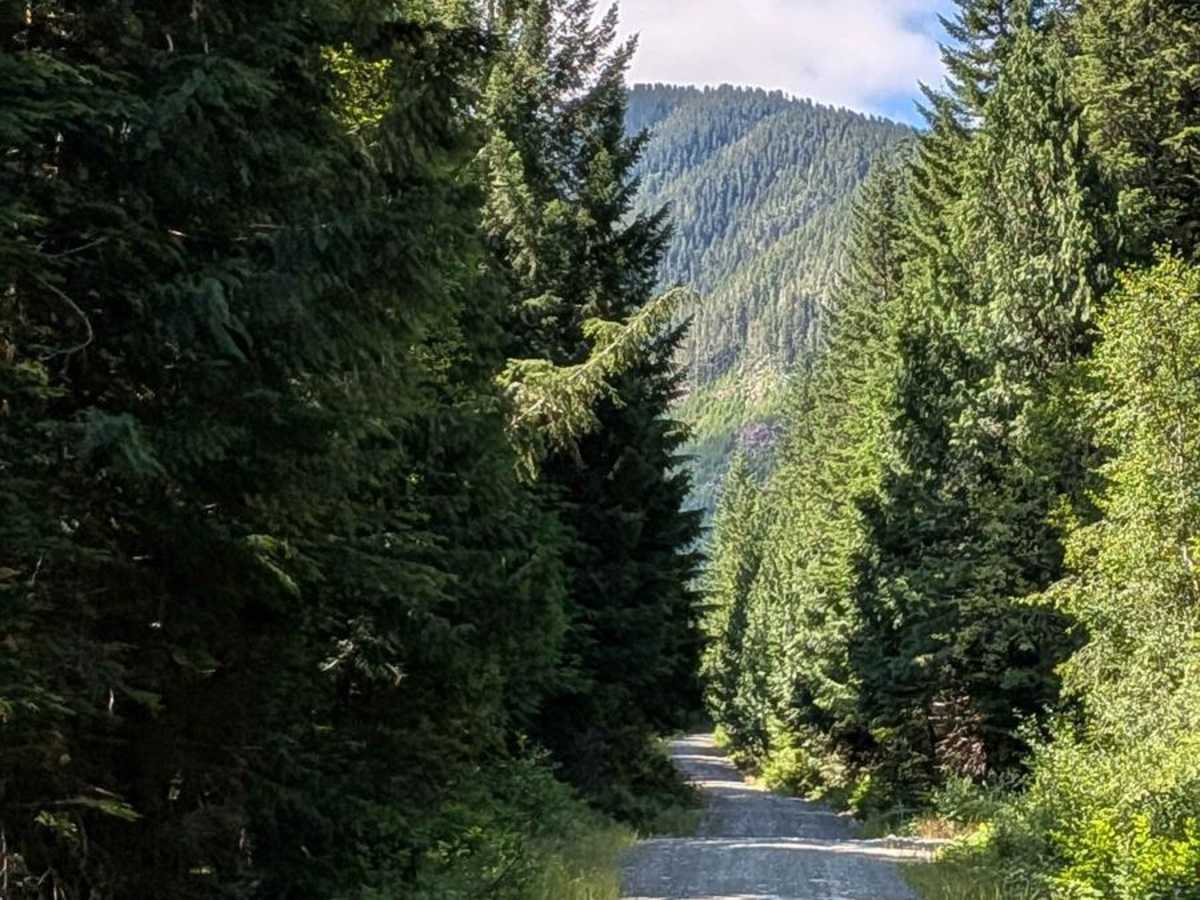
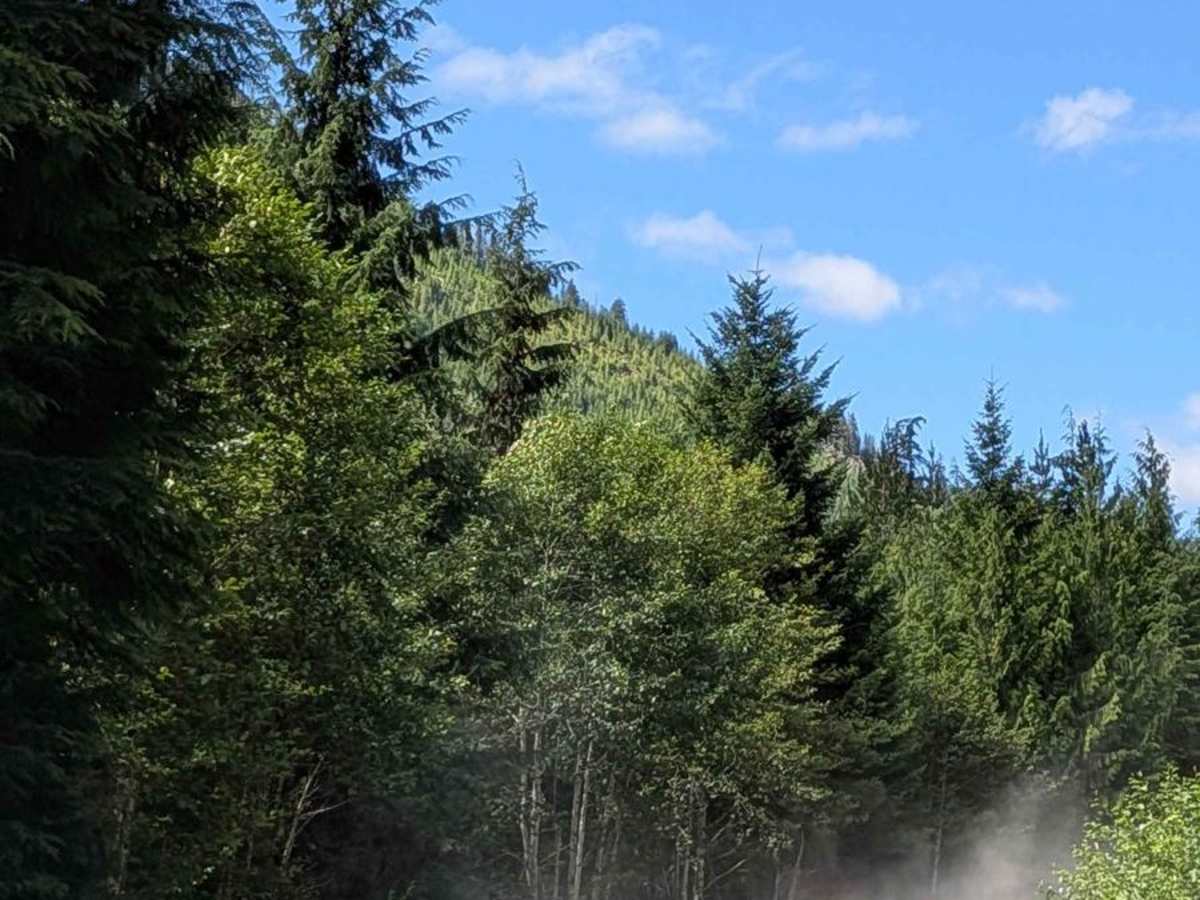
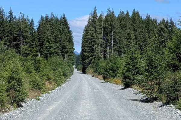
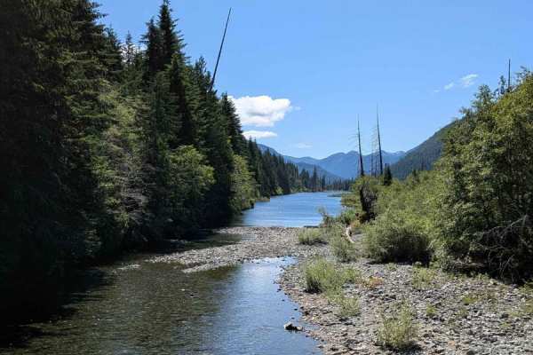
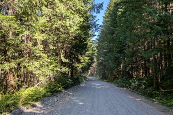
Sebalhall Road serves as a cutoff between the Nimpkish Main South Road and the route toward Vernal Lake. This gravel road starts off fairly wide at just over two vehicles across, allowing comfortable two-way traffic in many sections. The route is lined with a mix of tree species, thick brush, and seasonal wildflowers, offering a vibrant and natural setting. Along the way, the trail crosses several small bridges, providing picturesque spots to pause and enjoy the surroundings. However, as you progress, the road narrows significantly, becoming just slightly wider than a single vehicle. This requires caution and good situational awareness, especially when encountering oncoming traffic. Potholes appear unexpectedly in some areas, with a few large enough to warrant careful navigation to avoid vehicle damage.
Difficulty
While the trail is generally accessible to most vehicles, the narrowing road and occasional large potholes mean attentive driving is necessary. This route is great for those seeking a quieter alternative path with scenic forest views and a mix of road conditions.