Trail Overview
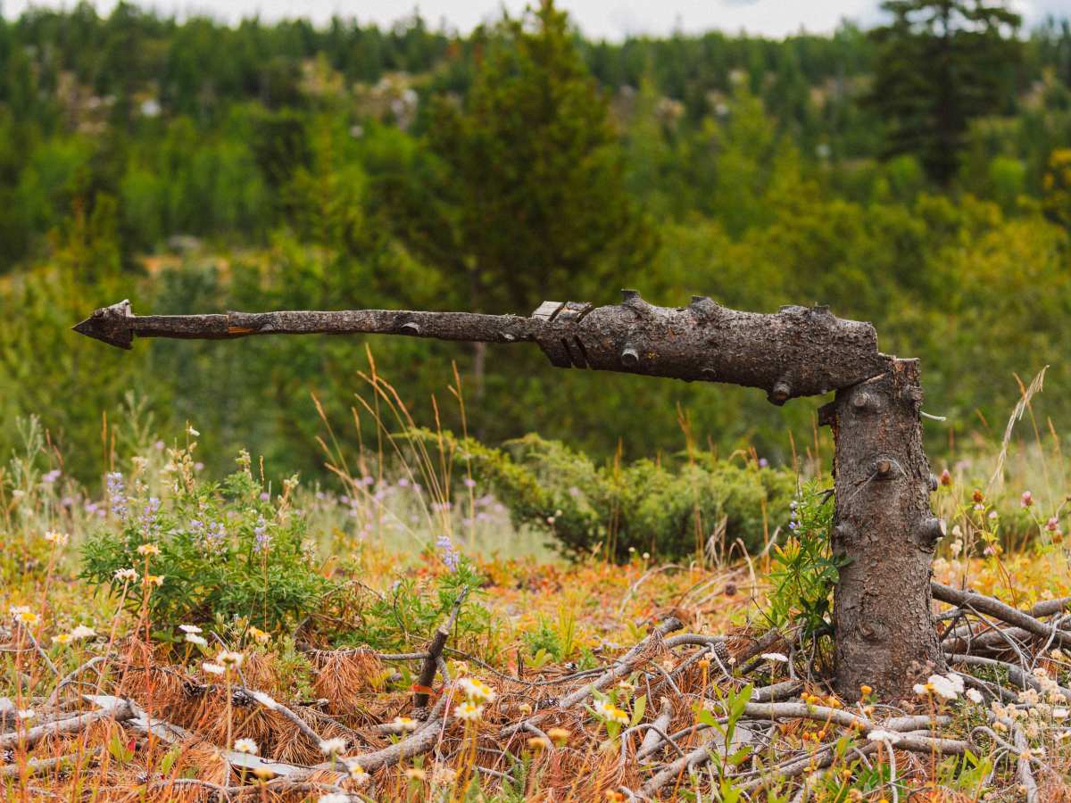
This trail splits off from the Rad Powerline Trail. It's a mix of forest driving, open ridgelines, and wide valley views. The trail gets its name from an arrow sculpture carved out of a tree that can be found along the way.
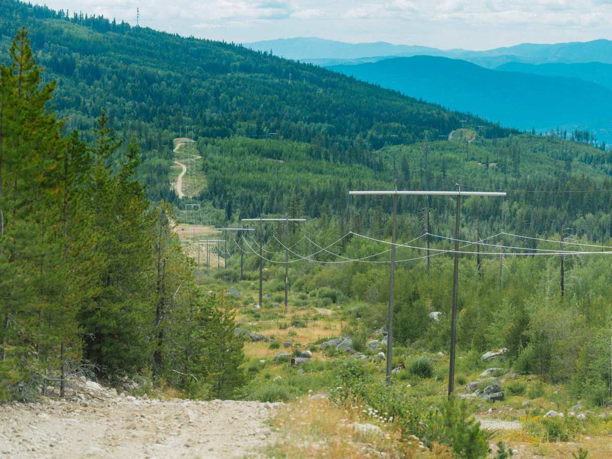
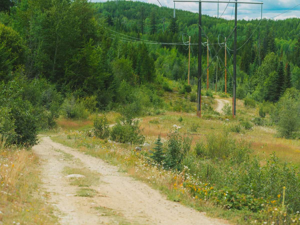
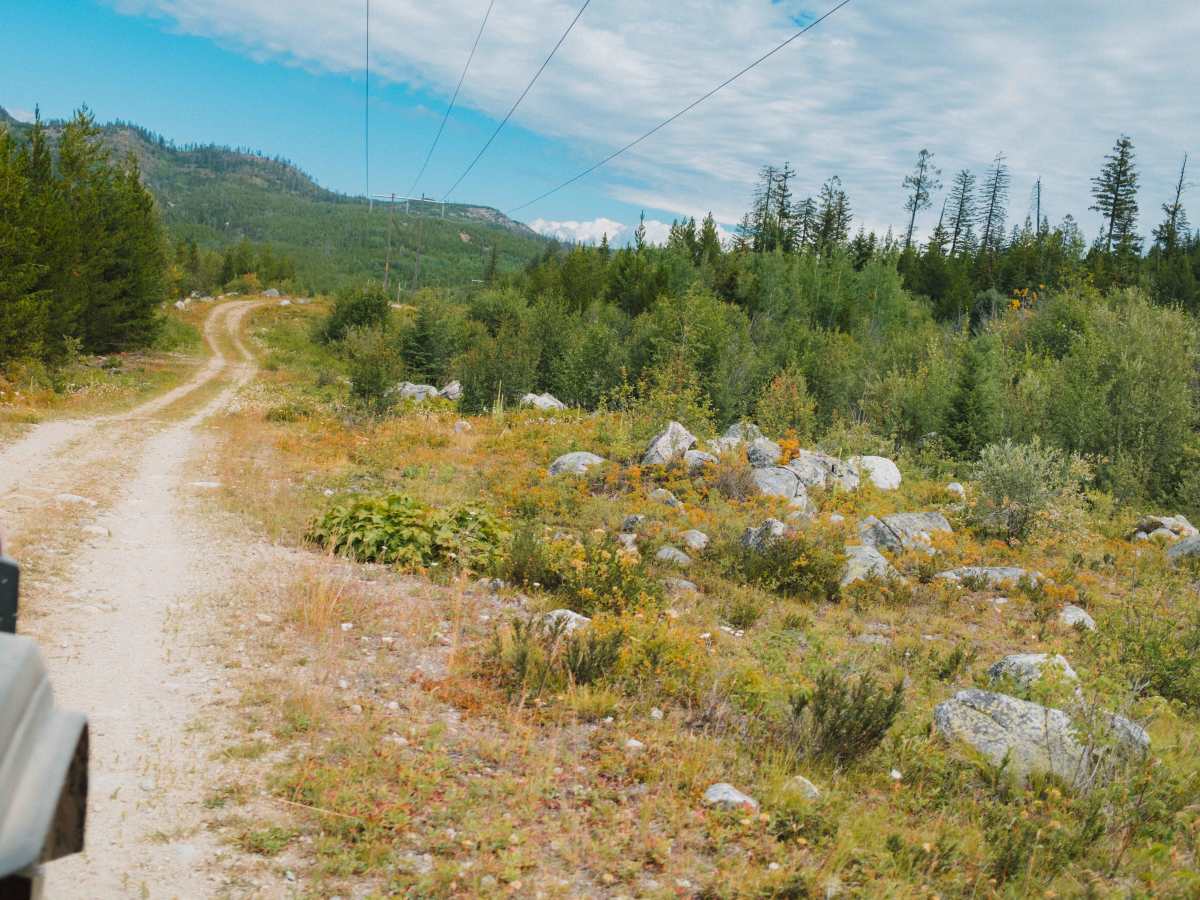
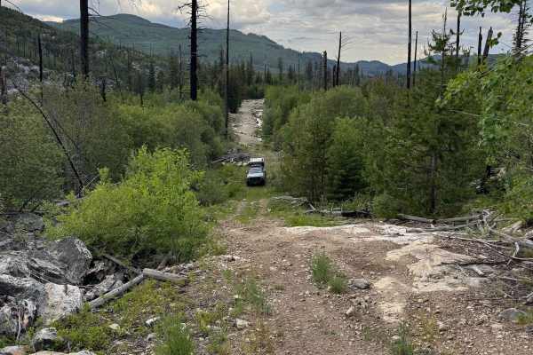
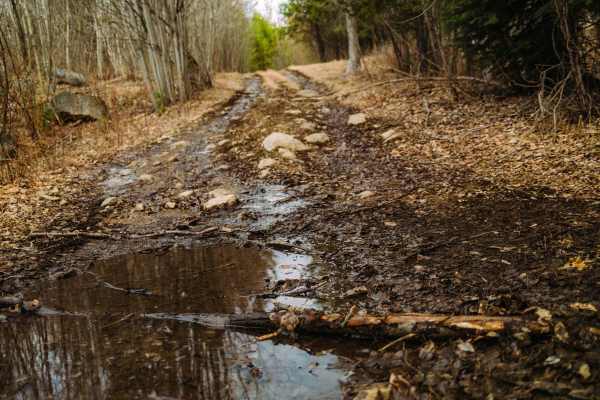
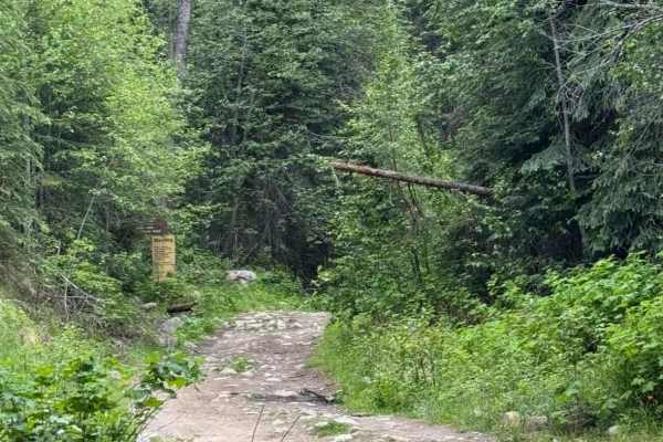
The 7 km (4.34 mi) trail takes about 45 minutes to complete one way, depending on pace and conditions. It follows a powerline corridor with packed dirt, some loose rock, and short sand portions. Halfway, you’ll encounter two gates—one for standard-width vehicles and a wider one for larger rigs; both are typically open.
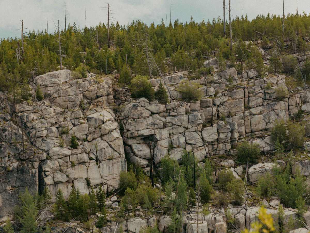
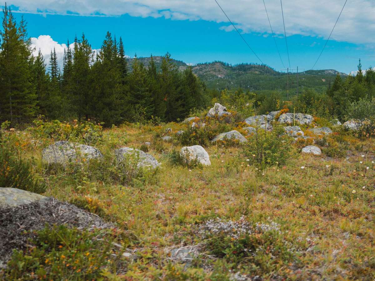
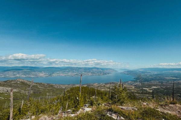
Much of the trail is lined with large rock formations, contrasting with the vegetation, creating awesome scenery. You’ll also pass wildflower meadows and clearings with panoramic views of the Okanagan Valley, including Chute Lake and the distant mountains. This trail is low on the difficulty level, with no large rocks or ruts, which makes it a peaceful yet engaging experience with a remote, off-grid feel. There is plenty of space to turn around or let other vehicles pass.
If traveling from north to south, the trail eventually leads to the Chute Lake Rd. Which leads to Chute Lake Resort.
Difficulty
The trail is mostly packed dirt with no major obstacles or deep ruts, making it accessible for most 4WD vehicles. Depending on the season, one might come across a few shallow water crossings, but nothing too challenging.