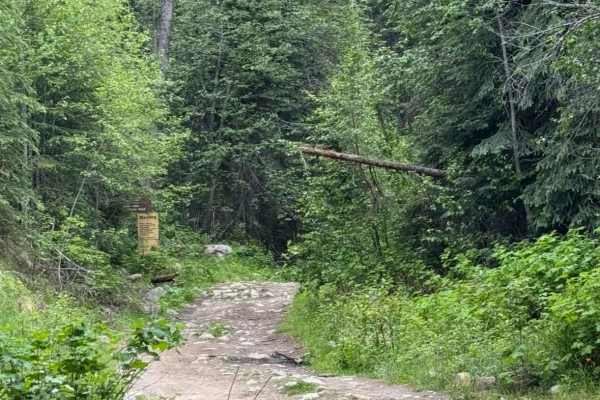
Trail Overview
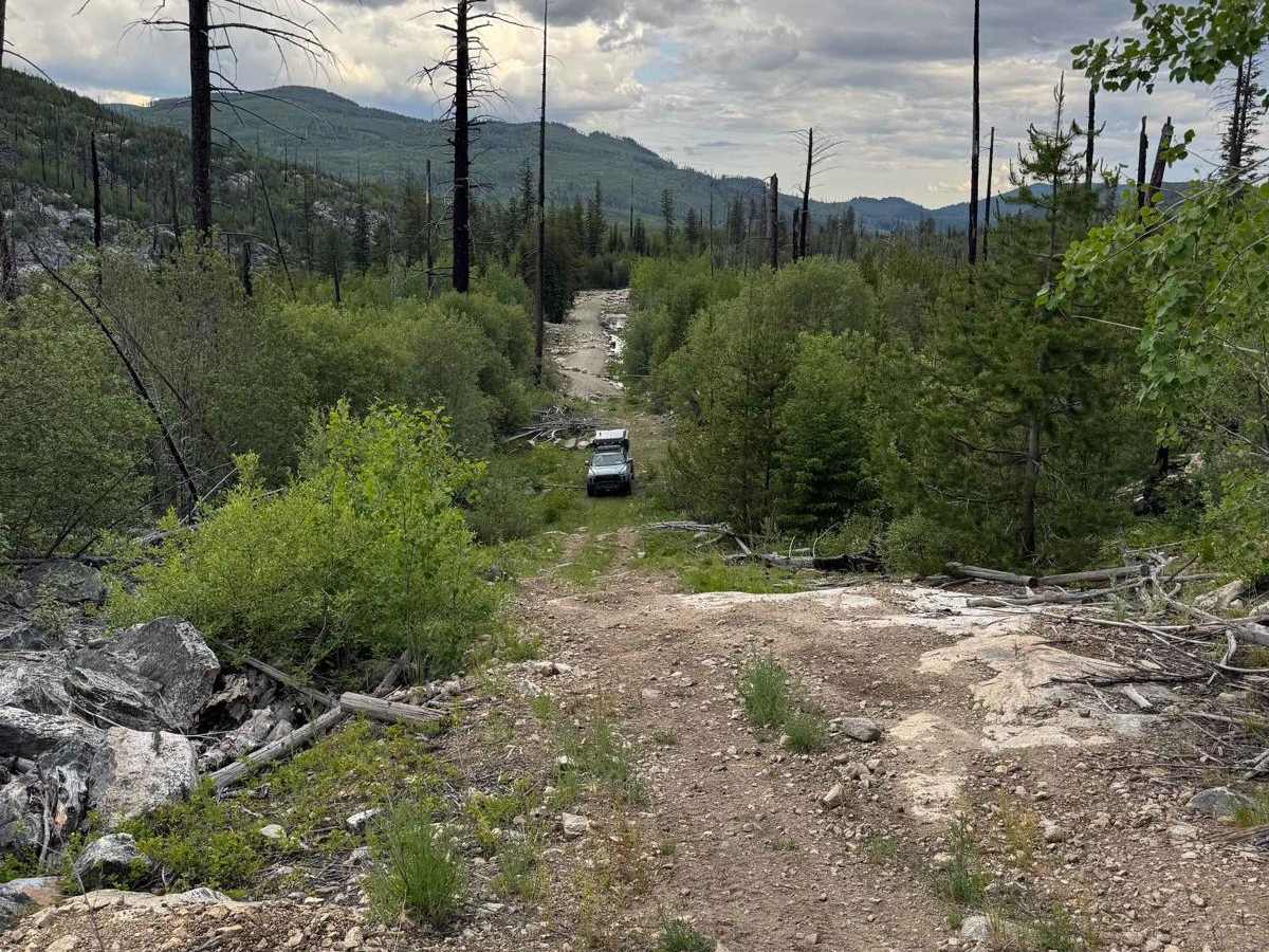
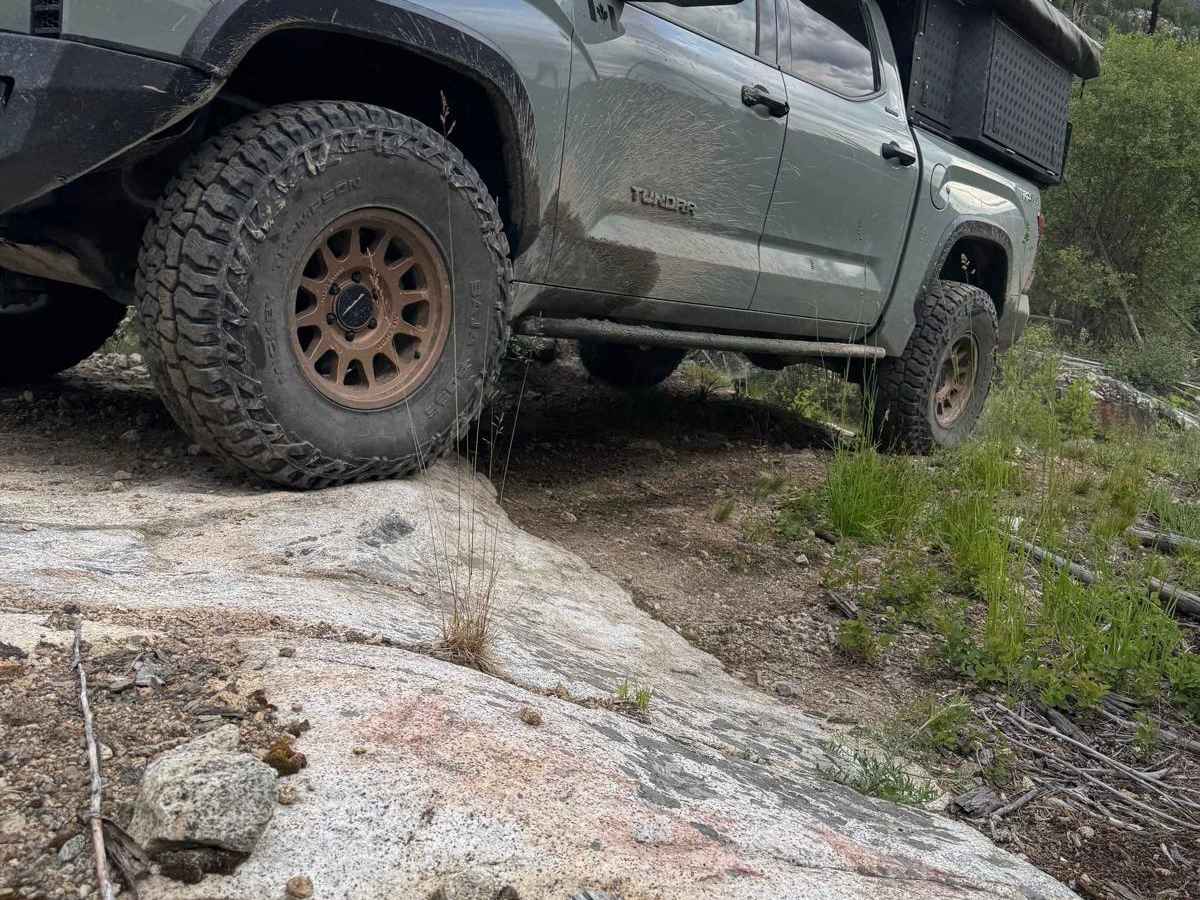
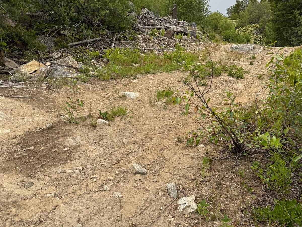
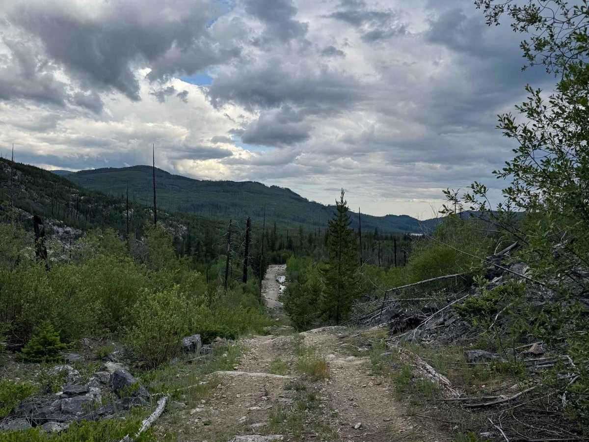
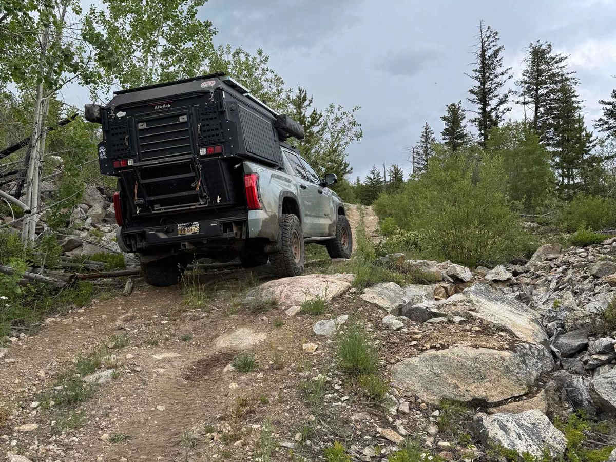
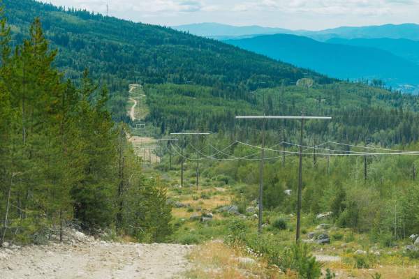
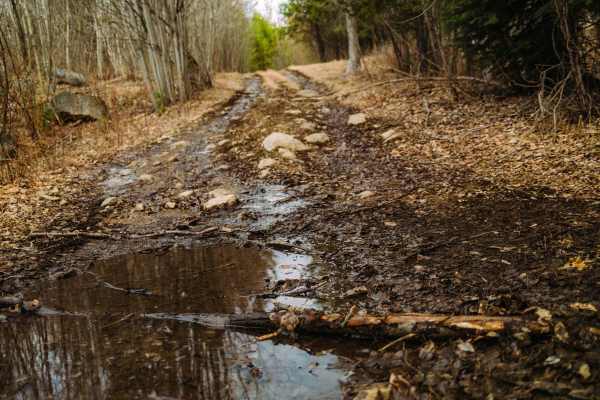
This short trail is best traveled from the south end heading north. The trail begins as a mostly gravel trail that was recently (2020) cut in for maintenance of nearby gas lines. The trail quickly turns into a challenging series of short hill climbs that lead back up to the "Rad Powerline Trail". When heading north on the trail, it will start quite mild and you will travel past a meadow, boggy field (during late spring, this area can be ruthless for mosquitoes, and therefore we say this trail is best traveled during the summer months!). The trail will transition between dirt and gravel through this area and will wind past a small creek. The trail then transforms into a hill climb, which will lead you back up to the top of the powerline trail. During the hill climb, you will encounter loose rock as well as a short rock ledge (approximately 12 inches) requiring higher clearance. At the base of this hill climb, as well as the top, there is plenty of room for two vehicles to pass or to turn around.
Difficulty
Check the recent trail reports as this trail is subject to change with weather, erosion, and washout. It is best traveled from south to north. Aside from some steep, loose rocky sections, there is only one obstacle to overcome (an approximately 12-inch rock ledge).
History
This area has a rich history tied to the Kettle Valley Railway (KVR) and the Chute Lake Lodge. The Lodge was originally a bunkhouse for the sawmill workers in the area, but later became a water stop for the steam trains that traveled through the area. The lodge has evolved over time, and today it stands as a historic retreat offering a glimpse into the past and a gateway to outdoor adventure.