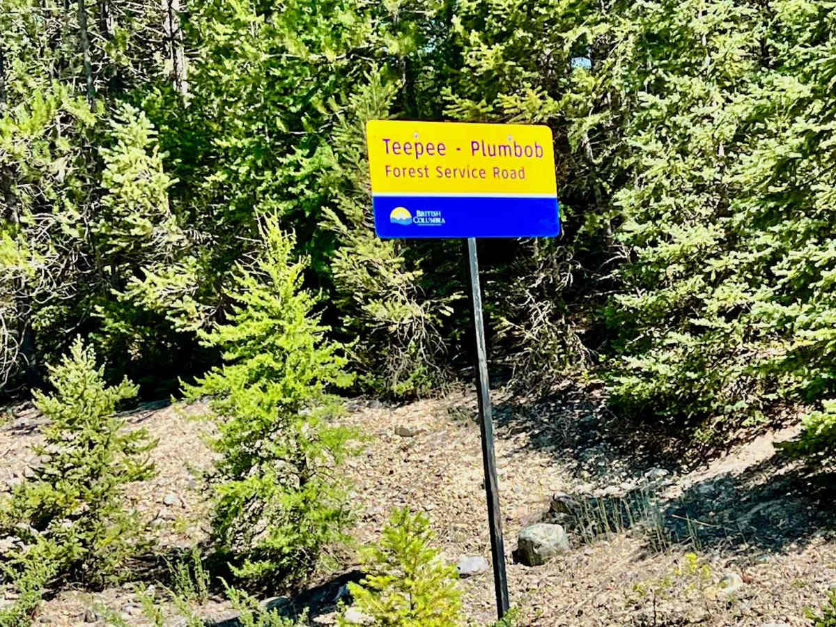
Trail Overview
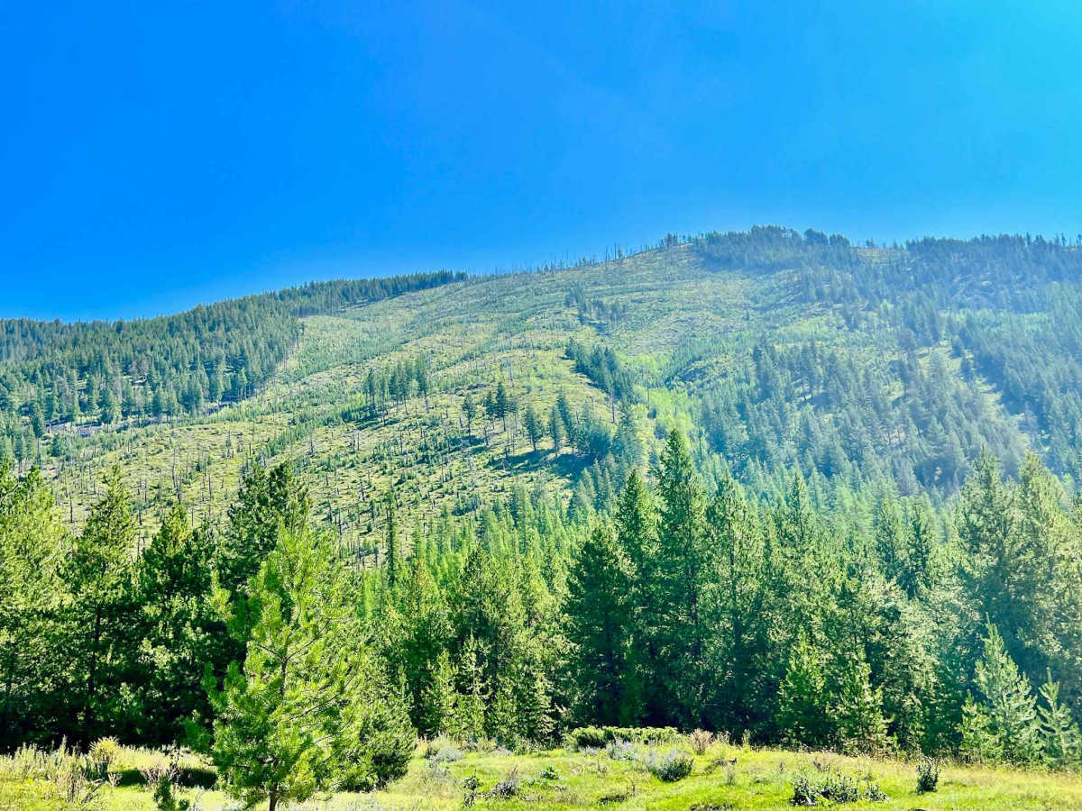
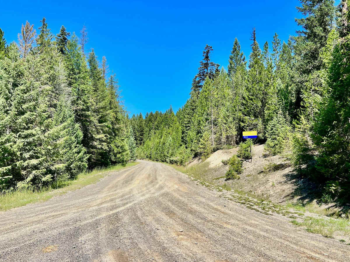
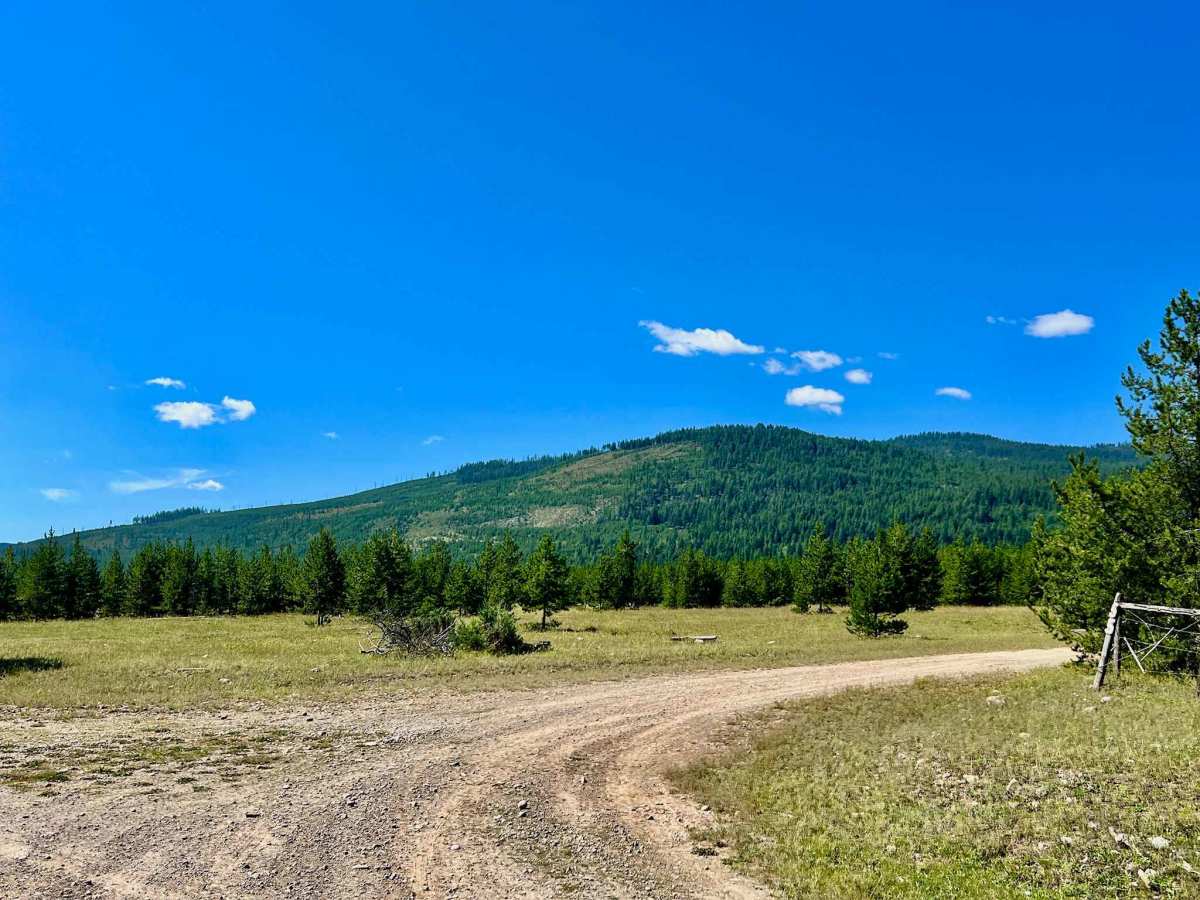
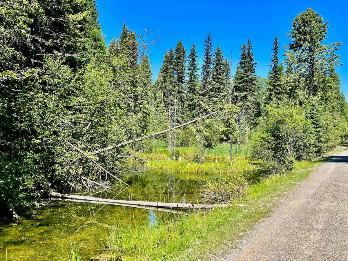
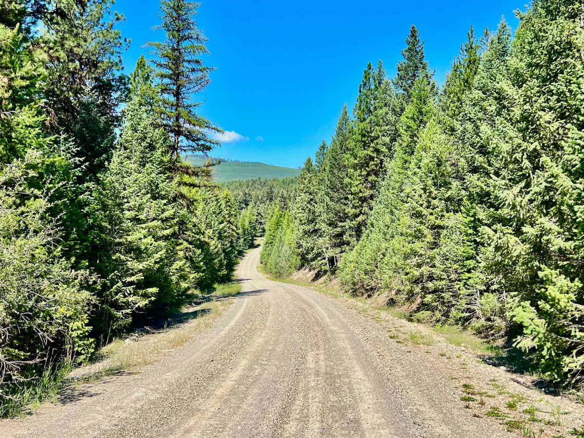
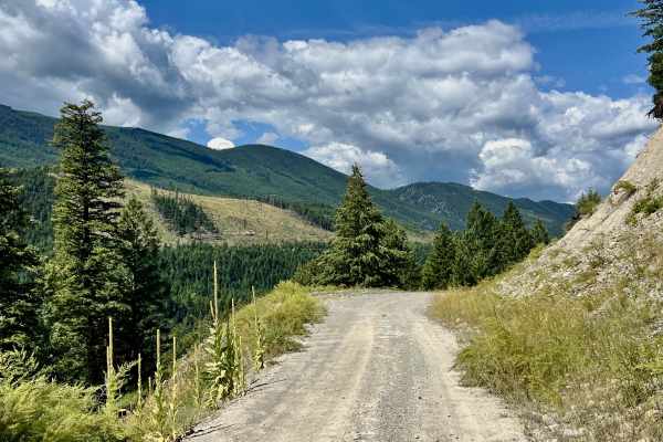
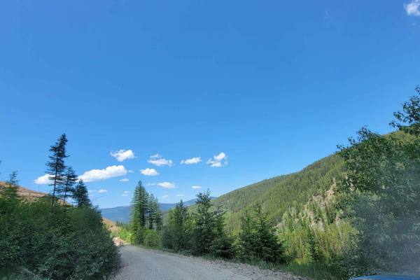
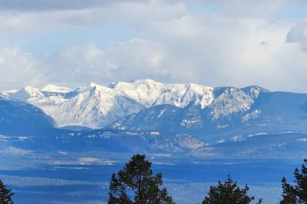
Plumbob Creek FSR is another excellent access trail in the area, forming a vital connection from the main Kikomun Road to the trails back in the Craven Creek area. There's even potential for a rewarding lookout trail leading to the top of Plumbob Mountain, offering even grander vistas. The trail is generally wide enough for two vehicles to pass comfortably without stopping and appears to have been recently graded for a smooth ride at the time of recording. This makes it a great, easy access route through the area, winding through dense stands of Lodgepole Pine, Douglas Fir, and Spruce. The occasional breaks in the trees reveal outstanding views of the surrounding mountains, offering glimpses of the rugged McGillivray Mountain Range landscape. Expect one bar of Verizon cell service that fades in and out, making offline maps essential for reliable navigation. Keep an eye out for White-tailed Deer and various bird species typical to these forests.
Difficulty
This trail is easy, well-graded, and wide enough to pass oncoming traffic without pulling off. It is an excellent access road choice.
History
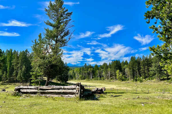
The Plumbob Creek FSR is a direct link to the region's historical narrative of resource extraction. Like many such routes in the Koocanusa area, this Forest Service Road (FSR) was likely established for logging, facilitating the movement of timber from the rich forests to mills. These FSRs, now cherished by recreationalists, are the enduring arteries of an industry that significantly shaped the Kootenay landscape. This land, as with all of the Koocanusa region, is part of the traditional territory of the Ktunaxa people, whose deep connection to these mountains and waterways predates any recorded trail or road by millennia. The distant mountains you glimpse might even bear witness to the profound changes brought by the creation of Lake Koocanusa in the 1970s – a monumental project that redefined the valley.