Trail Overview
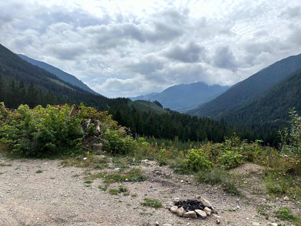
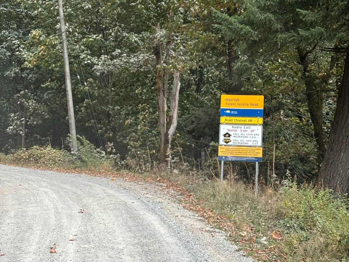
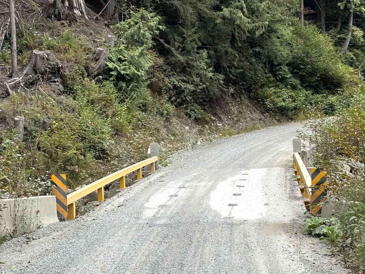
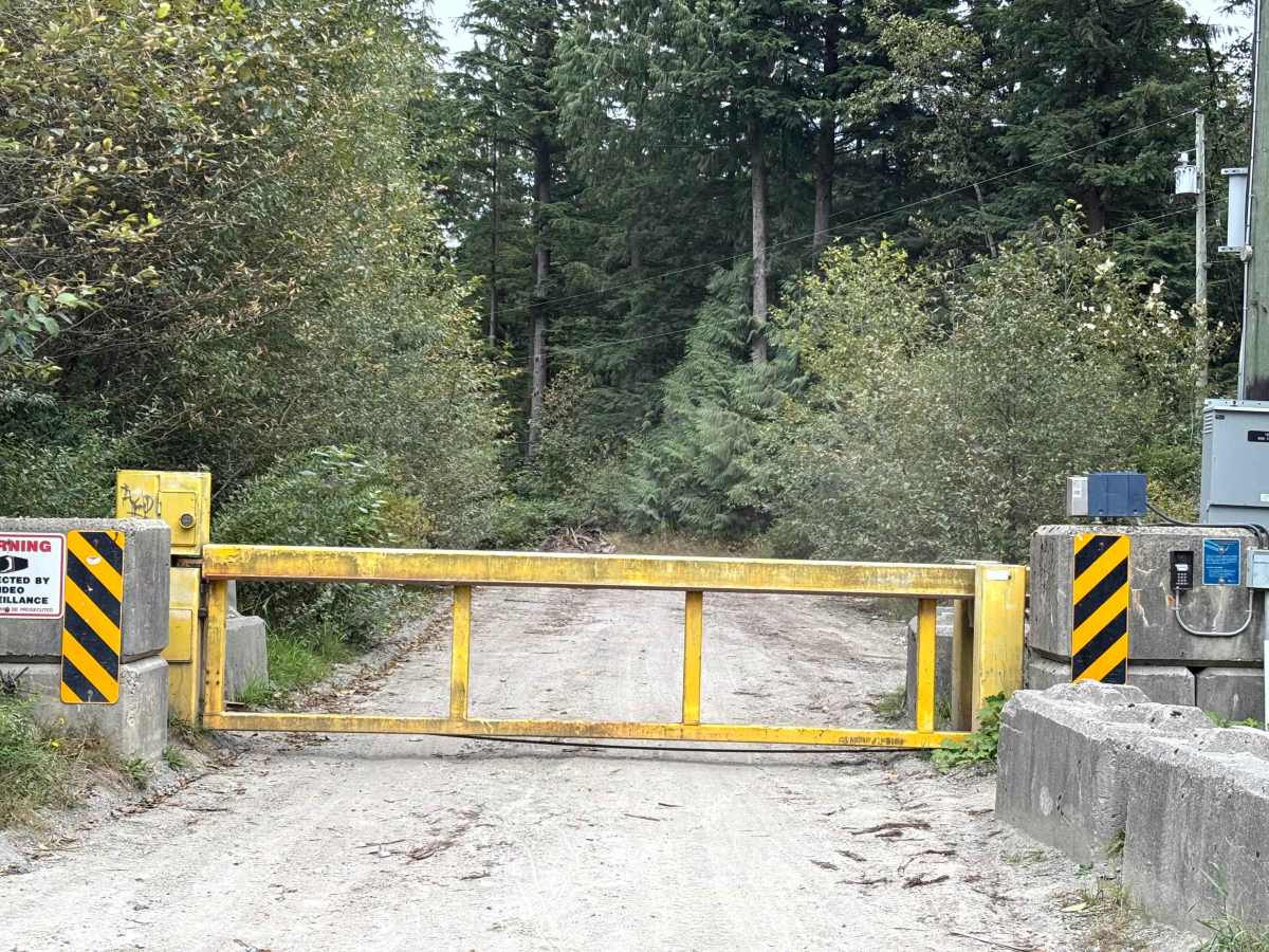
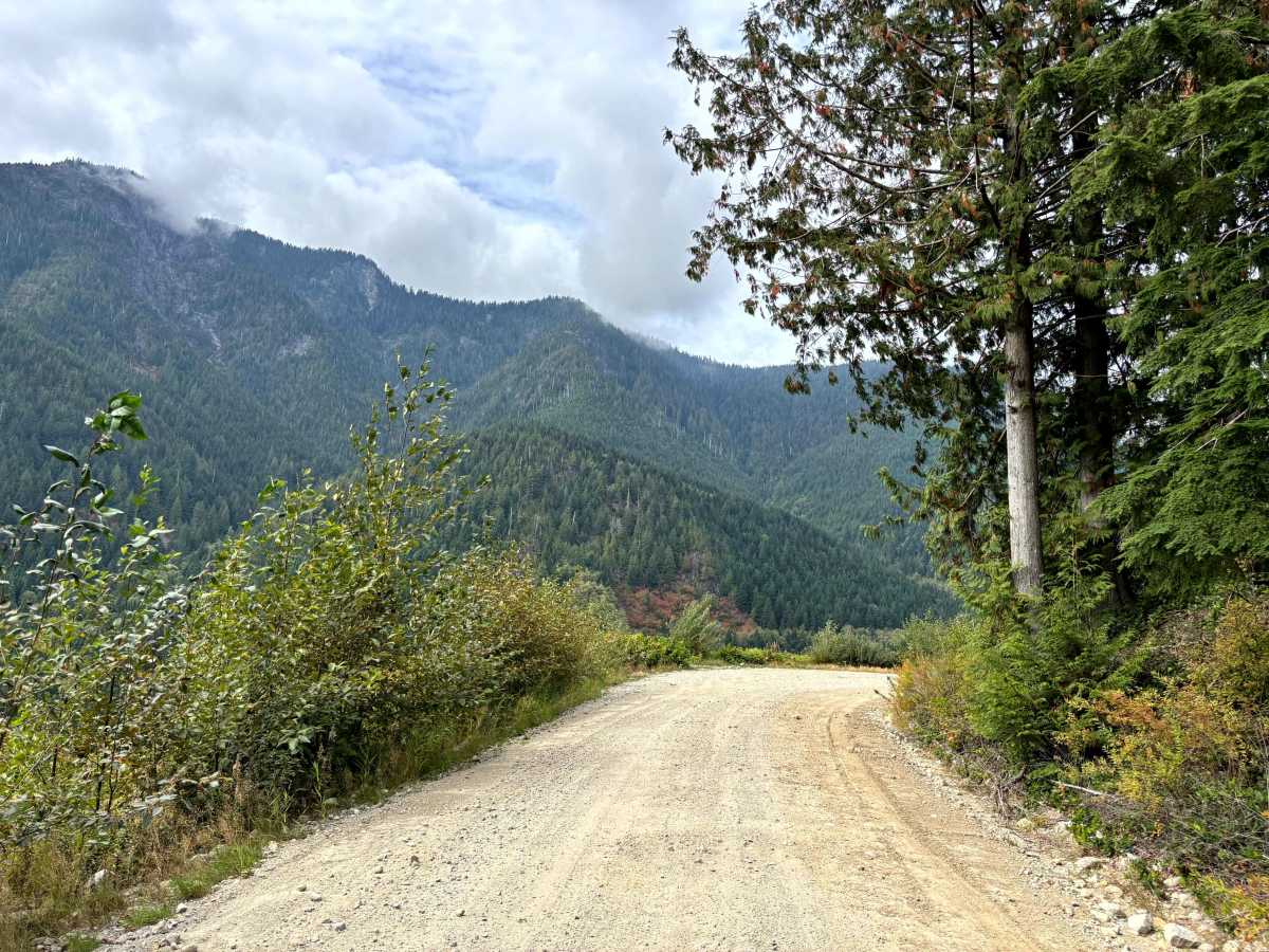
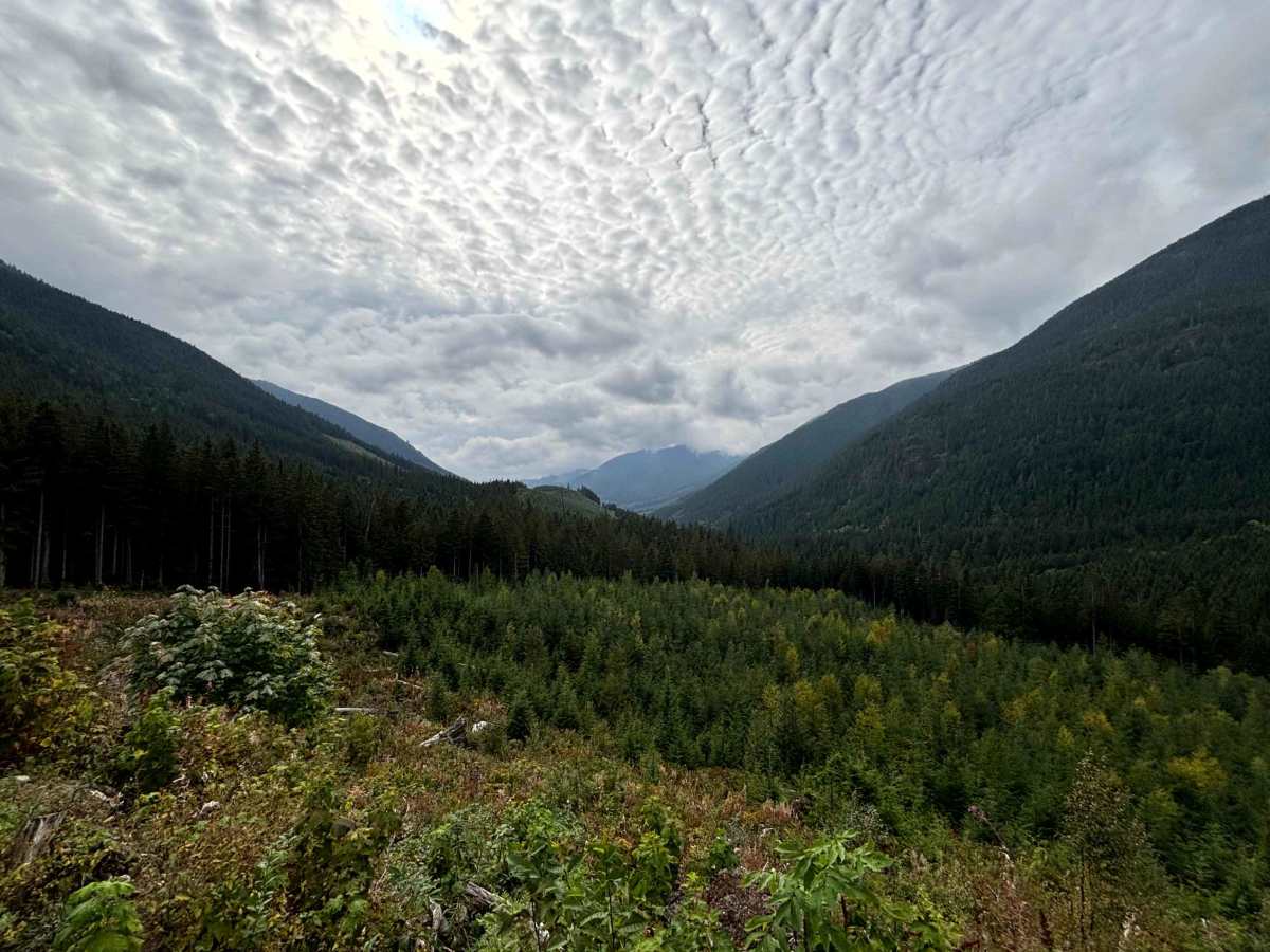
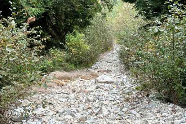
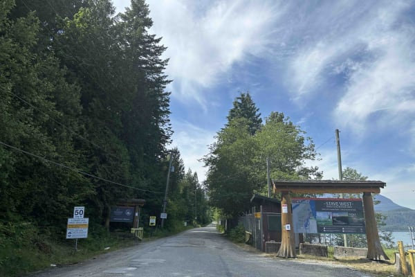
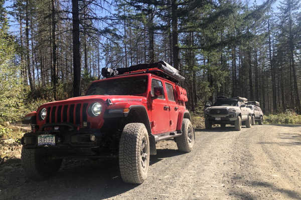
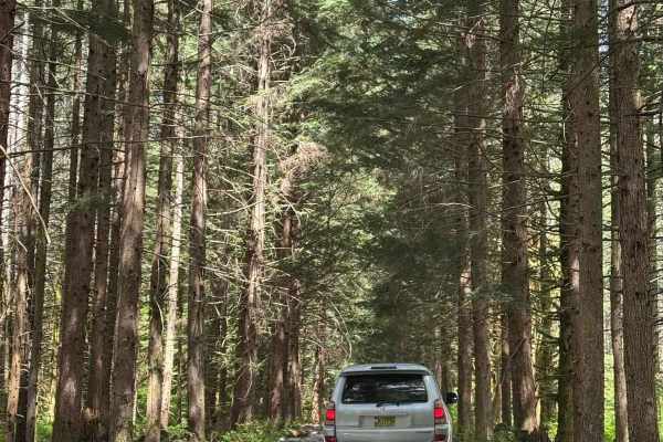
Norrish Creek is a well-maintained Forestry Service Road that heads up a scenic valley east of Mission, BC. Access to the upper section of the trail is limited by a gate at 6.8 km, requiring a code from either the 4WD Association of BC or the City of Abbotsford. The road surface is gravel with a few potholes and minimal washboard and is in very good condition all the way to the switchbacks at 17.5km and 18.5km. Both switchbacks have some loose gravel and are a bit steeper than the rest of the trail. After the branch leading to the Dickson Lake Storage Reservoir Facility Gate at 19.3km, the trail gets a bit rougher with more loose rocks and some water bars. The trail has views of the valley and surrounding mountains all the way up, but the best viewpoint is at a wide corner with a fire pit at 11.2km. This spot has an unobstructed view back down the valley. Unfortunately, there are no good views of Dickson Lake. There are several side trails to explore and a few campsites, including two at the end of the trail. Some maps show this trail continuing along and past Dickson Lake. These maps are out of date. The trail disappears and is impassable after 20.5km.
Difficulty
The road is generally in good condition, with some potholes and minimal washboarding. There are 2 switchbacks with loose gravel and small rocks at 17.5km and 18.5km. Beyond the branch at 19.3km, there are some water bars that may limit low-clearance vehicles.

 Offroad