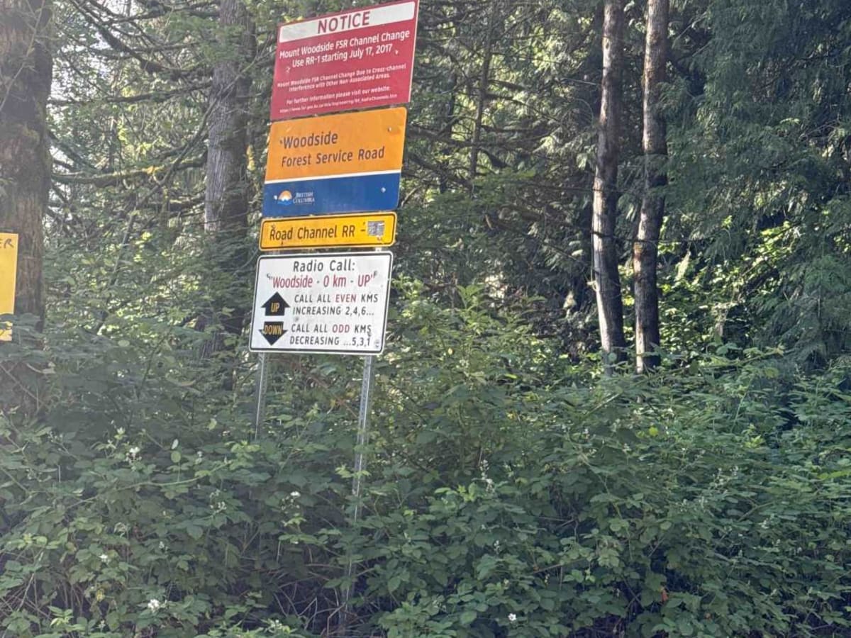
Mount Woodside

Total Miles 8.5
Technical Rating
5 Moderate
Best Time Spring, Summer, Fall, Winter
Trail Type Full-Width Road
Accessible By
Open Trail Map

Trail Overview

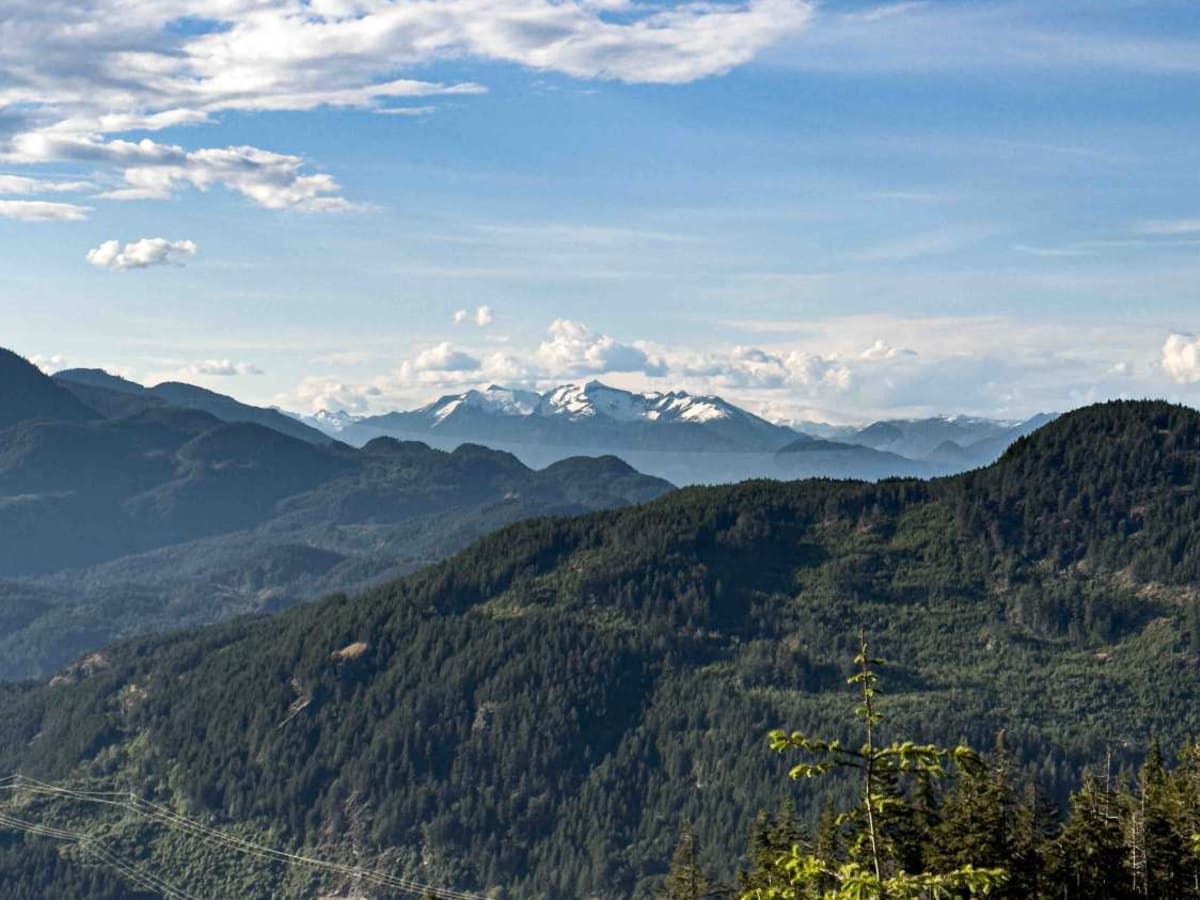
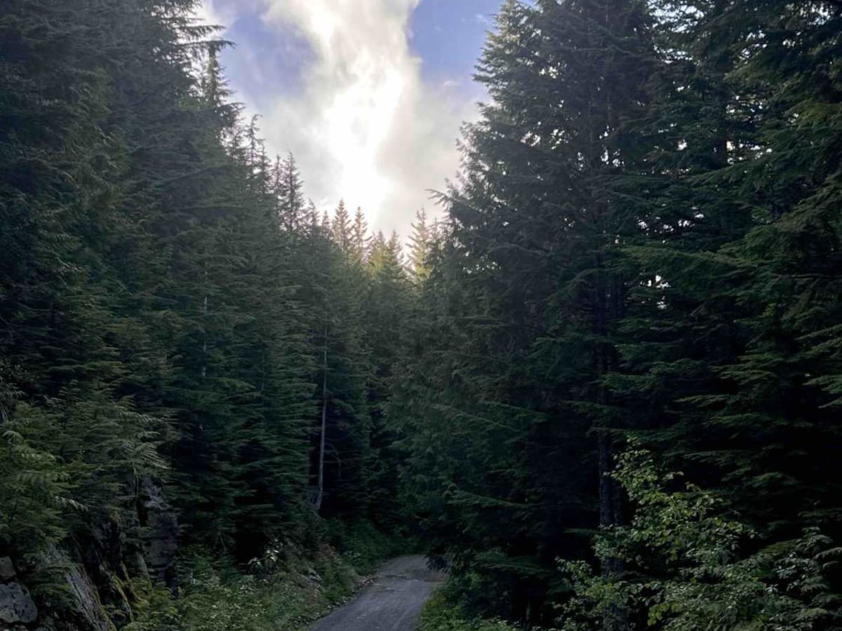
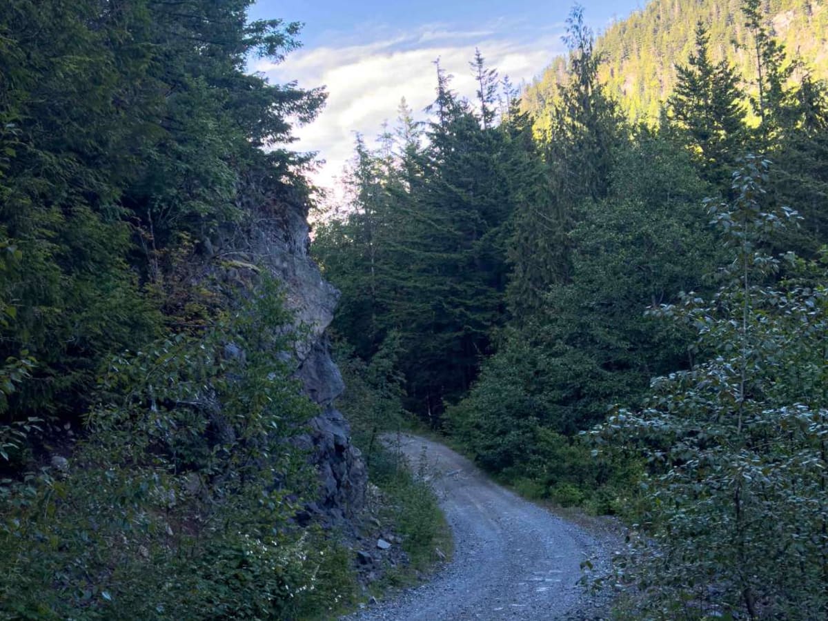
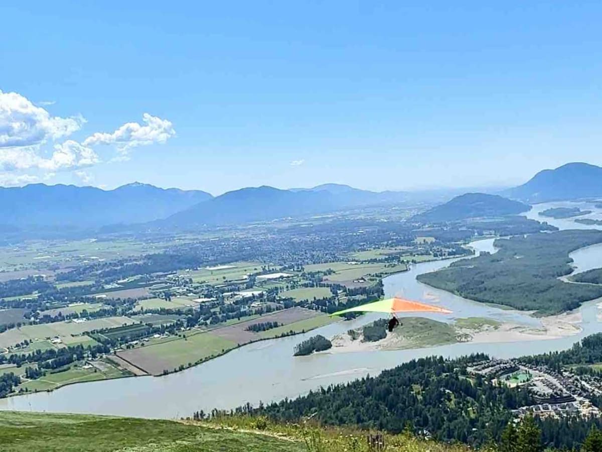
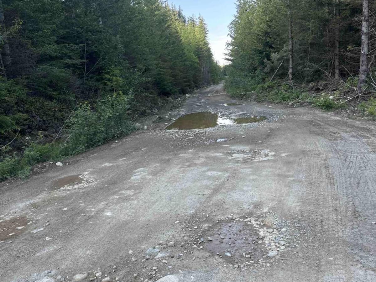
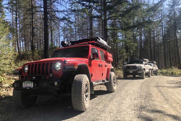
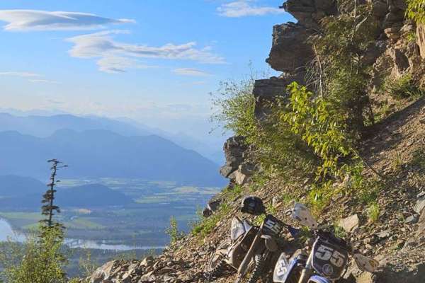
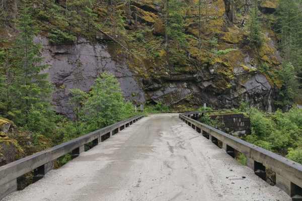
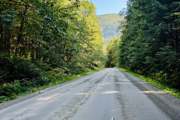
This trail starts out as two car widths wide and has a few steep sections along the way. You'll find yourself going through beautifully forested areas, as well as cut blocks, with periodic spots to stop and take photos of the view below. At 4.2 km, it's worth taking the spur to the left to the hang gliding/paragliding launch to get some amazing views of the Fraser Valley. If you're lucky, you might even see someone leap off the launch! This spur has a couple of fairly steep hills with parking at the end. After 10.8 km, the trail changes, narrowing to one car width with sections where you'll run into brush that could scratch your vehicle. The water bars start out very gentle but get deeper as you go, making you choose the least destructive path to protect your hitch and back bumper. A high-clearance vehicle is essential! The rocks to navigate around and ledges to climb up and over get larger as you go. Near the end of the trail, you'll see hydro towers and the famous "Ramp Rock." Ramp Rock is exactly what it sounds like: a fairly steep rock that looks like a ramp. On weekends, this trail gets busy with people often waiting in line to try their luck at getting as high on Ramp Rock as possible without sliding down. During the week, there are usually only a few others on the mountain trail. Throughout the trail, you'll find spots for 1-4 rigs for dispersed camping. Cell service is spotty all the way up and slightly more consistent at the top, but not reliable. A satellite device is definitely a plus on this trail. The views are well worth the drive up there but make sure you air down and utilize 4lo if you have it!

Photos of Mount Woodside

Difficulty

This road goes down to a narrow single lane part way up as rocks get larger, requiring you to pick your line. There are a couple of log ledges to climb up onto, steep sections throughout, as well as deactivations requiring higher clearance vehicle and lots of caution to avoid knocking off your back hitch or bumper.

History

Previously known as 'The Mountain", Mount Woodside was named after Frank Everett Woodside (1874-1964), who was involved with mineral exploration in the area.

Technical Rating

5

Status Reports

Add Status Report
Freckles CM
May 09, 2026
Open
All OK. Very steep, good place to test if you have engine or coolant issues, or poor breaks. Ensure your vehicle is well maintained. Dusty and steep hill climb s and descent
keyur p
Apr 21, 2026
Open
Noah johnson
Dec 28, 2025
Open
Trail very icy. Was unable to make to top (though i had no chains or studded tires) and watched 2 people get stuck. Unless your prepared for driving up a steep sheet or 4 inches of ice ide hold of this one.
Andy Moore
Oct 23, 2025
Open
Active logging in the first 3km. Easy enough, fast, didn’t bother to air down.
John Adamson
Sep 27, 2025
Open
Steep on the way down. Smoky brakes. Engine braking was still too fast down the hill. Took breaks on the way down to allow them to cool.
owen riding
Jun 24, 2025
Open
Good conditions on the road the entire way up, little bit lose gravel on the steep bits but nothing to worry about.
Youssef Elmalty
May 17, 2025
Open
The trail is gravel throughout, with occasional deep potholes. It’s a high-elevation route, and fog can become dense at times.
Matt Brennan
Jan 26, 2025
Open
The FSR was dry and easy to drive. Once we passed the gate near the top, the road became much more rougher but nothing too difficult to handle. It's a great way to wrap up a weekend while watching the sun go down.
Tony Barbera
Dec 16, 2024
Open
Foot of mud in some area, small amount of snow at the top. Some technical rocky areas but nothing my truck couldn’t handle. I did the trail in a stock 1994 f-250 4x4 with street tires. So if that could do it. Anyone could. Awesome views, definitely an awesome place for any beginner off-roader!

Mount Woodside Trail can be accessed by the following ride types:

  • Single Track
  • 50 Inch
  • 60 Inch
  • High Clearance
  • Full Width

Mount Woodside Map

The onX Offroad Difference

onX Offroad combines trail photos, descriptions, difficulty ratings, width restrictions, seasonality, and more in a user-friendly interface. Available on all devices, with offline access and full compatibility with CarPlay and Android Auto. Discover what you're missing today!

Open Trail Map