Trail Overview
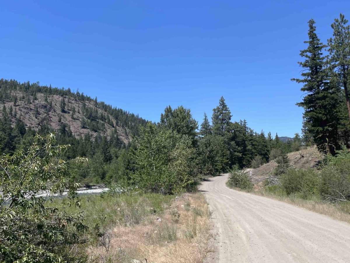
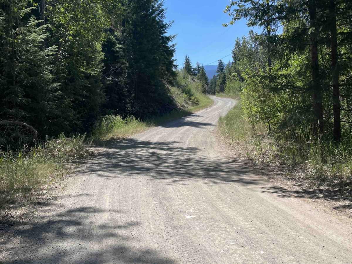
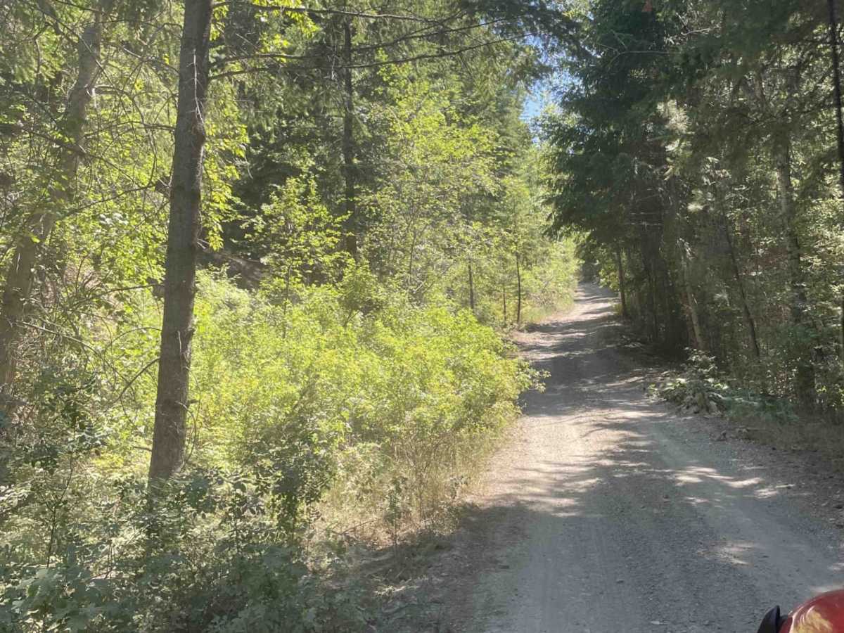
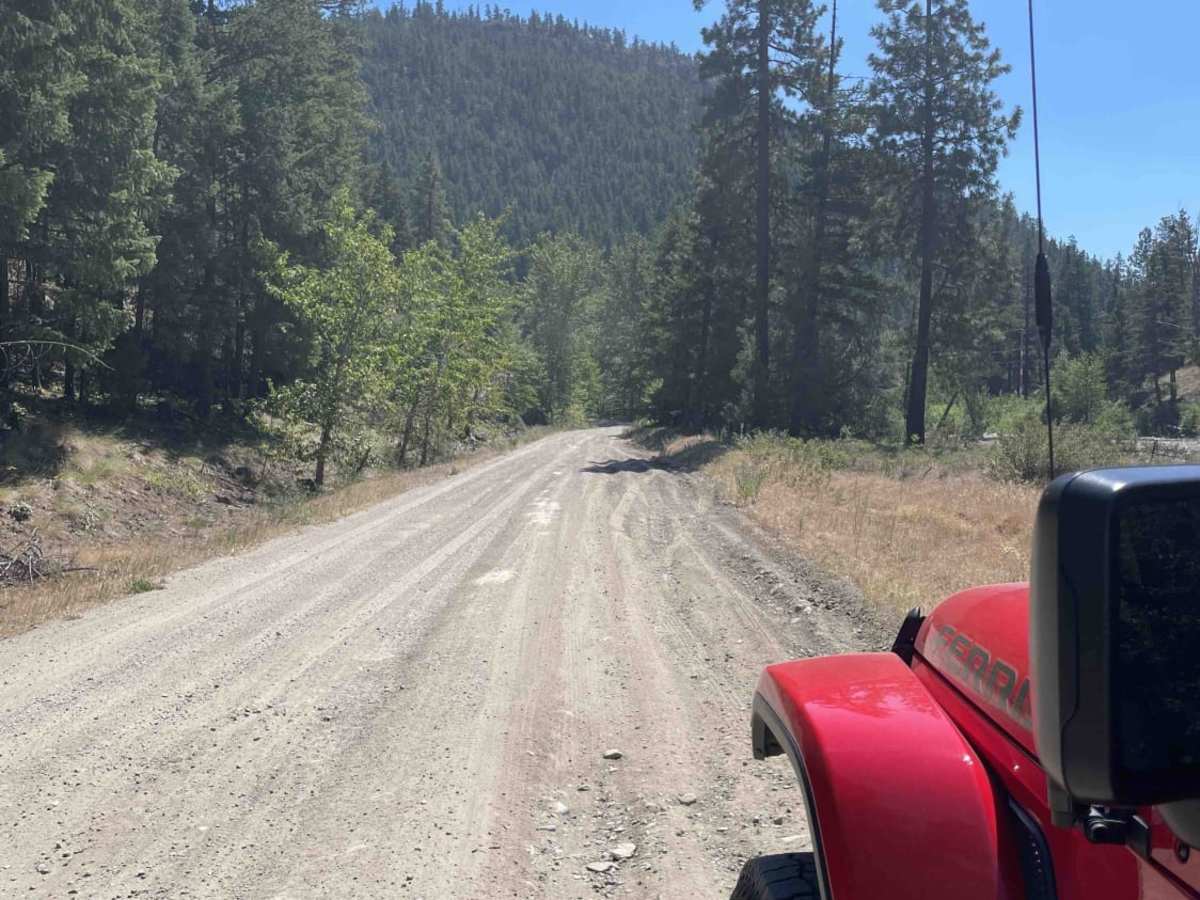
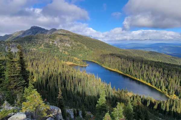
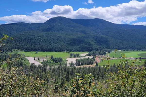
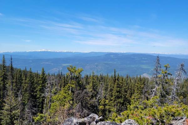
This scenic 3.7-mile Forest Service Road along Spius Creek is ideal for overland beginners and intermediate offroaders seeking excellent riverside camping and easy access to the Canadian wilderness. Starting at an elevation of 1,788 feet and climbing gently to 2,047 feet, the route offers a straightforward drive with an overall technical rating of 3. The main unpaved road consists primarily of well-maintained gravel, making it accessible to most high-clearance four-wheel-drive vehicles. Along the way travelers will navigate mild elevation gains of around 370 feet while enjoying sweeping views of the canyon and direct access to numerous dispersed camping spots right on the water's edge.
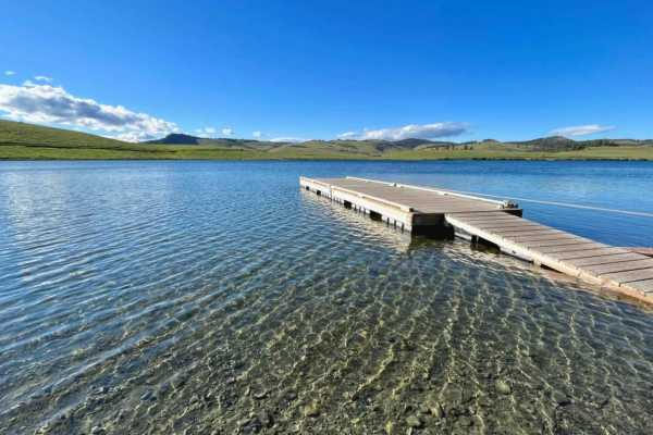
While the primary Forest Service Road remains relatively smooth, the surrounding network of spur trails provides extra excitement with deep ruts, mud, and water hazards leftover from the annual spring snowmelt. Drivers should exercise caution, as this is an active logging corridor where industrial forestry trucks have the right of way; utilizing a radio to broadcast kilometer locations is highly recommended for safety. The route terminates at the peaceful Little Box Canyon Recreation Site, a perfect spot to pitch a tent, fish or simply enjoy the rugged beauty of British Columbia's southern interior. Because of winter snowpack and muddy spring conditions, the best time to explore this route is from late spring through fall when the trails are drier and more manageable.
Access Description
The route follows an active logging corridor, meaning industrial forestry trucks always have the right of way. Drivers are strongly advised to use a resource road radio to call out their kilometer markers along the way. While there are no vehicle permits required, standard recreation site rules and wilderness camping regulations apply.