Trail Overview
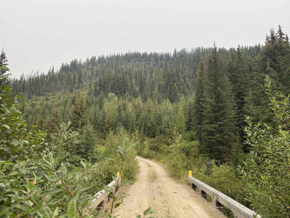
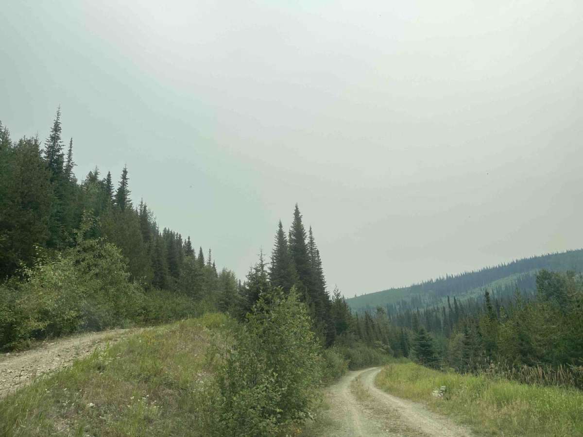
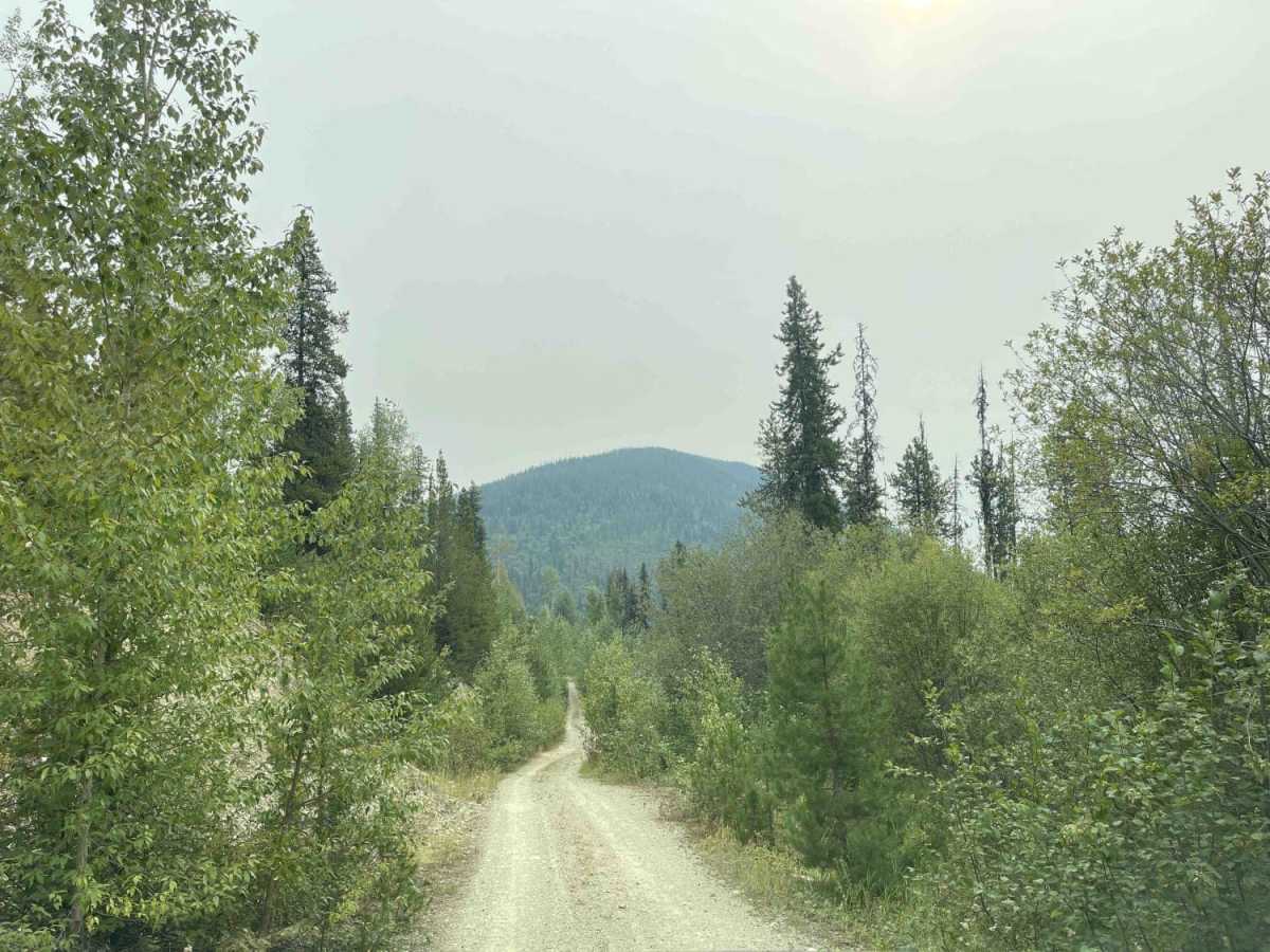
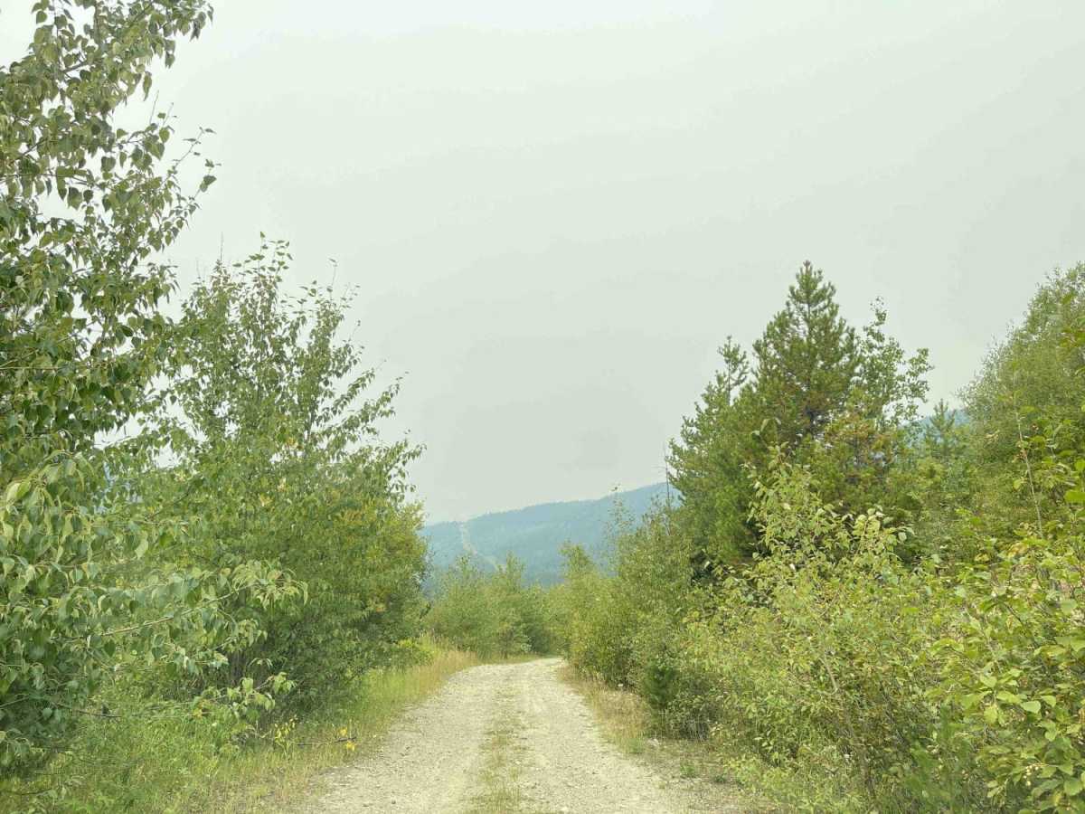
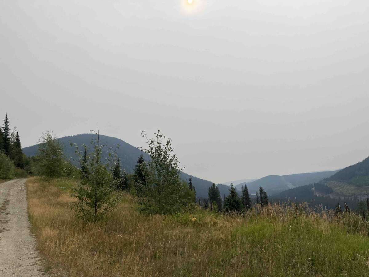
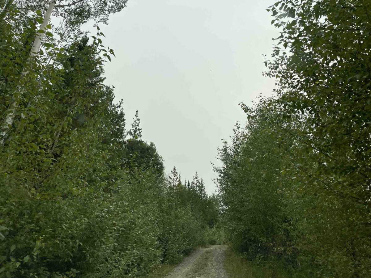
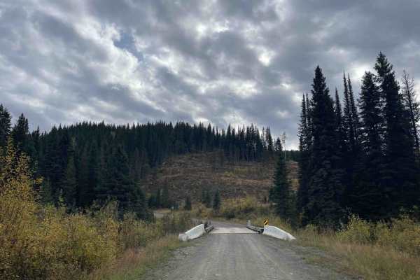
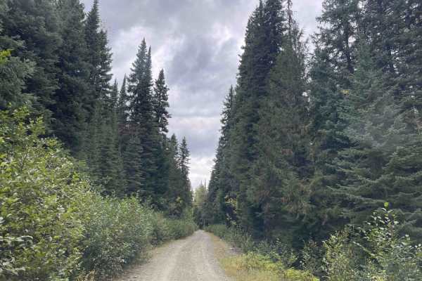
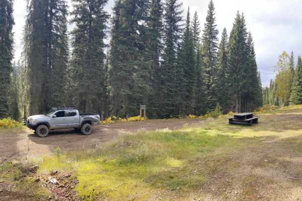
Eureka Road offers an unpaved, moderately challenging mountain drive through dense brush that serves as an excellent gateway to scenic snowmobile and multi-use trails near Monashee Pass. Spanning approximately 2.5 miles with a technical rating of 3, this route is ideal for offroaders seeking a slower, more rugged journey through the British Columbia backcountry. The trail is characterized by tight brush clearances that can scrape vehicle sides, along with bumpy, slow-going stretches that require steady navigation. Drivers should prepare for rocky terrain and various washed-out sections that have developed over seasons of weathering.
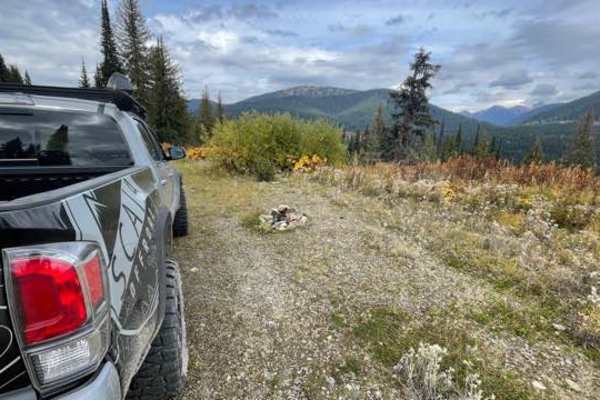
Starting near the Vernon-Slocan Highway (Highway 6) at an elevation of 3,979 feet, the road climbs steadily to a peak elevation of 4,842 feet, yielding a cumulative elevation gain of around 972 feet. The route terminates near Wauchope Creek on its eastern end, offering access to several smaller side spurs suitable for ATVs, dirt bikes, and winter snowmobiles. High-clearance vehicles are highly recommended due to the rough, uneven surface and the potential for deep ruts. While challenging for larger rigs due to the overgrown brush, the rewarding mountain views and connection to local trail networks make this a worthy excursion for properly equipped adventurers.