Trail Overview
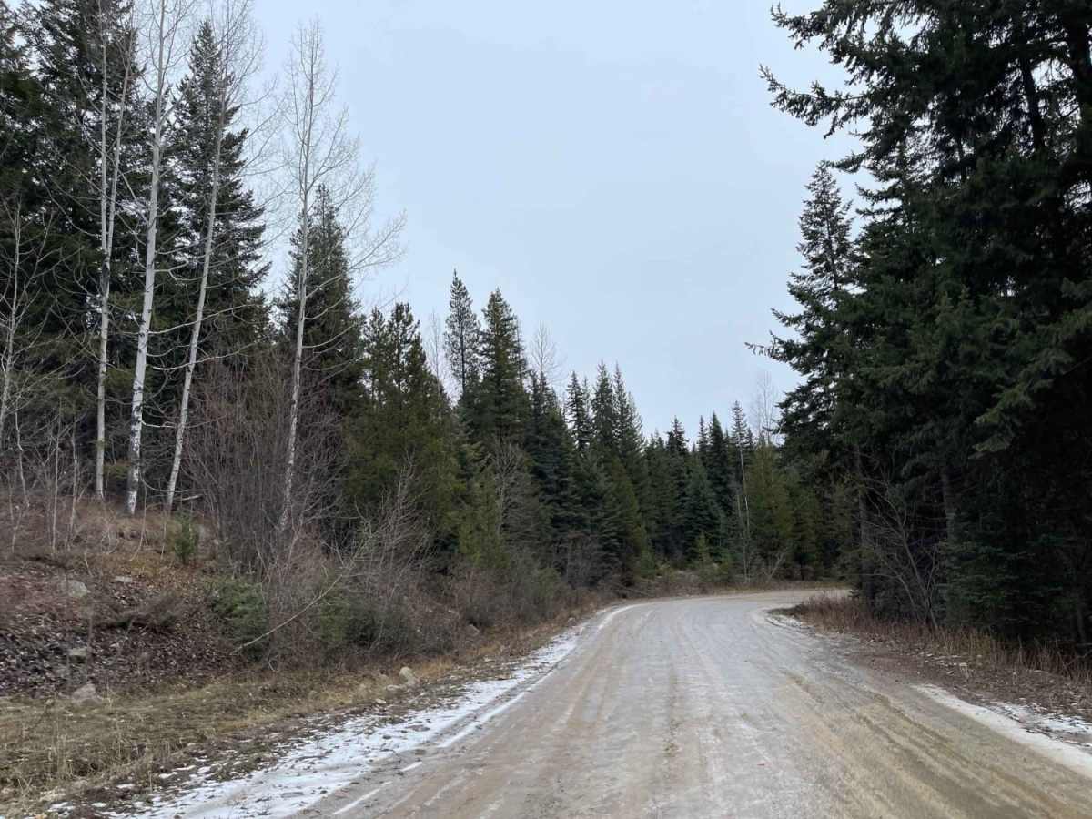
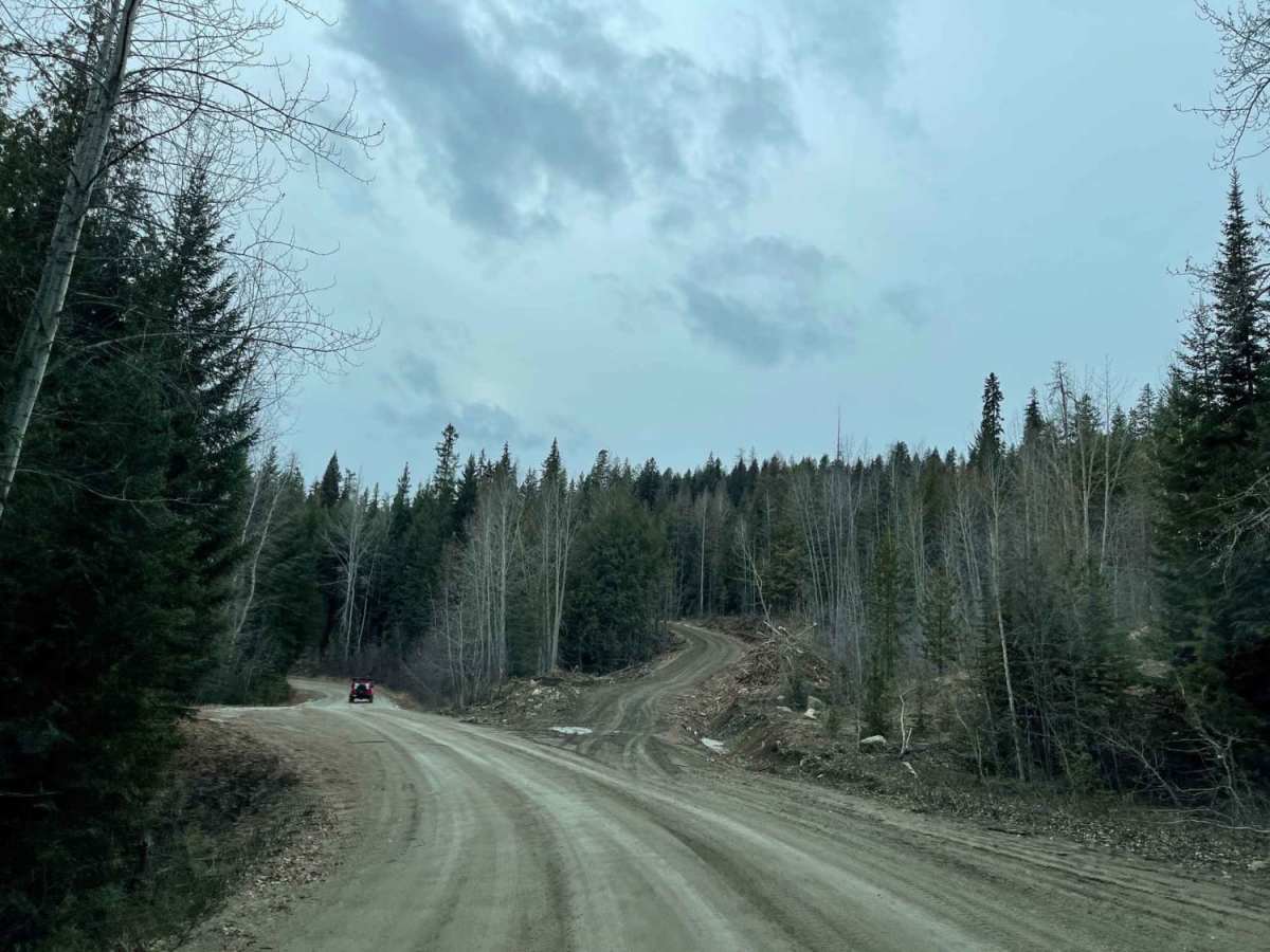
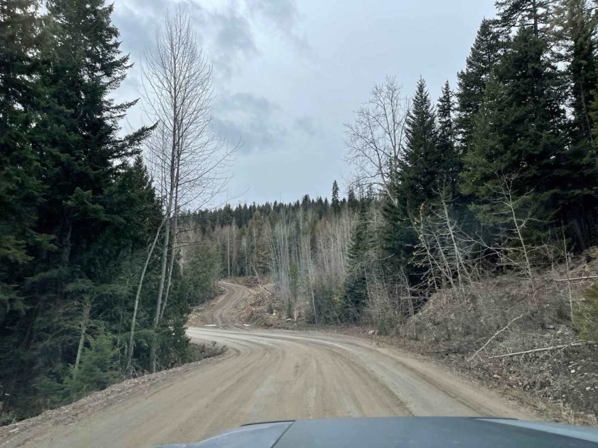
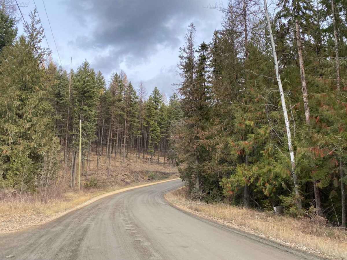
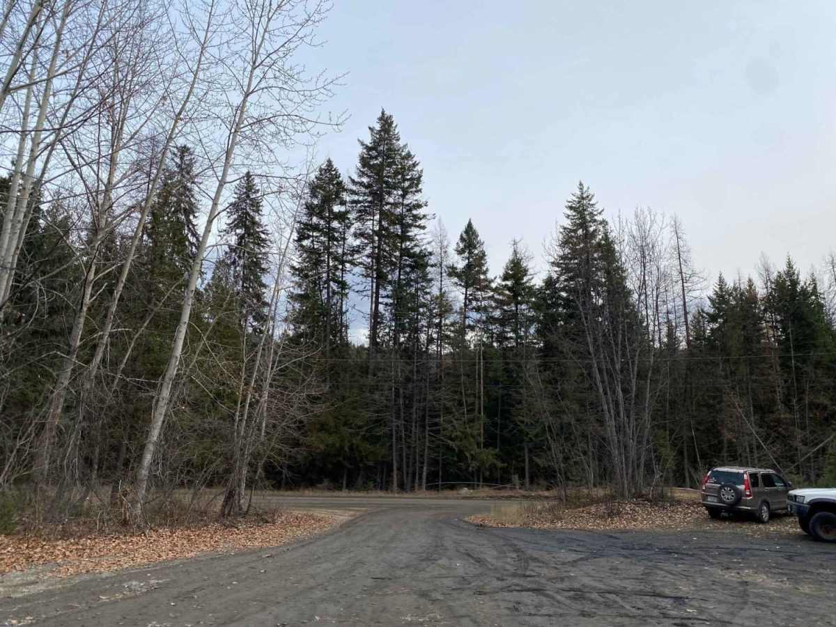
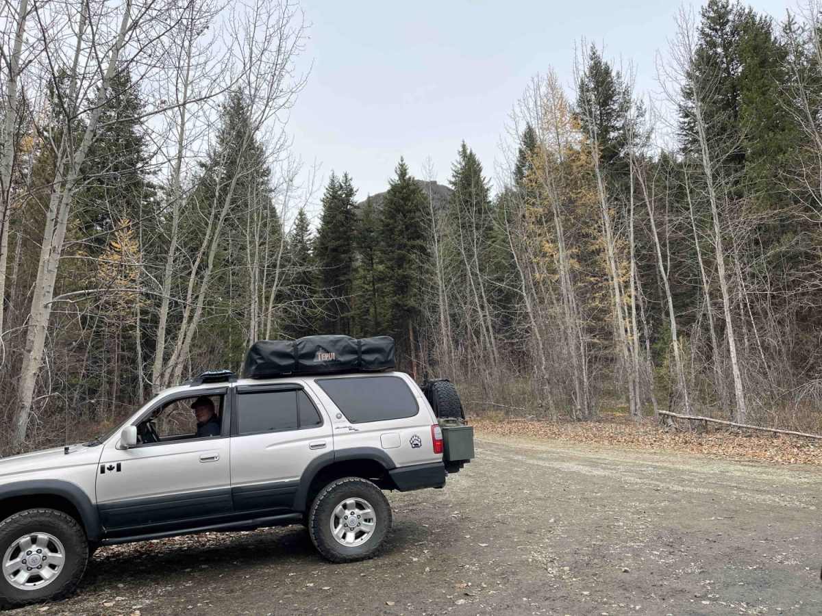
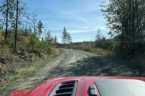
Bluenose Forest Service Road (FSR) is an accessible gravel route that serves as a gateway to the scenic backcountry of the North Okanagan, making it perfect for outdoor enthusiasts, hikers, and anglers looking to explore the highlands south of Lavington. Starting from Whitevale Road at an elevation of approximately 2,180 feet, this well-maintained 2.5-mile road steadily climbs over 1,120 feet through dense coniferous forests to reach a high point near 3,300 feet. While the route is generally easy and negotiable by most standard passenger cars, SUVs, and trucks, drivers should prepare for typical forestry road conditions including occasional deep potholes, washboard surfaces, and active logging traffic.
The road provides critical access to a network of higher-elevation spur roads, connecting OHV trails, and recreational hotspots, including the trailhead for the popular Bluenose Mountain hiking trail. Additionally, the surrounding backcountry features several stocked lakes renowned for rainbow trout fishing, making this a popular launching point for multi-sport day trips.
Access Description
There are no fees or permits required to travel on Bluenose Forest Service Road. As an active forest service road, users should watch for logging trucks and drive with headlights on. The road is not maintained in the winter, and snowy or icy conditions can make it extremely slick and hazardous without four-wheel drive.