Trail Overview
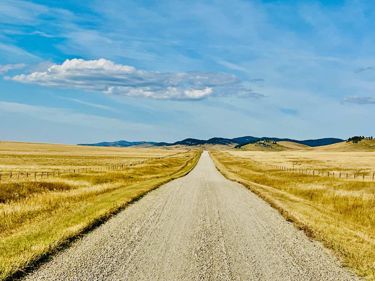
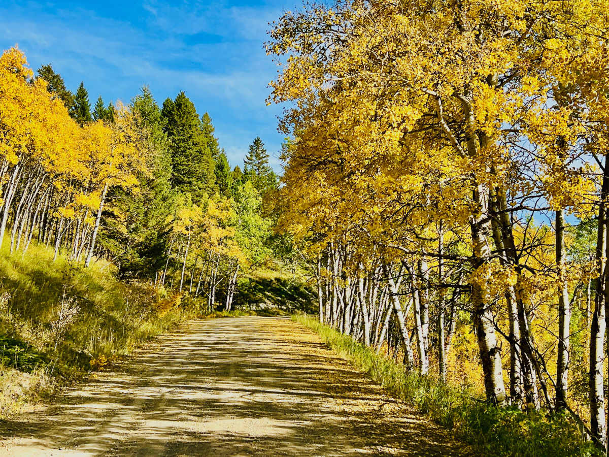
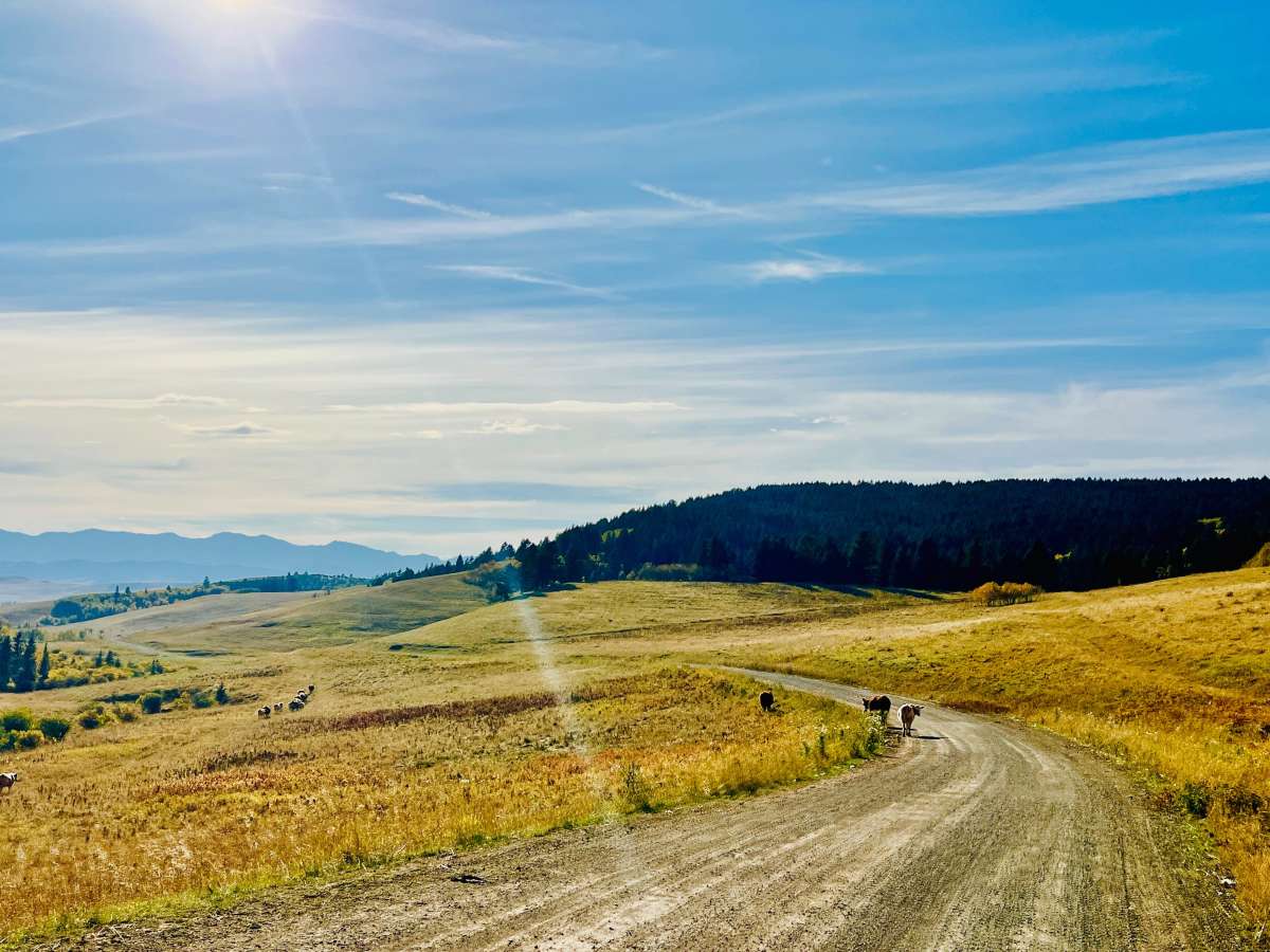
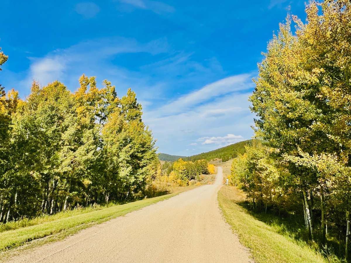
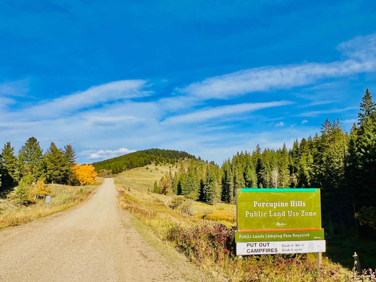
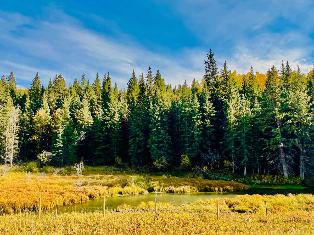
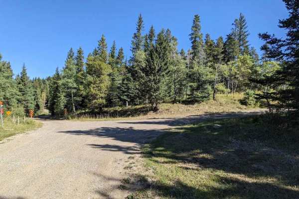
This scenic gravel route connects the forested Porcupine Hills with the rolling hills and valley below, continuing south toward the highway. The route begins in a higher-elevation forest area surrounded by pine and aspen trees, with several short, easy switchbacks. The road becomes smoother and more open as it descends toward the valley floor. Numerous cattle guards are located along the lower portion of the route. Expect open-range conditions, particularly after descending into the valley. Cattle are commonly encountered on or near the road. Once in the valley, travelers can expect open-range conditions, ranch properties, and broad views of the mountain ranges to the west, north, and south on clear days. A notable feature is the single-lane steel bridge crossing over the Oldman River. Use caution when approaching and crossing the bridge, and yield appropriately to oncoming traffic. At the southern end, the route connects with a network of farm roads that provide several ways to continue toward paved roads and the highway. The road is generally smooth and easy to travel, although it becomes somewhat narrower in the forested upper section. Download offline maps before traveling because cell service is limited and intermittent.
Difficulty
This route is suitable for standard passenger vehicles, SUVs, and pickup trucks in normal dry conditions. Four-wheel drive and high clearance are not typically required. Drivers towing larger trailers should use caution on the narrower forest section, switchbacks, cattle guards, and single-lane bridge.




 Offroad