Trail Overview
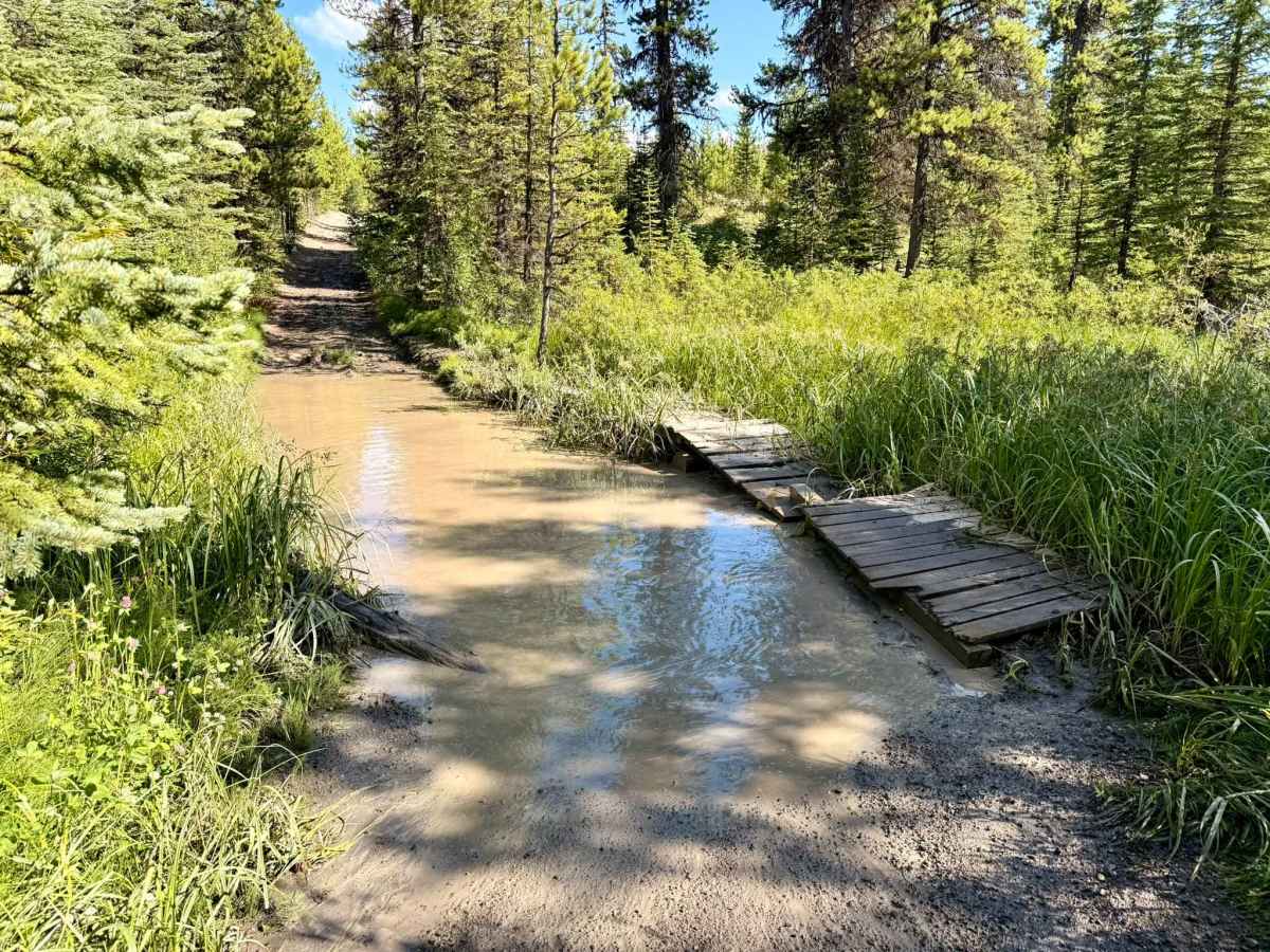
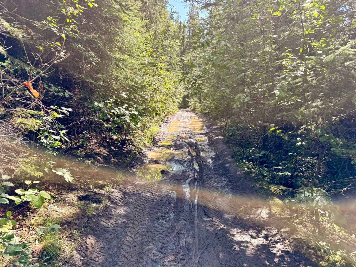
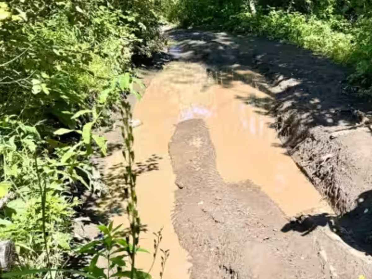
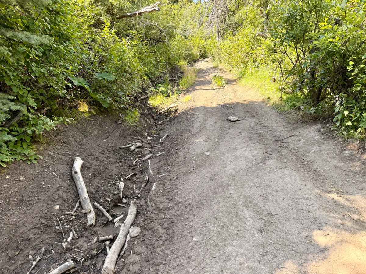
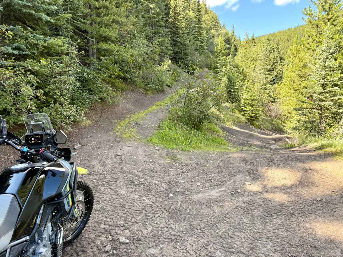
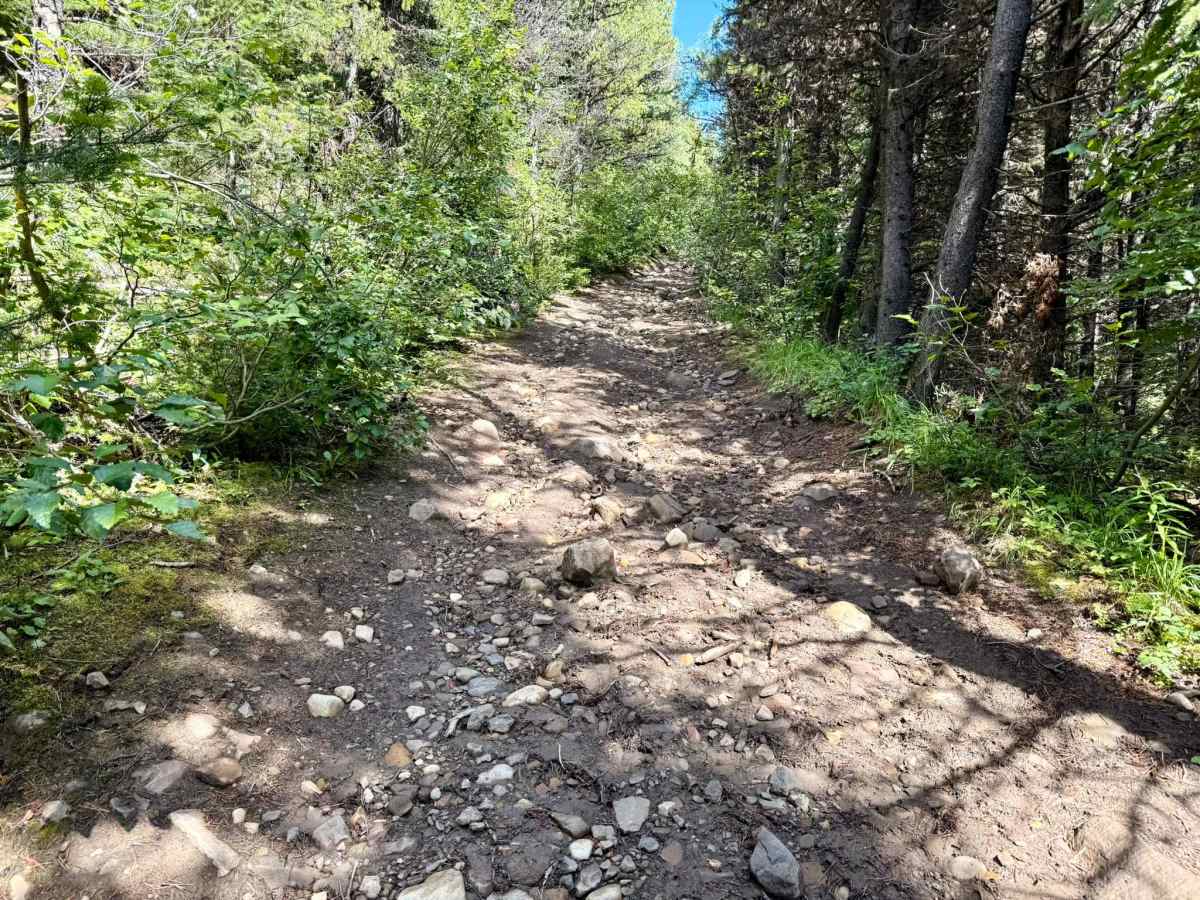
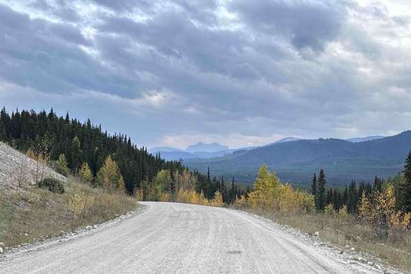
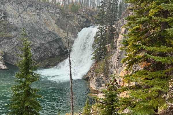
Mount Hamell is a challenging and rewarding backcountry trail near Grande Cache, following primarily two-track from the trailhead all the way to the summit. The first half of the trail travels through wetter terrain and can be extremely muddy, with numerous deep water and mud holes along the route. Many of the larger holes have bypasses around the edges, although some can be narrow and may not be suitable for wider machines. Conditions can vary considerably depending on recent rainfall, so expect mud and standing water even when the rest of the area is relatively dry. As the trail begins climbing the mountain, the terrain changes significantly. The second half is dominated by a long, steep, and rocky climb with plenty of loose and larger embedded rock. Traction can be limited, making line choice and momentum important, particularly for motorcycles and heavier machines. Once you break through the treeline, the character of the ride completely changes. The climb opens up to incredible views of the surrounding mountains and valleys, with the trail eventually reaching the fire lookout near the summit. Beside the lookout is a summit register where visitors can sign their name and mark the trip. Please be mindful of the on-duty fire lookout's privacy. For those wanting to explore a little farther, the trail continues beyond the fire lookout along the mountain ridge to another scenic overlook. The exposed ridge and panoramic views make the final section well worth the extra distance. Overall, Mount Hamell is a fantastic ride for experienced off-road riders looking for a mix of mud, water crossings, technical rocky climbing, and some of the best mountain views in the Grande Cache area.
Difficulty
If you lose momentum on the steep, loose-rock hill climbs, the difficulty can quickly jump to a 7/10—especially on a heavier machine. Airing down is recommended for improved traction.
History
The Mt. Hamell Trail follows an old forestry and fire lookout access road that climbs from the Grande Cache area to the summit of Mt. Hamell. The route was originally used to access the fire lookout and surrounding backcountry before becoming a popular recreational trail for off-road vehicles, hikers, bikers, and trail runners. Mt. Hamell is also well known as a major section of the Canadian Death Race, with the climb forming part of the challenging “Hamell Assault” leg.