
Dirt Bike Trails
Near Wilbur, Washington
Explore All Dirt Bike Trails Near Wilbur, Washington
Dirt Bike Trails Near Wilbur, Washington
Discover the best dirt bike trails near you. Browse trail maps, check difficulty ratings, and find your next adventure — whether you're looking for a quick ride or an all-day expedition.
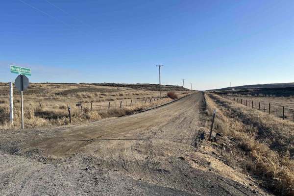
Barker Canyon Road
Barker Canyon Road is a 6-mile point-to-point route beginning at its junction with Washington Route 174 and descending through Barker Canyon to Banks Lake. The first 5.5 miles of the road traverse private property. Please remain on the designated route and respect all posted signage. The trail ends ...
Learn more about Barker Canyon Road
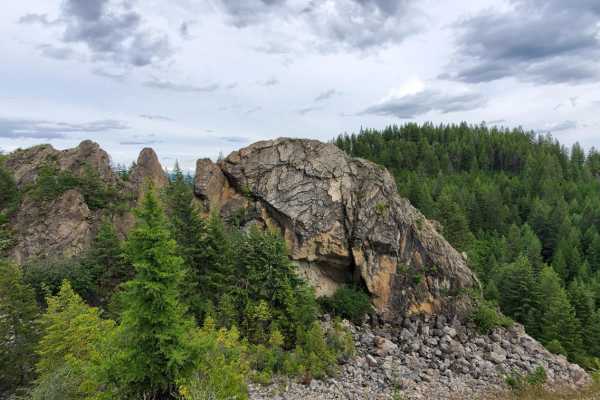
Turtle Rock
This trail utilizes Klines Meadow Road, which is quite an easy ride, but branches off in multiple areas which increase the difficulty. Watch for sections of steep hills and possible rockslides. Take the opportunity to stop along multiple viewpoints throughout the ride, including the old quarry and T...
Learn more about Turtle Rock
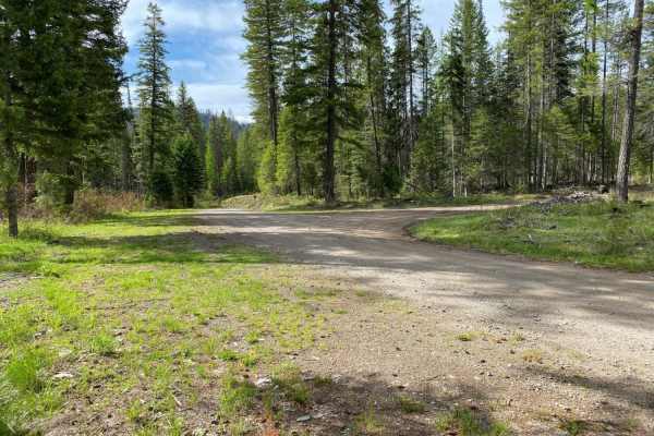
Rattlesnake
Paved road from staging to Rattlesnake Rd turnoff, then gravel and two-track road around the route, until the final paved segment of Scatter Creek Rd back to the staging area. Some portions of the route are rough road, rocky in spots, but easily negotiated. Easy route to drive for OHV's.
Learn more about Rattlesnake
Sheep Mountain
Gravel road for the most part, with occasional dirt/muddy areas, depending on weather. Easy ride, gentle pitches.
Learn more about Sheep Mountain
Swan Lake 1
Swan Lake 1 is an easy, 11-mile offroad loop through the Colville National Forest in Ferry County, Washington. Featuring gentle elevation changes between 3,286 and 3,944 feet, this scenic route winds through dense evergreen forests near Swan Lake, making it ideal for beginners and families.
The ent...
Learn more about Swan Lake 1
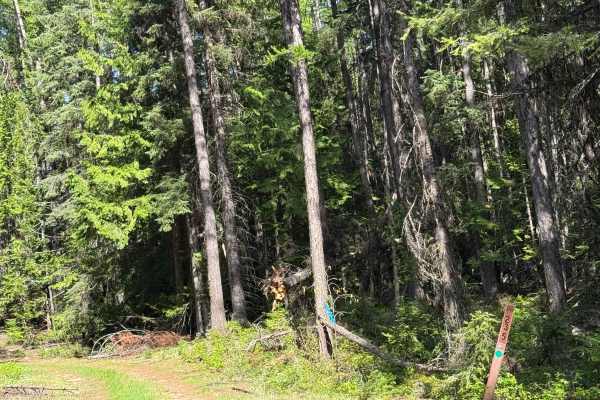
Dollar Mountain Summit - FS 2014-235
This is a dirt-based forest road that is narrow and two-track. There are ruts and wash under a foot deep, a rock garden section, and a couple of muddy sections. As you travel the trail, you will come to a swampy pond area, and this is where the trail gets a little muddy. Once past that, the trail is...
Learn more about Dollar Mountain Summit - FS 2014-235
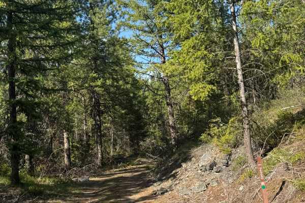
FS 2014-220
This is a dirt-based, narrow forest road. Most of the trail is one vehicle wide, two-track with areas to pass. The trail travels through an old burnt area, so expect some trees down on the trail. There are ledges with small drop-offs and overgrown vegetation, but you will have views of the surroundi...
Learn more about FS 2014-220
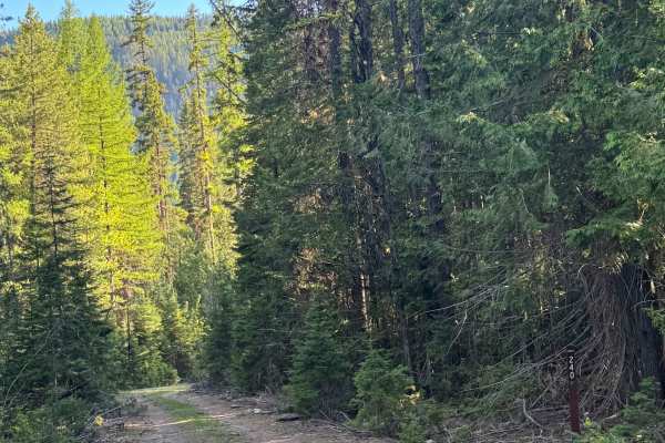
South Fork Barnaby - FS 2014-420
This is a short, dirt-based forest road that used to go much further. The trail is overgrown with vegetation and has some rock garden sections. At the end of the trail, it has been made into a loop with a large campsite, and the original trail continues, but is extremely overgrown and only accessibl...
Learn more about South Fork Barnaby - FS 2014-420
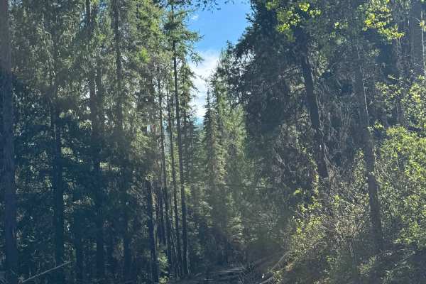
Dollar Mountain - FS 2014-200
This is a dirt-based forest road that runs to the border of the Colville National Forest and Colville Reservation. The trail is narrow and one lane wide with lots of two-track sections and minor ruts/wash. In places, the vegetation is overgrown, and in other places, you will encounter ledges with dr...
Learn more about Dollar Mountain - FS 2014-200
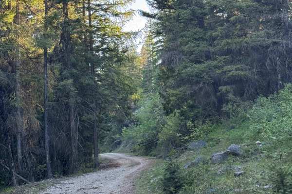
White Mountain Trail
This forest road is dirt-based with some rock and gravel in sections. If you travel the entire trail, it is more than 10 miles long and leads you to the edge/border of the Colville National Forest and the Colville Reservation. Do not enter the reservation land without permission. This trail is narro...
Learn more about White Mountain Trail
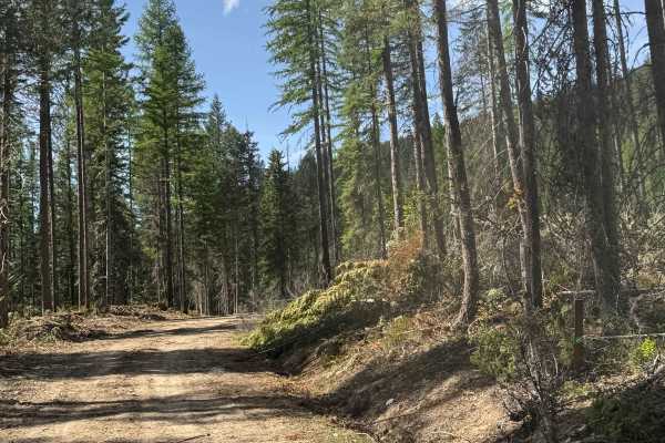
FS 2014-150
This is a dirt-based forest road with minor ruts and wash. Most of the trail is narrow, one vehicle wide, two-track with places to pass. The trail gradually climbs approximately 800 feet in elevation and has switchbacks and ledges with drop-offs. You will get views of the surrounding ridges and peak...
Learn more about FS 2014-150
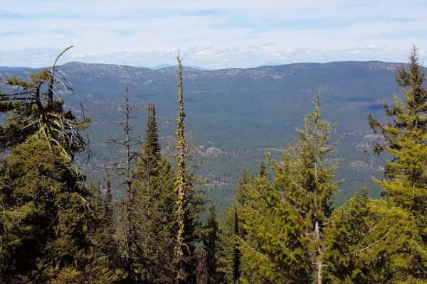
South Huckleberry2 Trail
South Huckleberry2 Trail offers an exciting, moderately challenging forest adventure for ATV riders, dirt bikers, and narrow SxS drivers looking to climb deep into the scenic woodlands of northeastern Washington. Spanning approximately 6.1 miles, this point-to-point trail serves as a continuation of...
Learn more about South Huckleberry2 Trail
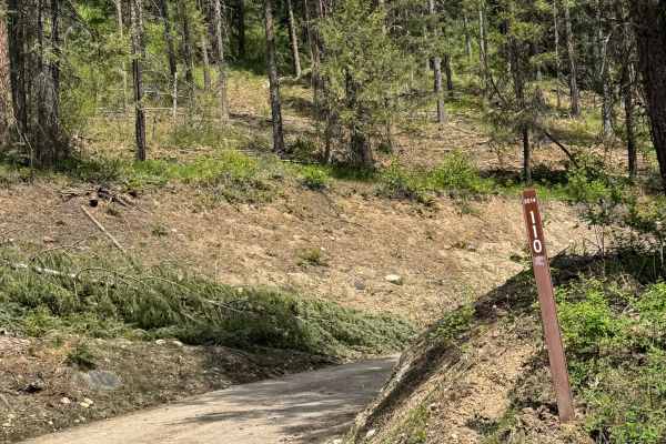
FS 2014-110
This is a dirt-based forest road that leads to the Huckleberry Jeep Trailhead. The trail starts off wide with an incline, then becomes very narrow and steep. You will be climbing on the edge of a clear-cut section of trees and driving over tree debris. The trail shrinks down and becomes more of a Po...
Learn more about FS 2014-110

Sand Dunes Site
This is a gravel road to the sand dunes site with some washboard, lots of dust, and dunes with overgrown vegetation. It's a very easy gravel road, with minor elevation, this portion can be done in any season, day or night. No pass is required. Vehicles are not allowed to go off-path, and certain are...
Learn more about Sand Dunes Site
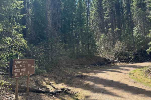
Barnaby Buttes Trail
This is a gravel forest road in Colville National Forest. The trail is gravel-based and hard-packed, making it relatively smooth and suitable for all vehicle types. There is minor washboard in some areas, but other than that, it winds and steadily climbs over 1,000 feet in elevation. This trail ends...
Learn more about Barnaby Buttes Trail
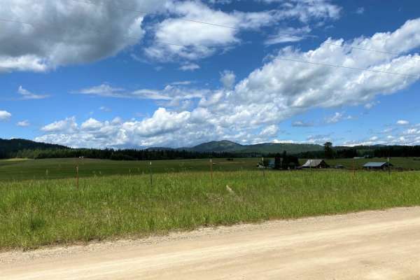
Chewelah-Clayton
The Chewelah-Clayton route is an easy, family-oriented excursion on well-maintained county roads that is ideal for drivers of all skill levels seeking a scenic tour through northeastern Washington's beautiful countryside. Spanning approximately 47 miles of two-way paved and graveled road systems, th...
Learn more about Chewelah-Clayton
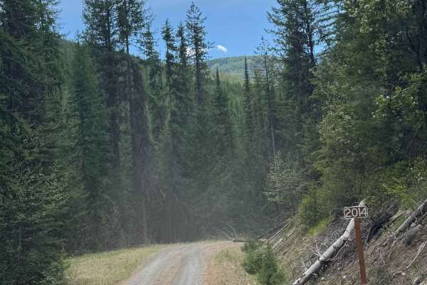
Barnaby Creek - FS 2014-000
This is a gravel-based forest road. The trail climbs approximately 1,250 feet in elevation over more than 7 miles. Most of the trail is narrow, one lane wide, two-track with places to pass. There are switchbacks and ledges with drop-offs as you travel alongside Barnaby Creek. You will have views of ...
Learn more about Barnaby Creek - FS 2014-000
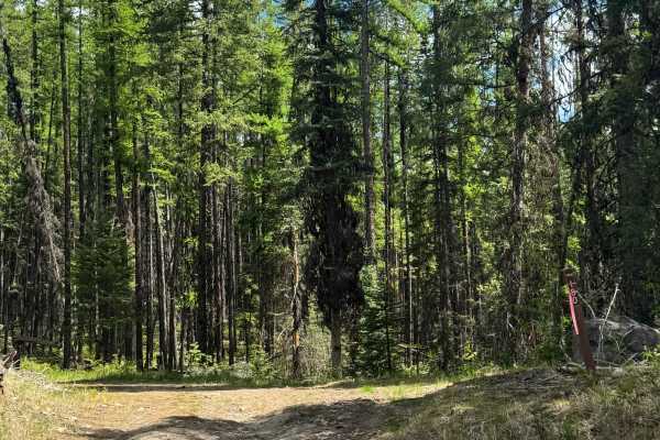
FS 2020-180
This is a dirt-based forest road in Colville National Forest. The trail is mostly two-track and is very narrow and one lane wide. There are some places to pass as the trail gradually climbs near 700 feet in elevation gain. This trail has minor ruts and wash, some areas with loose rock, and areas of ...
Learn more about FS 2020-180
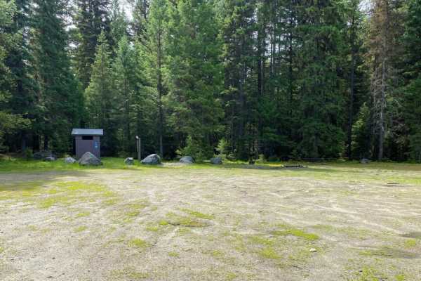
Quartz Mountain
The roads in the Quartz Mountain area are mainly gravel roads, with side roads being less travelled, two track roads that may be rutted, rocky and muddy in spots. Road to the old lookout site is in good shape. Easy ride.
Learn more about Quartz Mountain
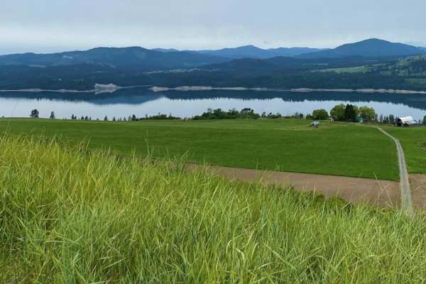
Daisy
Family oriented route, paved and gravel county roads. Road travels over two passes, through small farm country. Expect dusty conditions, except following storms. Some areas can be muddy then. Be alert for two-way traffic, along with cattle in the road in open range areas on the west side of the rout...
Learn more about Daisy
ATV trails near Wilbur, Washington
Explore ATV-friendly trails near you. These trails are accessible for vehicles up to 50 inches wide, perfect for ATVs and smaller off-road machines.
Barker Canyon Road
Barker Canyon Road is a 6-mile point-to-point route beginning at its junction with Washington Route 174 and descending through Barker Canyon to Banks Lake. The first 5.5 miles of the road traverse private property. Please remain on the designated route and respect all posted signage. The trail ends ...
Learn more about Barker Canyon Road
Turtle Rock
This trail utilizes Klines Meadow Road, which is quite an easy ride, but branches off in multiple areas which increase the difficulty. Watch for sections of steep hills and possible rockslides. Take the opportunity to stop along multiple viewpoints throughout the ride, including the old quarry and T...
Learn more about Turtle Rock
Rattlesnake
Paved road from staging to Rattlesnake Rd turnoff, then gravel and two-track road around the route, until the final paved segment of Scatter Creek Rd back to the staging area. Some portions of the route are rough road, rocky in spots, but easily negotiated. Easy route to drive for OHV's.
Learn more about Rattlesnake
Sheep Mountain
Gravel road for the most part, with occasional dirt/muddy areas, depending on weather. Easy ride, gentle pitches.
Learn more about Sheep Mountain
UTV/side-by-side trails near Wilbur, Washington
Find UTV and side-by-side trails near you. These trails accommodate vehicles up to 60 inches wide, ideal for UTVs, side-by-sides, and wider off-road rigs.
Barker Canyon Road
Barker Canyon Road is a 6-mile point-to-point route beginning at its junction with Washington Route 174 and descending through Barker Canyon to Banks Lake. The first 5.5 miles of the road traverse private property. Please remain on the designated route and respect all posted signage. The trail ends ...
Learn more about Barker Canyon Road
Rattlesnake
Paved road from staging to Rattlesnake Rd turnoff, then gravel and two-track road around the route, until the final paved segment of Scatter Creek Rd back to the staging area. Some portions of the route are rough road, rocky in spots, but easily negotiated. Easy route to drive for OHV's.
Learn more about Rattlesnake
Sheep Mountain
Gravel road for the most part, with occasional dirt/muddy areas, depending on weather. Easy ride, gentle pitches.
Learn more about Sheep Mountain
Swan Lake 1
Swan Lake 1 is an easy, 11-mile offroad loop through the Colville National Forest in Ferry County, Washington. Featuring gentle elevation changes between 3,286 and 3,944 feet, this scenic route winds through dense evergreen forests near Swan Lake, making it ideal for beginners and families.
The ent...
Learn more about Swan Lake 1
The onX Offroad Difference
onX Offroad combines trail photos, descriptions, difficulty ratings, width restrictions, seasonality, and more in a user-friendly interface. Available on all devices, with offline access and full compatibility with CarPlay and Android Auto. Discover what you're missing today!
Open Trail Map