Dirt Bike Trails
Near Westfield, Maine
Explore All Dirt Bike Trails Near Westfield, Maine
Dirt Bike Trails Near Westfield, Maine
Discover the best dirt bike trails near you. Browse trail maps, check difficulty ratings, and find your next adventure — whether you're looking for a quick ride or an all-day expedition.
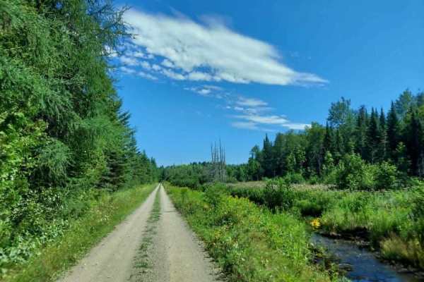
Southern Bangor & Aroostook Upper Trail
This northern section of the Bangor and Aroostook Trail follows an old railroad corridor featuring multiple bridges and scenic pull-off points. As a primary travel artery for the region, this route experiences heavy OHV traffic; please remain vigilant for oncoming machines and wildlife, especially d...
Learn more about Southern Bangor & Aroostook Upper Trail
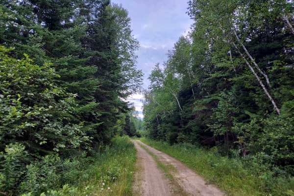
Lean-To Ridge Trail
The Lean-To Ridge Trail traverses the base of Scopan Mountain’s north face, offering an excellent opportunity for an overnight excursion with an accessible lean-to and a notable bridge crossing over a mountain runoff stream. The route features stunning foliage views during the autumn months. The tra...
Learn more about Lean-To Ridge Trail
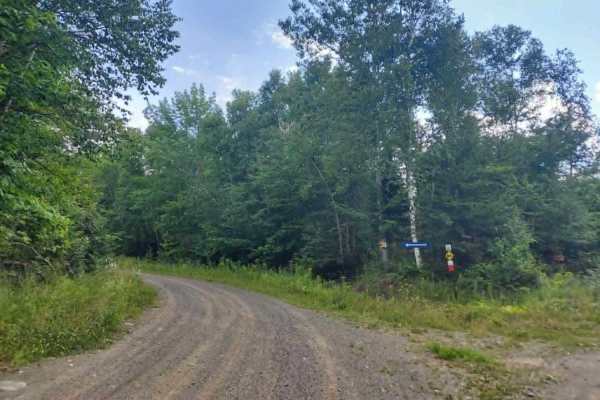
Presque Isle Stream Traverse
If approaching from Up North Rd, be prepared for a width-restriction gate at the eastern end of the trail. This is meant to keep out full-size vehicles, not ATVs, dirt bikes, or SXS users. Otherwise, this route offers stunning scenic views across varying terrain, including a bog where the stream pas...
Learn more about Presque Isle Stream Traverse
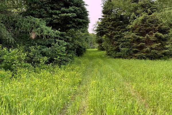
Michaud Woods
Very short, easy woods trail that allows you to bypass Masardis Main Street. This trail is part of the Masardis trail system. It does run through private land. Please respect the property owner and drive safely. Moose are frequently sighted on this trail. Hunting is not allowed. Always watch for tra...
Learn more about Michaud Woods
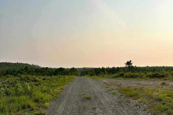
Masardis Main ATV
This is a very well-maintained trail. The trail is a mix of ATV-only and mixed-use logging trails. An ATV Maine membership is required. It can be with any club affiliated with ATV Maine. Email the Masardis ATV club to request a membership application or to report trail damage. The club strives to ke...
Learn more about Masardis Main ATV

Millville Plane Crash
Heading west from Millville on the 104, you enter this trail through Becaguimac South Branch Road. It quickly turns into a track through Crowne woodlands. It is well maintained and very easy to traverse. This will eventually lead you to a plane crash from June 12, 1958. A plaque with information as ...
Learn more about Millville Plane Crash
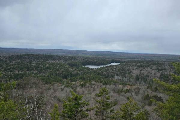
Ayers Lake Lookout
Drive up Route 104 near Millville, enter a logging road, and go straight at the intersection in the road. The road starts to get a little rough, then gets to a climb that is simple in a 4x4, to the lookout parking area. Once there must walk down a path to access the lookout
Learn more about Ayers Lake Lookout
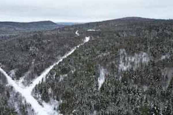
Rocky Island Row
To the east of Millville, take the Mill road north. After 10 km or so, take a left onto this tight but scenic track, following a stream bed past Rocky Island. The trail is a fairly simple dirt track that will bring you out North of Balancing Rock. Cell service is limited after you pass Crabbe Mounta...
Learn more about Rocky Island Row
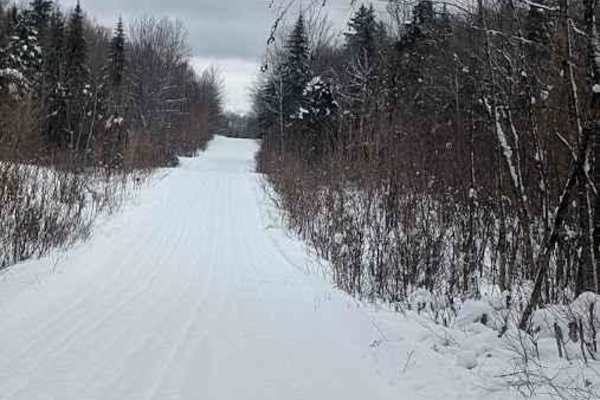
Little Owl Lake Trail
During the winter, this is a snowmobile track, but after April 14, it's a well-groomed backwoods trail, connecting two landmarks, Balancing Rock, and the Plane Crash. The track rolls up and down between the hills, and eventually connects to a main logging road in the East. There is limited cell serv...
Learn more about Little Owl Lake Trail
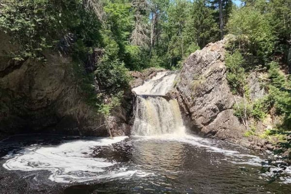
Gibson Falls Run
Entering from Hickey Road in West Waterville, you will find yourself on a snowmobile trail that's mostly rocky bottom. Passing many beaver ponds, the trail is fairly well maintained save for a dam right on the trail. The water is usually about 18 inches deep but with a rock bottom. When you get to t...
Learn more about Gibson Falls Run
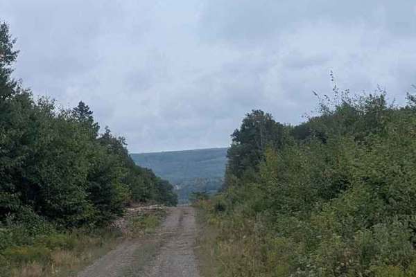
Narrows Mountain Trail
This trail ascends Narrows Mountain, climbing 200 meters and showcasing a great angle through to the surrounding hills. Just over 9 kilometers from the beginning of Mill Road, this is a simple ascent through a wide, grass-laden gravel road. It's fairly easy to turn around at the top, and the trail i...
Learn more about Narrows Mountain Trail
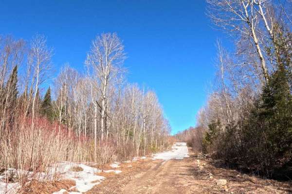
Balancing Rock Winter Trail
During the winter months from December to April this is a snowmobile trail, but the rest of the year it is a great way to head West towards the Balancing Rock attraction and the Plane Crash site. Taking the Mill road North, just east of Milleville, NB will get you to the beginning of this track. It ...
Learn more about Balancing Rock Winter Trail
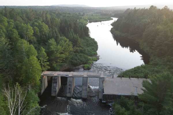
The Irving Dam
Deep in the Crowne lands north of Milleville, taking the Mill road north towards Napadogan, this trail ends at an abandoned dam. It features many off-camber washouts, drops, and water crossings that are 24 inches or more deep, depending on what the beavers are up to.
Learn more about The Irving Dam
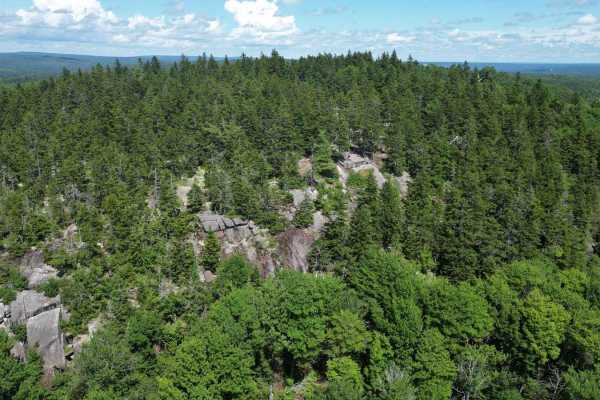
Green Hill Lookout
Visit the lookout above Green Hill Lake on this scenic ascent. Starting on Wiggins Mills Road you come up the backside of the mountain. This mountain trail has some steep inclines, narrow turns, and boulders jutting out of the trail along with narrowly cut deadfall. The cliff edge at the top is wort...
Learn more about Green Hill Lookout
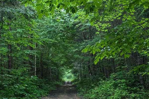
Coac Shortcut
This shortcut promises sooner relief from the climb back up from Coac Falls. Although there are a few bridges keep in mind that they are prone to having the trail washed out on either side of them and that they are designed to be level with compacted layers of snow on either end so there can be a 2....
Learn more about Coac Shortcut
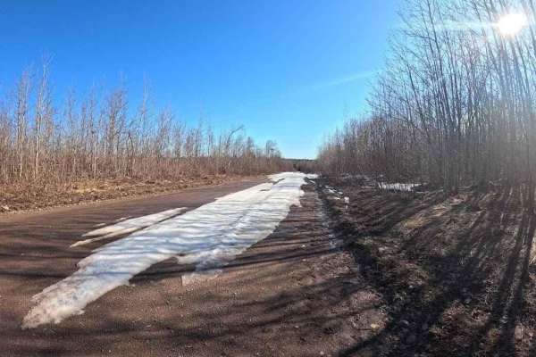
North Tay Winter Trail
From December to mid-April, this is a snowmobile trail, but it's maintained throughout the year regardless. It skirts a lot of logging areas, and is relatively easy to get through in almost any all wheel drive vehicle. You can enter the trail from Military Road in the Crow Hill area, leading you to ...
Learn more about North Tay Winter Trail
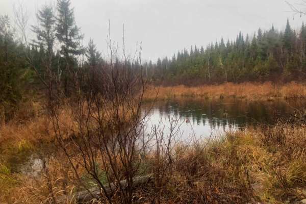
Old Zealand Road
This old logging road connects Zealand, New Brunswick with Greenhill Lake, New Brunswick, and can be traversed by any 4x4 truck or Jeep. The trail leads through the stunning forests of New Brunswick and features a winding dirt road with several hard-bottom water holes ranging from 5 to 10 inches in ...
Learn more about Old Zealand Road
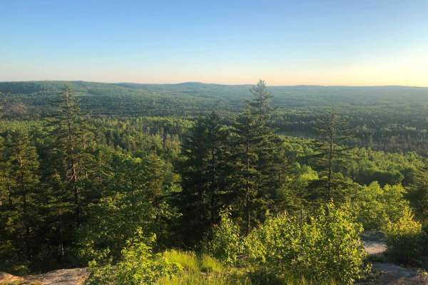
Greenhill Lookout - Hard Line
This is a very difficult trail up the backside of Greenhill Lake Mountain. This is the "Hard line" to take to the Greenhill Lake scenic overlook. It is primarily used as an ATV/OHV trail, however, it is open to all vehicles if you have the right skills and rig to do it. Although the trail is only ha...
Learn more about Greenhill Lookout - Hard Line
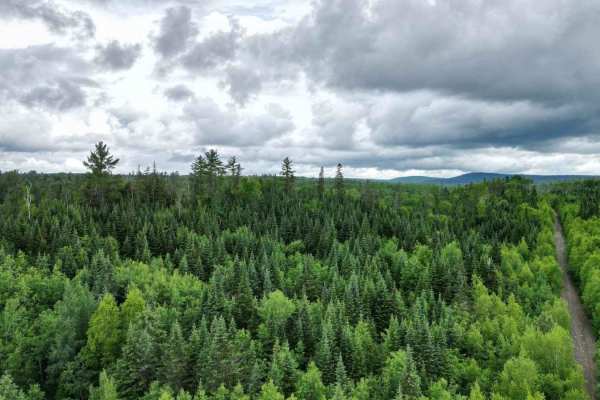
Upper Stone Ridge Winter Run
After Upper Stone Ridge Road dissolves into a dead end, this dirt road looks more like an ATV trail when you start. It leads into the managed snowmobile trail heading north in winter. Once you get through the first sandy hurtle, you can enjoy a solid and dry trail through deep woods. The Keswick Riv...
Learn more about Upper Stone Ridge Winter Run
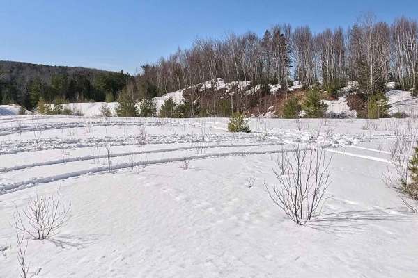
Upper Stone Ridge Backend Pit
This pit is an access trail that continues past the Upper Stone Ridge Easy Sand Pit. After heading up the hill after a bend in the trail, there is an intersection of trails. Sticking to the left, you will enter an overgrown track going through an old logging area. The alders are quite young and have...
Learn more about Upper Stone Ridge Backend Pit
ATV trails near Westfield, Maine
Explore ATV-friendly trails near you. These trails are accessible for vehicles up to 50 inches wide, perfect for ATVs and smaller off-road machines.
Southern Bangor & Aroostook Upper Trail
This northern section of the Bangor and Aroostook Trail follows an old railroad corridor featuring multiple bridges and scenic pull-off points. As a primary travel artery for the region, this route experiences heavy OHV traffic; please remain vigilant for oncoming machines and wildlife, especially d...
Learn more about Southern Bangor & Aroostook Upper Trail
Lean-To Ridge Trail
The Lean-To Ridge Trail traverses the base of Scopan Mountain’s north face, offering an excellent opportunity for an overnight excursion with an accessible lean-to and a notable bridge crossing over a mountain runoff stream. The route features stunning foliage views during the autumn months. The tra...
Learn more about Lean-To Ridge Trail
Presque Isle Stream Traverse
If approaching from Up North Rd, be prepared for a width-restriction gate at the eastern end of the trail. This is meant to keep out full-size vehicles, not ATVs, dirt bikes, or SXS users. Otherwise, this route offers stunning scenic views across varying terrain, including a bog where the stream pas...
Learn more about Presque Isle Stream Traverse
Michaud Woods
Very short, easy woods trail that allows you to bypass Masardis Main Street. This trail is part of the Masardis trail system. It does run through private land. Please respect the property owner and drive safely. Moose are frequently sighted on this trail. Hunting is not allowed. Always watch for tra...
Learn more about Michaud Woods
UTV/side-by-side trails near Westfield, Maine
Find UTV and side-by-side trails near you. These trails accommodate vehicles up to 60 inches wide, ideal for UTVs, side-by-sides, and wider off-road rigs.
Southern Bangor & Aroostook Upper Trail
This northern section of the Bangor and Aroostook Trail follows an old railroad corridor featuring multiple bridges and scenic pull-off points. As a primary travel artery for the region, this route experiences heavy OHV traffic; please remain vigilant for oncoming machines and wildlife, especially d...
Learn more about Southern Bangor & Aroostook Upper Trail
Lean-To Ridge Trail
The Lean-To Ridge Trail traverses the base of Scopan Mountain’s north face, offering an excellent opportunity for an overnight excursion with an accessible lean-to and a notable bridge crossing over a mountain runoff stream. The route features stunning foliage views during the autumn months. The tra...
Learn more about Lean-To Ridge Trail
Presque Isle Stream Traverse
If approaching from Up North Rd, be prepared for a width-restriction gate at the eastern end of the trail. This is meant to keep out full-size vehicles, not ATVs, dirt bikes, or SXS users. Otherwise, this route offers stunning scenic views across varying terrain, including a bog where the stream pas...
Learn more about Presque Isle Stream Traverse
Michaud Woods
Very short, easy woods trail that allows you to bypass Masardis Main Street. This trail is part of the Masardis trail system. It does run through private land. Please respect the property owner and drive safely. Moose are frequently sighted on this trail. Hunting is not allowed. Always watch for tra...
Learn more about Michaud Woods
The onX Offroad Difference
onX Offroad combines trail photos, descriptions, difficulty ratings, width restrictions, seasonality, and more in a user-friendly interface. Available on all devices, with offline access and full compatibility with CarPlay and Android Auto. Discover what you're missing today!
Open Trail Map