
Dirt Bike Trails
Near Washtucna, Washington
Explore All Dirt Bike Trails Near Washtucna, Washington
Dirt Bike Trails Near Washtucna, Washington
Discover the best dirt bike trails near you. Browse trail maps, check difficulty ratings, and find your next adventure — whether you're looking for a quick ride or an all-day expedition.
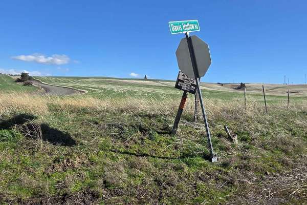
Davis Hollow Road
Davis Hollow Road is a narrow dirt road that is closed seasonally and is easily accessible by most vehicles during dry conditions. This road follows a small creek drainage for about 4 miles between Eckler Mountain Road and North Touchet Road. There are a few spots wide enough to pass oncoming vehic...
Learn more about Davis Hollow Road
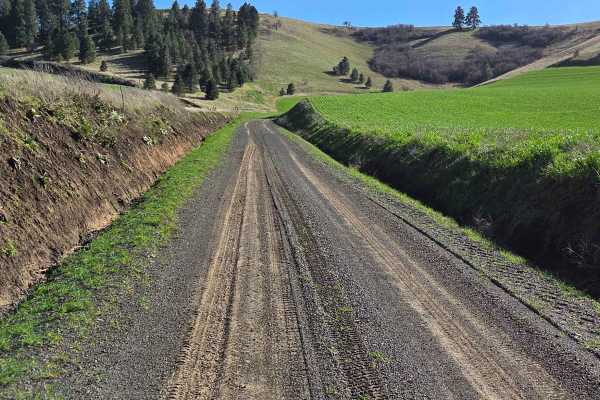
Range Grade Road
This single-lane dirt road is a nice little connector between Patit Road to the north and Eckler Mountain Rd to the south. It is closed seasonally, and there are signs at each end to notify of its status, but it can be traveled by most vehicles mid-year when conditions are dry. When wet, however, th...
Learn more about Range Grade Road
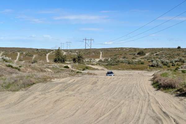
North Spur Road
This road is a mix of hard pack and sandy washes. This road is one of the spurs that lead into the north part of the Juniper Dunes Open OHV Riding area. The road is one lane and has multiple steep blind inclines and declines, as well as multiple offshoots. The further you follow the road, the more s...
Learn more about North Spur Road
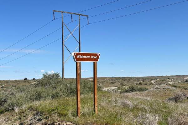
Wilderness Road
This is a one-lane route that takes you to the gate for the Juniper Dunes Wilderness Area. It is a tight, twisty, curvy, and sandy route that is a lot of fun if you have a machine that is designed to run in the desert. The trail has tight off-camber blind corners with some steep inclines and decline...
Learn more about Wilderness Road
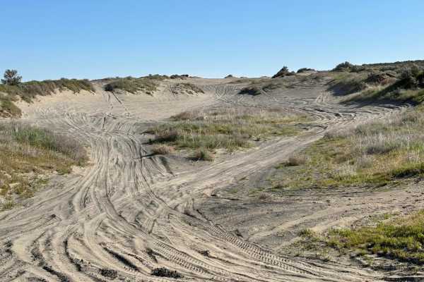
Juniper Dunes Road
This is a hard-packed, very worn-out road that is the main in and out of the Juniper Dunes OHV area. The road itself is mostly compacted desert hardpan with sandy washes mixed in. There are long stretches of whoops that will take quads, standard 4x4s, and utility-style SXSs much longer to go through...
Learn more about Juniper Dunes Road
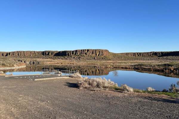
Seep Lake
This route into Seep Lakes area takes you to many possible campsites at the different lakes. A Discover Pass or vehicle pass is required in the area. The road is nicely groomed and easily driven with a 2WD vehicle to the campsites and lakes. There appear to be plenty of spur roads on the map; howev...
Learn more about Seep Lake
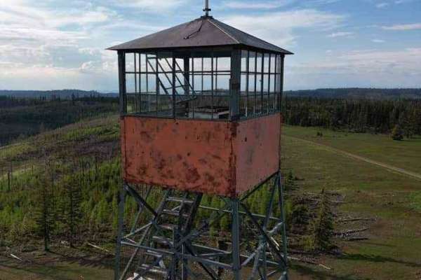
Pomeroy Grouse (National Forest Development RD 040) #1
Pomeroy Grouse Trail is a well-maintained forest service road. It is approximately two cars wide and is relatively free of obstacles. If you have time along this trail, make sure to check out the varying natural springs not far off the trail. A few names include Schneckloth Spring, stents spring, an...
Learn more about Pomeroy Grouse (National Forest Development RD 040) #1
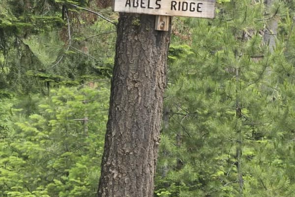
Ables Ridge
The trail is a hard-packed gravel and dirt road, wide enough for 1.5 vehicles with spots to pull over. We didn't see any other vehicles on this trail. The elevation at the top is 5,000 feet, and the views of the Blue Mountains, rolling hills, bunch grass, pine, and fir trees are wonderful. Sunsets a...
Learn more about Ables Ridge
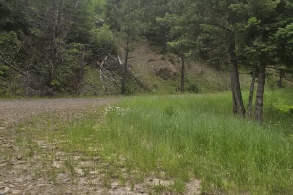
Stevens Ridge
The trail consists of hard-packed dirt and gravel with no obstacles. It winds up Stevens Ridge through a forest of firs, pine trees, and wildflowers covering the hillside in early summer. You can spot wildlife in the area, such as deer, elk, and yellow-bellied marmots. It offers great views of the c...
Learn more about Stevens Ridge
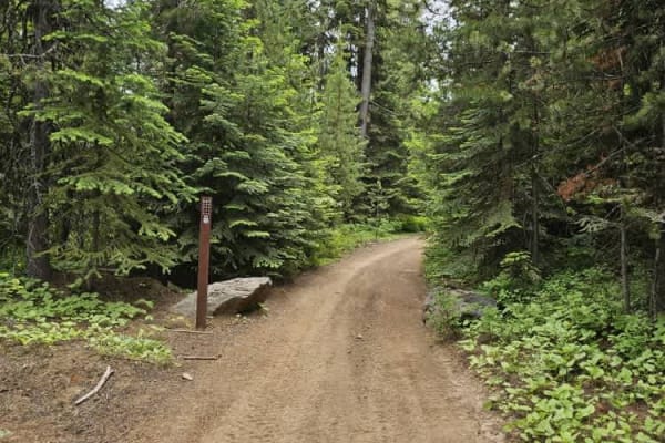
North to South Trail
This easy-going trail winds through the thick forest, there are no obstacles on this trail. Many offshoot trails can be accessed without having to backtrack. There were no riders on the trail, but it was very dusty. A bandana to keep down dust is recommended.
Learn more about North to South Trail
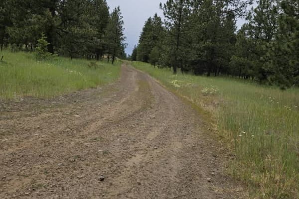
Pataha Cable Road
The trail takes you into a high alpine terrain, where you can look out over the valleys and meadows of the Umatilla National Forest. Wildlife is abundant, and there's a good chance of seeing deer or elk while driving on this trail. Wildflowers were blooming in early summer, and the sounds and smells...
Learn more about Pataha Cable Road
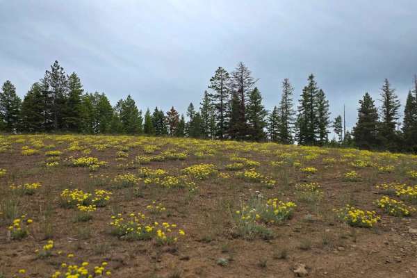
Brush Ridge
The trail is a hard-packed dirt road in the Umatilla National Forest. It offers stunning views of the Blue Mountains, wildflowers in spring, and opportunities to spot wildlife. Remember to bring a chair to relax and enjoy the sunset on the ridge. The trail is lightly traveled, and I did not see anot...
Learn more about Brush Ridge
Jubilee
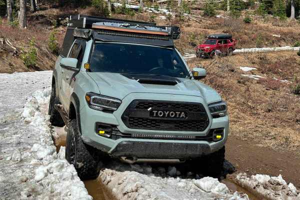
This is an 8.2-mile beginning chunk of the Jubilee Trail. The very beginning starts off pretty easy with a wide, primarily dirt road, however, turns to a more challenging narrow rutted section before starting to even out again. My 4 runner and my buddy's Tacoma did not have any issues width-wise, bu...
Learn more about Jubilee
Beer Bowl
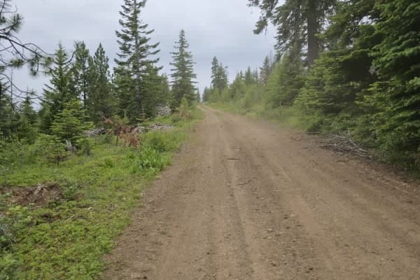
The trail winds through the Umatilla National Forest and includes a water feature known as Beer Bowl. If the water level is low enough, you can drive up to the top of the hill. There are wooden benches and a flat area where you can set up chairs to enjoy the view.
Learn more about Beer Bowl
Pomeroy Grouse Flat #40 (#2)
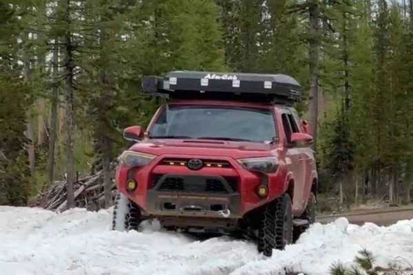
This is the second nearly 8-mile section of Pomeroy Grouse Flats. As continued, this trail is a well-groomed forest road that is approximately two cars wide. There are multiple gated offshoots to this trail, however at the time of adventure (memorial weekend '23), most of these gates were currently ...
Learn more about Pomeroy Grouse Flat #40 (#2)
Iron Springs
Easy drive along the gravel road that winds through the Umatilla National Forest. The terrain consists of hard-packed soil with thick pine and fir trees, basalt rock, and red powdery clay soil. Watch for wildlife such as deer, elk, coyotes, and grouse. Take some time to explore and view the wildflow...
Learn more about Iron Springs
Tiger Creek
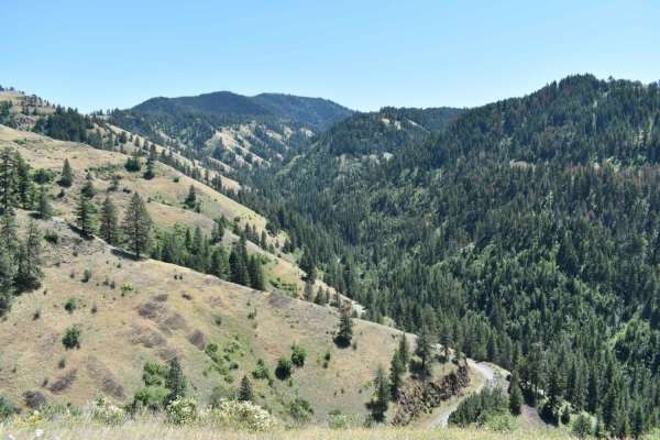
Tiger Creek Trail starts south of the small town of Kooskooskie, WA and winds back and forth on dirt and gravel roads through Umatilla National Forest as you climb approx. 3,300ft to an intersection with Jubilee / Kendall-Skyline trail, where Tiger Creek Trail ends. There are excellent forest views ...
Learn more about Tiger Creek
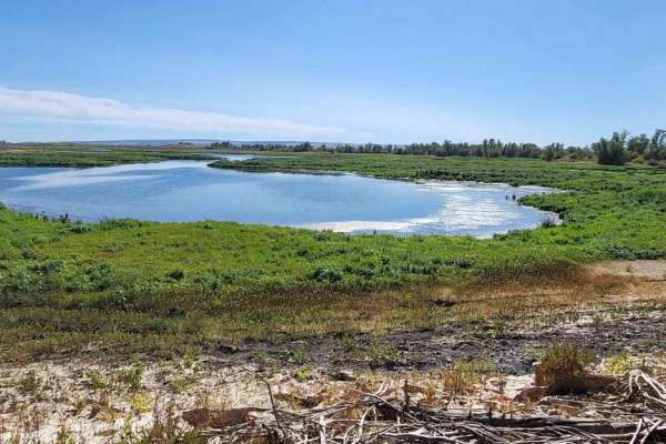
Bird Reserve
This gravel road runs through a bird reserve. It is only accessible between August and October. The trail is gated, the road turns into a dirt road, and there are some narrower areas, but there is nothing to be concerned about. It would be best if you were careful of upcoming traffic as you might ha...
Learn more about Bird Reserve
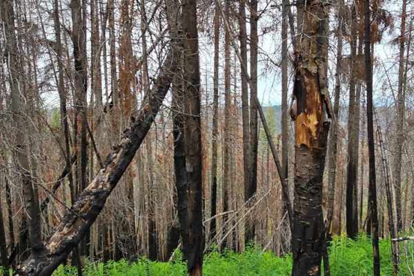
Hard To Get To Ridge
The dirt road is wide with many spots to pull off and enjoy the panoramic views of the Blue Mountains in southeastern Washington. Wildflowers are in full bloom, and fir and pine trees are thick as you begin the trail. The forest gradually thins to an alpine ridge with remnants of an old forest fire ...
Learn more about Hard To Get To Ridge
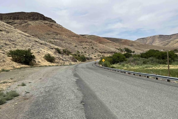
Steptoe Canyon Road
Steptoe Canyon Road is a point-to-point gravel road that climbs from the banks of the Snake River up to the Palouse plateau. The road is lined with private property on both sides, so please be respectful when on this trail. There are lots of blind corners as well, so be sure to stay to the right. Th...
Learn more about Steptoe Canyon Road
ATV trails near Washtucna, Washington
Explore ATV-friendly trails near you. These trails are accessible for vehicles up to 50 inches wide, perfect for ATVs and smaller off-road machines.
Davis Hollow Road
Davis Hollow Road is a narrow dirt road that is closed seasonally and is easily accessible by most vehicles during dry conditions. This road follows a small creek drainage for about 4 miles between Eckler Mountain Road and North Touchet Road. There are a few spots wide enough to pass oncoming vehic...
Learn more about Davis Hollow Road
Range Grade Road
This single-lane dirt road is a nice little connector between Patit Road to the north and Eckler Mountain Rd to the south. It is closed seasonally, and there are signs at each end to notify of its status, but it can be traveled by most vehicles mid-year when conditions are dry. When wet, however, th...
Learn more about Range Grade Road
North Spur Road
This road is a mix of hard pack and sandy washes. This road is one of the spurs that lead into the north part of the Juniper Dunes Open OHV Riding area. The road is one lane and has multiple steep blind inclines and declines, as well as multiple offshoots. The further you follow the road, the more s...
Learn more about North Spur Road
Wilderness Road
This is a one-lane route that takes you to the gate for the Juniper Dunes Wilderness Area. It is a tight, twisty, curvy, and sandy route that is a lot of fun if you have a machine that is designed to run in the desert. The trail has tight off-camber blind corners with some steep inclines and decline...
Learn more about Wilderness Road
UTV/side-by-side trails near Washtucna, Washington
Find UTV and side-by-side trails near you. These trails accommodate vehicles up to 60 inches wide, ideal for UTVs, side-by-sides, and wider off-road rigs.
Davis Hollow Road
Davis Hollow Road is a narrow dirt road that is closed seasonally and is easily accessible by most vehicles during dry conditions. This road follows a small creek drainage for about 4 miles between Eckler Mountain Road and North Touchet Road. There are a few spots wide enough to pass oncoming vehic...
Learn more about Davis Hollow Road
Range Grade Road
This single-lane dirt road is a nice little connector between Patit Road to the north and Eckler Mountain Rd to the south. It is closed seasonally, and there are signs at each end to notify of its status, but it can be traveled by most vehicles mid-year when conditions are dry. When wet, however, th...
Learn more about Range Grade Road
North Spur Road
This road is a mix of hard pack and sandy washes. This road is one of the spurs that lead into the north part of the Juniper Dunes Open OHV Riding area. The road is one lane and has multiple steep blind inclines and declines, as well as multiple offshoots. The further you follow the road, the more s...
Learn more about North Spur Road
Wilderness Road
This is a one-lane route that takes you to the gate for the Juniper Dunes Wilderness Area. It is a tight, twisty, curvy, and sandy route that is a lot of fun if you have a machine that is designed to run in the desert. The trail has tight off-camber blind corners with some steep inclines and decline...
Learn more about Wilderness Road
The onX Offroad Difference
onX Offroad combines trail photos, descriptions, difficulty ratings, width restrictions, seasonality, and more in a user-friendly interface. Available on all devices, with offline access and full compatibility with CarPlay and Android Auto. Discover what you're missing today!
Open Trail Map