
Dirt Bike Trails
Near Waller, Washington
Explore All Dirt Bike Trails Near Waller, Washington
Dirt Bike Trails Near Waller, Washington
Discover the best dirt bike trails near you. Browse trail maps, check difficulty ratings, and find your next adventure — whether you're looking for a quick ride or an all-day expedition.
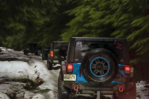
NF 7720000
This is a forest road leading from Wilkeson up into the mountains. The trail starts off nice and wide (approx 3 car widths) and continues up varying paths that wiggle down to a single lane. There is a variety of terrain in this section from dirt, gravel, loose rock, and mud. At this point in the sea...
Learn more about NF 7720000
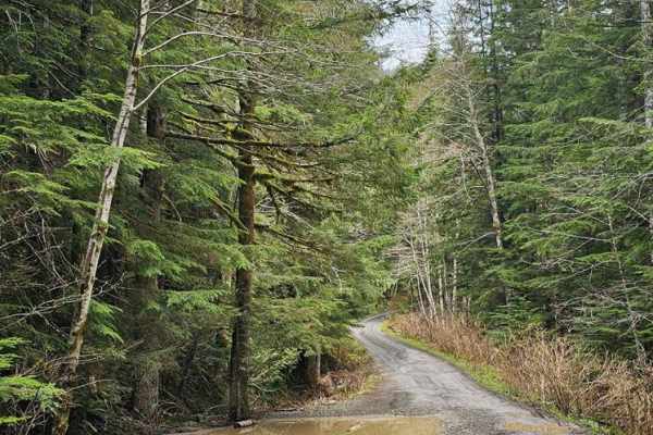
NF 7720000 Spur
This is a well-maintained new branch of 7720000 that was opened in Spring of 2024. Every fork off this road is valid. These forks are much narrower and might require high-clearance 4x4 in some cases. There are a few spots open for day camping, but nothing worth staying overnight.
Learn more about NF 7720000 Spur
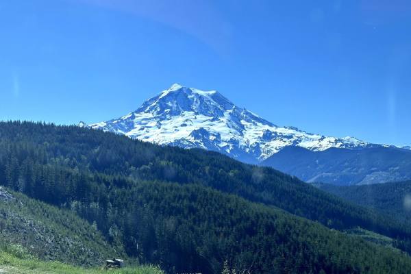
Evans Creek Campground/Trailhead
This 8.2-mile point-to-point trail begins as the pavement ends and continues to Evans Creek Campground and Trailhead. This is a well-maintained service road that is 2 vehicles wide. When open, the trail continues to Mowich Lake in Mount Rainier National Park. The campground has multiple primitive ca...
Learn more about Evans Creek Campground/Trailhead
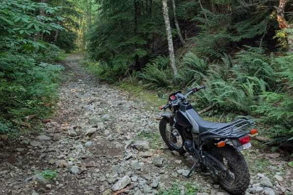
Middle Fork
Located deep in the dense woods outside of Wilkeson, Middle Fork is a moderately difficult route ideal for smaller, highly capable off-road vehicles. Unlike busier off-road spots in the area, you will rarely encounter anyone else on this trail, making it a perfect place to test your skills and your ...
Learn more about Middle Fork
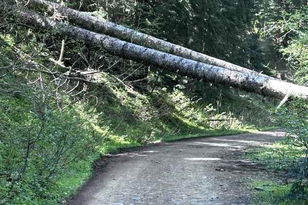
Poch Peak Trail
This 4.2-mile point-to-point trail starts at the Evans Creek Trailhead and goes up the west side of the ORV area. This trail is an easy drive with only shallow mud holes along the way. There is one washout that has short steep grades on each side. Several different trails are accessible from this tr...
Learn more about Poch Peak Trail
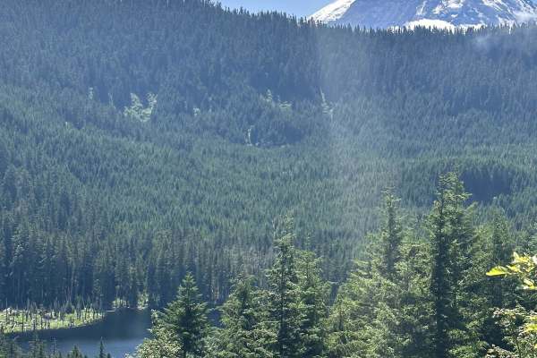
Summit Lake Trailhead
This 26-mile out-and-back trail takes you from the Carbon River Valley up to the Summit Lake Trailhead. There will be a left turn onto an expansive paved bridge that will take you across the Carbon River. This road is known as FS 7810, Summit Lake Trailhead Road, and Cayada Creek. After crossing th...
Learn more about Summit Lake Trailhead
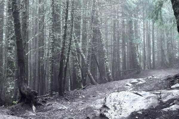
FS311
This 1.9 mile point-to-point trail starts at the front of Evans Creek OHV area and ends at the campground. The entrance of the trail has a large boulder to get around, either left or right. Right side is off-camber, left side is between two boulders but passable by most 4WD vehicles. There are sever...
Learn more about FS311
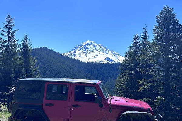
Poch Ridge Trail
This 3.2-mile point-to-point trail begins at the Evans Creek Trailhead and connects to two more challenging trails. This trail is an easy trail with shallow mud holes and ruts along it. There is one optional obstacle which is a short steep hill climb. There are several great views of Mount Rainier a...
Learn more about Poch Ridge Trail
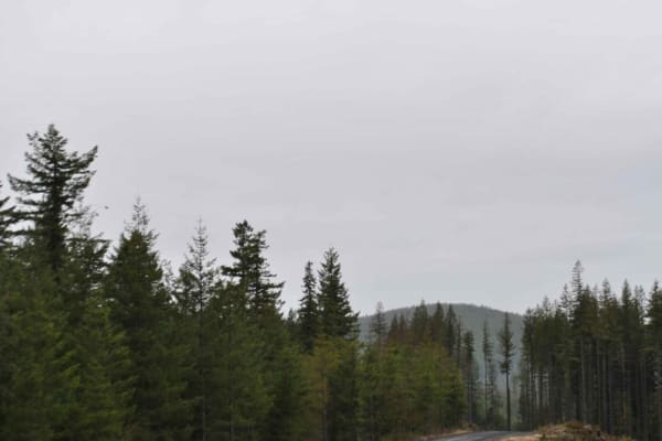
DNR 8 to Elbe Hills OHV
15 minutes outside of the quaint town of Eatonville, you'll find one of the locals' favorite OHV areas. This 8.1-mile trail accesses the Elbe Hills OHV Area from the west side and boasts several offshoots for dispersed camping. It has openings with amazing territorial views on a clear day, and moody...
Learn more about DNR 8 to Elbe Hills OHV
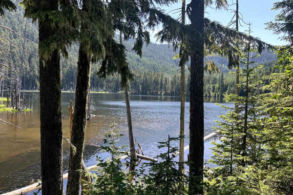
Coplay & East Lake Trail
This 3.2-mile out-and-back trail forks off of the Summit Lake trailhead road and gives access to both Coplay and East Lake. There is a campground with pit toilets at Coplay Lake. A portion of this trail takes you into the surrounding forest with dispersed camping spots. There is a small rock outcrop...
Learn more about Coplay & East Lake Trail
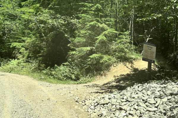
9 Road
This 4.5-mile point-to-point trail gives access to most of the 4WD trails (Mainline, Sunrise, Alder Loop, and Swamp trail) within the Elbe Hills ORV Area. It also gives access to the campground and dispersed camping area. At the end of the trail, there is a little obstacle area. This trail is a main...
Learn more about 9 Road
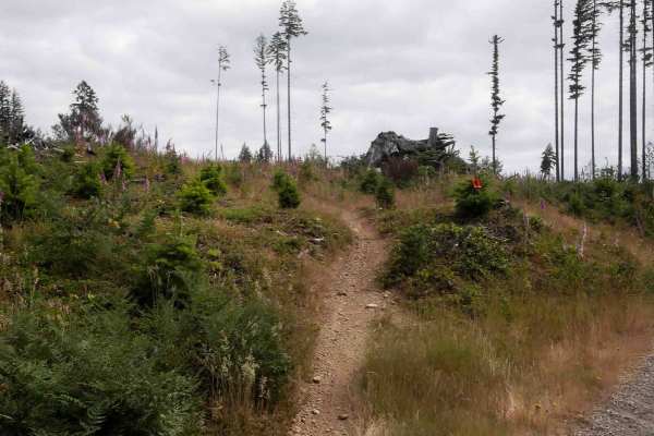
Raine's Grade
Raine's Grade is a 1.7-mile moderately easy single-track trail offering a mix of open and forested riding. The trail begins with a narrow, fast, and flowy path through grassy fields, with small loose rocks and very curvy, slaloming turns. It climbs a rolling hillside before crossing a road and trans...
Learn more about Raine's Grade
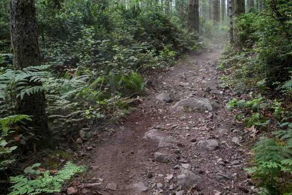
Derailleur
Derailleur is a 1.6-mile moderately easy singletrack trail that makes a loop off of Mission Creek Trail. It winds tightly through a dense forest with flowy but frequent curves, offering a fun and rhythmic ride. Some brushy areas reduce visibility, and riders should watch for a few larger root obstac...
Learn more about Derailleur
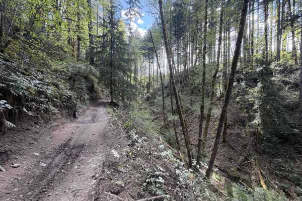
Mission Creek
This section of mission creek has some steep exposure that is clearly marked with caution signs. Keep in mind, Tahuya ORV park is 48” max width. The trail follows the river and weaves between the trees. You can expect exposed roots, tight trees, large rocks and whoops. The trail crosses a road a cou...
Learn more about Mission Creek

1.9 Mile
1.9 Mile is a primitive dirt bike trail weaving through dense pine trees and tight brush, with sharp turns and blind corners. It features small loose rocks and a few roots scattered across the path, as it winds through a logged area with piles of dead trees. The trail narrows into an overgrown grass...
Learn more about 1.9 Mile
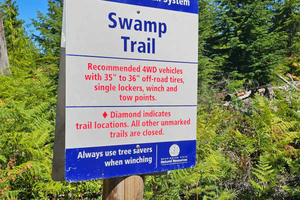
Swamp Trail
Swamp Trail is one of the more difficult routes in the Elbe Hills OHV Trail System, recommended for rigs with 35–36 inch tires, at least one locker, a winch, and solid recovery points. The trail features a mix of off-camber sections, exposed roots, mud, and a series of whoops. A large root obstacle ...
Learn more about Swamp Trail
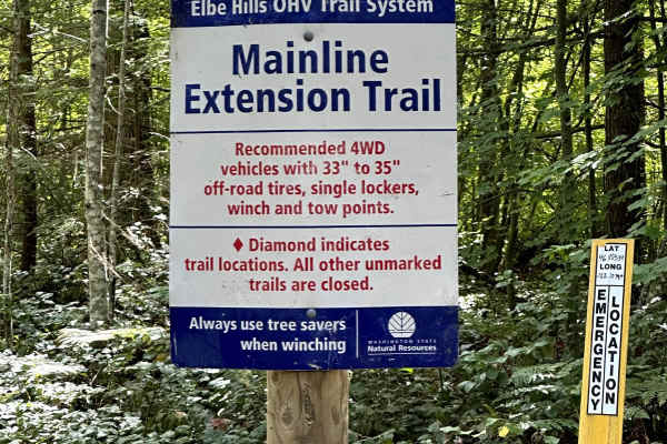
Mainline Extension
This short off-road trail connects the Alder Loop Trail to the Gotcha Trail. This trail winds through the trees with several tight sections, which can be difficult for longer-wheelbase vehicles. Stumps, logs, and rocks along the trail keep things interesting. This trail becomes more difficult during...
Learn more about Mainline Extension
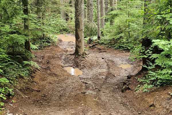
Gotcha
Gotcha Trail is a fun and challenging adventure within the Elbe Hills trail system, recommended for rigs running 31-inch tires or larger. This trail throws a little bit of everything at you: mud, rocks, stumps, tight squeezes, off-camber sections, logs, and even bridges. As you climb the steep hill,...
Learn more about Gotcha
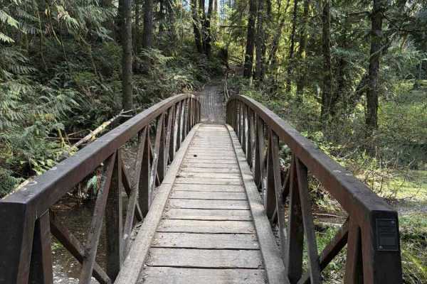
Overland Trail South
NOTE: Tahuya ORV Park Trails are two-way trails and have several blind corners. Keep your eyes up! This is the Southern section of The Overland Trail, and it “Starts” mid-trail at the “Mission Creek Junction” OR At Sand Hill staging. You can expect standing water throughout the fall, winter, and sp...
Learn more about Overland Trail South
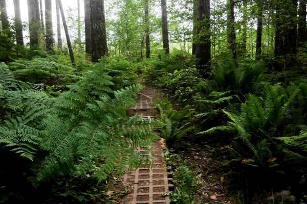
Northwest Passage
Northwest Passage is a 2.4-mile dirt bike route that offers a fast and flowy ride through a logging area with open views and tall ferns. The trail features tight, quick curves and brake bumps, with mostly smooth dirt and some small loose rocks. Intersections are generally marked, though a few unmark...
Learn more about Northwest Passage
ATV trails near Waller, Washington
Explore ATV-friendly trails near you. These trails are accessible for vehicles up to 50 inches wide, perfect for ATVs and smaller off-road machines.
NF 7720000
This is a forest road leading from Wilkeson up into the mountains. The trail starts off nice and wide (approx 3 car widths) and continues up varying paths that wiggle down to a single lane. There is a variety of terrain in this section from dirt, gravel, loose rock, and mud. At this point in the sea...
Learn more about NF 7720000
NF 7720000 Spur
This is a well-maintained new branch of 7720000 that was opened in Spring of 2024. Every fork off this road is valid. These forks are much narrower and might require high-clearance 4x4 in some cases. There are a few spots open for day camping, but nothing worth staying overnight.
Learn more about NF 7720000 Spur
Evans Creek Campground/Trailhead
This 8.2-mile point-to-point trail begins as the pavement ends and continues to Evans Creek Campground and Trailhead. This is a well-maintained service road that is 2 vehicles wide. When open, the trail continues to Mowich Lake in Mount Rainier National Park. The campground has multiple primitive ca...
Learn more about Evans Creek Campground/Trailhead
Middle Fork
Located deep in the dense woods outside of Wilkeson, Middle Fork is a moderately difficult route ideal for smaller, highly capable off-road vehicles. Unlike busier off-road spots in the area, you will rarely encounter anyone else on this trail, making it a perfect place to test your skills and your ...
Learn more about Middle Fork
UTV/side-by-side trails near Waller, Washington
Find UTV and side-by-side trails near you. These trails accommodate vehicles up to 60 inches wide, ideal for UTVs, side-by-sides, and wider off-road rigs.
NF 7720000
This is a forest road leading from Wilkeson up into the mountains. The trail starts off nice and wide (approx 3 car widths) and continues up varying paths that wiggle down to a single lane. There is a variety of terrain in this section from dirt, gravel, loose rock, and mud. At this point in the sea...
Learn more about NF 7720000
NF 7720000 Spur
This is a well-maintained new branch of 7720000 that was opened in Spring of 2024. Every fork off this road is valid. These forks are much narrower and might require high-clearance 4x4 in some cases. There are a few spots open for day camping, but nothing worth staying overnight.
Learn more about NF 7720000 Spur
Evans Creek Campground/Trailhead
This 8.2-mile point-to-point trail begins as the pavement ends and continues to Evans Creek Campground and Trailhead. This is a well-maintained service road that is 2 vehicles wide. When open, the trail continues to Mowich Lake in Mount Rainier National Park. The campground has multiple primitive ca...
Learn more about Evans Creek Campground/Trailhead
Middle Fork
Located deep in the dense woods outside of Wilkeson, Middle Fork is a moderately difficult route ideal for smaller, highly capable off-road vehicles. Unlike busier off-road spots in the area, you will rarely encounter anyone else on this trail, making it a perfect place to test your skills and your ...
Learn more about Middle Fork
The onX Offroad Difference
onX Offroad combines trail photos, descriptions, difficulty ratings, width restrictions, seasonality, and more in a user-friendly interface. Available on all devices, with offline access and full compatibility with CarPlay and Android Auto. Discover what you're missing today!
Open Trail Map