
Dirt Bike Trails
Near Tonalea, Arizona
Explore All Dirt Bike Trails Near Tonalea, Arizona
Dirt Bike Trails Near Tonalea, Arizona
Discover the best dirt bike trails near you. Browse trail maps, check difficulty ratings, and find your next adventure — whether you're looking for a quick ride or an all-day expedition.
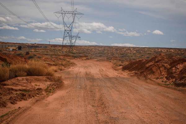
Powerline Perimeter
This is a 4-mile powerline road going along the north and west perimeter of this OHV area on City of Page land. The east end starts from Border Road at the end of the industrial park. The west end is off of Highway 89. It's a fast, straight, and flat powerline road, made of sand with lots of whoops....
Learn more about Powerline Perimeter
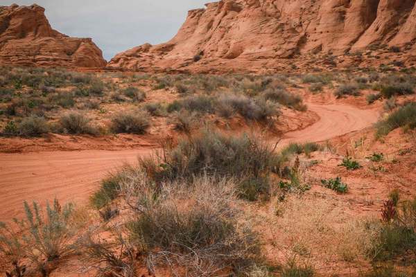
Page Trail
This 1.3-mile-long sand trail goes through City of Page land south of the town of Page, Arizona. It starts and ends off of the powerline road that starts at the entrance to the OHV area, at the end of the industrial complex. It goes through a red sandy desert with red cliffs in the distance. Most of...
Learn more about Page Trail
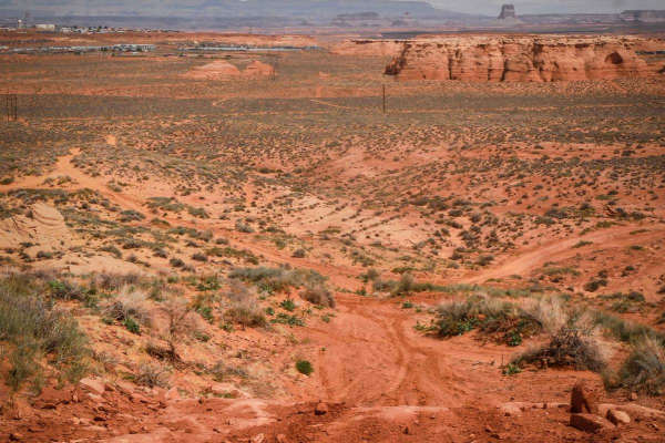
North Powerline
This is a 2-mile powerline trail in the desert south of the City of Page. The south end starts on top of one of the red sandstone mesas, at the intersection with Red Rim. On top of the mesa, it has a pretty cool view out over the whole valley. It has a slightly harder downhill to get off the mesa, w...
Learn more about North Powerline
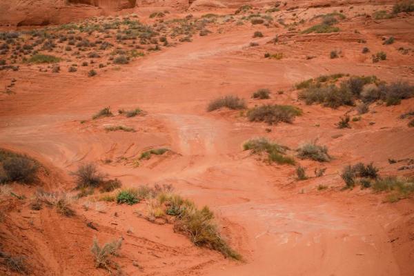
Cave View
This short sandy trail goes through City of Page land in a red sandy desert, right next to huge sandstone mesas and pink cliffs with cool views. The north end starts on a powerline road, and it goes south for 1.2 miles to the border with the Navajo Reservation. The track is elevated above a ravine b...
Learn more about Cave View
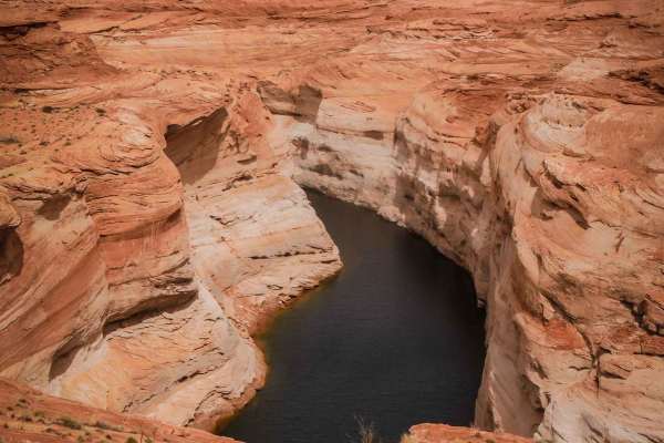
Lake Powell View Loop
This is a fun desert loop in Page, Arizona, that takes you out to a view of Lake Powell. It goes north from the dirt parking lot on Coppermine Road for 2 miles. Going counterclockwise from the south end, go past the RV park, and it's a red sandy track. Part of it is through a sandy wash between two ...
Learn more about Lake Powell View Loop
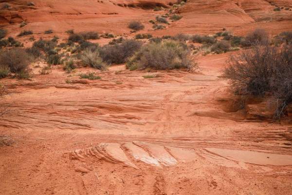
South Powerline
This trail starts as a powerline road on the southern border of the City of Page land bordering the Navajo Reservation, then turns north and goes along the red sandstone mesas. The powerline portion is red sand with lots of whoops. After the sharp turn north, it's still a sandy track with lots of wh...
Learn more about South Powerline
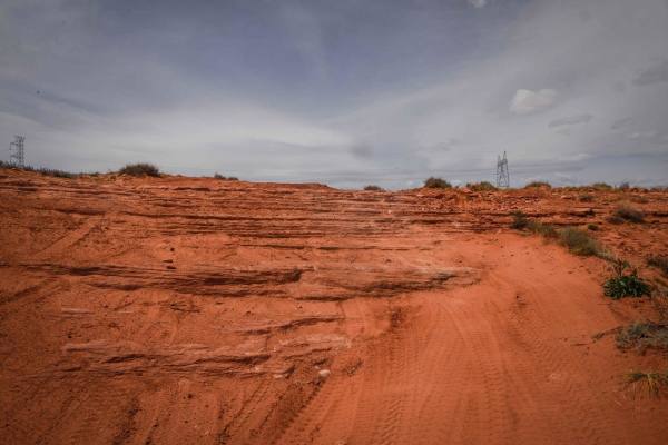
Red Rim
Red Rim is a 3-mile loop on top of one of the mesas in this red sandy desert by Page, Arizona. It has awesome views out towards Glen Canyon and toward the town of Page. The trail starts as easy sand under the powerlines and climbs up the mesa. The climb is not hard, but it is deep sand. Once you are...
Learn more about Red Rim
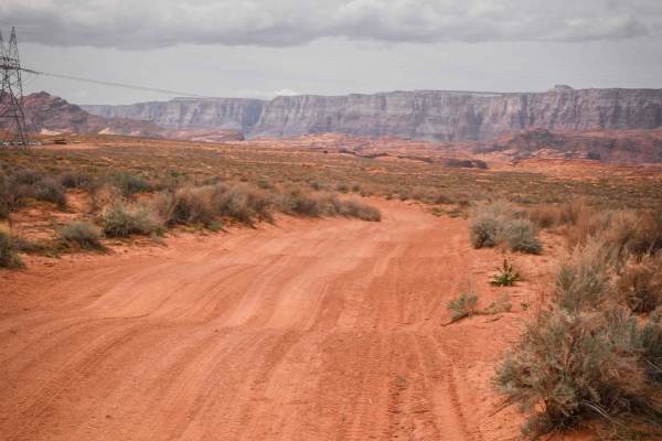
Diagonal Powerline
This is a 1.8-mile-long powerline road that diagonals through this red sandy desert and OHV area. The northwest end starts off of the perimeter powerline road and ends at the border of City of Page land, although the track keeps going into the Navajo Reservation. It's made of a mix of dirt and sand,...
Learn more about Diagonal Powerline
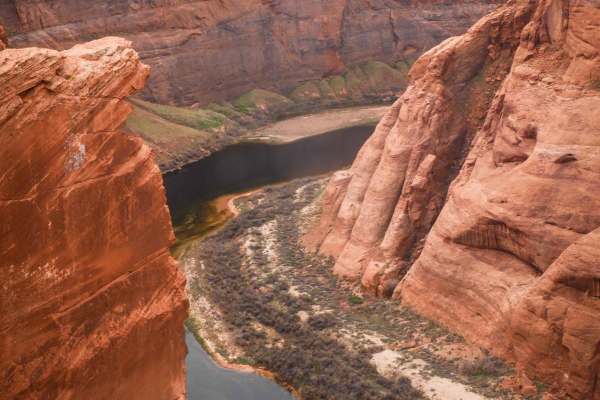
Colorado River View
This 1.8-mile track takes you from Highway 89 out to the canyon overlooking the Colorado River via a rocky powerline road. It starts out with slab rock on hardpacked sand and dirt underneath powerlines. It's flat and straight in the beginning, going over bumpy layers of slick rock. The slick rock cr...
Learn more about Colorado River View
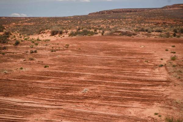
Powerline to Red Rim
This trail of just over a mile long goes through the red sandy desert on City of Page land. It cuts through the desert from northwest to southeast starting from the perimeter powerline road. It's sandy, whooped, and easy. Then it turns south towards the red sandstone mesa. It crosses lots of other t...
Learn more about Powerline to Red Rim
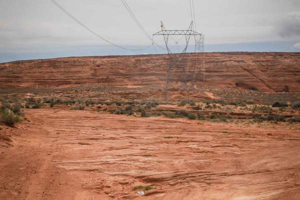
West Powerline
This 1.4-mile track is similar to the perimeter powerline trail, being mostly sand with lots of whoops. It has embedded rock slab sections, but the rock is all flat with no ledges, so it's still easy and it's very wide. This one has more sections of hardpacked dirt and isn't all completely sand, so ...
Learn more about West Powerline
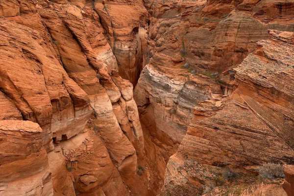
Antelope Slots Overlook
This short trail will take you to an unobstructed cliffside viewpoint of the slots in Antelope Canyon. A view with no other access road and would typically require a guided hiking tour to see from below, it is unrivaled. Just off of another trail, "Lake Powell View Loop", the trail to and from is ju...
Learn more about Antelope Slots Overlook
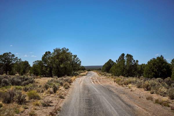
Old 64 / Tusayan Road
Old 64 Road is exactly that - the former highway that used to be the main entrance to Grand Canyon National Park from the East. While some of this trail is paved, don't be lulled into a false sense of security, as this is unmaintained, and hazards abound! After a short while on pavement, this trail ...
Learn more about Old 64 / Tusayan Road
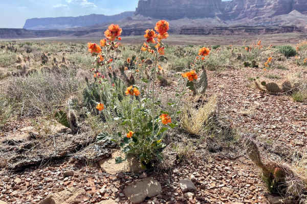
Little Badger Canyon
This short sweet out and back is a great camping option for the area. There are quite a few small off-shoot trails that all lead to nice flat spots. The views of the Vermillion Cliffs are outstanding at any time of day as they rise above every camping spot here. The main trail ends at a large level ...
Learn more about Little Badger Canyon
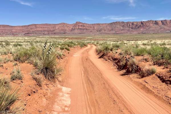
Badger Canyon
This short out-and-back trail is a trendy camping spot. It will be particularly busy over the weekends. To check it out, either way, is entirely worth it. The trail offers outstanding views of the surrounding cliffs, and if you are not afraid of a short hike, some fantastic views of Marble and Badge...
Learn more about Badger Canyon
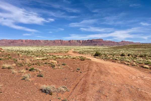
Soap Creek Skirt
This fun out and back features some nice large camp sights near the beginning of the trail that are easy to get to and offer amazing views of the vermillion cliffs. Springtime is an amazing time to be out here while the wildflowers explode with color and are wildly fragrant. The further back one tra...
Learn more about Soap Creek Skirt
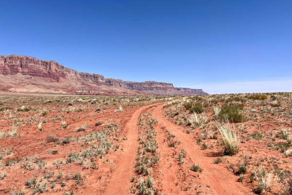
House Rock Valley
This sandy loop cruises around the desert past some lovely cattle pastures and curious cows. The views of Vermillion Cliffs and the North Rim of the Grand Canton are spectacular throughout the entire route. One could camp at any of the numerous spots where the cows get a drink of water. Overall the ...
Learn more about House Rock Valley
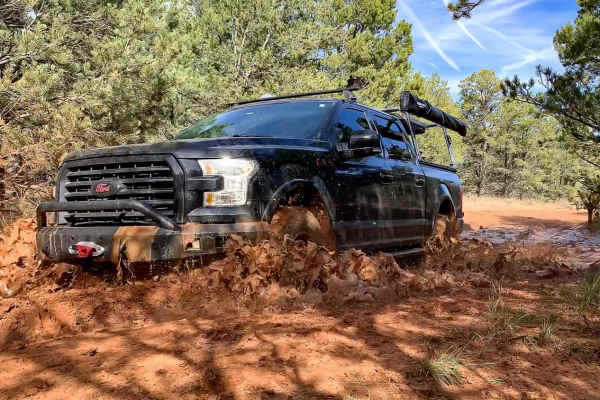
The Great Western Trail 150
The Great Western Trail is a 3,100-mile north-south long-distance multiple-use route that runs from Canada to Mexico through the five western states of Arizona, Utah, Idaho, Wyoming, and Montana. In Arizona, the trail consists of 800 miles of mixed-use trail that parallels the existing Arizona Trail...
Learn more about The Great Western Trail 150
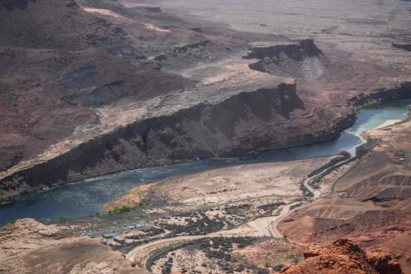
1043 Lees Ferry Overlook
1043 is a fun and scenic route through the Vermillion Cliffs with a bit more challenge compared to the rest of the roads in the area, and it leads to the incredible Lees Ferry Overlook in the Glen Canyon National Recreation Area. The trail is 6 miles long, starting on the north end on BLM land. As i...
Learn more about 1043 Lees Ferry Overlook
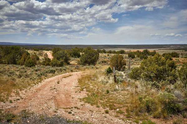
Rim Ruins
The Rim Ruins Trail is an interesting trail to say the least. Named for the ruins and its adjacent proximity to the Coconino Rim, this trail leads through what looks like an old homestead, with out buildings and a corral. The trail itself goes through the underbrush and scrubbrush of the Kaibab Nati...
Learn more about Rim Ruins
ATV trails near Tonalea, Arizona
Explore ATV-friendly trails near you. These trails are accessible for vehicles up to 50 inches wide, perfect for ATVs and smaller off-road machines.
Powerline Perimeter
This is a 4-mile powerline road going along the north and west perimeter of this OHV area on City of Page land. The east end starts from Border Road at the end of the industrial park. The west end is off of Highway 89. It's a fast, straight, and flat powerline road, made of sand with lots of whoops....
Learn more about Powerline Perimeter
Page Trail
This 1.3-mile-long sand trail goes through City of Page land south of the town of Page, Arizona. It starts and ends off of the powerline road that starts at the entrance to the OHV area, at the end of the industrial complex. It goes through a red sandy desert with red cliffs in the distance. Most of...
Learn more about Page Trail
North Powerline
This is a 2-mile powerline trail in the desert south of the City of Page. The south end starts on top of one of the red sandstone mesas, at the intersection with Red Rim. On top of the mesa, it has a pretty cool view out over the whole valley. It has a slightly harder downhill to get off the mesa, w...
Learn more about North Powerline
Cave View
This short sandy trail goes through City of Page land in a red sandy desert, right next to huge sandstone mesas and pink cliffs with cool views. The north end starts on a powerline road, and it goes south for 1.2 miles to the border with the Navajo Reservation. The track is elevated above a ravine b...
Learn more about Cave View
UTV/side-by-side trails near Tonalea, Arizona
Find UTV and side-by-side trails near you. These trails accommodate vehicles up to 60 inches wide, ideal for UTVs, side-by-sides, and wider off-road rigs.
Powerline Perimeter
This is a 4-mile powerline road going along the north and west perimeter of this OHV area on City of Page land. The east end starts from Border Road at the end of the industrial park. The west end is off of Highway 89. It's a fast, straight, and flat powerline road, made of sand with lots of whoops....
Learn more about Powerline Perimeter
Page Trail
This 1.3-mile-long sand trail goes through City of Page land south of the town of Page, Arizona. It starts and ends off of the powerline road that starts at the entrance to the OHV area, at the end of the industrial complex. It goes through a red sandy desert with red cliffs in the distance. Most of...
Learn more about Page Trail
North Powerline
This is a 2-mile powerline trail in the desert south of the City of Page. The south end starts on top of one of the red sandstone mesas, at the intersection with Red Rim. On top of the mesa, it has a pretty cool view out over the whole valley. It has a slightly harder downhill to get off the mesa, w...
Learn more about North Powerline
Cave View
This short sandy trail goes through City of Page land in a red sandy desert, right next to huge sandstone mesas and pink cliffs with cool views. The north end starts on a powerline road, and it goes south for 1.2 miles to the border with the Navajo Reservation. The track is elevated above a ravine b...
Learn more about Cave View
The onX Offroad Difference
onX Offroad combines trail photos, descriptions, difficulty ratings, width restrictions, seasonality, and more in a user-friendly interface. Available on all devices, with offline access and full compatibility with CarPlay and Android Auto. Discover what you're missing today!
Open Trail Map