
Dirt Bike Trails
Near Thomasville, Missouri
Explore All Dirt Bike Trails Near Thomasville, Missouri
Dirt Bike Trails Near Thomasville, Missouri
Discover the best dirt bike trails near you. Browse trail maps, check difficulty ratings, and find your next adventure — whether you're looking for a quick ride or an all-day expedition.
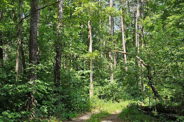
Boom Hole Access - FSR 3155B
After passing through the McCormack Lake Picnic Area, continue onto Forest Service Road 3155B. This trail winds through the forest until it reaches the Eleven Point River. Starting as a well-maintained forest service road, it later transitions into a gravel/dirt surface. Midway, the trail narrows an...
Learn more about Boom Hole Access - FSR 3155B
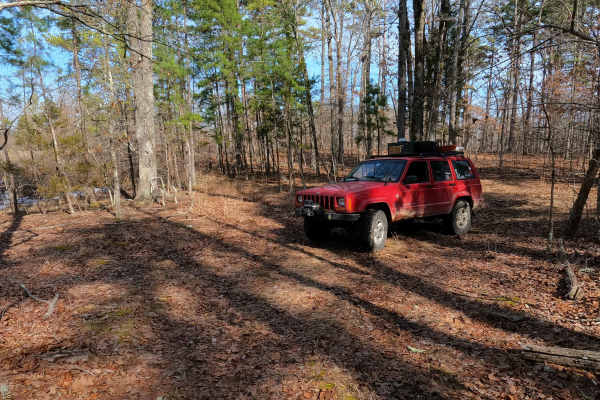
Tucker Road - FS 4099
Tucker Road (FS 4099) is a gravel, leaning into natural dirt forest road, within the Mark Twain National Forest, Doniphan / Eleven Point Unit. Tucker Road begins on the north shoulder of US Route 60 heading north into the woods, climbing uphill along the highway clearing, to turn into the dense wood...
Learn more about Tucker Road - FS 4099
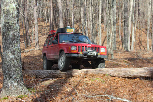
Ebb Spring - FS 4100
Ebb Spring (FS 4100) is a natural terrain forest service road within the Mark Twain National Forest, Doniphan / Eleven Point Unit. Ebb Spring is a short adventure starting from the north shoulder of US Route 60 heading north into the woods, passing the spur with a gate on the right at the entry, to ...
Learn more about Ebb Spring - FS 4100
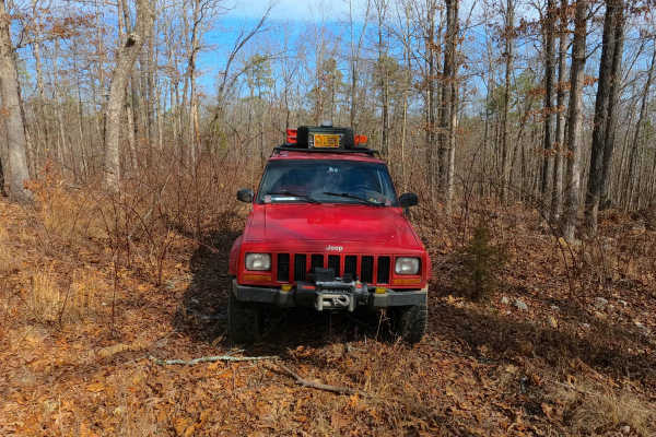
Exchange - FS 4101
Exchange (FS 4101) is a gravel and dirt forest service road within the Mark Twain National Forest, Doniphan / Eleven Point Unit. Exchange starts on the north shoulder of US-60 heading east-northeast into the woods, first climbing up the right-of-way embankment along the highway to meet the FS ID mar...
Learn more about Exchange - FS 4101
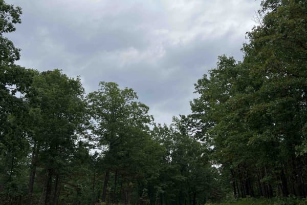
Turkey Knob 3145
Turkey Knob 3145 is an easy gravel road that takes you off-road from highway 60 south to highway 160 and is 23.8 miles long. When you first turn off of highway 60, you will find signs on the Decline of the Shortleaf Pine which is a collaborative project with several organizations to help bring the s...
Learn more about Turkey Knob 3145
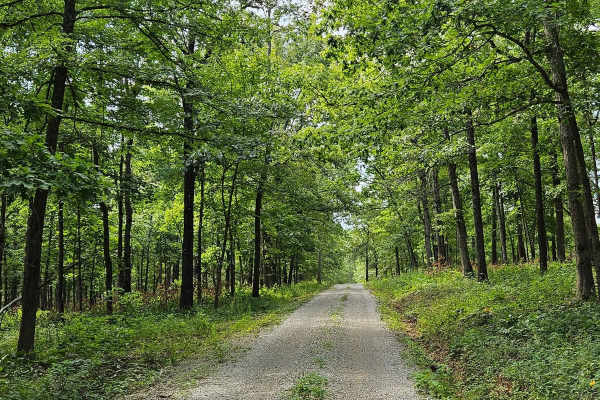
Wolf Mountain - FSR 3213
FSR 3213 can be accessed from either end, running from U.S. Route 160 to MO V. This well-maintained gravel forest service road is suitable for most vehicles. As it winds up Wolf Mountain, you'll enjoy beautiful views of the Mark Twain National Forest. Upon reaching the summit of Wolf Mountain, at 92...
Learn more about Wolf Mountain - FSR 3213
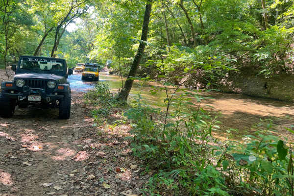
Horse Hollow - SCR 319A
Horse Hollow Road, also known as Angeline Road, or Shannon County Road 319 and 319A, is a natural dirt and creek gravel road through the Missouri Department of Conservation's Angeline Conservation Area, and a small portion of the Ozark National Scenic Riverways. The Shannon 319A is a historic road t...
Learn more about Horse Hollow - SCR 319A
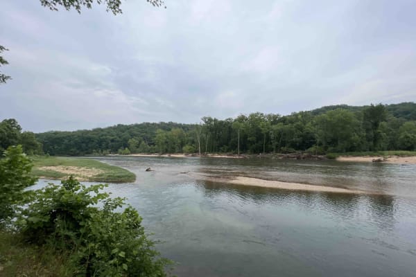
Gooseneck 3412
Gooseneck 3412 is a beautiful scenic drive along an easy gravel road that is well-maintained through the Mark Twain National Forest. This route is situated just southwest of Grandin, Missouri on the Current River in the Ozark National Scenic Riverway. This route leads to the Gooseneck Campground whe...
Learn more about Gooseneck 3412
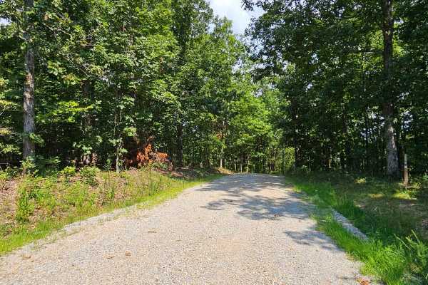
Camp Roy - FSR 3208
This trail begins as a well-maintained gravel surface forest service road. It continues as such for approximately half the distance of the trail up until you reach a large open grass area. This area is large enough for several vehicles to park at once and would make a great campsite. This area can b...
Learn more about Camp Roy - FSR 3208
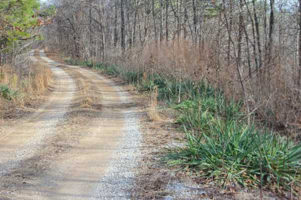
Perkins Ridge - FS 423
Perkins Ridge (FS 423) is a semi-maintained gravel forest service road within the Willow Springs Unit of Mark Twain National Forest. The Perkins Ridge begins at Missouri Route AM, heading west along the raised ridge top spines, first dropping downhill as it overlooks deep valleys on both sides of th...
Learn more about Perkins Ridge - FS 423
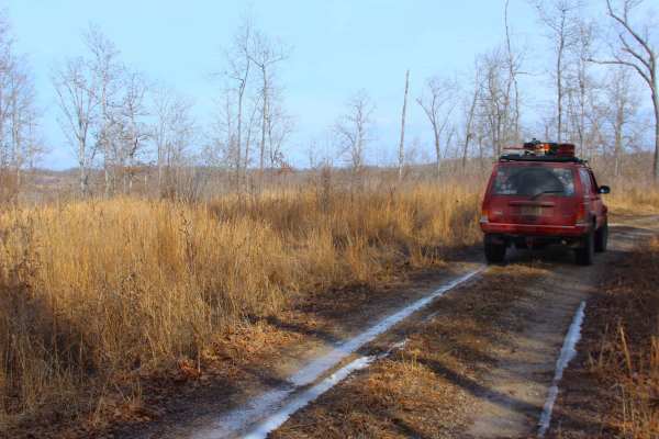
Tick Hollow - FS 423A
Tick Hollow (FS 423A), also known as Perkins Ridge Spur, is a semi-maintained gravel forest service road within the Willow Springs Unit of Mark Twain National Forest. The Tick Hollow road begins as the northern offshoot from the Perkins Ridge FS 423, turning northward, going down a short hill, up to...
Learn more about Tick Hollow - FS 423A
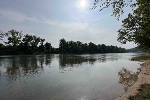
Compton 3144
Compton 3144 is nestled in the beautiful and scenic Mark Twain National Forest located just west of Doniphan, Missouri. Compton 3144 is not advised for low clearance vehicles due to a water crossing right near the end of the trail. It's also really steep at the end and curves through the forest with...
Learn more about Compton 3144
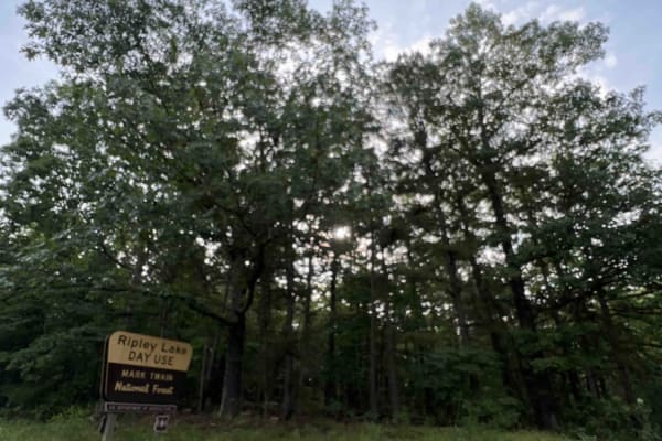
Ripley Lake 3240
Ripley Lake 3240 is a short easy well maintained gravel road to Ripley Lake which is a 20 acre 12 foot deep lake. There you can find picnic areas with barbeque pits and boat docks for fishing. Anglers will need a fishing permit from the Missouri Department of Conservation. The only downside is ther...
Learn more about Ripley Lake 3240
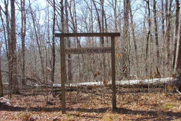
Stockman - FS 498
Stockman (FS 498), or Carroll Cemetery Road, is a gravel forest service road within the Noblett Day Use Area, part of the greater Willow Springs Unit of Mark Twain National Forest. The road begins heading south off the paved Noblett Lake Rec Area FS 857 that is used as the main road through Noblett ...
Learn more about Stockman - FS 498
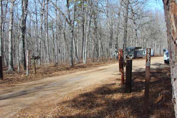
Sugar Hill Loop - FS 857B
Sugar Hill Loop (FS 857B) is a former paved campground road, now a gravel forest service road within the Noblett Lake Day Use Area in Willow Springs Unit of Mark Twain National Forest. The road begins heading north off the paved Noblett Lake Rec Area FS 857 that is used as the main road through Nobl...
Learn more about Sugar Hill Loop - FS 857B
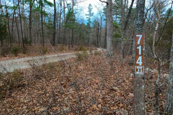
Robin Hood - FS 714
Robin Hood (FS 714) is a semi-maintained gravel Forest Service road within the Willow Springs Unit of Mark Twain National Forest. Robin Hood begins at the Howell County Road 5710 heading south into the forest, first descending a curvy hill overlooking a small water collection area to the southwest, ...
Learn more about Robin Hood - FS 714
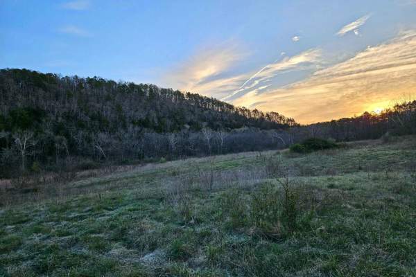
Hay Hollow
Hay Hollow FS 759 offers complex terrain, amazing views, historic sites, and fantastic camping. If running this trail from east to west, the trail starts with a large circle parking area (picnic table and fire pit). Follow a minor road where the actual trail begins. Immediately, you will cross Mine ...
Learn more about Hay Hollow
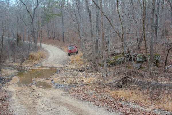
Indian Narrows - FS 426
Indian Narrows (FS 426) is a semi-maintained gravel Forest Service road within the Willow Springs Unit of Mark Twain National Forest. Indian Narrows begins at the Missouri Route AM along the ridge top, heading south, slowly losing elevation at first, then gradually getting steeper in grade to the po...
Learn more about Indian Narrows - FS 426
Middle Ridge - FS 424
Middle Ridge (FS 424) is a semi-maintained gravel forest service road within the Willow Springs Unit of Mark Twain National Forest. The road begins at Missouri Route AM, heading north along the elevated ridge. When at the half-mile mark from the entry of the track, there is a small peak of a ridge s...
Learn more about Middle Ridge - FS 424
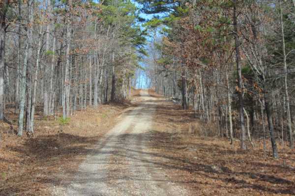
Twin Mountain - FS 418
Twin Mountain (FS 418) is a semi-maintained gravel Forest Service road within the Willow Springs Unit of Mark Twain National Forest. It logistically leaves the Missouri South Route 181/Blue Buck Knob scenic byway, heading south into the forest, first crossing a small valley with a water runoff washe...
Learn more about Twin Mountain - FS 418
ATV trails near Thomasville, Missouri
Explore ATV-friendly trails near you. These trails are accessible for vehicles up to 50 inches wide, perfect for ATVs and smaller off-road machines.
Boom Hole Access - FSR 3155B
After passing through the McCormack Lake Picnic Area, continue onto Forest Service Road 3155B. This trail winds through the forest until it reaches the Eleven Point River. Starting as a well-maintained forest service road, it later transitions into a gravel/dirt surface. Midway, the trail narrows an...
Learn more about Boom Hole Access - FSR 3155B
Tucker Road - FS 4099
Tucker Road (FS 4099) is a gravel, leaning into natural dirt forest road, within the Mark Twain National Forest, Doniphan / Eleven Point Unit. Tucker Road begins on the north shoulder of US Route 60 heading north into the woods, climbing uphill along the highway clearing, to turn into the dense wood...
Learn more about Tucker Road - FS 4099
Ebb Spring - FS 4100
Ebb Spring (FS 4100) is a natural terrain forest service road within the Mark Twain National Forest, Doniphan / Eleven Point Unit. Ebb Spring is a short adventure starting from the north shoulder of US Route 60 heading north into the woods, passing the spur with a gate on the right at the entry, to ...
Learn more about Ebb Spring - FS 4100
Exchange - FS 4101
Exchange (FS 4101) is a gravel and dirt forest service road within the Mark Twain National Forest, Doniphan / Eleven Point Unit. Exchange starts on the north shoulder of US-60 heading east-northeast into the woods, first climbing up the right-of-way embankment along the highway to meet the FS ID mar...
Learn more about Exchange - FS 4101
UTV/side-by-side trails near Thomasville, Missouri
Find UTV and side-by-side trails near you. These trails accommodate vehicles up to 60 inches wide, ideal for UTVs, side-by-sides, and wider off-road rigs.
Boom Hole Access - FSR 3155B
After passing through the McCormack Lake Picnic Area, continue onto Forest Service Road 3155B. This trail winds through the forest until it reaches the Eleven Point River. Starting as a well-maintained forest service road, it later transitions into a gravel/dirt surface. Midway, the trail narrows an...
Learn more about Boom Hole Access - FSR 3155B
Tucker Road - FS 4099
Tucker Road (FS 4099) is a gravel, leaning into natural dirt forest road, within the Mark Twain National Forest, Doniphan / Eleven Point Unit. Tucker Road begins on the north shoulder of US Route 60 heading north into the woods, climbing uphill along the highway clearing, to turn into the dense wood...
Learn more about Tucker Road - FS 4099
Ebb Spring - FS 4100
Ebb Spring (FS 4100) is a natural terrain forest service road within the Mark Twain National Forest, Doniphan / Eleven Point Unit. Ebb Spring is a short adventure starting from the north shoulder of US Route 60 heading north into the woods, passing the spur with a gate on the right at the entry, to ...
Learn more about Ebb Spring - FS 4100
Exchange - FS 4101
Exchange (FS 4101) is a gravel and dirt forest service road within the Mark Twain National Forest, Doniphan / Eleven Point Unit. Exchange starts on the north shoulder of US-60 heading east-northeast into the woods, first climbing up the right-of-way embankment along the highway to meet the FS ID mar...
Learn more about Exchange - FS 4101
The onX Offroad Difference
onX Offroad combines trail photos, descriptions, difficulty ratings, width restrictions, seasonality, and more in a user-friendly interface. Available on all devices, with offline access and full compatibility with CarPlay and Android Auto. Discover what you're missing today!
Open Trail Map