
Dirt Bike Trails
Near Teasdale, Utah
Explore All Dirt Bike Trails Near Teasdale, Utah
Dirt Bike Trails Near Teasdale, Utah
Discover the best dirt bike trails near you. Browse trail maps, check difficulty ratings, and find your next adventure — whether you're looking for a quick ride or an all-day expedition.

Loa Great Western Trail
This portion of the Great Western Trail stretches from the red rock-covered low lands around Loa up onto the Thousand Lake mountain plateau. The higher elevations are covered in Pine and Aspen trees. There is an abundance of wildlife from the Rocky Mountain Elk, Mule Deer, Coyote, and smaller rabbit...
Learn more about Loa Great Western Trail
Great Western Trail - Pine Lake to Torrey, Utah
Great Western Trail-Pine Lake to Torrey, Utah is a 77-mile point-to-point trail rated 4 of 10 located in South Central, Utah. The Great Western Trail is a continuous trail system spanning about 4,455 miles that extends from Mexico to Canada and crosses through Arizona, New Mexico, Utah, Wyoming, Mon...
Learn more about Great Western Trail - Pine Lake to Torrey, Utah
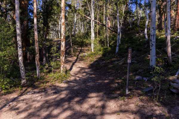
Deep Creek Trail
Be prepared for a slow, bumpy, yet beautiful ride. The East end of this trail starts out near a boulder field and cuts through some dense pine trees. There is minimal vegetation when in the pines, however this changes to grasses and sagebrush in the lower elevations. Wildlife can be seen anywhere al...
Learn more about Deep Creek Trail
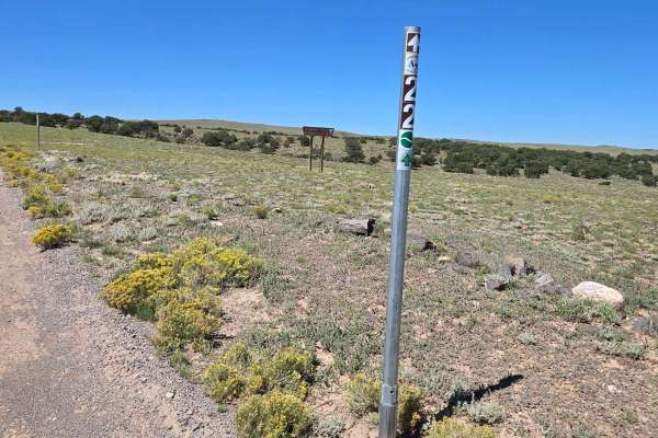
Parker Mountain 22
This is a wide, well-maintained dirt road. The road is marked as PMT22 on FSR 0021.This could be confusing because PMT 21 turns left off of PMT 22 further down the trail on FSR0021. In the Paiute Trails and Parker Mountain Trails map book, this trail is listed as PMT21. We saw antelope and cattle on...
Learn more about Parker Mountain 22
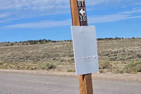
Smooth Knoll Road
This is an easy trail, well graded and well maintained. You will travel from 7870 feet in elevation to 9886 feet elevation, where this meets the Great Western Trail. You will be mostly in a high grassy plain, but you will pass groves of trees to the side of the trail. As you head south, this trail ...
Learn more about Smooth Knoll Road

Parker Mountain 18
When you turn onto this trail, it looks like you're driving on two tracks in the grass. This trail has some twists and turns, and plenty of plenty of open plains covered with sage and grass. This trail is a little rougher than the other trails in the area. You could encounter mud puddles and rocks o...
Learn more about Parker Mountain 18
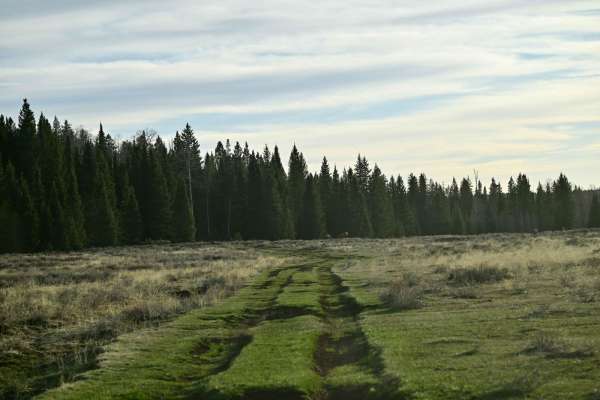
Alternate GWT - FR129
The main Great Western Trail takes you across Boulder Top and Bluebell Knoll, which at 10,000ft + elevation means the date window for riding is abbreviated due to snow at higher elevations. This main route was impassable in mid-May. Much of this trail is recognized by the National Forest as an alter...
Learn more about Alternate GWT - FR129
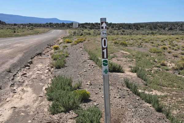
Parker Mountain 1-21
Turn off of Utah Highway 24 to start this trail. You will encounter some beautiful rock formations and vast panoramic views. PMT 1 is a well-maintained road of dirt and gravel. You may well see livestock and antelope while driving in this area. Mostly sage brush with sparse scrub oak trees along the...
Learn more about Parker Mountain 1-21
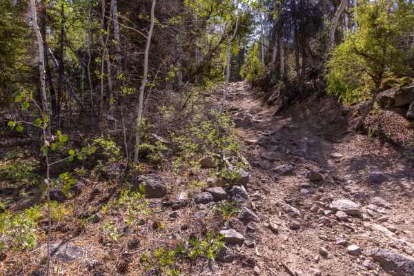
Blind Lake Trail
The trail to Blind Lake is paved with stone. Unfortunately, the stones aren't level and they are everywhere. If you are in an ATV or dirt bike, be prepared for a bumpy ride. The trail remains relatively flat as it traverses from the Reese Creek trail to Blind Lake. Vegetation along the trail is very...
Learn more about Blind Lake Trail
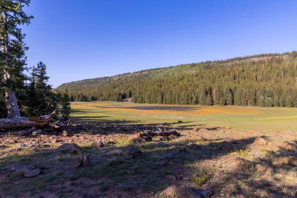
Deep Creek Lake Road
Deep Creek Lake Road traverse's the East side of the Thousand Lake Mountain range from the North end and wraps around the South end of the mountain. Depending on how wet of a year it is, there are lakes and ponds throughout the region. This is a favored fishing spot by all. Several roads, ATV trails...
Learn more about Deep Creek Lake Road

Chokecherry Point
Chokecherry Point has an amazing view, it is said that you can see more than 100 miles in a 180-degree radius. Ranger Walter E. Hanks was the first Ranger in this district. Chokecherry Point was his favorite place on Boulder Mountain, this was the place he would show his visitors, including his supe...
Learn more about Chokecherry Point
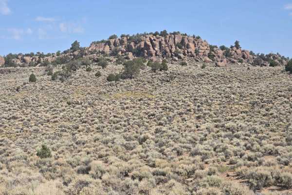
Parker Mountain Trail 14 to Junction Shallow Hollow Road
Leaving the pavement on Long Hollow Road. This section of the trail connects to the PMT 14 intersection of Shallow Hollow Road. Most of these roads are county-maintained. They are periodically graded during the rainy season. Most vehicles can traverse during all weather. Not suitable for low-clearan...
Learn more about Parker Mountain Trail 14 to Junction Shallow Hollow Road

Thousand Lake Mountain Road
This is a very non-technical road that connects from the Cathedral Valley trail up to Elkhorn Road by Fish Lake. What the road lacks in technical fun and challenges it more than makes up for with sweeping vistas of the Capitol Reef area as well as Thousand Lake Mountain. It can be driven in either d...
Learn more about Thousand Lake Mountain Road
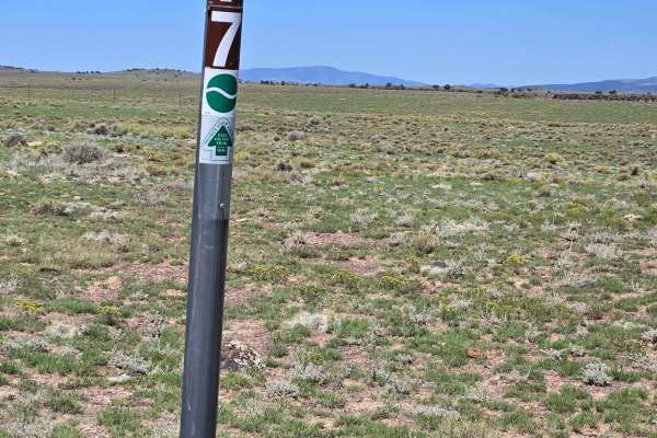
Parker Mountain 17
This road is partially maintained but not used often. On this road, we saw antelope running. This is another wide, high plains view road, with lots of grass, sage, and watering holes for wildlife and cattle. There are scrub oak trees in the distance and large expanses of mountains in the background.
Learn more about Parker Mountain 17
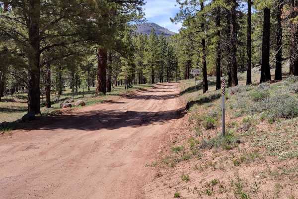
30323 - Wildcat Trail
From off of Highway 12, this nearly 2-mile out-and-back trail dead-ends at a beautiful little meadow view. It's not flat enough to camp at, unfortunately. As far as difficulty, there are a handful of small mud ruts and runoff mounds to navigate, to which having some sort of vehicle clearance helps. ...
Learn more about 30323 - Wildcat Trail

31958-B
This is a very short offshoot trail from 35158. It's on the advanced side with a couple of steep hill climbs, a couple of which have some rocky sections to navigate. It abruptly dead ends up on a hillside. If you walk across the hill a few feet, through the trees you can catch quite an expansive vie...
Learn more about 31958-B
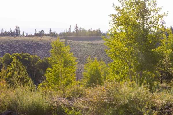
Elkhorn Road
Elkhorn Road is well-maintained and offers access to Deep Creek Lake Road and Elkhorn Campground. The campground and surrounding area are great for tents, as well as travel trailers. The area offers great views of the San Rafael and Capital Reef below along with Pine and Aspen Groves. The area is fr...
Learn more about Elkhorn Road
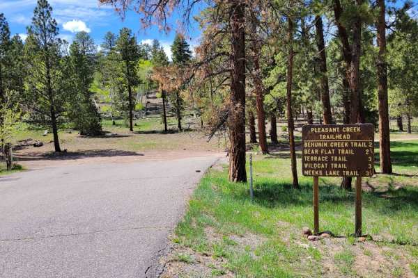
35158 - Pleasant Cr Trail
This is actually part of the Great Western Trail - a hiking route that spans North/South from Mexico to Canada. Hikers could be present on the trail, so please be respectful. The trail begins with a short, rocky hill climb and is the first of many you'll experience along the way. The next ones are s...
Learn more about 35158 - Pleasant Cr Trail
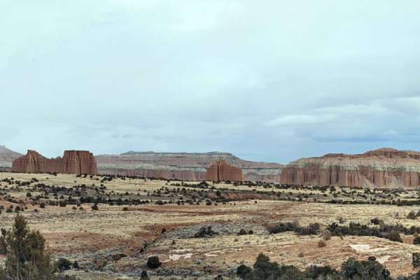
Hartnett Road
This is a really fun trail. I loved this because a good chunk of it is right in the heart of Capitol Reef National Park. There is a campground right near the beginning of this trail (if you start in Capitol Reef), and there are a ton of hikes that you can stop and enjoy on this trail, each of which ...
Learn more about Hartnett Road
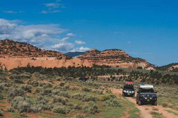
Tantalus Flat - NF30168
Fun mixed terrain route accessing Lower Browns Reservoir, Jorgensen Flat, Tantalus Flats, Laurel and Hardy Arch, and the Western back-door access point of Capitol Reef National Park. This route starts out as a graded gravel Forest Service road that begins to denigrate into a bumpy dirt two-track as ...
Learn more about Tantalus Flat - NF30168
ATV trails near Teasdale, Utah
Explore ATV-friendly trails near you. These trails are accessible for vehicles up to 50 inches wide, perfect for ATVs and smaller off-road machines.
Loa Great Western Trail
This portion of the Great Western Trail stretches from the red rock-covered low lands around Loa up onto the Thousand Lake mountain plateau. The higher elevations are covered in Pine and Aspen trees. There is an abundance of wildlife from the Rocky Mountain Elk, Mule Deer, Coyote, and smaller rabbit...
Learn more about Loa Great Western Trail
Great Western Trail - Pine Lake to Torrey, Utah
Great Western Trail-Pine Lake to Torrey, Utah is a 77-mile point-to-point trail rated 4 of 10 located in South Central, Utah. The Great Western Trail is a continuous trail system spanning about 4,455 miles that extends from Mexico to Canada and crosses through Arizona, New Mexico, Utah, Wyoming, Mon...
Learn more about Great Western Trail - Pine Lake to Torrey, Utah
Deep Creek Trail
Be prepared for a slow, bumpy, yet beautiful ride. The East end of this trail starts out near a boulder field and cuts through some dense pine trees. There is minimal vegetation when in the pines, however this changes to grasses and sagebrush in the lower elevations. Wildlife can be seen anywhere al...
Learn more about Deep Creek Trail
Parker Mountain 22
This is a wide, well-maintained dirt road. The road is marked as PMT22 on FSR 0021.This could be confusing because PMT 21 turns left off of PMT 22 further down the trail on FSR0021. In the Paiute Trails and Parker Mountain Trails map book, this trail is listed as PMT21. We saw antelope and cattle on...
Learn more about Parker Mountain 22
UTV/side-by-side trails near Teasdale, Utah
Find UTV and side-by-side trails near you. These trails accommodate vehicles up to 60 inches wide, ideal for UTVs, side-by-sides, and wider off-road rigs.
Great Western Trail - Pine Lake to Torrey, Utah
Great Western Trail-Pine Lake to Torrey, Utah is a 77-mile point-to-point trail rated 4 of 10 located in South Central, Utah. The Great Western Trail is a continuous trail system spanning about 4,455 miles that extends from Mexico to Canada and crosses through Arizona, New Mexico, Utah, Wyoming, Mon...
Learn more about Great Western Trail - Pine Lake to Torrey, Utah
Parker Mountain 22
This is a wide, well-maintained dirt road. The road is marked as PMT22 on FSR 0021.This could be confusing because PMT 21 turns left off of PMT 22 further down the trail on FSR0021. In the Paiute Trails and Parker Mountain Trails map book, this trail is listed as PMT21. We saw antelope and cattle on...
Learn more about Parker Mountain 22
Smooth Knoll Road
This is an easy trail, well graded and well maintained. You will travel from 7870 feet in elevation to 9886 feet elevation, where this meets the Great Western Trail. You will be mostly in a high grassy plain, but you will pass groves of trees to the side of the trail. As you head south, this trail ...
Learn more about Smooth Knoll Road
Parker Mountain 18
When you turn onto this trail, it looks like you're driving on two tracks in the grass. This trail has some twists and turns, and plenty of plenty of open plains covered with sage and grass. This trail is a little rougher than the other trails in the area. You could encounter mud puddles and rocks o...
Learn more about Parker Mountain 18
The onX Offroad Difference
onX Offroad combines trail photos, descriptions, difficulty ratings, width restrictions, seasonality, and more in a user-friendly interface. Available on all devices, with offline access and full compatibility with CarPlay and Android Auto. Discover what you're missing today!
Open Trail Map